Cumnor

Settlement in Berkshire Vale of White Horse

England

Cumnor

Plaque dedicating bus shelter to Selby Tiptaft Cornish Inscription:
This shelter is erected in loving memory of Selby Tiptaft Cornish who was killed climbing on Ben Nevis July 9th 1948
The gift of God is eternal life through Jesus Christ our Lord
Romans 6:23
Plaque dedicating bus shelter to Selby Tiptaft Cornish Credit: Ross T

Cumnor is a village located in the county of Berkshire, England. Situated about 3 miles southwest of the historic city of Oxford, Cumnor enjoys a picturesque setting surrounded by beautiful countryside and is known for its rural charm.

The village is home to approximately 2,500 residents and has a rich history dating back to the Roman times. It is believed that Cumnor was once the site of a Roman villa, and remnants of this era have been found in the area. The village also played a role in the English Civil War, with the nearby Cumnor Place being the residence of Amy Robsart, the wife of Robert Dudley, 1st Earl of Leicester.

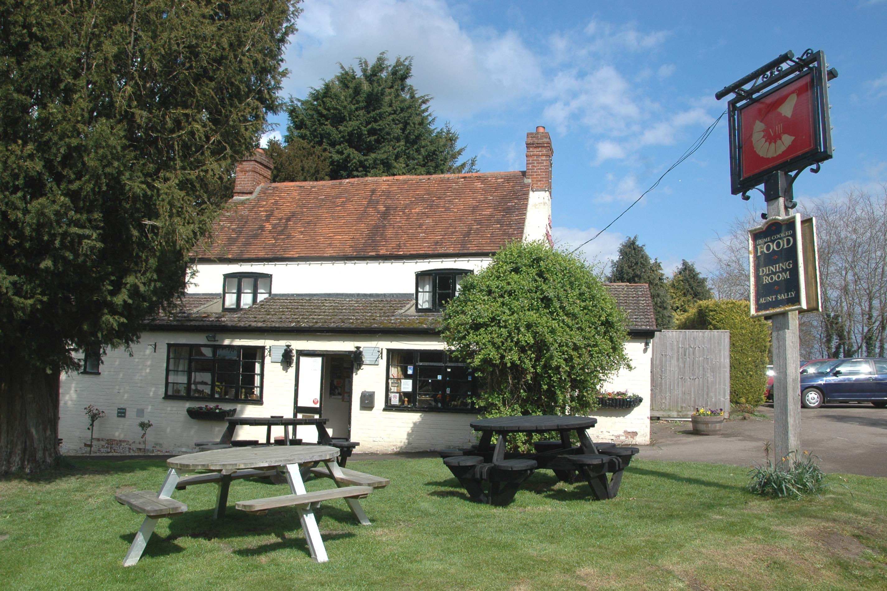
Today, Cumnor boasts a close-knit community and offers a range of amenities for its residents. The village has a primary school, a church, a pub, and a local shop catering to the daily needs of the villagers. The surrounding countryside provides ample opportunities for outdoor activities such as walking, cycling, and horse riding.

Despite its rural character, Cumnor benefits from its proximity to Oxford, which is easily accessible by road and public transport. This allows residents to enjoy the cultural and educational offerings of the city, including the world-renowned University of Oxford and its many museums, galleries, and libraries.

In conclusion, Cumnor is a charming village with a rich history, idyllic countryside surroundings, and convenient access to the nearby city of Oxford. It offers a peaceful and close-knit community for its residents, making it an attractive place to live.

If you have any feedback on the listing, please let us know in the comments section below.
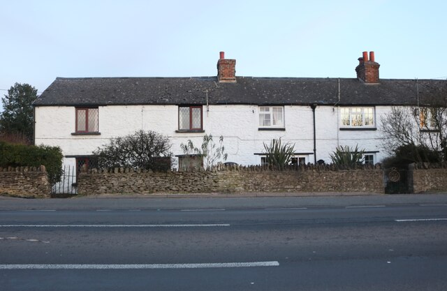
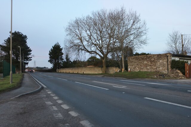
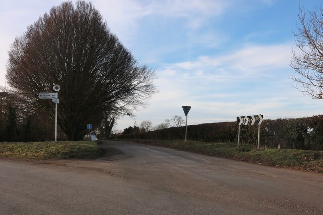
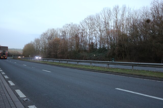
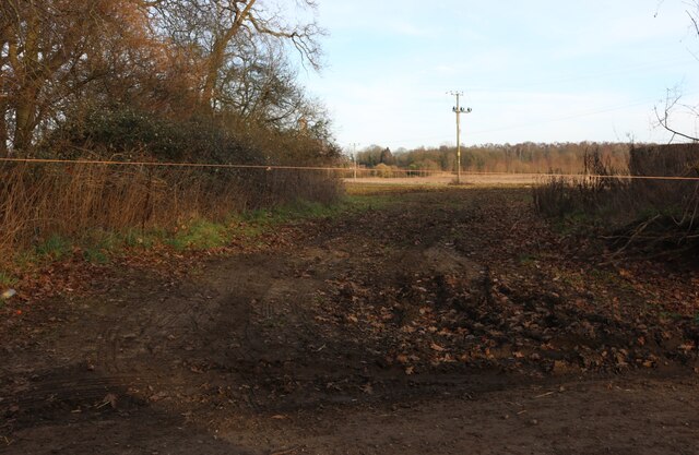
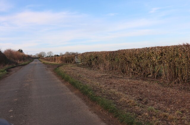
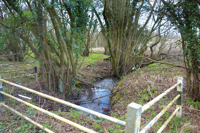
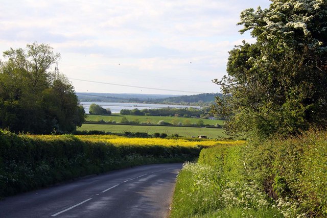
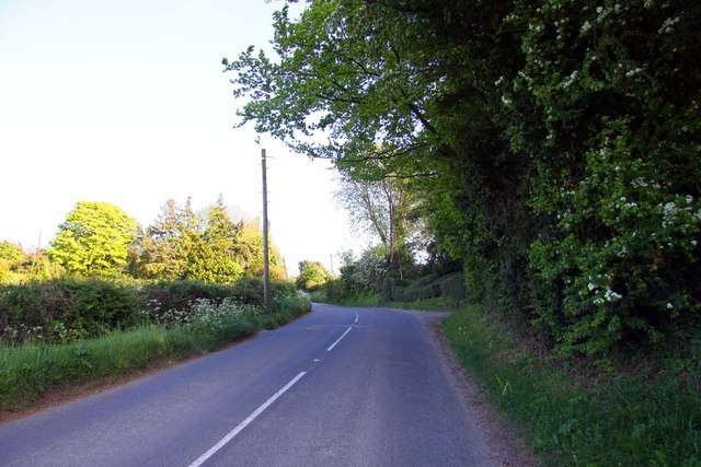
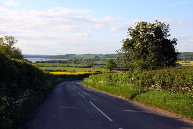
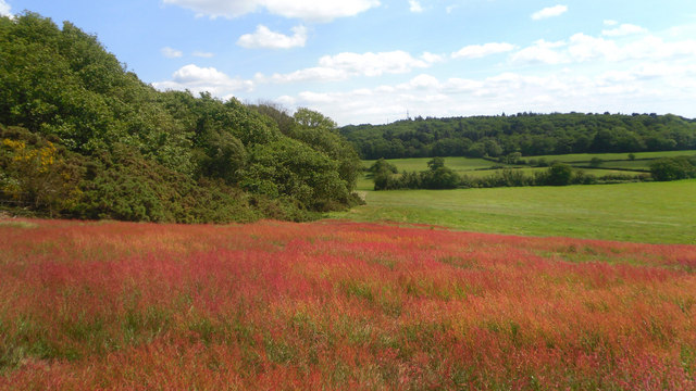
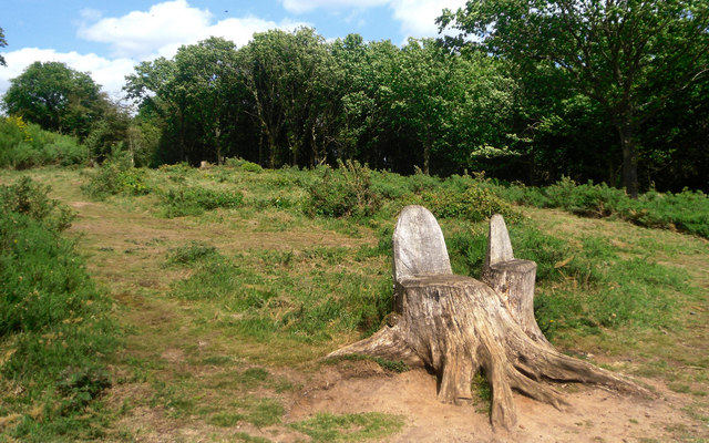
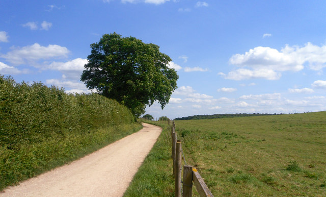
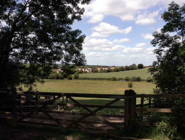
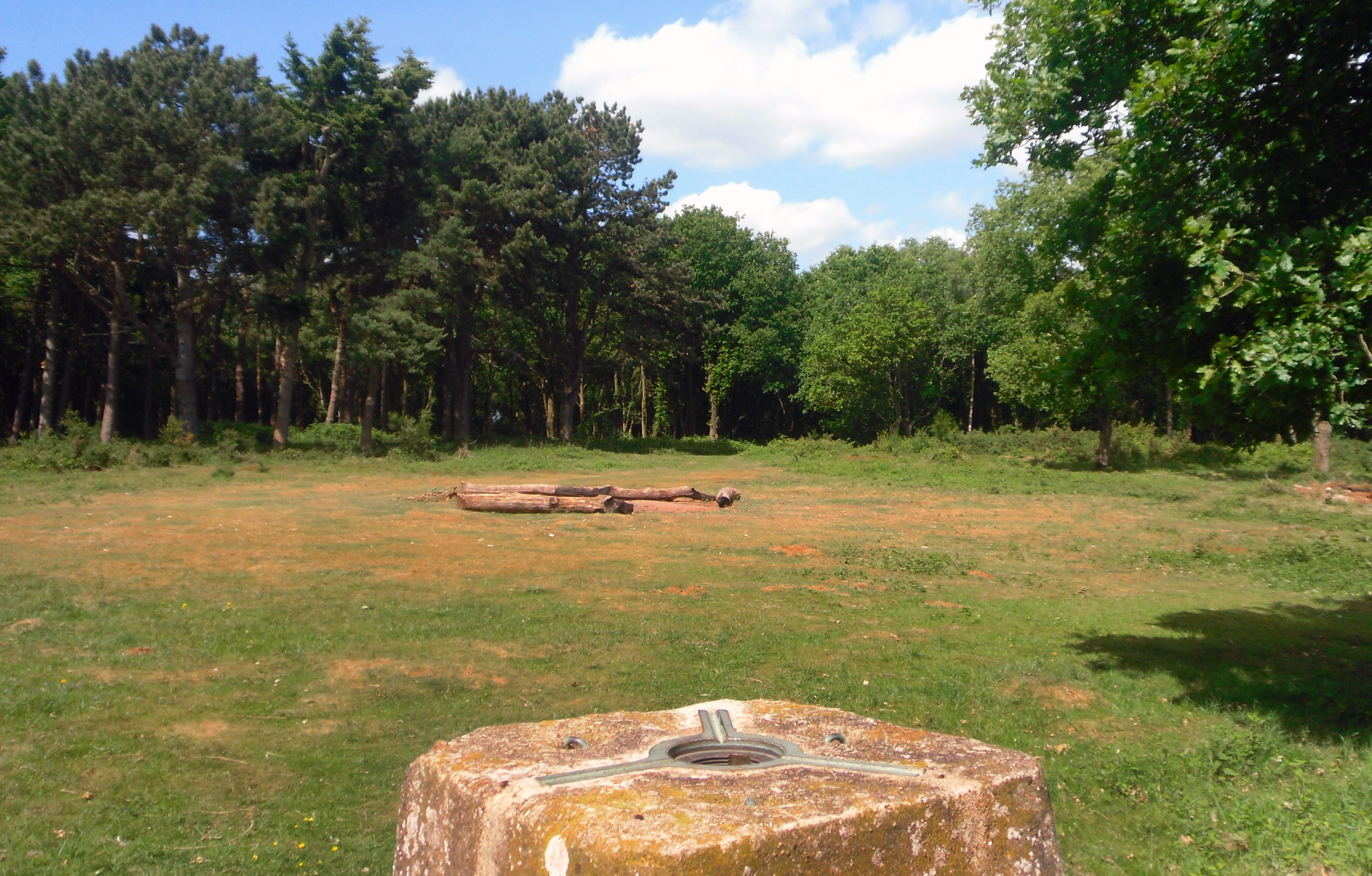
Cumnor Images

Images are sourced within 2km of 51.734735/-1.334912 or Grid Reference SP4604. Thanks to Geograph Open Source API. All images are credited.

Plaque dedicating bus shelter to Selby Tiptaft Cornish Inscription:
This shelter is erected in loving memory of Selby Tiptaft Cornish who was killed climbing on Ben Nevis July 9th 1948
The gift of God is eternal life through Jesus Christ our Lord
Romans 6:23
Plaque dedicating bus shelter to Selby Tiptaft Cornish
Inscription: This shelter is erected in loving memory of Selby Tiptaft Cornish who was killed climbing on Ben Nevis July 9th 1948 The gift of God is eternal life through Jesus Christ our Lord Romans 6:23
Rockley Cottages on Faringdon Road, Bessels Leigh
Faringdon Road, Bessels Leigh
Junction on Eaton Road Eaton is on Bablock Hyde Road on the right which stops at the Thames.
Junction on Eaton Road
Eaton is on Bablock Hyde Road on the right which stops at the Thames.
Field entrance by Eaton Road
Faringdon Road, Cumnor
Woodland in Bessels Leigh
The road from Bessels Leigh to Eaton Just entering Eaton
The road from Bessels Leigh to Eaton
Just entering Eaton
Piling Brook near Besselsleigh One of the many small watercourses which make up the flat catchment of the River Ock which joins the Thames at Abingdon.
Not named on the map, but I have heard this stream called the Piling Brook.
Piling Brook near Besselsleigh
One of the many small watercourses which make up the flat catchment of the River Ock which joins the Thames at Abingdon. Not named on the map, but I have heard this stream called the Piling Brook.
Looking down Tumbledown Road towards Farmoor Reservoir
Tumbledown Hill in Cumnor
Tumbledown Hill to Farmoor
Red Field on Hurst Hill The upper section of this field is covered with a flowering plant called Sheep's Sorrel (Rumex acetosella)
Apparently it is edible and has various medicinal properties too.
Here it is also a geological indicator. You see where it suddenly stops at the break of slope halfway down the field. This is where the Lower Greensand, which forms an acid soil cap at the top of Hurst Hill, gives way to the underlying limestone.
The lime intolerant gorse, centre left, also stops.
Red Field on Hurst Hill
The upper section of this field is covered with a flowering plant called Sheep's Sorrel (Rumex acetosella) Apparently it is edible and has various medicinal properties too. Here it is also a geological indicator. You see where it suddenly stops at the break of slope halfway down the field. This is where the Lower Greensand, which forms an acid soil cap at the top of Hurst Hill, gives way to the underlying limestone. The lime intolerant gorse, centre left, also stops.
Tree Stump Seats Quite a lot of trees have been taken out of the southern part of Hurst Hill Wood.
These stumps have been carved into chairs, a good place to sit and look out over the view to the south.
Tree Stump Seats
Quite a lot of trees have been taken out of the southern part of Hurst Hill Wood. These stumps have been carved into chairs, a good place to sit and look out over the view to the south.
Track on Cumnor Hill In the shallow dip between Hurst and Cumnor Hills.
Track on Cumnor Hill
In the shallow dip between Hurst and Cumnor Hills.
Gate to Hurst Hill A short walk through woodland takes you to the trig point and overlook on the  top of this small hill.
Gate to Hurst Hill
A short walk through woodland takes you to the trig point and overlook on the top of this small hill.
Top of Hurst Hill The top of the hill here is a sandy heathland sort of area due to a layer of Lower Greensand on top of the underlying limestone.
Top of the trig. pillar in the foreground.
Top of Hurst Hill
The top of the hill here is a sandy heathland sort of area due to a layer of Lower Greensand on top of the underlying limestone. Top of the trig. pillar in the foreground.
Denman's Farm, Cumnor
Show me another place!

Cumnor is located at Grid Ref: SP4604 (Lat: 51.734735, Lng: -1.334912)

Administrative County: Oxfordshire

District: Vale of White Horse

Police Authority: Thames Valley

What 3 Words

///fragment.appealing.swung. Near Eynsham, Oxfordshire

Nearby Locations

Cumnor

Related Wikis

Cumnor

Cumnor is a village and civil parish 3½ miles (5.6 km) west of the centre of Oxford, England. The village is about 2 miles (3.2 km) south-west of Botley...

Cumnor Hill

Cumnor Hill is a hill in the civil parish of Cumnor, to the west of (but not within) the city of Oxford, in the English county of Oxfordshire. In 1974...

Hurst Hill, Oxfordshire

Hurst Hill or Cumnor Hurst is a 20.6-hectare (51-acre) biological and geological Site of Special Scientific Interest west of Oxford in Oxfordshire. It...

Eaton, Oxfordshire

Eaton is a hamlet about 4+1⁄2 miles (7 km) west of Oxford and about 5 miles (8 km) northwest of Abingdon. Eaton is in the civil parish of Appleton-with...

Nearby Amenities

Located within 500m of 51.734735,-1.334912
Mini Roundabout
Direction: clockwise
Lat/Long: 51.7347778/-1.3348944
Cumnor
Is In: Oxfordshire, England, UK
Place: village
Source: NPE
Wikidata: Q2924106
Lat/Long: 51.7349255/-1.3331621
Turning Circle
Lat/Long: 51.7334617/-1.3286422
Turning Circle
Lat/Long: 51.7337637/-1.3293206
Turning Circle
Lat/Long: 51.7321781/-1.329441
Clinic
Cumnor Clinic
Healthcare: clinic
Lat/Long: 51.7342872/-1.3336362
Post Box
Collection Times: Mo-Fr 17:00; Sa 11:30
Post Box Type: pillar
Ref: OX2 543
Royal Cypher: EIIR
Source: photograph
Lat/Long: 51.7344389/-1.3335355
Old Phone: +44 1865 862101
Removed Amenity: telephone
Source: photograph
Lat/Long: 51.7346922/-1.334192
Historic: memorial
Memorial: war_memorial
Lat/Long: 51.7346308/-1.3346105
Shop: newsagent
Source: photograph
Lat/Long: 51.7346491/-1.3318638
Post Box
Collection Times: Mo-Fr 17:00; Sa 10:00
Ref: OX2 204
Source: photograph
Lat/Long: 51.7345593/-1.3314025
Barrier: stile
Source: photograph
Lat/Long: 51.73743/-1.329131
Old Phone: +44 1865 862146
Removed Amenity: telephone
Source: photograph
Lat/Long: 51.7321962/-1.3307696
Post Box
Collection Times: Mo-Fr 16:45; Sa 10:00
Post Box Type: lamp
Ref: OX2 693
Royal Cypher: EIIR
Source: photograph
Lat/Long: 51.7321407/-1.3307803
Turning Circle
Lat/Long: 51.7320546/-1.3338162
Turning Circle
Lat/Long: 51.732464/-1.3340112
Bus Stop
Glebe Road
Bench: yes
Bin: no
Bus: yes
Lit: yes
Local Ref: adj
Naptan AtcoCode: 340000247GR
Naptan Bearing: W
Naptan CommonName: Glebe Road
Naptan Indicator: High Street corner
Naptan Landmark: Glebe Road
Naptan NaptanCode: oxfajwat
Naptan PlusbusZoneRef: OXFD
Naptan Street: Oxford Road
Naptan Verified: no
Public Transport: platform
Shelter: yes
Source: naptan_import
Tactile Paving: no
Lat/Long: 51.7340784/-1.3288664
Bus Stop
Glebe Road
Bench: yes
Bin: yes
Bus: yes
Lit: no
Local Ref: opp
Naptan AtcoCode: 340000247OPP
Naptan Bearing: E
Naptan CommonName: Glebe Road
Naptan Indicator: Opposite
Naptan Landmark: Glebe Road
Naptan NaptanCode: oxfajtdw
Naptan PlusbusZoneRef: OXFD
Naptan Street: Oxford Road
Naptan Verified: no
Public Transport: platform
Shelter: yes
Source: naptan_import
Tactile Paving: no
Lat/Long: 51.7341696/-1.3290968
Bus Stop
The Bear and Ragged Staff
Bus: yes
Local Ref: opp
Naptan AtcoCode: 340001138OPP
Naptan Bearing: S
Naptan CommonName: The Bear and Ragged Staff
Naptan Indicator: Opposite
Naptan Landmark: The Bear and Ragged Staff
Naptan NaptanCode: oxfadadj
Naptan Street: Appleton Road
Naptan Verified: no
Public Transport: platform
Source: naptan_import
Lat/Long: 51.7338868/-1.336298
Bus Stop
The Bear and Ragged Staff
Bus: yes
Local Ref: o/s
Naptan AtcoCode: 340001138OUT
Naptan Bearing: N
Naptan BusStopType: CUS
Naptan CommonName: The Bear and Ragged Staff
Naptan Indicator: Outside
Naptan Landmark: The Bear and Ragged Staff
Naptan NaptanCode: oxfadatm
Naptan Street: Appleton Road
Naptan Verified: no
Public Transport: platform
Source: naptan_import
Lat/Long: 51.7339438/-1.3363669
Bus Stop
War Memorial
Bus: yes
Local Ref: o/s
Naptan AtcoCode: 340001139CEC
Naptan Bearing: NW
Naptan CommonName: High Street
Naptan Indicator: o/s War Memorial
Naptan Landmark: War Memorial
Naptan NaptanCode: oxfadagt
Naptan Street: High Street
Naptan Verified: no
Public Transport: platform
Source: naptan_import
Lat/Long: 51.7345402/-1.3341887
Bus Stop
War Memorial
Bus: yes
Local Ref: opp
Naptan AtcoCode: 340001139OPC
Naptan Bearing: SE
Naptan CommonName: High Street
Naptan Indicator: Opp War Memorial
Naptan Landmark: War Memorial
Naptan NaptanCode: oxfadaja
Naptan Street: High Street
Naptan Verified: no
Public Transport: platform
Source: naptan_import
Lat/Long: 51.7347037/-1.3344759
Bus Stop
Kenilworth Road
Bench: yes
Bin: yes
Bus: yes
Lit: yes
Local Ref: adj
Naptan AtcoCode: 340002009ABR
Naptan Bearing: N
Naptan CommonName: Kenilworth Road
Naptan Indicator: Corner
Naptan Landmark: Kenilworth Road
Naptan NaptanCode: oxfgjgdm
Naptan Street: Abingdon Road
Naptan Verified: no
Network: Oxford Bus, Stagecoach
Public Transport: platform
Shelter: yes
Source: naptan_import
Survey Date: 2021-08-07
Tactile Paving: no
Lat/Long: 51.7323225/-1.3307749
Bus Stop
Kenilworth Road
Bench: no
Bin: no
Bus: yes
Lit: no
Local Ref: opp
Naptan AtcoCode: 340002009OPP
Naptan Bearing: S
Naptan CommonName: Kenilworth Road
Naptan Indicator: Opposite
Naptan Landmark: Kenilworth Road
Naptan NaptanCode: oxfgjdwp
Naptan Street: Abingdon Road
Naptan Verified: no
Public Transport: platform
Shelter: no
Source: naptan_import
Tactile Paving: no
Lat/Long: 51.7322527/-1.3305739
Fixme: continue
Noexit: no
Lat/Long: 51.7315078/-1.339581
Michael Cain and Son
Shop: butcher
Lat/Long: 51.7346366/-1.3317626
Cumnor Village Shop
Addr City: Cumnor
Addr Housenumber: 7
Addr Postcode: OX2 9PE
Addr Street: High Street
Fhrs Id: 264285
Opening Hours: Mo-Sa 09:00-18:00
Phone: +44 1865 863 394
Shop: greengrocer
Twitter: https://twitter.com/cumnorstore
Lat/Long: 51.7344024/-1.333683
Post Office
Cumnor Post Office
Addr Housename: The Old School House
Addr Postcode: OX2 9PE
Brand: Post Office
Brand Wikidata: Q1783168
Opening Hours: Mo-Sa 09:00-18:00
Ref Pol Id: 1111
Website: https://www.postoffice.co.uk/branch-finder/0941379/cumnor
Lat/Long: 51.7343612/-1.3336872
Barrier: kissing_gate
Lat/Long: 51.7336618/-1.3303568
Barrier: stile
Lat/Long: 51.734124/-1.329863
Cumnor Garage
Shop: car_repair
Lat/Long: 51.7340984/-1.3364957
Barrier: stile
Lat/Long: 51.7344096/-1.330492
Defibrillator
Defibrillator Location: outside Cumnor "Old School Hall"
Emergency: defibrillator
Indoor: no
Lat/Long: 51.7344091/-1.333793
Defibrillator
Defibrillator Location: outside Cumnor Village Hall
Emergency: defibrillator
Indoor: no
Lat/Long: 51.7371807/-1.3381041
Defibrillator
Emergency: defibrillator
Lat/Long: 51.7326322/-1.340469
Bench
Lat/Long: 51.73471/-1.3343963
Entrance: yes
Lat/Long: 51.7371789/-1.3380687
The data included in this document is from www.openstreetmap.org. The data is made available under ODbL.

Have you been to Cumnor?

Leave your review of Cumnor below (or comments, questions and feedback).