Fishponds Plantation
Wood, Forest in Staffordshire East Staffordshire
England
Fishponds Plantation
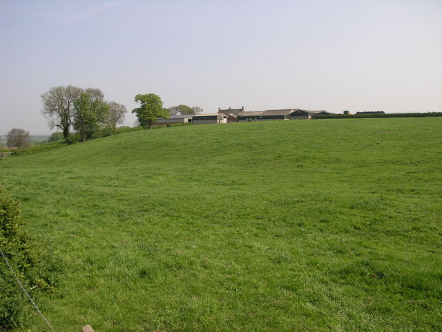
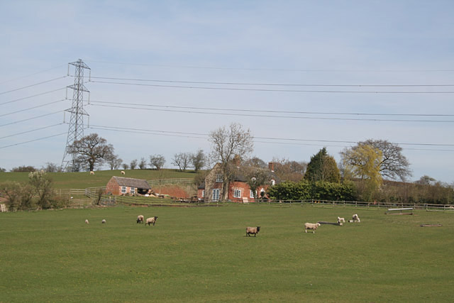
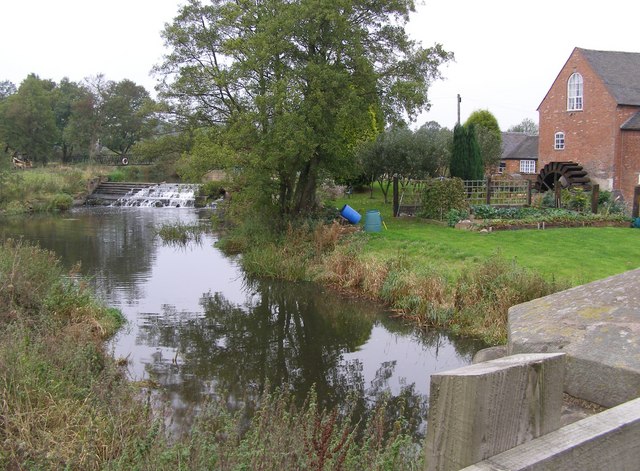
Fishponds Plantation is a lush woodland located in Staffordshire, England. Situated in the heart of the county, this picturesque forest covers an area of approximately 250 acres. The plantation gets its name from the numerous fishponds scattered across the landscape, which were historically used for fish farming.
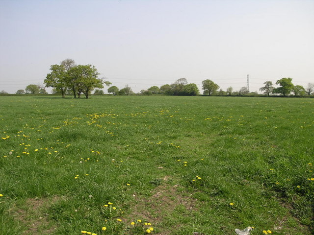
The woodland boasts a diverse range of tree species, including oak, birch, beech, and ash, creating a rich and vibrant ecosystem. These majestic trees provide a haven for a variety of wildlife, such as deer, squirrels, and a myriad of bird species. The thick canopy of foliage offers shelter and protection for these animals, making it an ideal habitat for them to thrive.
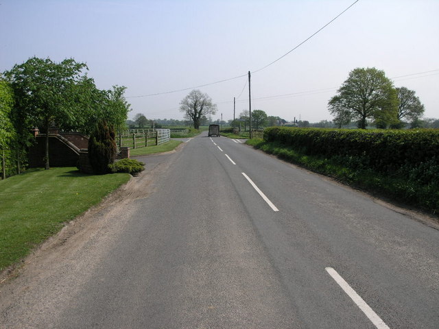
Fishponds Plantation has become a popular destination for nature enthusiasts and hikers alike. The forest is crisscrossed by numerous well-marked trails, allowing visitors to explore its beauty at their own pace. The paths wind their way through the woodland, offering breathtaking views of the surrounding countryside and the serene fishponds.
In addition to its natural appeal, Fishponds Plantation holds historical significance. The fishponds themselves are remnants of a bygone era when they were used to supply fish to the nearby medieval abbey. This historical connection adds an element of intrigue to the plantation, making it a fascinating place to explore for history buffs.
Overall, Fishponds Plantation is a tranquil and enchanting woodland, teeming with wildlife and steeped in history. Its beauty, combined with its accessibility, makes it a cherished destination for those seeking solace in nature and a glimpse into the past.
If you have any feedback on the listing, please let us know in the comments section below.
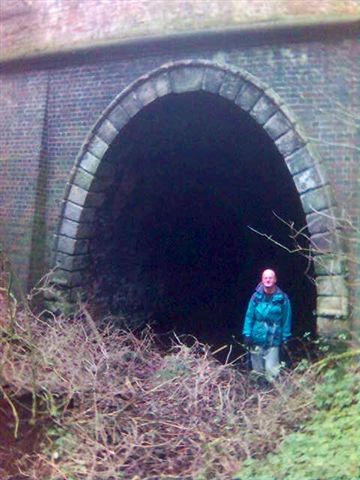
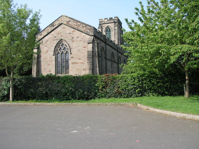
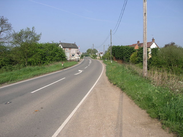
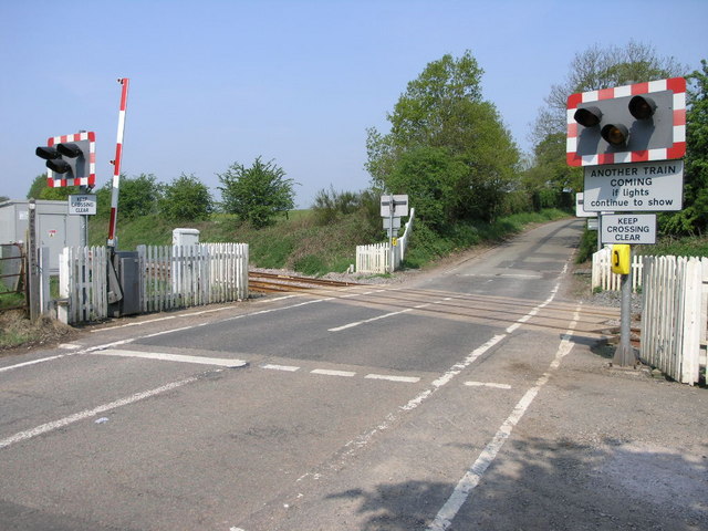
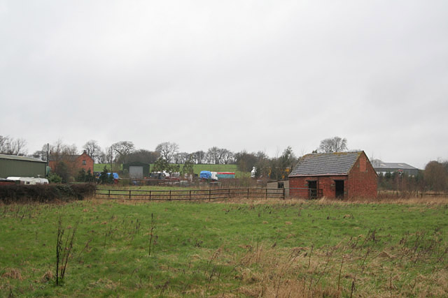
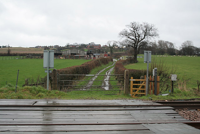
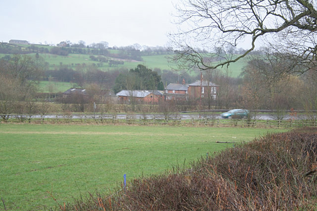
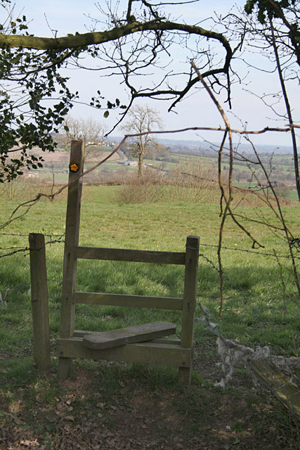
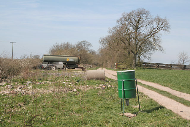
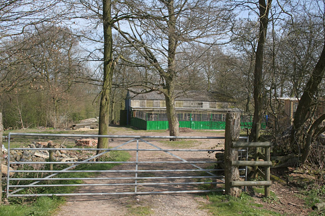
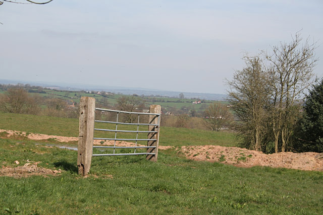
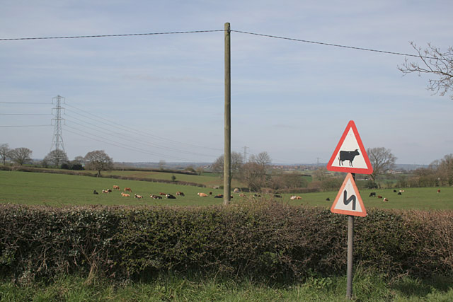
Fishponds Plantation Images
Images are sourced within 2km of 52.883351/-1.9140059 or Grid Reference SK0531. Thanks to Geograph Open Source API. All images are credited.
Fishponds Plantation is located at Grid Ref: SK0531 (Lat: 52.883351, Lng: -1.9140059)
Administrative County: Staffordshire
District: East Staffordshire
Police Authority: Staffordshire
What 3 Words
///port.rigs.groomed. Near Uttoxeter, Staffordshire
Nearby Locations
Related Wikis
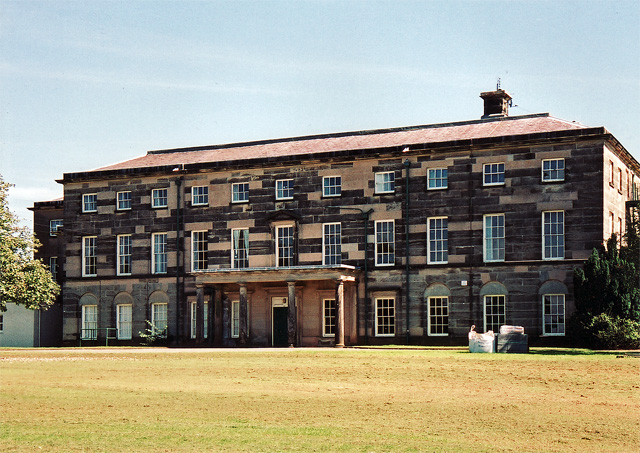
Loxley Hall
Loxley Hall is an early-19th-century country house near Uttoxeter, Staffordshire, now occupied by a Staffordshire County Council special school for boys...

Bromshall railway station
Bromshall railway station was a short lived railway station in Staffordshire, England. The railway line between Stoke-on-Trent and Uttoxeter was opened...

Bramshall
Bramshall is a village and former civil parish, now in the parish of Uttoxeter Rural, in the East Staffordshire district, in the county of Staffordshire...

Kingstone, Staffordshire
Kingstone is a village and civil parish within the English county of Staffordshire. == Population == The 2011 census recorded a population of 629 in 249...

Uttoxeter Rural
Uttoxeter Rural is a civil parish in the borough of East Staffordshire, Staffordshire, England, comprising the villages of Stramshall and Bramshall. It...

Gratwich
Gratwich is a village and former civil parish, now in the parish of Kingstone, in the East Staffordshire district, in the county of Staffordshire, England...
Uttoxeter Town F.C.
Uttoxeter Town F.C. is an English football club based in Uttoxeter, Staffordshire. They currently play in the North West Counties League Division One...

Grindley railway station
Grindley railway station was a former British railway station to serve the village of Grindley in Staffordshire. It was opened by the Stafford and Uttoxeter...
Nearby Amenities
Located within 500m of 52.883351,-1.9140059Have you been to Fishponds Plantation?
Leave your review of Fishponds Plantation below (or comments, questions and feedback).