Stockings Wood
Wood, Forest in Staffordshire East Staffordshire
England
Stockings Wood
Stockings Wood is a picturesque forest located in Staffordshire, England. Spanning over a vast area, it is renowned for its natural beauty and serene atmosphere. The wood is an ancient woodland, boasting a rich history that dates back centuries.
The forest is predominantly composed of deciduous trees, including oak, beech, and birch, which provide a stunning display of colors during the autumn months. The diverse flora and fauna found in Stockings Wood make it a haven for nature enthusiasts and wildlife lovers alike. Visitors can expect to spot a variety of bird species, such as woodpeckers and owls, as well as small mammals like squirrels and rabbits.
The wood offers a range of well-maintained walking trails, allowing visitors to explore its hidden treasures. The paths wind through serene glades and meandering streams, providing a tranquil escape from the bustle of everyday life. The wood is also home to several picnic areas, where families can enjoy a leisurely lunch amidst the beauty of nature.
Stockings Wood is a protected area, managed by local authorities to preserve its natural habitat. Conservation efforts have been implemented to maintain the wood's ecological balance, ensuring the survival of its unique plant and animal species.
Overall, Stockings Wood is a magical destination for those seeking solace in nature. Its tranquil ambiance and breathtaking scenery make it a must-visit location for anyone in search of a peaceful retreat in the heart of Staffordshire.
If you have any feedback on the listing, please let us know in the comments section below.
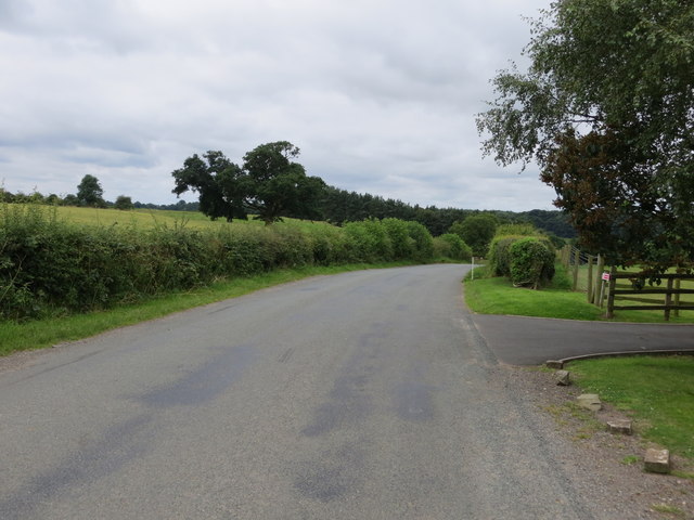
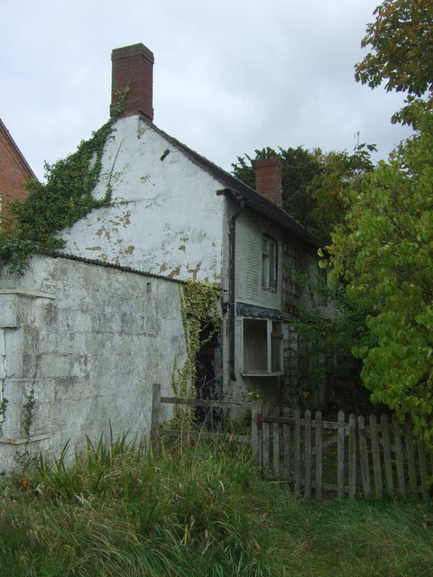
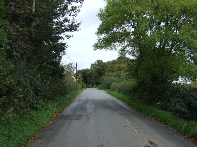
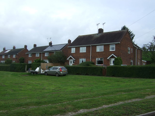
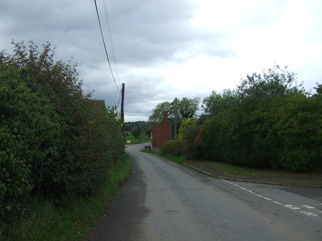
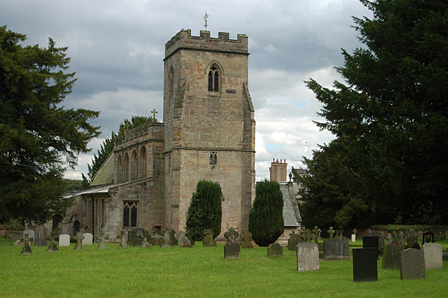
Stockings Wood Images
Images are sourced within 2km of 52.842935/-1.91413 or Grid Reference SK0527. Thanks to Geograph Open Source API. All images are credited.


Stockings Wood is located at Grid Ref: SK0527 (Lat: 52.842935, Lng: -1.91413)
Administrative County: Staffordshire
District: East Staffordshire
Police Authority: Staffordshire
What 3 Words
///hedge.overlooks.fruits. Near Abbots Bromley, Staffordshire
Nearby Locations
Related Wikis

Bagot's Wood
Bagot's Wood is the largest extant piece of the ancient Needwood Forest, located near to Abbots Bromley, in Staffordshire, England. The forest derives...

Kingstone, Staffordshire
Kingstone is a village and civil parish within the English county of Staffordshire. == Population == The 2011 census recorded a population of 629 in 249...

RAF Abbots Bromley
RAF Abbots Bromley is a former Royal Air Force Relief Landing Ground (RLG) located 0.7 miles (1.1 km) north-west of the village of Abbots Bromley, Staffordshire...

Grindley railway station
Grindley railway station was a former British railway station to serve the village of Grindley in Staffordshire. It was opened by the Stafford and Uttoxeter...

Chartley Moss
Chartley Moss is a 105.80 hectare biological Site of Special Scientific Interest in Staffordshire, notified in 1987. The area has been designated as an...

Abbots Bromley
Abbots Bromley is a village and civil parish in the East Staffordshire district of Staffordshire and lies approximately 9.8 miles (15.8 km) east of Stafford...
Blithfield
Blithfield is a civil parish in the East Staffordshire district of Staffordshire, England. It includes the settlements of Admaston (a small hamlet in Staffordshire...

Blithfield Hall
Blithfield Hall (pronounced locally as Bliffield), is a privately owned Grade I listed country house in Staffordshire, England, situated some 9 miles...
Nearby Amenities
Located within 500m of 52.842935,-1.91413Have you been to Stockings Wood?
Leave your review of Stockings Wood below (or comments, questions and feedback).