Park Covert
Wood, Forest in Staffordshire East Staffordshire
England
Park Covert
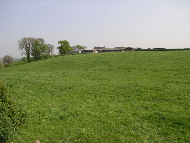
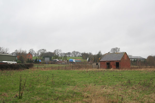
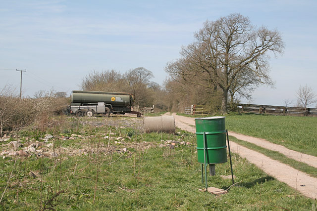
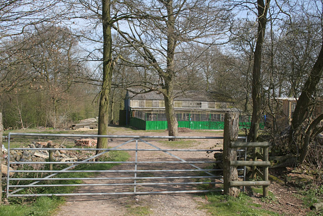
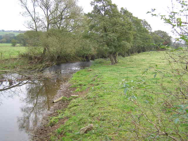
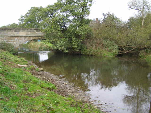
Park Covert is a picturesque woodland located in Staffordshire, England. Nestled in the heart of the county, this enchanting forest covers an area of approximately 100 acres. It is a haven for nature enthusiasts and those seeking tranquility amidst the bustling city life.
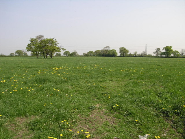
The woodland is characterized by its dense canopy of trees, predominantly composed of oak, beech, and birch. These towering trees create a sheltered and serene atmosphere, making it an ideal location for leisurely walks and peaceful picnics. The forest floor is adorned with a rich carpet of wildflowers, adding to the beauty of the surroundings.
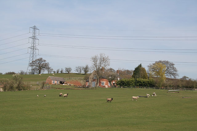
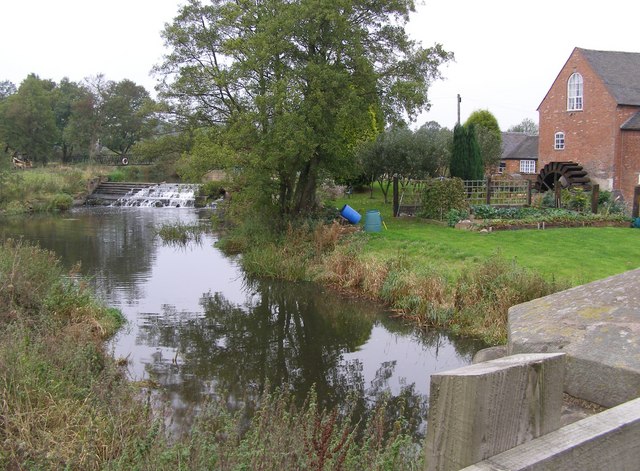
Park Covert is home to a diverse range of wildlife, making it a popular spot for birdwatchers and animal lovers. Visitors may be lucky enough to spot species such as woodpeckers, owls, and deer. The forest also boasts a small pond, attracting various species of waterfowl.
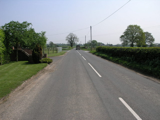
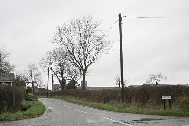
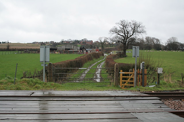
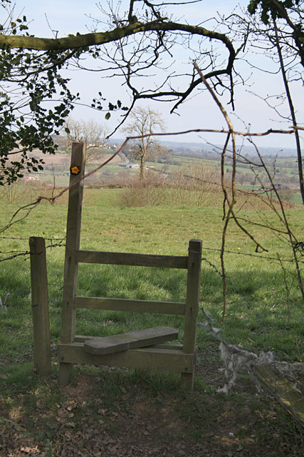
Several well-maintained footpaths wind their way through the woodland, providing visitors with the opportunity to explore its natural wonders at their own pace. The paths are clearly marked and accessible, making it suitable for people of all ages and abilities.
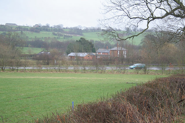
The woodland is open to the public throughout the year, offering visitors a chance to experience the changing seasons in all their glory. In spring, the forest bursts into life with vibrant blossoms and the cheerful chirping of birds. In autumn, the trees transform into a kaleidoscope of red, orange, and gold, creating a stunning display of nature's beauty.
Overall, Park Covert is a hidden gem in Staffordshire, offering a peaceful retreat for nature lovers and a chance to reconnect with the great outdoors.
If you have any feedback on the listing, please let us know in the comments section below.
Park Covert Images
Images are sourced within 2km of 52.878858/-1.9169568 or Grid Reference SK0531. Thanks to Geograph Open Source API. All images are credited.
Park Covert is located at Grid Ref: SK0531 (Lat: 52.878858, Lng: -1.9169568)
Administrative County: Staffordshire
District: East Staffordshire
Police Authority: Staffordshire
What 3 Words
///partners.settle.districts. Near Uttoxeter, Staffordshire
Nearby Locations
Related Wikis
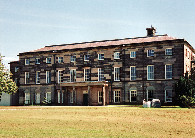
Loxley Hall
Loxley Hall is an early-19th-century country house near Uttoxeter, Staffordshire, now occupied by a Staffordshire County Council special school for boys...

Kingstone, Staffordshire
Kingstone is a village and civil parish within the English county of Staffordshire. == Population == The 2011 census recorded a population of 629 in 249...

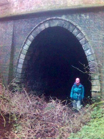
Bromshall railway station
Bromshall railway station was a short lived railway station in Staffordshire, England. The railway line between Stoke-on-Trent and Uttoxeter was opened...

Bramshall
Bramshall is a village and former civil parish, now in the parish of Uttoxeter Rural, in the East Staffordshire district, in the county of Staffordshire...

Grindley railway station
Grindley railway station was a former British railway station to serve the village of Grindley in Staffordshire. It was opened by the Stafford and Uttoxeter...

Gratwich
Gratwich is a village and former civil parish, now in the parish of Kingstone, in the East Staffordshire district, in the county of Staffordshire, England...

Uttoxeter Rural
Uttoxeter Rural is a civil parish in the borough of East Staffordshire, Staffordshire, England, comprising the villages of Stramshall and Bramshall. It...
Uttoxeter Town F.C.
Uttoxeter Town F.C. is an English football club based in Uttoxeter, Staffordshire. They currently play in the North West Counties League Division One...
Have you been to Park Covert?
Leave your review of Park Covert below (or comments, questions and feedback).