Lower Loxley
Settlement in Staffordshire East Staffordshire
England
Lower Loxley
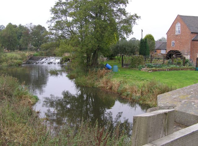
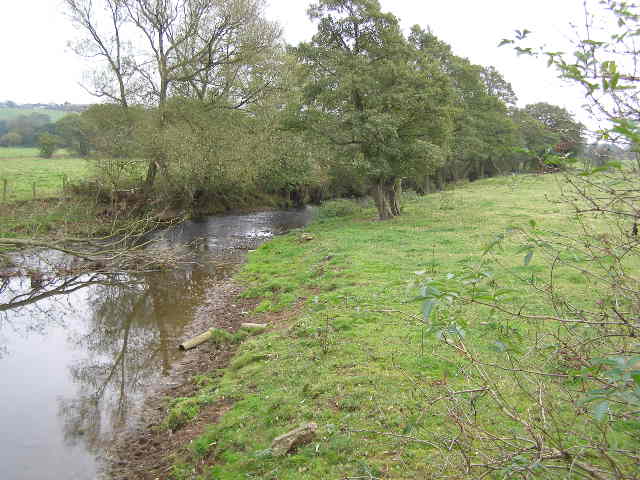
Lower Loxley is a charming village located in the county of Staffordshire, England. Situated in the picturesque countryside, it is nestled on the eastern edge of the Cannock Chase Area of Outstanding Natural Beauty. The village is known for its idyllic setting, characterized by rolling hills, lush green pastures, and scenic woodlands.
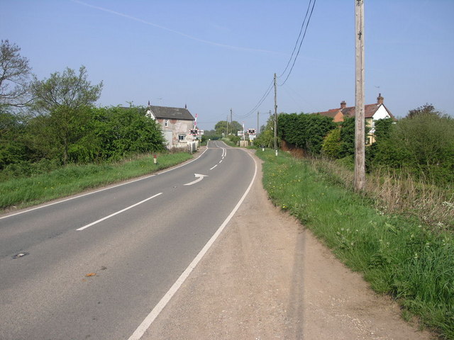
With a population of around 1,500 residents, Lower Loxley maintains a close-knit and friendly community. The village is well-connected to surrounding areas, being conveniently positioned near the A51 road, which provides easy access to nearby towns and cities.
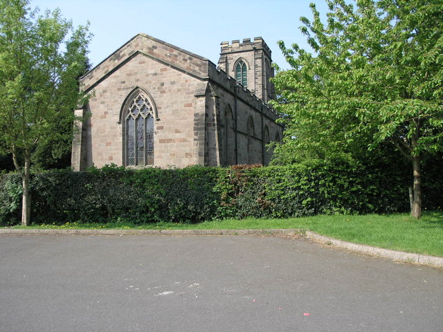
Lower Loxley boasts a rich history, with evidence of settlement dating back to the Iron Age. Throughout the village, visitors can find remnants of ancient structures and landmarks, such as the historic St. Michael's Church, which dates back to the 12th century.
The village offers a range of amenities and facilities to cater to the needs of its residents. These include a village hall, a primary school, and a local pub, serving as a hub for social gatherings and community events.
For outdoor enthusiasts, Lower Loxley provides ample opportunities for leisure activities. The surrounding natural beauty offers picturesque walking and cycling routes, allowing visitors to explore the stunning countryside. Additionally, the nearby Cannock Chase Forest offers various recreational activities, such as hiking, horse riding, and wildlife spotting.
In summary, Lower Loxley is a charming village in Staffordshire that offers a tranquil and scenic setting, a rich history, and a strong sense of community, making it an appealing destination for both residents and visitors alike.
If you have any feedback on the listing, please let us know in the comments section below.
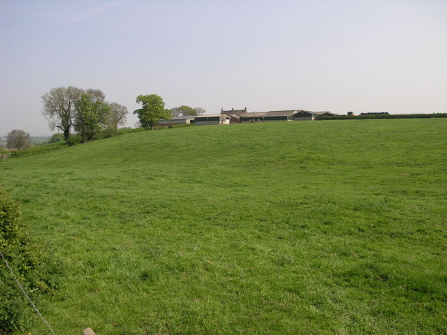
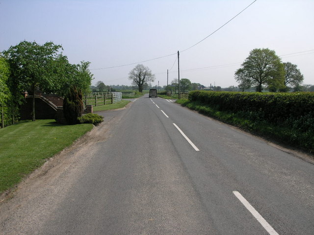
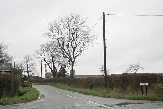
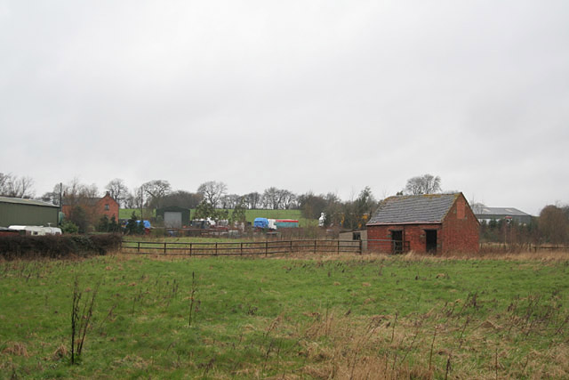
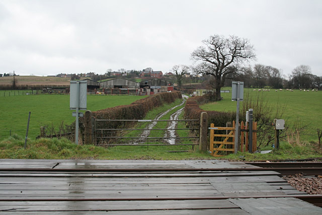
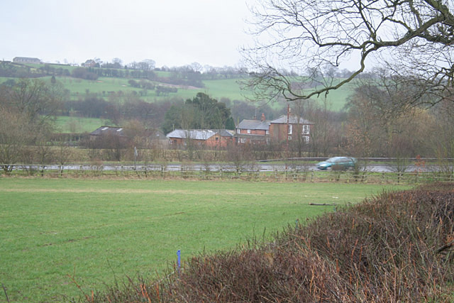
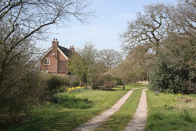
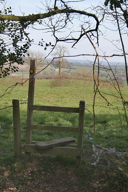
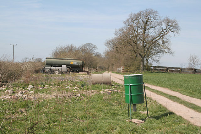
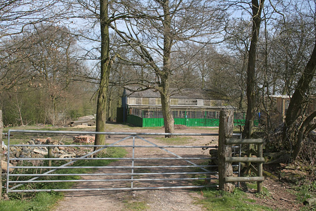
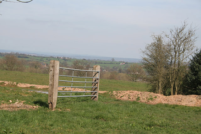
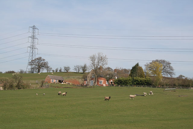
Lower Loxley Images
Images are sourced within 2km of 52.883446/-1.9215102 or Grid Reference SK0531. Thanks to Geograph Open Source API. All images are credited.
Lower Loxley is located at Grid Ref: SK0531 (Lat: 52.883446, Lng: -1.9215102)
Administrative County: Staffordshire
District: East Staffordshire
Police Authority: Staffordshire
What 3 Words
///obligated.saunas.brief. Near Uttoxeter, Staffordshire
Nearby Locations
Related Wikis
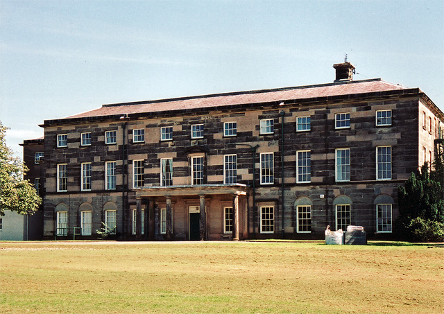
Loxley Hall
Loxley Hall is an early-19th-century country house near Uttoxeter, Staffordshire, now occupied by a Staffordshire County Council special school for boys...

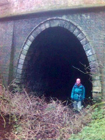
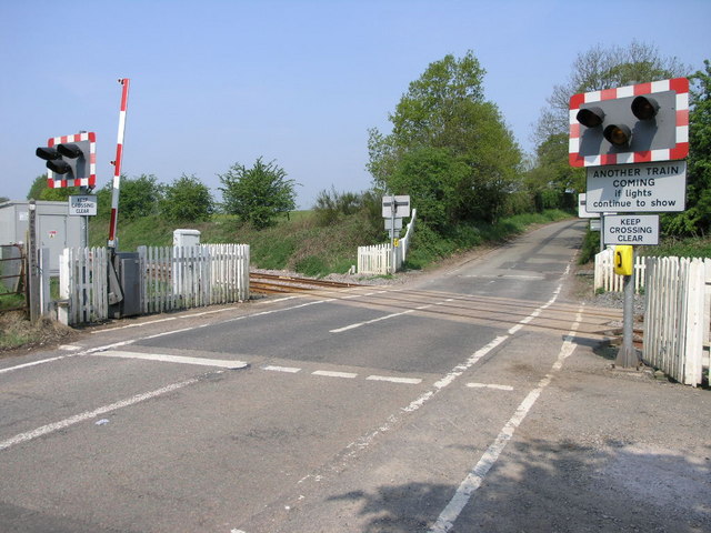
Bromshall railway station
Bromshall railway station was a short lived railway station in Staffordshire, England. The railway line between Stoke-on-Trent and Uttoxeter was opened...

Bramshall
Bramshall is a village and former civil parish, now in the parish of Uttoxeter Rural, in the East Staffordshire district, in the county of Staffordshire...

Kingstone, Staffordshire
Kingstone is a village and civil parish within the English county of Staffordshire. == Population == The 2011 census recorded a population of 629 in 249...

Uttoxeter Rural
Uttoxeter Rural is a civil parish in the borough of East Staffordshire, Staffordshire, England, comprising the villages of Stramshall and Bramshall. It...

Gratwich
Gratwich is a village and former civil parish, now in the parish of Kingstone, in the East Staffordshire district, in the county of Staffordshire, England...

Grindley railway station
Grindley railway station was a former British railway station to serve the village of Grindley in Staffordshire. It was opened by the Stafford and Uttoxeter...
Uttoxeter Town F.C.
Uttoxeter Town F.C. is an English football club based in Uttoxeter, Staffordshire. They currently play in the North West Counties League Division One...
Nearby Amenities
Located within 500m of 52.883446,-1.9215102Have you been to Lower Loxley?
Leave your review of Lower Loxley below (or comments, questions and feedback).