Ford Road Coppice

Wood, Forest in Gloucestershire Tewkesbury

England

Ford Road Coppice

Track down to Hailes Abbey This route from Farmcote must once have been used by the monks of Hailes Abbey. It now hosts part of the Cotswold Way. Most of the descent is under trees with minimal view.
Track down to Hailes Abbey Credit: Bill Boaden

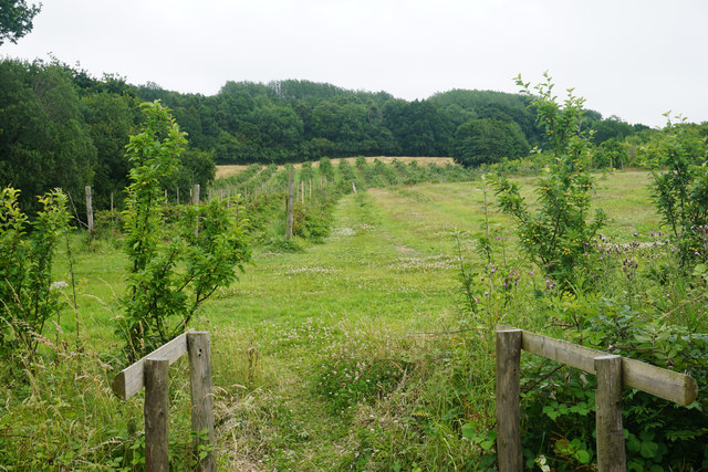
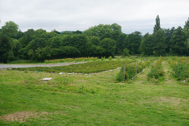
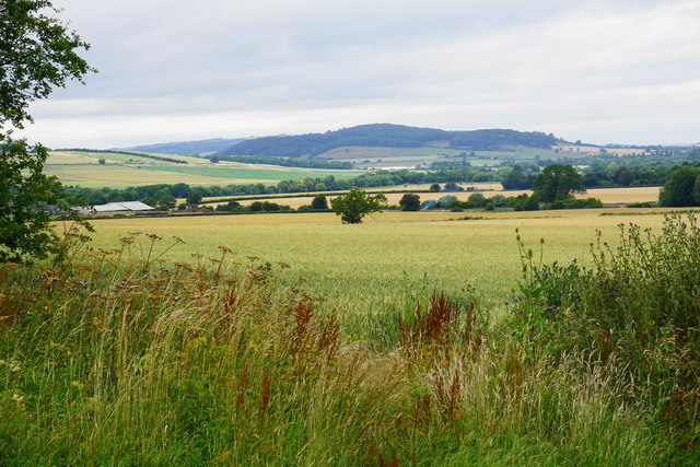
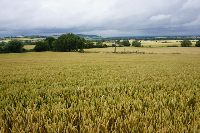
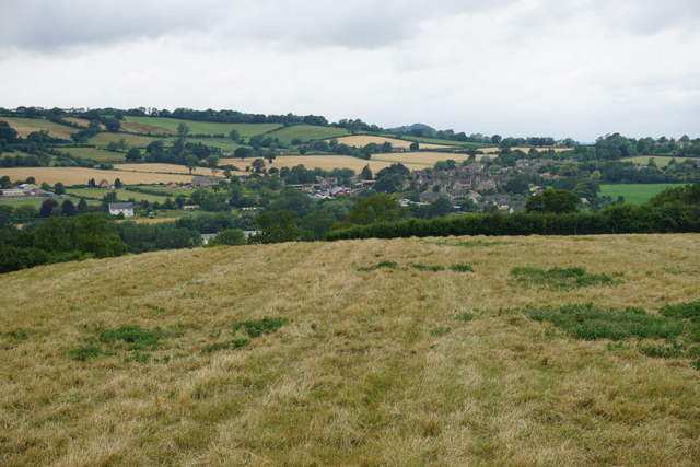
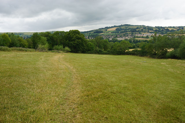
Ford Road Coppice is a picturesque woodland located in Gloucestershire, England. Spanning an area of approximately 20 acres, it is a well-preserved and biodiverse forest that attracts nature enthusiasts and hikers alike.

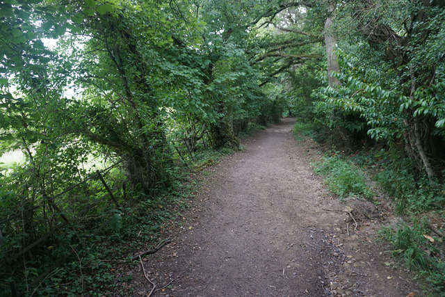
The coppice is primarily composed of native broadleaf trees, including oak, ash, and beech, creating a dense canopy that provides shade and shelter for a variety of wildlife. The forest floor is covered in a carpet of ferns, bluebells, and wildflowers during the spring and summer months, providing a vibrant and colorful display.

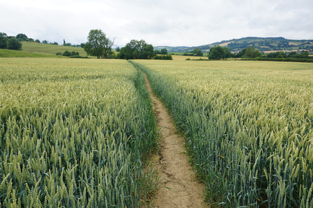
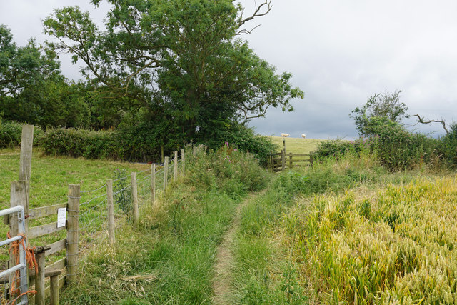
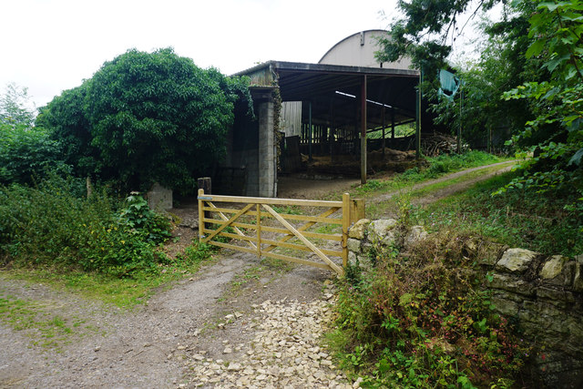
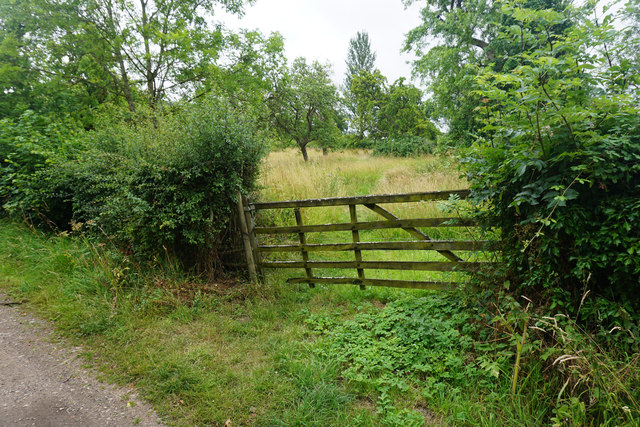
The woodland is crisscrossed by a network of winding footpaths, allowing visitors to explore its beauty at their own pace. These paths lead to secluded clearings and tranquil spots where one can sit and enjoy the peaceful atmosphere. Additionally, the coppice is intersected by Ford Road, a quiet country lane that adds to the charm of the area.

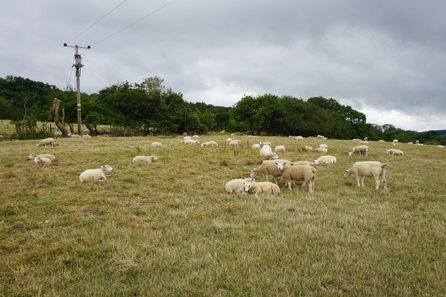
The forest is teeming with wildlife, making it an ideal destination for birdwatchers and nature photographers. Visitors may spot a variety of bird species, including woodpeckers, owls, and various songbirds. Squirrels, rabbits, and deer are also commonly seen within the woodland, adding to its enchanting ambiance.

Ford Road Coppice is managed by local conservation organizations that work to preserve its natural beauty and protect its inhabitants. The woodland is open to the public year-round and offers a serene escape from the hustle and bustle of everyday life. Whether exploring the forest's intricate trails or simply enjoying the tranquility of its surroundings, Ford Road Coppice is a hidden gem in Gloucestershire's natural landscape.

If you have any feedback on the listing, please let us know in the comments section below.

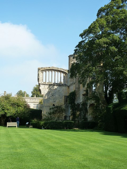
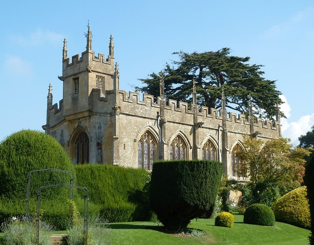
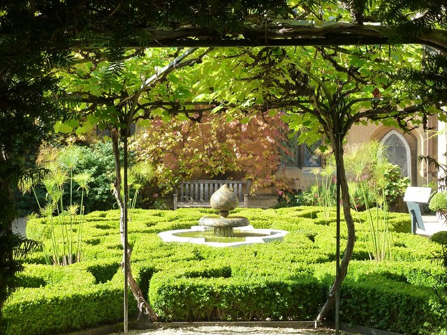
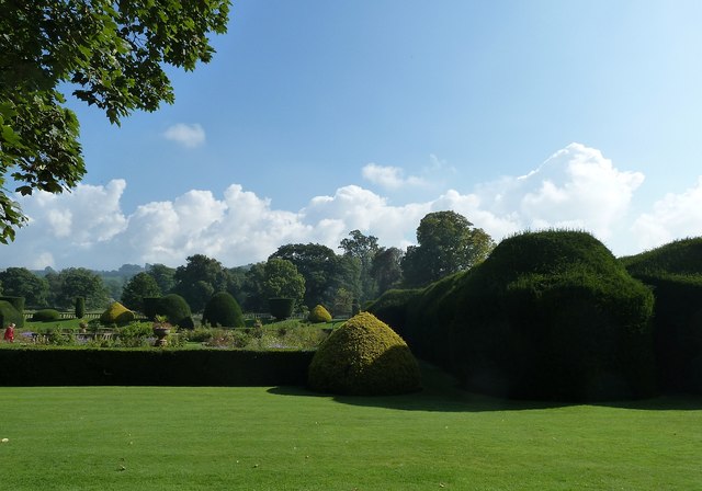
Ford Road Coppice Images

Images are sourced within 2km of 51.949592/-1.9308131 or Grid Reference SP0427. Thanks to Geograph Open Source API. All images are credited.

Track down to Hailes Abbey This route from Farmcote must once have been used by the monks of Hailes Abbey. It now hosts part of the Cotswold Way. Most of the descent is under trees with minimal view.
Track down to Hailes Abbey
This route from Farmcote must once have been used by the monks of Hailes Abbey. It now hosts part of the Cotswold Way. Most of the descent is under trees with minimal view.
Fruit trees at Hayles Fruit Farm The different spelling to the name of the nearby abbey is correct.
Fruit trees at Hayles Fruit Farm
The different spelling to the name of the nearby abbey is correct.
Self pick area at Hayles Fruit Farm A wide variety of fruit is available.
Self pick area at Hayles Fruit Farm
A wide variety of fruit is available.
Path through a wheat field Heading towards Winchcombe which can just be seen ahead at the foot of  Langley Hill.
Path through a wheat field
Heading towards Winchcombe which can just be seen ahead at the foot of Langley Hill.
Fields above Hailes The gentle slope rises up from the valley of the River Isbourne.
Fields above Hailes
The gentle slope rises up from the valley of the River Isbourne.
Wheat fields and heavy clouds Rain is on the way over the valley of the Isbourne.
Wheat fields and heavy clouds
Rain is on the way over the valley of the Isbourne.
Meeting of paths and fields This is the corner of a field of wheat, and it adjoins other fields for sheep and cattle grazing.
Meeting of paths and fields
This is the corner of a field of wheat, and it adjoins other fields for sheep and cattle grazing.
Sheep near Winchcombe The older ones have been recently shorn.
Sheep near Winchcombe
The older ones have been recently shorn.
Field above Greet There are sheep in this field but they have all congregated in another part of it. From here you can see the village of Greet and Winchcombe railway station.
Field above Greet
There are sheep in this field but they have all congregated in another part of it. From here you can see the village of Greet and Winchcombe railway station.
Path towards Winchcombe Winchcombe can be seen ahead. The path will meet the top of Puck Pit Lane in the trees at the other side of the field.
Path towards Winchcombe
Winchcombe can be seen ahead. The path will meet the top of Puck Pit Lane in the trees at the other side of the field.
Orchards Farm On this side of the lane is just a collection of barns.
Orchards Farm
On this side of the lane is just a collection of barns.
Field given over to woodland near Orchards Farm
Sudeley Castle - Ruins of banqueting hall Looking across the lawn which centuries ago would have been the floor of the great hall that once stood here. The romantic ruins of the northeastern corner of this former building still stand giving an idea of its original height.
Sudeley Castle - Ruins of banqueting hall
Looking across the lawn which centuries ago would have been the floor of the great hall that once stood here. The romantic ruins of the northeastern corner of this former building still stand giving an idea of its original height.
Sudeley Castle - St Mary's church Originally a private chapel built by Ralph Boteler in the mid C15th, this little church in the grounds of Sudeley Castle fell into ruin after the depredations of the English Civil War and the damage inflicted upon it by Cromwell's troops.
In the C18th a tomb was discovered bearing an inscription revealing that it belonged to Katherine Parr - the last of Henry VIII's six wives. 
The church was restored by the Dent family in the mid C19th, and Katherine's body now lies within a fine monument within this church. (see <a href="https://www.geograph.org.uk/photo/4678430">SP0327 : Sudeley - Tomb of Katherine Parr (1512-1548)</a>)
Sudeley Castle - St Mary's church
Originally a private chapel built by Ralph Boteler in the mid C15th, this little church in the grounds of Sudeley Castle fell into ruin after the depredations of the English Civil War and the damage inflicted upon it by Cromwell's troops. In the C18th a tomb was discovered bearing an inscription revealing that it belonged to Katherine Parr - the last of Henry VIII's six wives. The church was restored by the Dent family in the mid C19th, and Katherine's body now lies within a fine monument within this church. (see SP0327 : Sudeley - Tomb of Katherine Parr (1512-1548))
Sudeley - Tomb of Katherine Parr (1512-1548) Katherine (or Catherine, Kathryn, Kathryne etc.) Parr was born in 1512 most likely in Blackfriars, London rather than at her family's ancestral home in Westmorland.
In 1543 she became the sixth and final wife of the by-then decrepit and obese Henry VIII. This was her third marriage, her two former husbands Sir Edward Burgh and John Neville, Lord Latimer both having died.
Katherine was apparently a very effective Queen Consort, proficiently acting as Regent in Henry's absence. When Henry died in 1547 she had hoped and expected to be named as Regent and advisor to the young Edward VI, however the quixotic Henry had made other arrangements and Katherine was sidelined.
Katherine moved to Sudeley and married the man she had long desired, Thomas Seymour. Her new husband was ambitious and rash, and no doubt considered his marriage to Katherine as a fine political move. 
Sadly, Katherine died within a year, soon after giving birth to a daughter - this daughter has mysteriously vanished from History and no-one knows her fate, though it is believed that she survived infancy at least.
Thomas Seymour, with a female heir and a dead wife, left Sudeley, never to return, not even for his wife's funeral.
Katherine was interred in the private chapel - or small church - on the estate. During the Civil War in the mid C17th the church was damaged by Cromwell's troops and eventually became ruinous. Katherine's tomb was effectively lost and forgotten.
It was not until the mid C18th that two ladies visiting the romantic ruins of the castle, looked in on the remains of the church and noticed a carved stone. They requested that this be investigated and soon a tomb was rediscovered with a plaque on it stating it belonged to the Queen of England, Katherine Parr.
On opening the lead sarcophagus, Katherine was found to be almost perfectly preserved. However once air got into the coffin, decay commenced and by the time of her reburial in the mid C19th, her body had become little more than dust and bones. 
She was re-interred in the fine tomb which can be found in the church today, with an effigy by J.B. Philip resting on a marble chest tomb.
To see the church <a href="https://www.geograph.org.uk/photo/4678400">SP0327 : Sudeley Castle - St Mary's church</a>
Sudeley - Tomb of Katherine Parr (1512-1548)
Katherine (or Catherine, Kathryn, Kathryne etc.) Parr was born in 1512 most likely in Blackfriars, London rather than at her family's ancestral home in Westmorland. In 1543 she became the sixth and final wife of the by-then decrepit and obese Henry VIII. This was her third marriage, her two former husbands Sir Edward Burgh and John Neville, Lord Latimer both having died. Katherine was apparently a very effective Queen Consort, proficiently acting as Regent in Henry's absence. When Henry died in 1547 she had hoped and expected to be named as Regent and advisor to the young Edward VI, however the quixotic Henry had made other arrangements and Katherine was sidelined. Katherine moved to Sudeley and married the man she had long desired, Thomas Seymour. Her new husband was ambitious and rash, and no doubt considered his marriage to Katherine as a fine political move. Sadly, Katherine died within a year, soon after giving birth to a daughter - this daughter has mysteriously vanished from History and no-one knows her fate, though it is believed that she survived infancy at least. Thomas Seymour, with a female heir and a dead wife, left Sudeley, never to return, not even for his wife's funeral. Katherine was interred in the private chapel - or small church - on the estate. During the Civil War in the mid C17th the church was damaged by Cromwell's troops and eventually became ruinous. Katherine's tomb was effectively lost and forgotten. It was not until the mid C18th that two ladies visiting the romantic ruins of the castle, looked in on the remains of the church and noticed a carved stone. They requested that this be investigated and soon a tomb was rediscovered with a plaque on it stating it belonged to the Queen of England, Katherine Parr. On opening the lead sarcophagus, Katherine was found to be almost perfectly preserved. However once air got into the coffin, decay commenced and by the time of her reburial in the mid C19th, her body had become little more than dust and bones. She was re-interred in the fine tomb which can be found in the church today, with an effigy by J.B. Philip resting on a marble chest tomb. To see the church SP0327 : Sudeley Castle - St Mary's church
Sudeley Castle - Knot Garden - looking east A view of the Knot Garden within a quadrangular internal courtyard of Sudeley Castle. This view is looking eastwards. See also the view from under the arbor (seen ahead) looking westwards <a href="https://www.geograph.org.uk/photo/4678443">SP0327 : Sudeley Castle - Knot Garden - looking westwards</a>
Sudeley Castle - Knot Garden - looking east
A view of the Knot Garden within a quadrangular internal courtyard of Sudeley Castle. This view is looking eastwards. See also the view from under the arbor (seen ahead) looking westwards SP0327 : Sudeley Castle - Knot Garden - looking westwards
Sudeley Castle - Knot Garden - looking westwards The complementary view to <a href="https://www.geograph.org.uk/photo/4678442">SP0327 : Sudeley Castle - Knot Garden - looking east</a> looking westwards across the Knot Garden at Sudeley from beneath the arbor on the eastern side of the quadrangle.
Sudeley Castle - Knot Garden - looking westwards
The complementary view to SP0327 : Sudeley Castle - Knot Garden - looking east looking westwards across the Knot Garden at Sudeley from beneath the arbor on the eastern side of the quadrangle.
Sudeley Castle - Gardens A view over the immaculately tended gardens at Sudeley Castle.
Sudeley Castle - Gardens
A view over the immaculately tended gardens at Sudeley Castle.
Show me another place!

Ford Road Coppice is located at Grid Ref: SP0427 (Lat: 51.949592, Lng: -1.9308131)

Administrative County: Gloucestershire

District: Tewkesbury

Police Authority: Gloucestershire

What 3 Words

///mocking.suitably.waddle. Near Winchcombe, Gloucestershire

Related Wikis

Farmcote Grange

Farmcote Grange was a medieval monastic grange at Farmcote in Gloucestershire, England. It was a grange of Hailes Abbey. == References ==
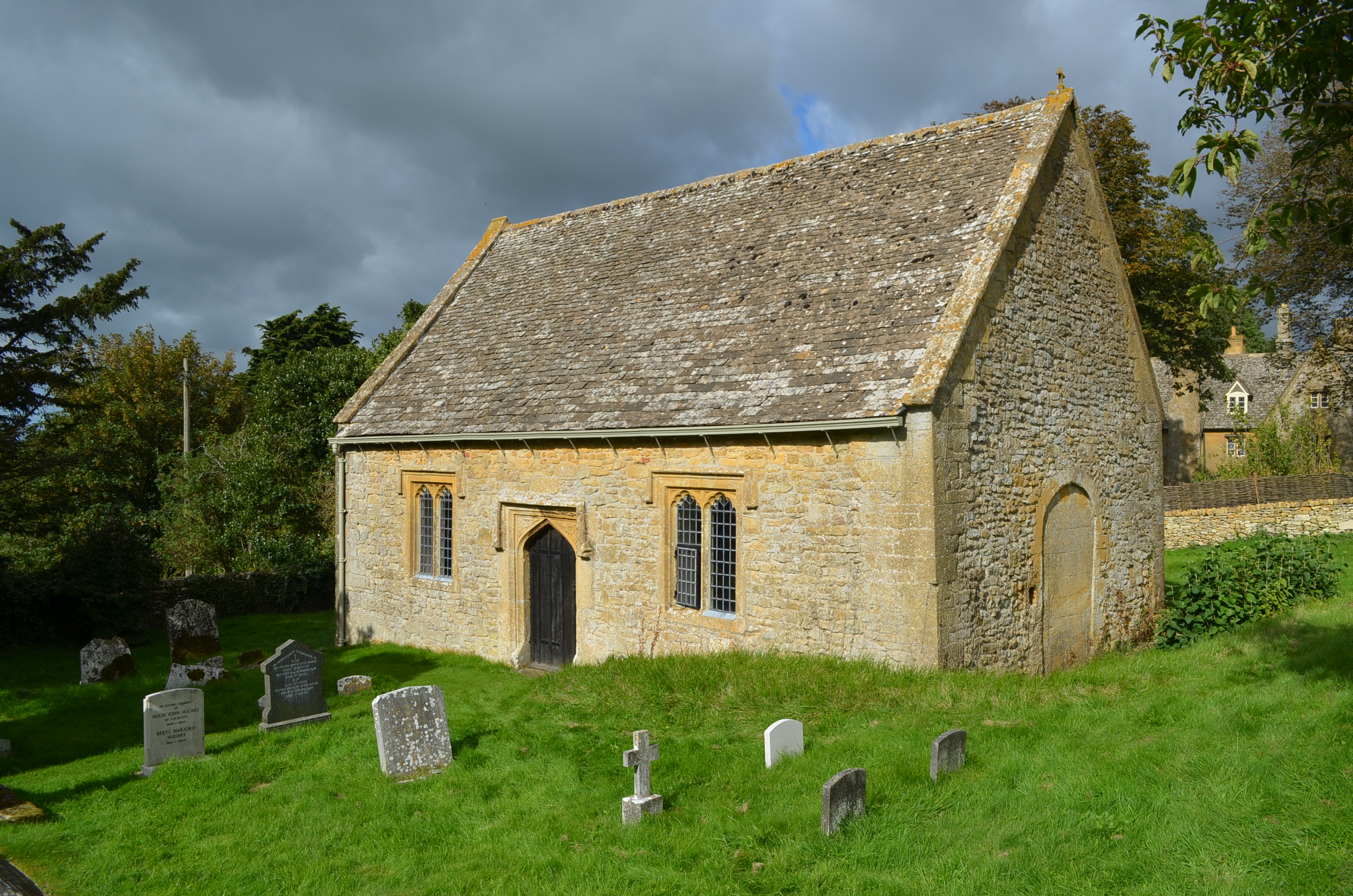
St Faith, Farmcote

St Faith, Farmcote is a chapel of ease in Farmcote, Gloucestershire, two miles west-north-west of Temple Guiting. It has been designated by English Heritage...

Farmcote

Farmcote is a hamlet in the Cotswolds in Gloucestershire, England. It lies 2 miles (3.2 km) east of the town of Winchcombe and 2 miles (3.2 km) west of...

Church of St Mary, Temple Guiting

The Anglican Church of St Mary at Temple Guiting in the Cotswold District of Gloucestershire, England was built in the 12th century. It is a grade I listed...
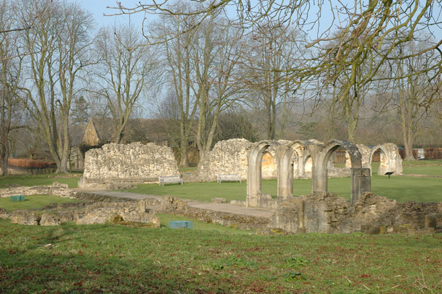
Hailes Abbey

Hailes Abbey is a former Cistercian abbey, in the small village of Hailes, two miles northeast of Winchcombe, Gloucestershire, England. It was founded...

Hailes, Gloucestershire

Hailes (also spelt Hayles) is a small village and former civil parish, now in the parish of Stanway, in the Tewkesbury district, in Gloucestershire, England...

Hailes Castle, Gloucestershire

Hailes Castle was a castle in the village of Hailes in Gloucestershire, England. The castle was built around the 11th or early 12th century near the church...

Spoonley Wood Roman Villa

Spoonley Wood Roman Villa is an ancient Roman villa located 2 km south-east of Sudeley Castle near the town of Winchcombe, in Gloucestershire, England...

Nearby Amenities

Located within 500m of 51.949592,-1.9308131
Barrier: kissing_gate
Foot: yes
Lat/Long: 51.9501729/-1.9378818
Passing Place
Lat/Long: 51.9484436/-1.9272316
Passing Place
Lat/Long: 51.9491289/-1.9274139
Passing Place
Lat/Long: 51.9502099/-1.9346585
Sudeley Hill Barn - Trans
Power: pole
Transformer: distribution
Voltage Primary: 11000
Lat/Long: 51.9507186/-1.9362907
Passing Place
Lat/Long: 51.9459483/-1.9269484
Passing Place
Lat/Long: 51.9474489/-1.9272218
The data included in this document is from www.openstreetmap.org. The data is made available under ODbL.

Have you been to Ford Road Coppice?

Leave your review of Ford Road Coppice below (or comments, questions and feedback).