Pond Wood
Wood, Forest in Yorkshire Richmondshire
England
Pond Wood
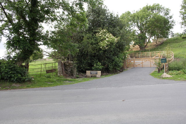
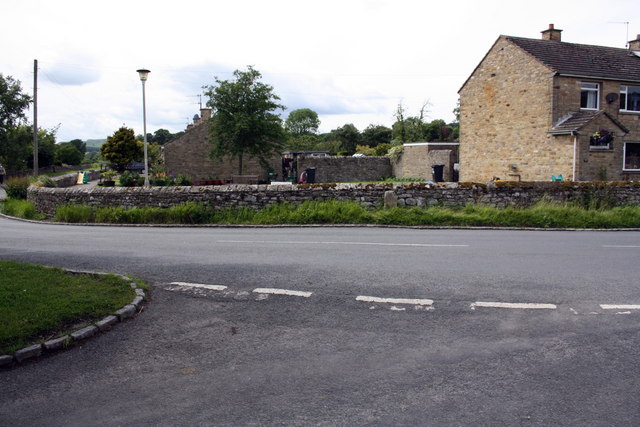
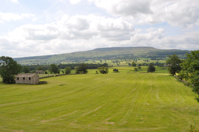
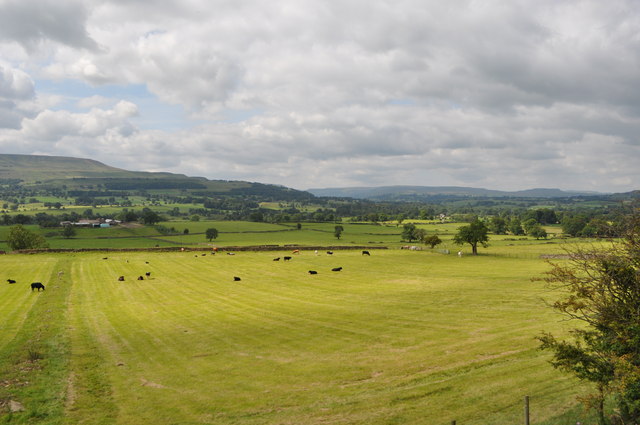
Pond Wood is a beautiful forest located in Yorkshire, England. Covering an area of approximately 100 acres, it is a popular destination for nature lovers and outdoor enthusiasts. The wood is situated on the outskirts of a small village, surrounded by rolling hills and picturesque landscapes.
Pond Wood is predominantly composed of deciduous trees, including oak, birch, and beech, which provide a stunning backdrop throughout the year. In spring, the forest comes alive with vibrant hues of green as the leaves begin to unfurl. During autumn, the woodland transforms into a kaleidoscope of red, orange, and gold as the foliage changes color.
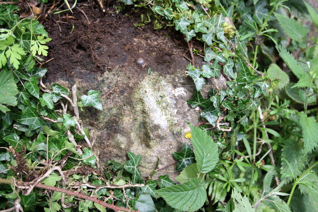
The forest is home to a diverse range of flora and fauna. Visitors can expect to encounter various bird species, such as woodpeckers and owls, as well as small mammals like squirrels and rabbits. The woodland floor is adorned with an array of wildflowers, creating a delightful sight and attracting butterflies and bees during the summer months.
Tranquility and serenity are the defining characteristics of Pond Wood. It offers numerous walking trails and paths, allowing visitors to explore its enchanting beauty at their own pace. The peaceful atmosphere and natural surroundings make it an ideal place for picnics, birdwatching, and photography.
Pond Wood is also a conservation area, managed by local authorities to preserve its ecological balance and protect its biodiversity. It serves as a valuable habitat for both common and rare species, making it an important part of the region's natural heritage.
In conclusion, Pond Wood is a captivating forest in Yorkshire, offering a haven of tranquility and natural beauty. Its diverse flora and fauna, along with its well-maintained trails, make it a must-visit destination for anyone seeking a connection with nature.
If you have any feedback on the listing, please let us know in the comments section below.
Pond Wood Images
Images are sourced within 2km of 54.304189/-1.9270627 or Grid Reference SE0489. Thanks to Geograph Open Source API. All images are credited.
Pond Wood is located at Grid Ref: SE0489 (Lat: 54.304189, Lng: -1.9270627)
Division: North Riding
Administrative County: North Yorkshire
District: Richmondshire
Police Authority: North Yorkshire
What 3 Words
///modern.eyelashes.straying. Near Leyburn, North Yorkshire
Nearby Locations
Related Wikis

Swinithwaite
Swinithwaite is a hamlet in the Yorkshire Dales, North Yorkshire, England. It lies on the A684 road, 2 miles (3.2 km) miles east of Aysgarth.The hamlet...

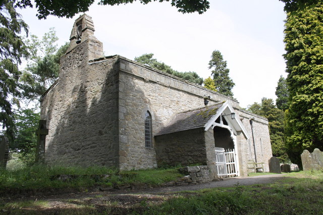
St Mary's Church, Redmire
St Mary's Church, Redmire is a Grade II* listed parish church in the Church of England: 289 in Redmire, North Yorkshire. == History == The church dates...

Redmire
Redmire is a village and civil parish in North Yorkshire, England. It is about 4 miles (6.4 km) west of Leyburn in Wensleydale in the Yorkshire Dales....

Penhill Preceptory
Penhill Preceptory was a priory on the northern flanks of Penhill in Wensleydale, North Yorkshire, England, which functioned from about 1142 to 1308–12...
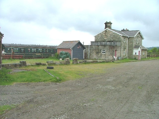
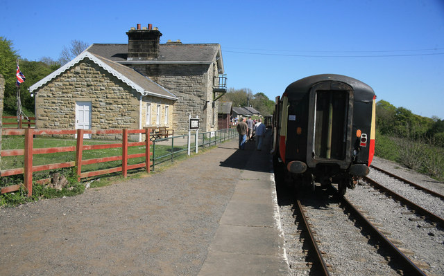
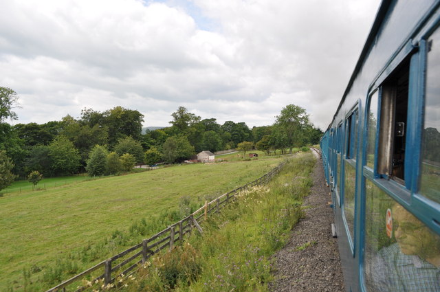
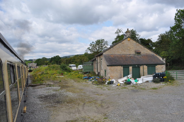
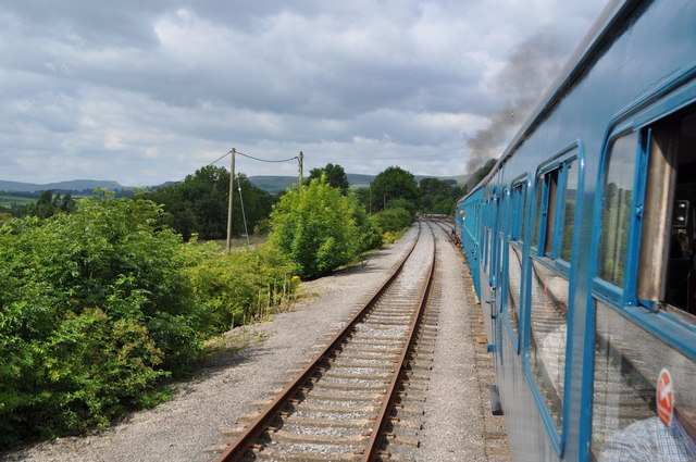
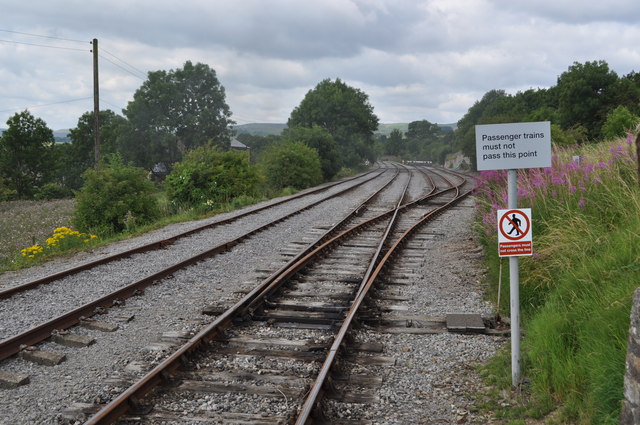
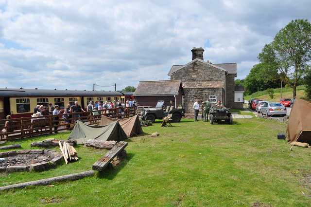
Redmire railway station
Redmire railway station is the current western terminus of the Wensleydale Railway and serves the village of Redmire in North Yorkshire, England. It is...

St Bartholomew's Church, West Witton
St Bartholomew's Church, West Witton is a Grade II listed parish church in the Church of England: 387 in West Witton, North Yorkshire. == History == The...
West Witton
West Witton is a village and civil parish in the Richmondshire district of North Yorkshire, England. Located in Wensleydale in the Yorkshire Dales it lies...

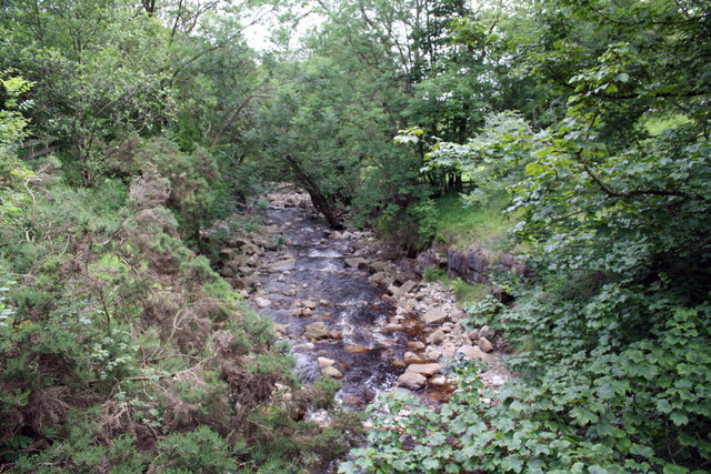
Bishopdale Beck
Bishopdale Beck is a major tributary of the River Ure in North Yorkshire, England. The beck flows down Bishopdale, a side valley of Wensleydale in the...
Nearby Amenities
Located within 500m of 54.304189,-1.9270627Have you been to Pond Wood?
Leave your review of Pond Wood below (or comments, questions and feedback).