New Wood
Wood, Forest in Yorkshire Richmondshire
England
New Wood
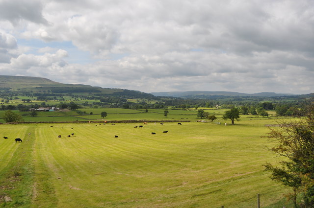
New Wood is a picturesque village located in the heart of Yorkshire, England. Nestled amidst the rolling hills and lush greenery, this idyllic village is known for its abundant woodlands, hence the name. Surrounded by an enchanting forest, New Wood offers a serene and tranquil atmosphere that attracts nature lovers and outdoor enthusiasts alike.
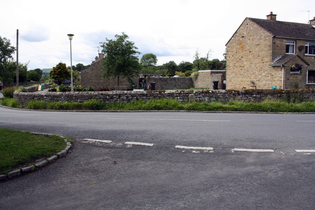
The village is home to a close-knit community, where residents take pride in their rich cultural heritage and strong sense of community spirit. New Wood boasts a charming collection of traditional stone cottages, which add to the village's rustic appeal. These quaint houses blend seamlessly with the natural surroundings, creating a harmonious blend of man-made and natural beauty.
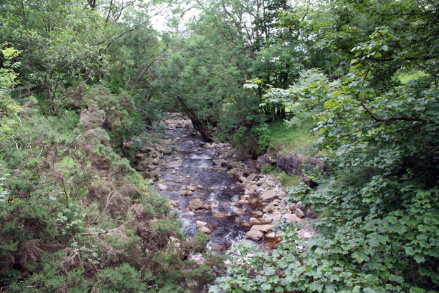
The forest that encompasses New Wood is a haven for wildlife, with a diverse range of flora and fauna. Visitors can explore the woodland trails and immerse themselves in the enchanting atmosphere, taking in the sights and sounds of nature. The forest also offers excellent opportunities for activities such as hiking, birdwatching, and photography.
In addition to its natural beauty, New Wood is also home to a number of local businesses that cater to both residents and tourists. Charming cafes, pubs, and shops line the village streets, offering a variety of goods and services. The friendly locals are always eager to share their knowledge and recommendations, ensuring that visitors feel welcome and well-cared for.
Overall, New Wood, Yorkshire is a hidden gem that offers a peaceful retreat from the bustling city life. Whether you're seeking a scenic getaway or a chance to immerse yourself in nature, this village is a must-visit destination.
If you have any feedback on the listing, please let us know in the comments section below.
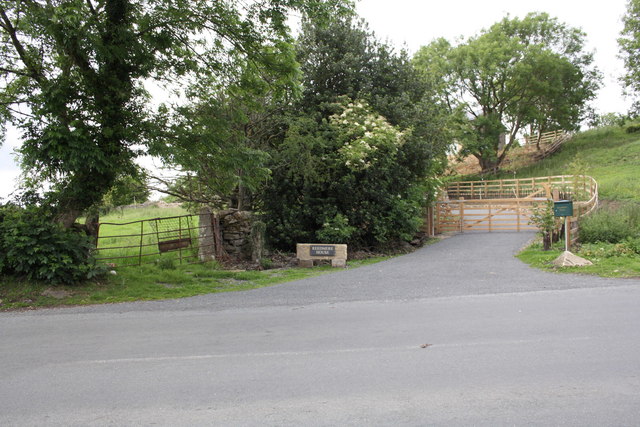
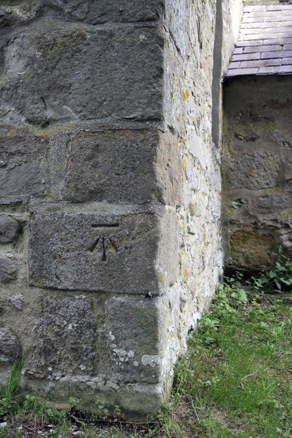
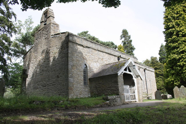
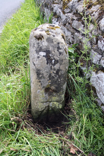
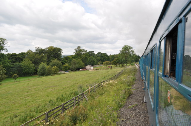
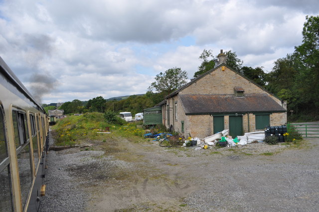
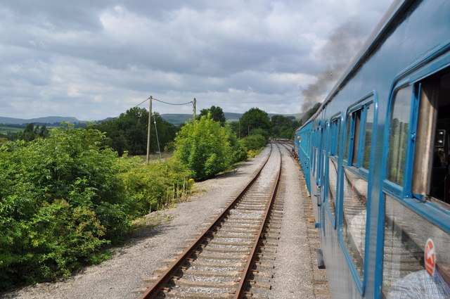
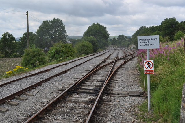
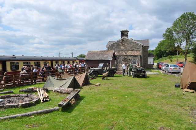
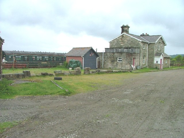
New Wood Images
Images are sourced within 2km of 54.302401/-1.927742 or Grid Reference SE0489. Thanks to Geograph Open Source API. All images are credited.

New Wood is located at Grid Ref: SE0489 (Lat: 54.302401, Lng: -1.927742)
Division: North Riding
Administrative County: North Yorkshire
District: Richmondshire
Police Authority: North Yorkshire
What 3 Words
///internet.thuds.lurching. Near Leyburn, North Yorkshire
Nearby Locations
Related Wikis

Swinithwaite
Swinithwaite is a hamlet in the Yorkshire Dales, North Yorkshire, England. It lies on the A684 road, 2 miles (3.2 km) miles east of Aysgarth.The hamlet...

St Mary's Church, Redmire
St Mary's Church, Redmire is a Grade II* listed parish church in the Church of England: 289 in Redmire, North Yorkshire. == History == The church dates...

Penhill Preceptory
Penhill Preceptory was a priory on the northern flanks of Penhill in Wensleydale, North Yorkshire, England, which functioned from about 1142 to 1308–12...

Redmire
Redmire is a village and civil parish in North Yorkshire, England. It is about 4 miles (6.4 km) west of Leyburn in Wensleydale in the Yorkshire Dales....

St Bartholomew's Church, West Witton
St Bartholomew's Church, West Witton is a Grade II listed parish church in the Church of England: 387 in West Witton, North Yorkshire. == History == The...
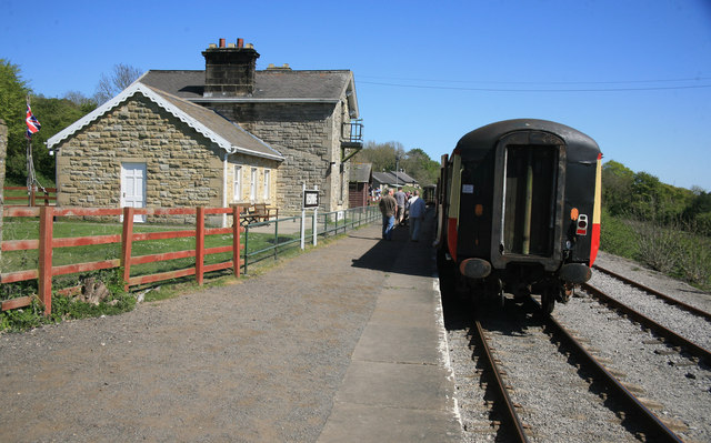
Redmire railway station
Redmire railway station is the current western terminus of the Wensleydale Railway and serves the village of Redmire in North Yorkshire, England. It is...
West Witton
West Witton is a village and civil parish in the Richmondshire district of North Yorkshire, England. Located in Wensleydale in the Yorkshire Dales it lies...

Bishopdale Beck
Bishopdale Beck is a major tributary of the River Ure in North Yorkshire, England. The beck flows down Bishopdale, a side valley of Wensleydale in the...
Nearby Amenities
Located within 500m of 54.302401,-1.927742Have you been to New Wood?
Leave your review of New Wood below (or comments, questions and feedback).