Swinithwaite
Settlement in Yorkshire Richmondshire
England
Swinithwaite
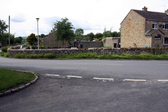
Swinithwaite is a charming village located in the heart of Yorkshire, England. Situated in the district of Richmondshire, this peaceful hamlet is nestled amidst picturesque rolling hills and idyllic countryside landscapes. With a population of just over 100 residents, Swinithwaite is renowned for its tranquil and close-knit community.
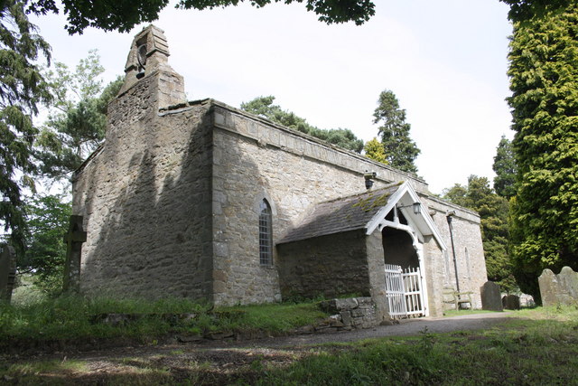
The village boasts a rich history, dating back to medieval times. Evidence of this can be seen in the architecture of its buildings, including the stunning St. Mary's Church, which dates back to the 12th century. The church is a prominent landmark in the area and attracts visitors from far and wide.
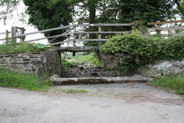
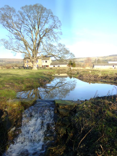
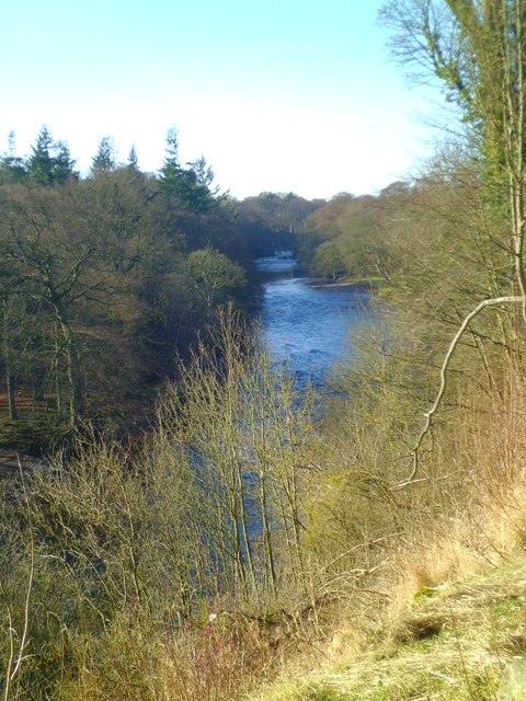
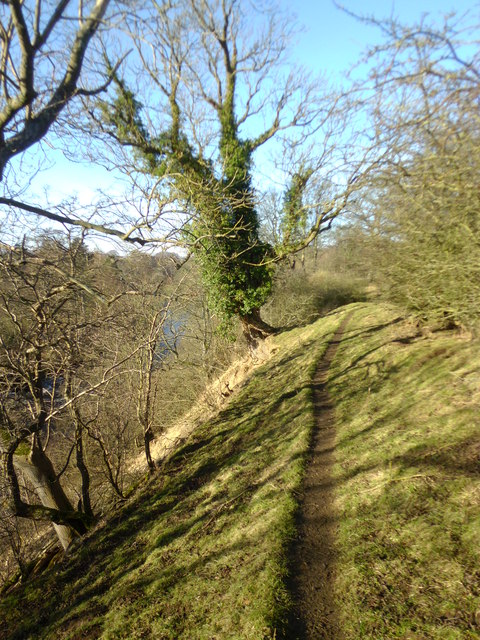
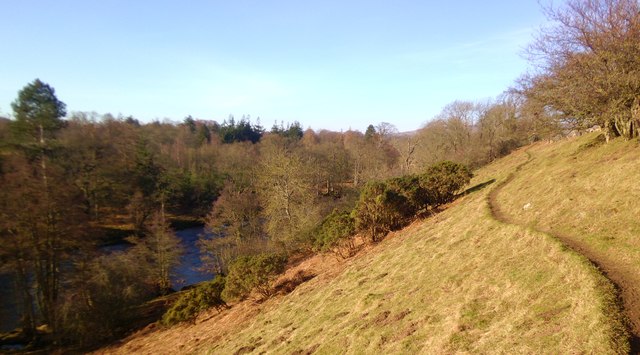
Nature enthusiasts will be delighted by the abundance of outdoor activities on offer in Swinithwaite. The village is surrounded by breathtaking scenery, with plenty of walking trails and hiking routes to explore. The nearby River Ure also provides opportunities for fishing and boating.
In terms of amenities, Swinithwaite offers a quaint village pub, where locals and visitors can enjoy a refreshing drink or a traditional meal. For shopping and further amenities, the market town of Leyburn is just a short drive away.
Overall, Swinithwaite is a hidden gem in Yorkshire, offering a peaceful and picturesque retreat for those seeking a break from the hustle and bustle of city life. Its rich history, stunning natural landscapes, and welcoming community make it a truly special place to visit or call home.
If you have any feedback on the listing, please let us know in the comments section below.
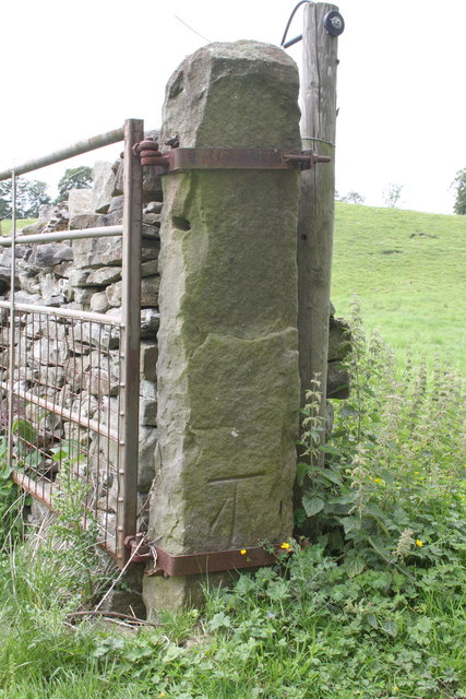
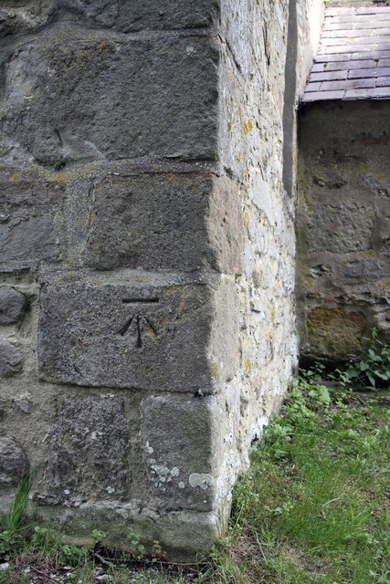
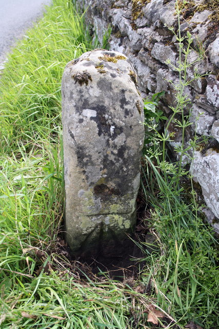
Swinithwaite Images
Images are sourced within 2km of 54.297865/-1.933127 or Grid Reference SE0489. Thanks to Geograph Open Source API. All images are credited.


Swinithwaite is located at Grid Ref: SE0489 (Lat: 54.297865, Lng: -1.933127)
Division: North Riding
Administrative County: North Yorkshire
District: Richmondshire
Police Authority: North Yorkshire
What 3 Words
///doted.generated.hostels. Near Leyburn, North Yorkshire
Nearby Locations
Related Wikis

Swinithwaite
Swinithwaite is a hamlet in the Yorkshire Dales, North Yorkshire, England. It lies on the A684 road, 2 miles (3.2 km) miles east of Aysgarth.The hamlet...

Penhill Preceptory
Penhill Preceptory was a priory on the northern flanks of Penhill in Wensleydale, North Yorkshire, England, which functioned from about 1142 to 1308–12...

St Mary's Church, Redmire
St Mary's Church, Redmire is a Grade II* listed parish church in the Church of England: 289 in Redmire, North Yorkshire. == History == The church dates...

Bishopdale Beck
Bishopdale Beck is a major tributary of the River Ure in North Yorkshire, England. The beck flows down Bishopdale, a side valley of Wensleydale in the...

St Bartholomew's Church, West Witton
St Bartholomew's Church, West Witton is a Grade II listed parish church in the Church of England: 387 in West Witton, North Yorkshire. == History == The...
West Witton
West Witton is a village and civil parish in the Richmondshire district of North Yorkshire, England. Located in Wensleydale in the Yorkshire Dales it lies...

Redmire
Redmire is a village and civil parish in North Yorkshire, England. It is about 4 miles (6.4 km) west of Leyburn in Wensleydale in the Yorkshire Dales....
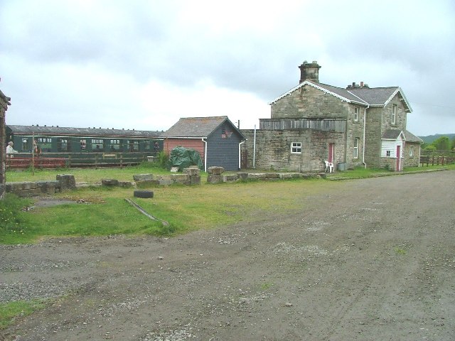
Redmire railway station
Redmire railway station is the current western terminus of the Wensleydale Railway and serves the village of Redmire in North Yorkshire, England. It is...
Nearby Amenities
Located within 500m of 54.297865,-1.933127Have you been to Swinithwaite?
Leave your review of Swinithwaite below (or comments, questions and feedback).