Home Wood
Wood, Forest in Yorkshire Richmondshire
England
Home Wood
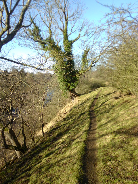
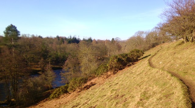
Home Wood is a picturesque woodland located in the county of Yorkshire, England. Situated near the village of Wood, this forested area spans an approximate area of 100 acres. It is known for its dense canopy of trees, diverse wildlife, and tranquil atmosphere, making it a popular destination for nature enthusiasts and hikers.
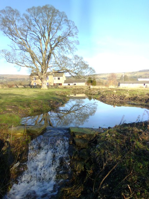
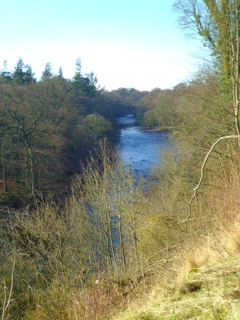
The wood consists primarily of native deciduous trees, such as oak, beech, and birch, which create a vibrant display of colors throughout the seasons. The well-maintained footpaths and trails winding through the forest offer visitors the opportunity to explore its natural beauty and discover hidden gems such as secluded ponds and streams.
Home Wood is home to a variety of wildlife, including deer, foxes, badgers, and a plethora of bird species. Birdwatchers often flock to the area to catch a glimpse of the native birds that call this woodland their home, such as woodpeckers, owls, and song thrushes.
The wood is also a conservation area, managed by local authorities to preserve its ecological value and protect its fragile ecosystem. It serves as an important habitat for a range of plant species, fungi, and insects, contributing to the biodiversity of the region.
Visitors to Home Wood can enjoy a peaceful retreat from the hustle and bustle of daily life, immersing themselves in the serenity of nature. Whether it's a leisurely stroll, birdwatching, or simply enjoying a picnic amidst the towering trees, Home Wood offers an idyllic escape for nature lovers and outdoor enthusiasts.
If you have any feedback on the listing, please let us know in the comments section below.
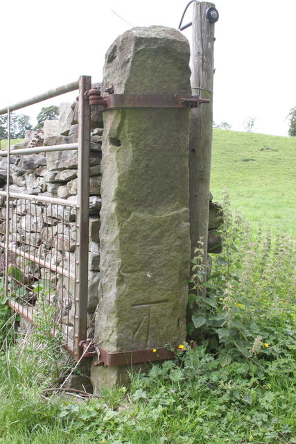
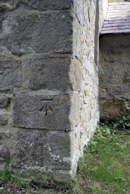
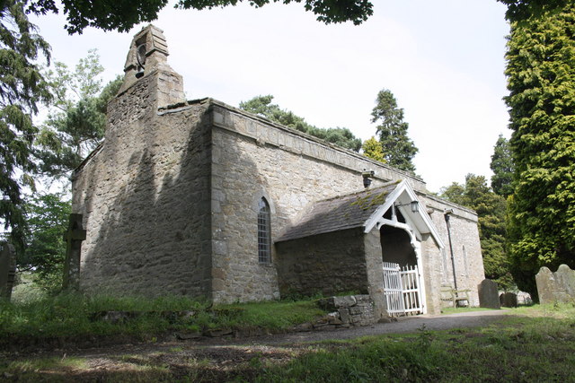
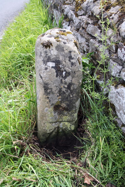
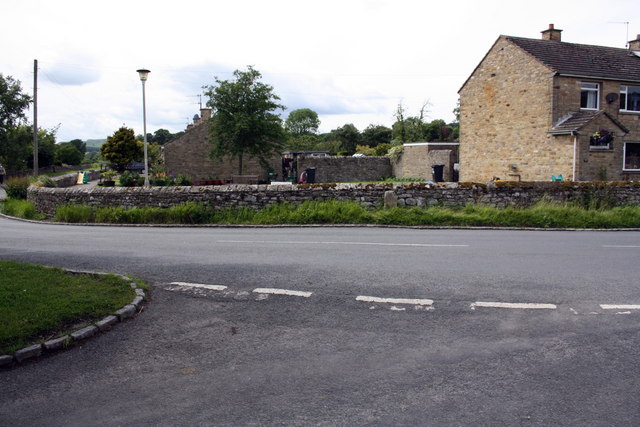
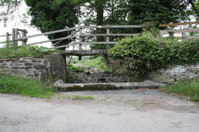
Home Wood Images
Images are sourced within 2km of 54.299597/-1.9286227 or Grid Reference SE0489. Thanks to Geograph Open Source API. All images are credited.


Home Wood is located at Grid Ref: SE0489 (Lat: 54.299597, Lng: -1.9286227)
Division: North Riding
Administrative County: North Yorkshire
District: Richmondshire
Police Authority: North Yorkshire
What 3 Words
///mandolin.wept.rates. Near Leyburn, North Yorkshire
Nearby Locations
Related Wikis

Swinithwaite
Swinithwaite is a hamlet in the Yorkshire Dales, North Yorkshire, England. It lies on the A684 road, 2 miles (3.2 km) miles east of Aysgarth.The hamlet...

Penhill Preceptory
Penhill Preceptory was a priory on the northern flanks of Penhill in Wensleydale, North Yorkshire, England, which functioned from about 1142 to 1308–12...

St Mary's Church, Redmire
St Mary's Church, Redmire is a Grade II* listed parish church in the Church of England: 289 in Redmire, North Yorkshire. == History == The church dates...

St Bartholomew's Church, West Witton
St Bartholomew's Church, West Witton is a Grade II listed parish church in the Church of England: 387 in West Witton, North Yorkshire. == History == The...
West Witton
West Witton is a village and civil parish in the Richmondshire district of North Yorkshire, England. Located in Wensleydale in the Yorkshire Dales it lies...

Redmire
Redmire is a village and civil parish in North Yorkshire, England. It is about 4 miles (6.4 km) west of Leyburn in Wensleydale in the Yorkshire Dales....

Bishopdale Beck
Bishopdale Beck is a major tributary of the River Ure in North Yorkshire, England. The beck flows down Bishopdale, a side valley of Wensleydale in the...
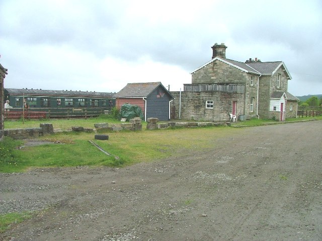
Redmire railway station
Redmire railway station is the current western terminus of the Wensleydale Railway and serves the village of Redmire in North Yorkshire, England. It is...
Nearby Amenities
Located within 500m of 54.299597,-1.9286227Have you been to Home Wood?
Leave your review of Home Wood below (or comments, questions and feedback).