St Kenelm's Well
Heritage Site in Gloucestershire Tewkesbury
England
St Kenelm's Well
St Kenelm's Well is a historic and revered site located in the county of Gloucestershire, England. Situated in the picturesque Worcestershire countryside, this well is believed to have significant religious and cultural importance.
The well is dedicated to Saint Kenelm, a young Anglo-Saxon prince who was martyred in the ninth century AD. According to local folklore, it is said that after Kenelm was assassinated, his body was thrown into a nearby spring, which later became St Kenelm's Well. This legend has contributed to the well's reputation as a sacred and miraculous site.
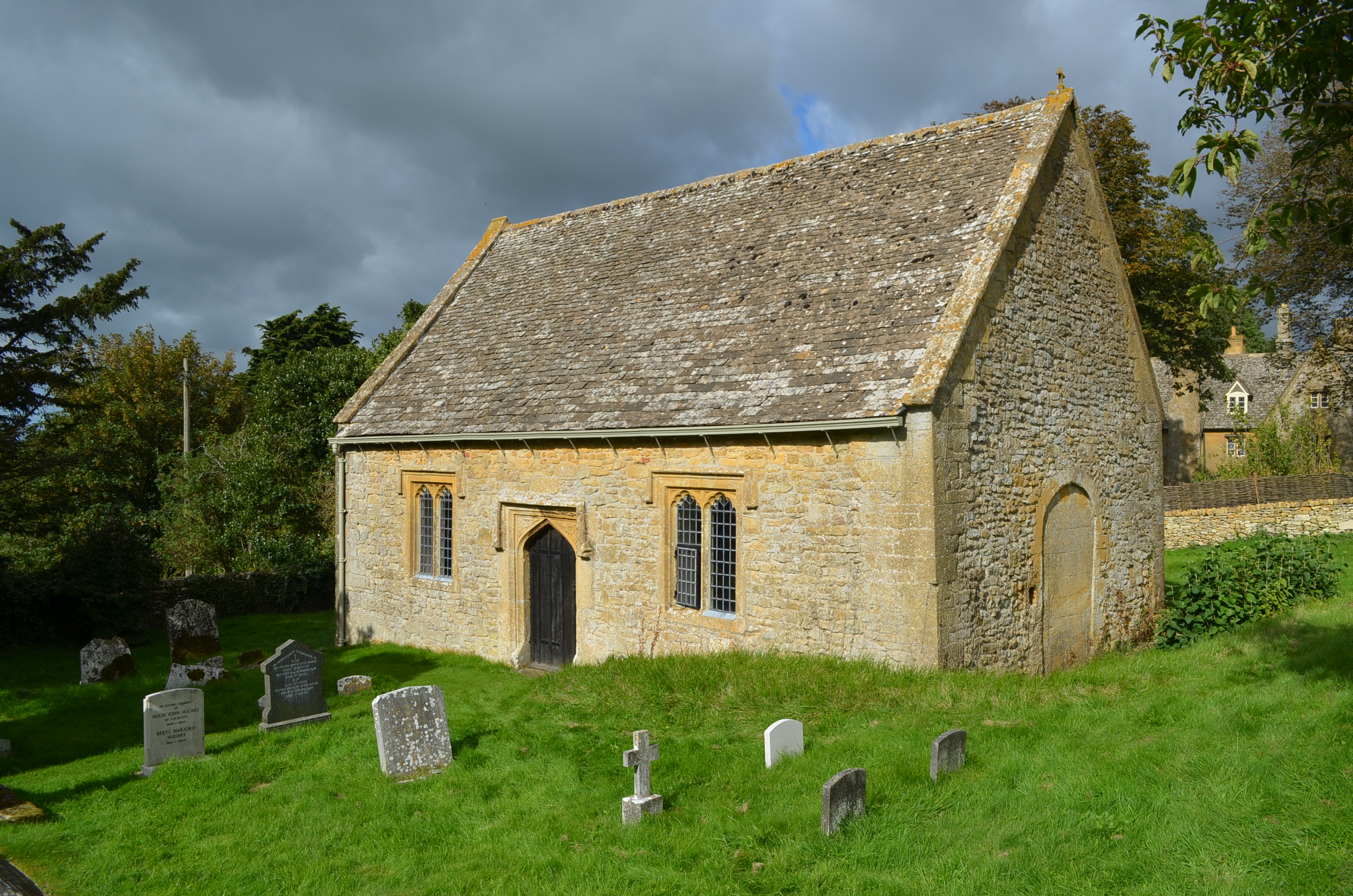
The well is housed within a small stone structure, featuring a low-arched entrance and a small pool of water inside. Over the centuries, it has been a site of pilgrimage and worship for devotees seeking healing and spiritual solace. Visitors often leave offerings, such as flowers and small tokens, as a sign of their devotion.
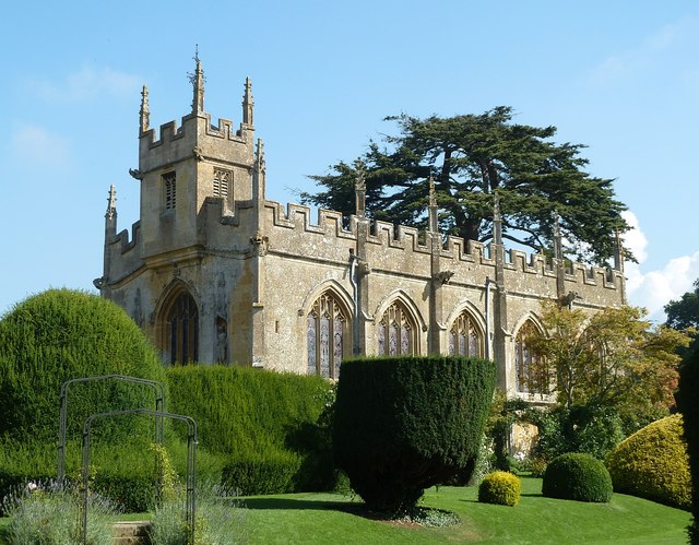
The surrounding area is also of historical significance, with St Kenelm's Church located nearby. The church is believed to have been founded in the 12th century and contains beautiful stained glass windows and intricate stonework.
Today, St Kenelm's Well continues to attract visitors from far and wide, who come to experience the tranquility and spirituality of the site. It serves as a reminder of the region's rich cultural heritage and religious traditions, providing a place for reflection and contemplation.
If you have any feedback on the listing, please let us know in the comments section below.
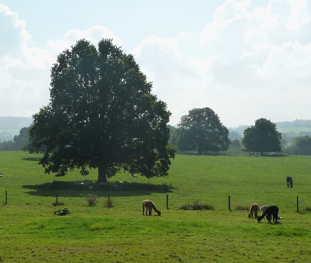
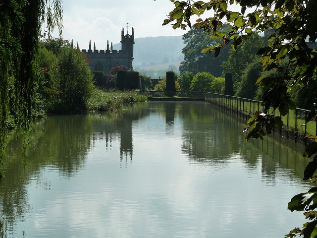
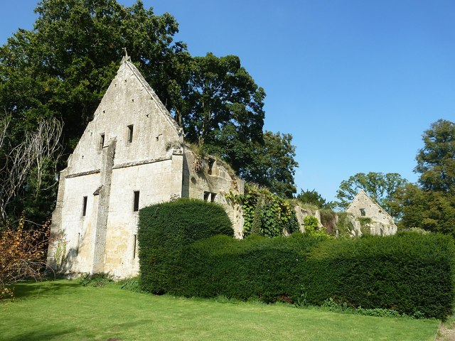
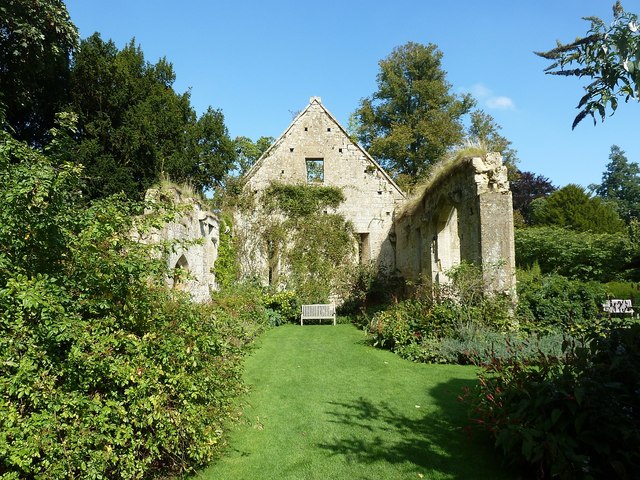
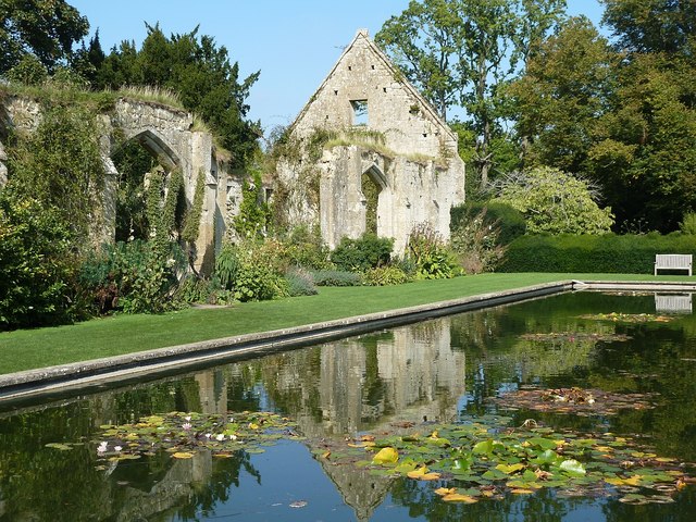
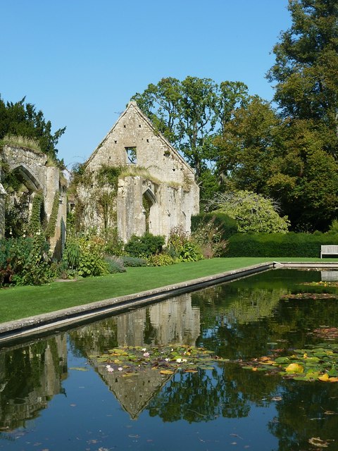
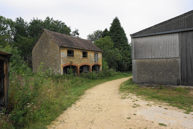
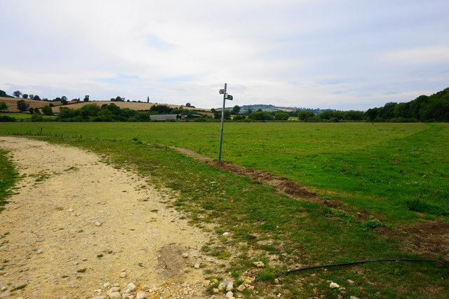
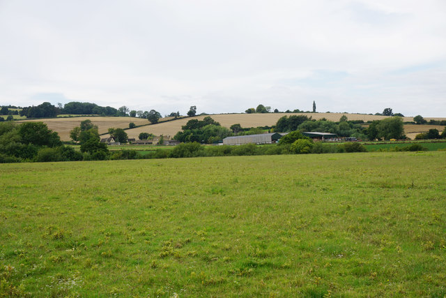
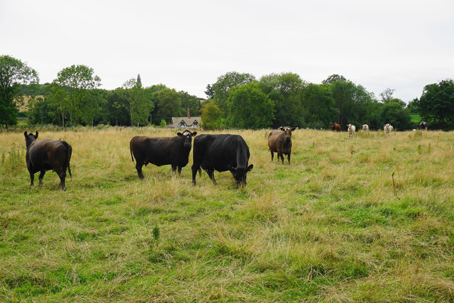
St Kenelm's Well Images
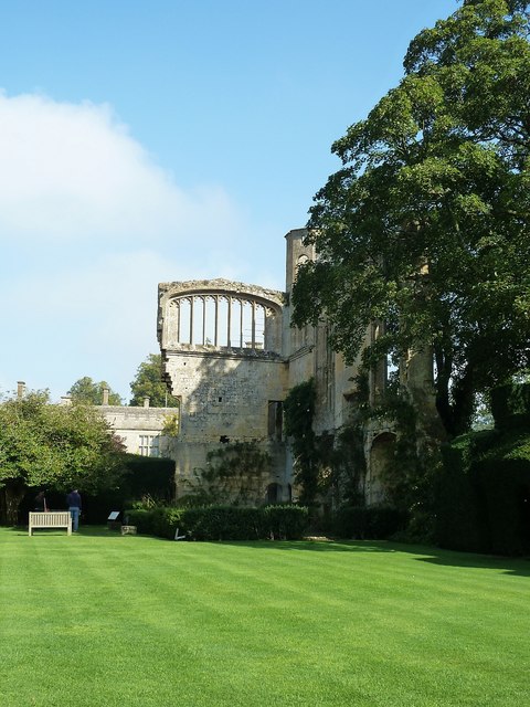
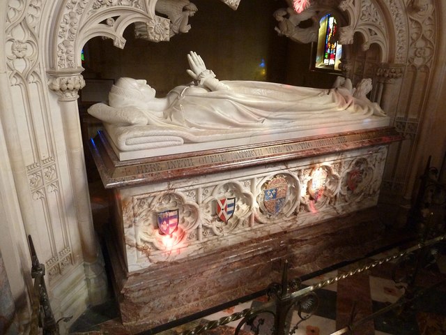
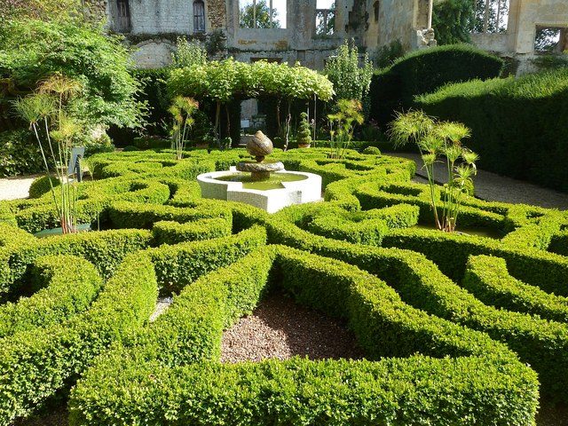
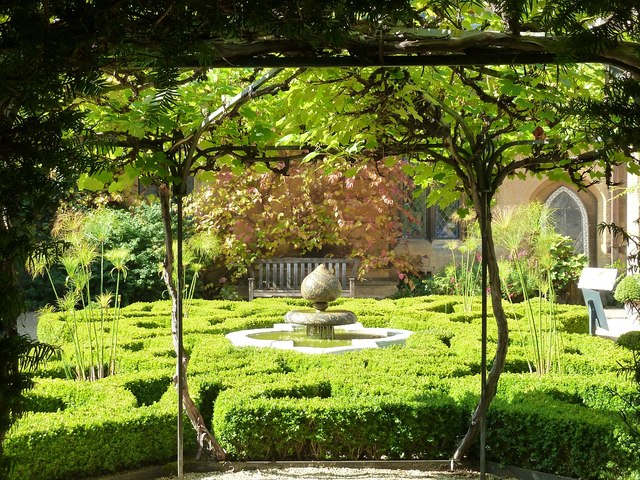
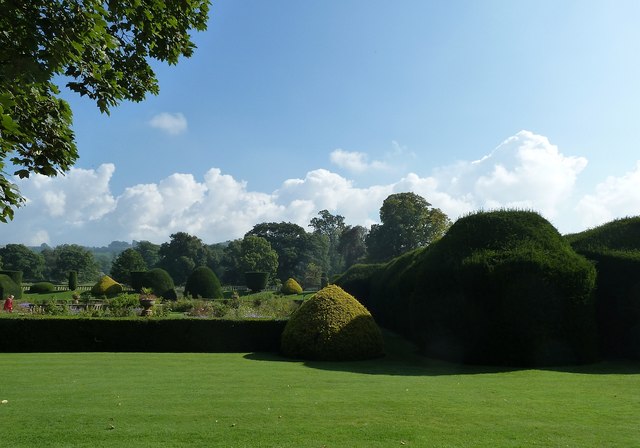
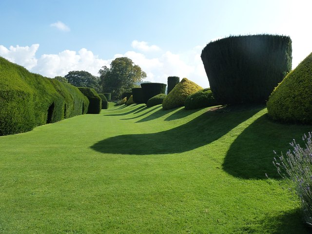
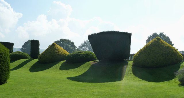
Images are sourced within 2km of 51.945/-1.935 or Grid Reference SP0427. Thanks to Geograph Open Source API. All images are credited.
St Kenelm's Well is located at Grid Ref: SP0427 (Lat: 51.945, Lng: -1.935)
Administrative County: Gloucestershire
District: Tewkesbury
Police Authority: Gloucestershire
What 3 Words
///icon.frock.provoking. Near Winchcombe, Gloucestershire
Related Wikis

Spoonley Wood Roman Villa
Spoonley Wood Roman Villa is an ancient Roman villa located 2 km south-east of Sudeley Castle near the town of Winchcombe, in Gloucestershire, England...

Farmcote Grange
Farmcote Grange was a medieval monastic grange at Farmcote in Gloucestershire, England. It was a grange of Hailes Abbey. == References ==
St Faith, Farmcote
St Faith, Farmcote is a chapel of ease in Farmcote, Gloucestershire, two miles west-north-west of Temple Guiting. It has been designated by English Heritage...
Farmcote
Farmcote is a hamlet in the Cotswolds in Gloucestershire, England. It lies 2 miles (3.2 km) east of the town of Winchcombe and 2 miles (3.2 km) west of...

5 North St
5 North St, also known as 5 North Street, is a restaurant located in Winchcombe, Gloucestershire, England, which is owned and run by chef Marcus Ashenford...
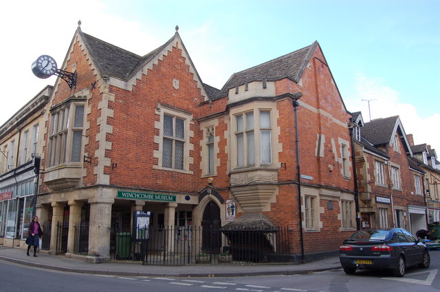
Winchcombe Town Hall
Winchcombe Town Hall is a municipal building in the High Street, Winchcombe, Gloucestershire, England. The structure, which accommodates the Winchcombe...

Church of St Mary, Temple Guiting
The Anglican Church of St Mary at Temple Guiting in the Cotswold District of Gloucestershire, England was built in the 12th century. It is a grade I listed...
Winchcombe Castle
Winchcombe Castle was a castle in the town of Winchcombe in Gloucestershire, England. The motte and bailey castle was built during the chaos of the Anarchy...
Nearby Amenities
Located within 500m of 51.945,-1.935Have you been to St Kenelm's Well?
Leave your review of St Kenelm's Well below (or comments, questions and feedback).