Square Coppice

Wood, Forest in Gloucestershire Cotswold

England

Square Coppice

Communication Mast, St Paul's Epistle Sited near the summit of St.Paul's Epistle this communications mast overlooks the A436 and much lower down in the valley the A40.
Communication Mast, St Paul's Epistle Credit: Terry Jacombs

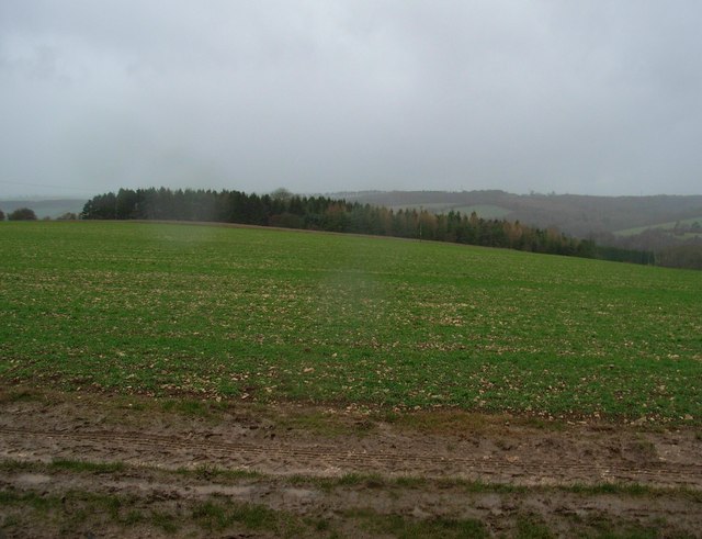
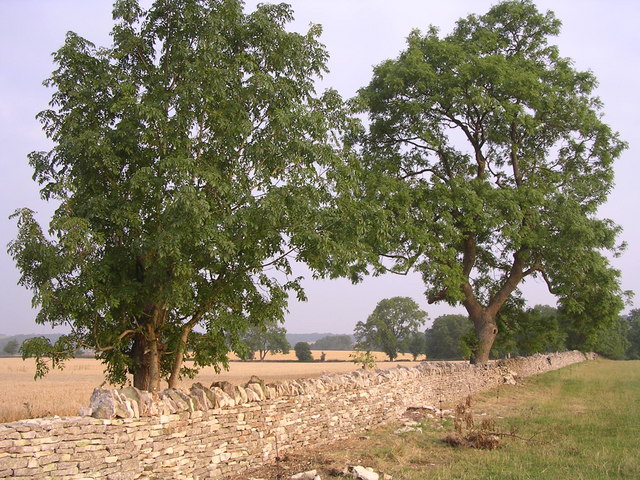
Square Coppice is a picturesque woodland located in the county of Gloucestershire, England. Situated on the outskirts of a small village, it covers an area of approximately 50 hectares. The woodland is known for its diverse range of tree species, including oak, ash, beech, and birch, creating a rich and vibrant ecosystem.

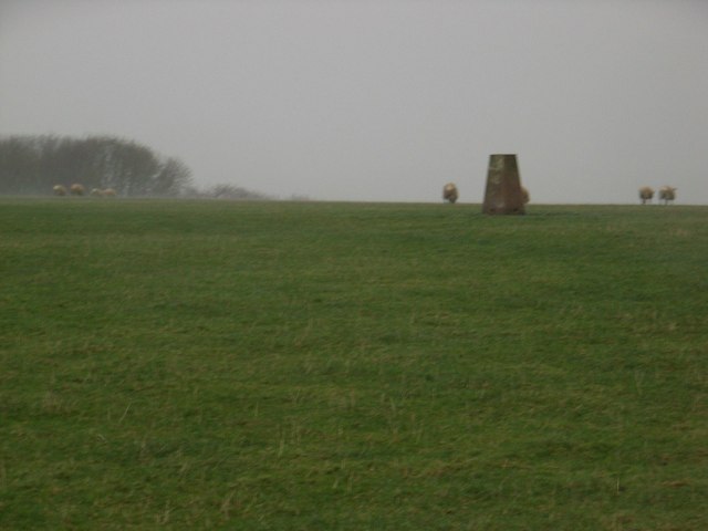
The forest is easily accessible, with a network of well-maintained footpaths that wind their way through the trees. These paths provide visitors with the opportunity to explore the woodland and immerse themselves in nature. Along the way, one can discover an array of wildlife, such as deer, badgers, and a variety of bird species.

Square Coppice is also home to a number of historical features, including remnants of ancient boundary banks and ditches. These archaeological remains offer a glimpse into the area's past and provide an interesting backdrop to the natural beauty of the woodland.

The forest is well-managed and maintained by local authorities, ensuring the preservation of its unique biodiversity. It is a popular destination for nature enthusiasts, walkers, and photographers, who are drawn to its tranquil atmosphere and natural charm.

Overall, Square Coppice in Gloucestershire is a captivating woodland that offers visitors a chance to escape the hustle and bustle of everyday life and connect with the beauty of nature.

If you have any feedback on the listing, please let us know in the comments section below.

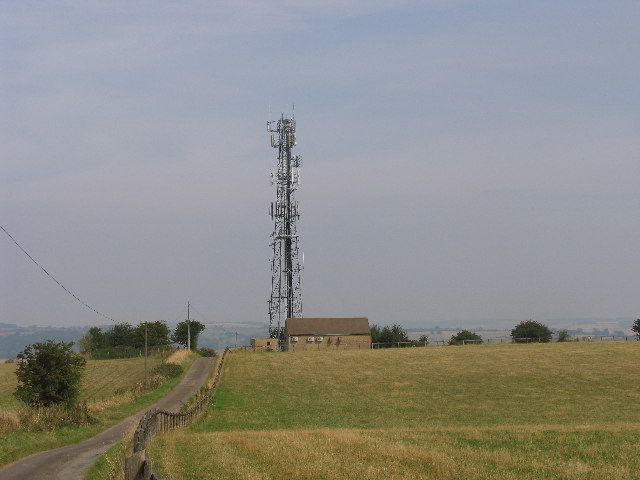
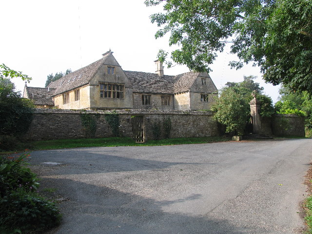
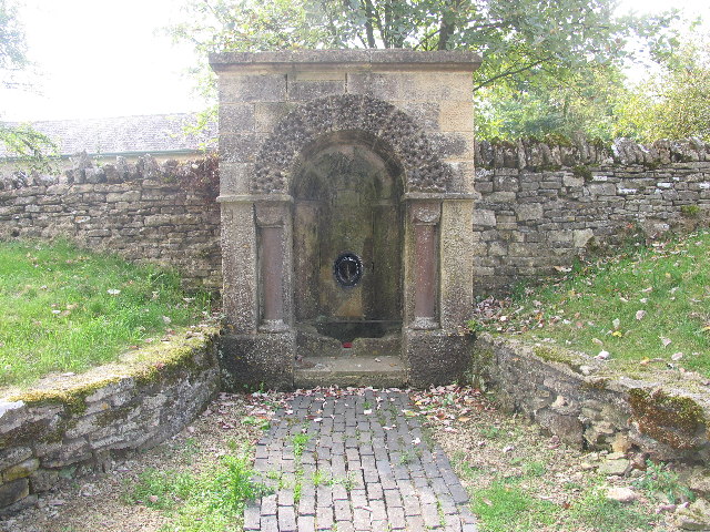
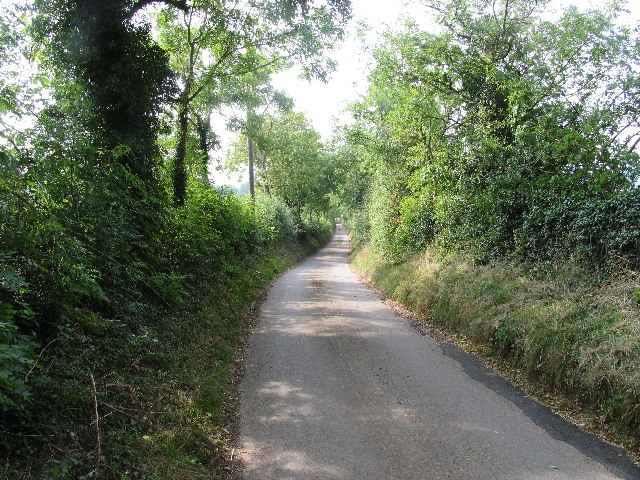
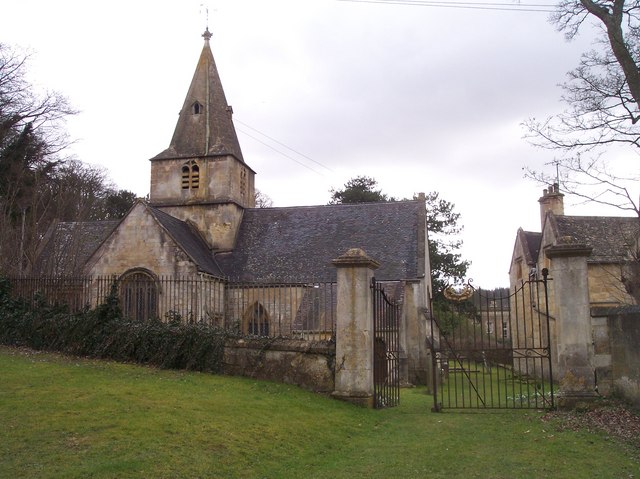
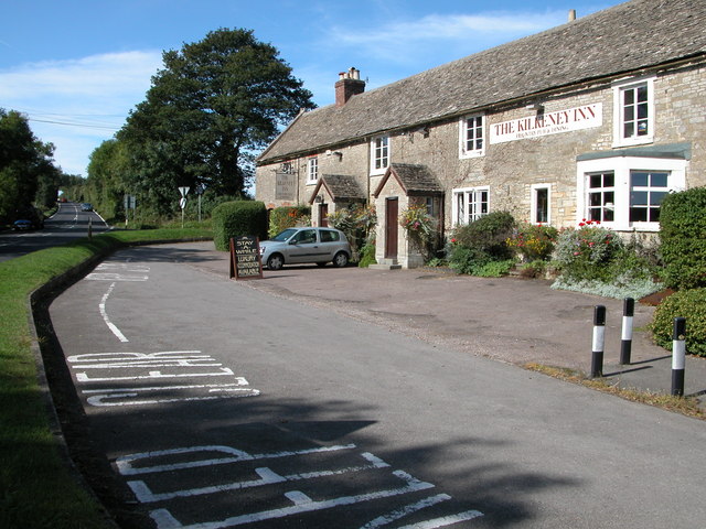
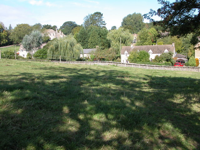
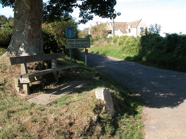
Square Coppice Images

Images are sourced within 2km of 51.86107/-2.0025815 or Grid Reference SO9918. Thanks to Geograph Open Source API. All images are credited.

Communication Mast, St Paul's Epistle Sited near the summit of St.Paul's Epistle this communications mast overlooks the A436 and much lower down in the valley the A40.
Communication Mast, St Paul's Epistle
Sited near the summit of St.Paul's Epistle this communications mast overlooks the A436 and much lower down in the valley the A40.
A436 at Kilkenny The A436 runs across this square east to west and carries a heavy volume of traffic heading for the M5 from the A40, avoiding Cheltenham, on a narrow A road.
A436 at Kilkenny
The A436 runs across this square east to west and carries a heavy volume of traffic heading for the M5 from the A40, avoiding Cheltenham, on a narrow A road.
The Manor House, Upper Dowdeswell Situated on a dead end lane off a quiet cross country lane, the hamlet of Upper Dowdeswell and its old manor house sees few visitors.
The Manor House, Upper Dowdeswell
Situated on a dead end lane off a quiet cross country lane, the hamlet of Upper Dowdeswell and its old manor house sees few visitors.
Public Water Tap, Upper Dowdeswell This water tap is housed in a purpose built alcove in the walls of the Manor House.
Public Water Tap, Upper Dowdeswell
This water tap is housed in a purpose built alcove in the walls of the Manor House.
Gloucestershire Way near St Paul's Epistle This lane which runs from Kilkenny to Hilcot forms part of the Gloucestershire Way for about a kilometre here.
Gloucestershire Way near St Paul's Epistle
This lane which runs from Kilkenny to Hilcot forms part of the Gloucestershire Way for about a kilometre here.
Dowdeswell Church Viewed from the north.
Dowdeswell Church
Viewed from the north.
The Kilkenny Inn, Kilkenny The inn is well situated at the junction of four roads.
The Kilkenny Inn, Kilkenny
The inn is well situated at the junction of four roads.
Foxcote Foxcote is a small village to the south-east of Kilkenny.
Foxcote
Foxcote is a small village to the south-east of Kilkenny.
Upper Dowdeswell Seat under a tree at the road junction for Upper Dowdeswell.
Upper Dowdeswell
Seat under a tree at the road junction for Upper Dowdeswell.
On Withington Hill Looking in the direction of Shornhill Farm, which is behind the trees.
On Withington Hill
Looking in the direction of Shornhill Farm, which is behind the trees.
Triangulation pillar on Withington Hill In wet, windy, wintery conditions.
Triangulation pillar on Withington Hill
In wet, windy, wintery conditions.
Restoration of Dry Stone Wall
Andoversford Relay Transmitter The transmitter and mast are operated by Arqiva, part of a multinational communications conglomerate with Australian roots, Macquaries.  The site was originally built for the Independent Broadcasting Authority and is an analogue TV relay station for Ridge Hill transmitter nr Much Marcle.
Andoversford Relay Transmitter
The transmitter and mast are operated by Arqiva, part of a multinational communications conglomerate with Australian roots, Macquaries. The site was originally built for the Independent Broadcasting Authority and is an analogue TV relay station for Ridge Hill transmitter nr Much Marcle.
Snow landscape at sundown
Gloucestershire way towards Foxcote
Footpath towards A436
Road climbing towards St Paul's Epistle
St Paul's Epistle
St Paul's Epistle
Show me another place!

Square Coppice is located at Grid Ref: SO9918 (Lat: 51.86107, Lng: -2.0025815)

Administrative County: Gloucestershire

District: Cotswold

Police Authority: Gloucestershire

What 3 Words

///offhand.webcams.prefix. Near Charlton Kings, Gloucestershire

Related Wikis

Lineover Wood

Lineover Wood (grid reference SO987187) is a 20.3-hectare (50-acre) biological Site of Special Scientific Interest in Gloucestershire, notified in 1986...

Dowdeswell Reservoir

Dowdeswell Reservoir and former water treatment works lie below the parish of Dowdeswell in Gloucestershire. They were originally built by Cheltenham...

Dowdeswell

Dowdeswell is a civil parish in the ward of Chedworth, Cotswold, in the ceremonial county of Gloucestershire, England. It is separated into Upper and Lower...

Andoversford

Andoversford is a village and civil parish in the Cotswold District of Gloucestershire, England, about 5 miles (8 km) east of Cheltenham. The village is...

Nearby Amenities

Located within 500m of 51.86107,-2.0025815
Barrier: stile
Bicycle: yes
Foot: yes
Lat/Long: 51.8596835/-1.9984442
Communication Mobile Phone: yes
Man Made: tower
Tower Construction: lattice
Tower Type: communication
Lat/Long: 51.8640032/-1.9972869
Power: pole
Lat/Long: 51.8587406/-2.0017183
Power: pole
Lat/Long: 51.858809/-2.0005256
Power: pole
Lat/Long: 51.8588723/-1.999377
Power: pole
Lat/Long: 51.8589391/-1.9981662
Power: pole
Lat/Long: 51.8590075/-1.9970151
Barrier: stile
Bicycle: yes
Foot: yes
Lat/Long: 51.8596181/-1.9978427
Barrier: stile
Foot: yes
Lat/Long: 51.8596905/-1.9985911
Barrier: kissing_gate
Lat/Long: 51.8641514/-1.9973505
Power: pole
Lat/Long: 51.8586338/-2.004023
Power: pole
Lat/Long: 51.8585775/-2.0052032
Man Made: tower
Source: video_survey; Mapbox
Tower Type: communication
Lat/Long: 51.8644215/-1.9977442
Barrier: stile
Foot: designated
Lat/Long: 51.8636893/-2.0036686
The data included in this document is from www.openstreetmap.org. The data is made available under ODbL.

Have you been to Square Coppice?

Leave your review of Square Coppice below (or comments, questions and feedback).