Maiden Green

Wood, Forest in Northumberland

England

Maiden Green

NCR 72 near High Barns Farm
NCR 72 near High Barns Farm Credit: Colin Pyle

Maiden Green, located in the beautiful county of Northumberland, is a quaint and picturesque woodland area known for its serene and natural beauty. Nestled amidst a dense forest, it offers a sanctuary for nature enthusiasts and those seeking tranquility away from the bustling city life.

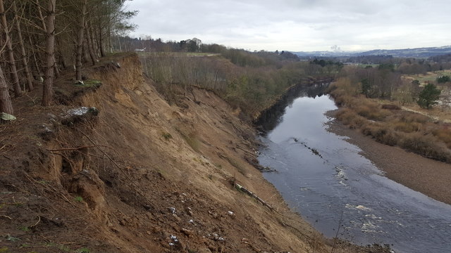
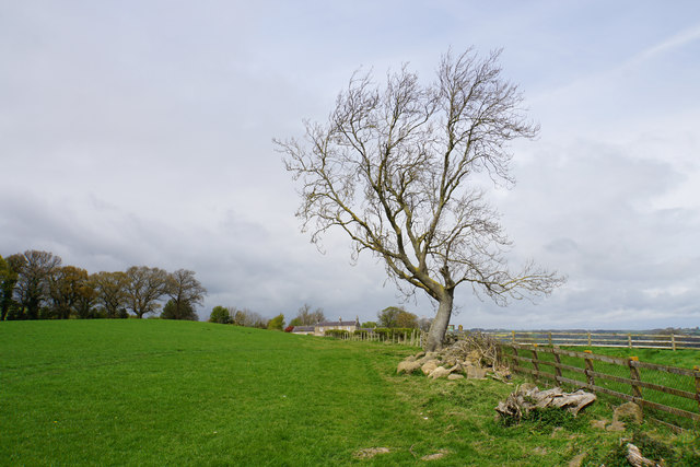
The woodlands of Maiden Green are home to a diverse range of flora and fauna, making it an ideal destination for wildlife lovers and birdwatchers. Ancient oak trees can be found scattered throughout the area, their towering presence adding a touch of grandeur to the landscape. The forest floor is adorned with a carpet of wildflowers in the spring, creating a colorful and magical setting.

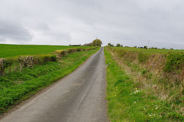
Several walking trails meander through the woodlands, providing visitors with the opportunity to explore the area at their own pace. These trails offer breathtaking views of the surrounding countryside and allow visitors to immerse themselves in the peaceful ambiance of the forest. The air is crisp and fresh, making it an ideal place for a leisurely stroll or a picnic with family and friends.

Maiden Green is also known for its historical significance, with remnants of ancient settlements and archaeological sites scattered throughout the area. These ancient ruins serve as a reminder of the rich history and heritage of the region.

Whether you are a nature lover, history enthusiast, or simply seeking a peaceful retreat, Maiden Green in Northumberland offers an idyllic escape into the serenity of nature.

If you have any feedback on the listing, please let us know in the comments section below.

Maiden Green Images

Images are sourced within 2km of 54.965128/-2.0027965 or Grid Reference NY9963. Thanks to Geograph Open Source API. All images are credited.

NCR 72 near High Barns Farm
B6530 at East Lodge
B6530 at East Lodge
B6530 at Howden Dene
Farnley Scar This bend in the river has always suffered from erosion hence its name, however the floods in late 2015 resulted in huge erosion and land slips into the River Tyne.
Farnley Scar
This bend in the river has always suffered from erosion hence its name, however the floods in late 2015 resulted in huge erosion and land slips into the River Tyne.
Farnley Scar and River Tyne The erosion from late 2015 is evident
Farnley Scar and River Tyne
The erosion from late 2015 is evident
Stile on pedestrian railway crossing , Newcastle to Carlisle line
Road (B6321) at Piperclose Looking south-westward.
Road (B6321) at Piperclose
Looking south-westward.
Road and Bridge crossing over the A69 Looking south-westward.
Road and Bridge crossing over the A69
Looking south-westward.
Minor road joining the B6350 at Styford Toll Bar Looking southward.
Minor road joining the B6350 at Styford Toll Bar
Looking southward.
Country lane at Riding Lea This lane just leads down to the A695 in the direction of Corbridge.
Country lane at Riding Lea
This lane just leads down to the A695 in the direction of Corbridge.
Path up to Riding Hills Here leaving the hamlet of Riding Lea.
Path up to Riding Hills
Here leaving the hamlet of Riding Lea.
Path down to Riding Lea Though not clear, the path follows the field edge. The hamlet of Riding Lea is at the bottom of the slope.
Path down to Riding Lea
Though not clear, the path follows the field edge. The hamlet of Riding Lea is at the bottom of the slope.
Young wheat field above Riding Lea This hillside gives views of the Tyne valley.
Young wheat field above Riding Lea
This hillside gives views of the Tyne valley.
Exposed tree on the way to Riding Hills On the eastern slopes of Prospect Hill.
Exposed tree on the way to Riding Hills
On the eastern slopes of Prospect Hill.
Track near Riding Hills The hillside gives views into the Tyne valley.
Track near Riding Hills
The hillside gives views into the Tyne valley.
Lane up to Prospect Hill A steady climb to the top of the hill. Once you are on the top, the prospect is not as good as you are led to believe.
Lane up to Prospect Hill
A steady climb to the top of the hill. Once you are on the top, the prospect is not as good as you are led to believe.
Ordnance Survey Flush Bracket G2749 This bracket can be found on the wall of a house - private dwelling - at Piperclose. The benchmark height is recorded as being 95.797 metres above sea level.
For more detail see : <span class="nowrap"><a title="http://www.bench-marks.org.uk/bm14896" rel="nofollow ugc noopener" href="http://www.bench-marks.org.uk/bm14896">Link</a><img style="margin-left:2px;" alt="External link" title="External link - shift click to open in new window" src="https://s1.geograph.org.uk/img/external.png" width="10" height="10"/></span>
Ordnance Survey Flush Bracket G2749
This bracket can be found on the wall of a house - private dwelling - at Piperclose. The benchmark height is recorded as being 95.797 metres above sea level. For more detail see : LinkExternal link
Ordnance Survey Flush Bracket S026 This bracket can be found on the wall of Styford Lodge - a private dwelling. The benchmark height is recorded as being 85.685 metres above sea level.
For more detail see : <span class="nowrap"><a title="http://www.bench-marks.org.uk/bm11475" rel="nofollow ugc noopener" href="http://www.bench-marks.org.uk/bm11475">Link</a><img style="margin-left:2px;" alt="External link" title="External link - shift click to open in new window" src="https://s1.geograph.org.uk/img/external.png" width="10" height="10"/></span>
Ordnance Survey Flush Bracket S026
This bracket can be found on the wall of Styford Lodge - a private dwelling. The benchmark height is recorded as being 85.685 metres above sea level. For more detail see : LinkExternal link
Show me another place!

Maiden Green is located at Grid Ref: NY9963 (Lat: 54.965128, Lng: -2.0027965)

Unitary Authority: Northumberland

Police Authority: Northumbria

What 3 Words

///riddle.rent.tidal. Near Corbridge, Northumberland

Related Wikis

Corbridge railway station

Corbridge is a railway station on the Tyne Valley Line, which runs between Newcastle and Carlisle via Hexham. The station, situated 19 miles 15 chains...

Corbridge Bridge

Corbridge Bridge is a 17th-century stone bridge across the River Tyne at Corbridge, Northumberland, England. The bridge used to carry the A68 road over...

Battle of Corbridge

The Battle of Corbridge took place on the banks of the River Tyne near the village of Corbridge in Northumberland in the year 918. The battle was referenced...

Corbridge Town Hall

Corbridge Town Hall is a municipal building in Princes Street in Corbridge, Northumberland, England. The building, which is now in commercial use, is a...

Nearby Amenities

Located within 500m of 54.965128,-2.0027965
Bus Stop
Bus: yes
Public Transport: platform
Lat/Long: 54.9623183/-2.0083018
Bus Stop
Bench: no
Bin: yes
Bus: yes
Departures Board: timetable
Public Transport: platform
Shelter: no
Lat/Long: 54.9621546/-2.0073161
Heritage: yes
Wikidata: Q26651776
Lat/Long: 54.9632216/-1.9993642
Heritage: yes
Wikidata: Q26296836
Lat/Long: 54.9638807/-2.0014724
The data included in this document is from www.openstreetmap.org. The data is made available under ODbL.

Have you been to Maiden Green?

Leave your review of Maiden Green below (or comments, questions and feedback).