King's Wood
Wood, Forest in Dorset
England
King's Wood
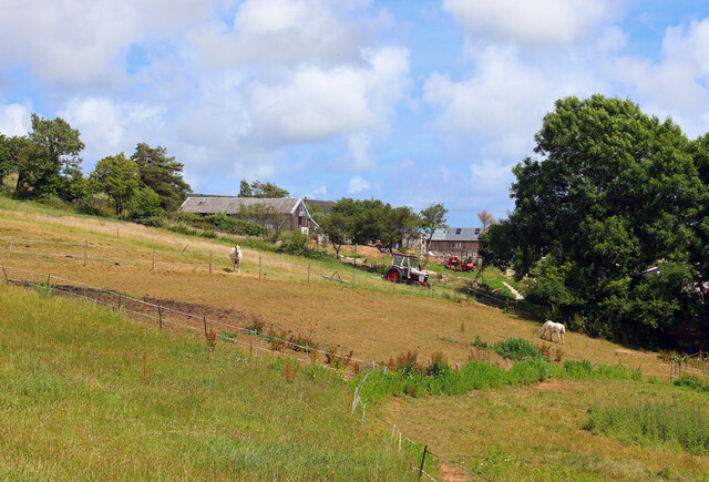
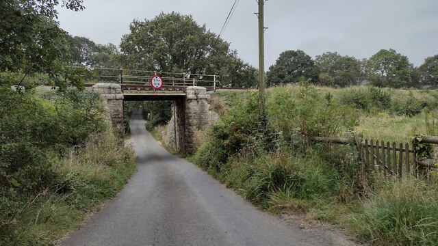
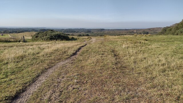
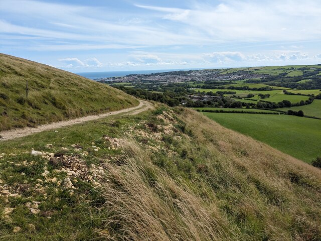
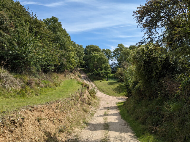
King's Wood is a large and ancient woodland located in the county of Dorset, England. Covering an area of approximately 2,000 acres, the wood is situated near the village of Bloxworth and is part of the wider Wareham Forest complex. The wood is named after King Henry VIII, who historically hunted in the area.
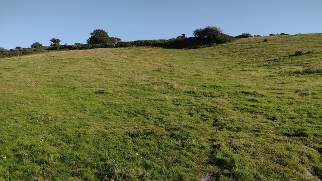
King's Wood is predominantly composed of broadleaf trees, including oak, beech, and ash, which create a diverse and vibrant ecosystem. The wood is also home to a variety of wildlife, including deer, foxes, badgers, and numerous bird species. The dense vegetation and sheltered areas provide excellent habitats for these animals.
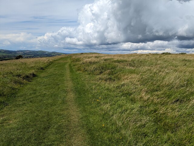
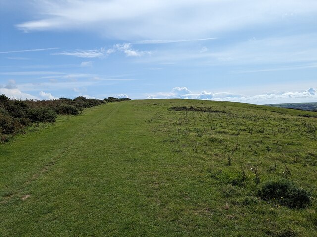
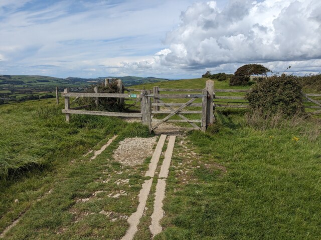
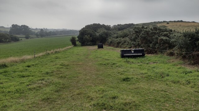
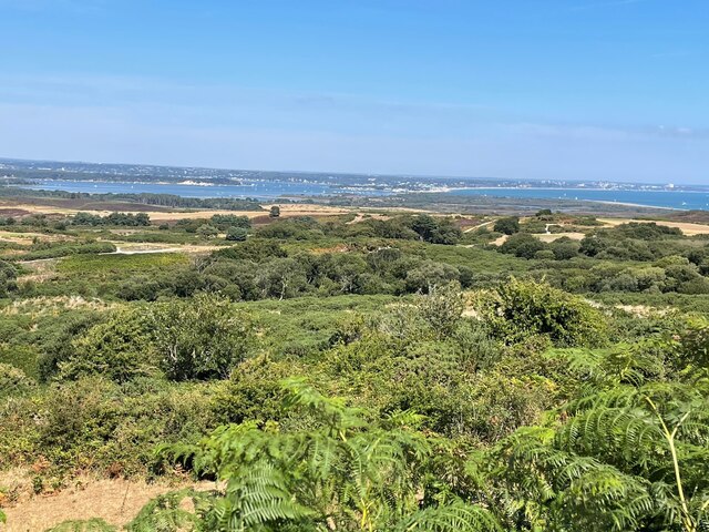
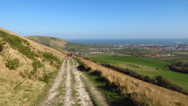
The wood has a rich history, dating back to at least the medieval period. It has been managed by the Forestry Commission since the early 20th century, ensuring its preservation and sustainable use. King's Wood offers numerous walking trails, allowing visitors to explore its natural beauty and discover its hidden treasures.
In addition to its natural attractions, King's Wood also has cultural and historical significance. It is home to several ancient earthworks and archaeological sites, including the remains of Roman settlements and Iron Age hillforts. These remnants of the past provide valuable insights into the area's long and varied history.
Overall, King's Wood is a cherished natural and historical asset of Dorset. Its picturesque landscapes, diverse wildlife, and intriguing heritage make it an ideal destination for nature enthusiasts and history buffs alike.
If you have any feedback on the listing, please let us know in the comments section below.
King's Wood Images
Images are sourced within 2km of 50.634248/-2.0025209 or Grid Reference SY9981. Thanks to Geograph Open Source API. All images are credited.
King's Wood is located at Grid Ref: SY9981 (Lat: 50.634248, Lng: -2.0025209)
Unitary Authority: Dorset
Police Authority: Dorset
What 3 Words
///flown.ballparks.cinemas. Near Swanage, Dorset
Nearby Locations
Related Wikis

Rempstone Stone Circle
Rempstone Stone Circle (grid reference SY994820) is a stone circle located near to Corfe Castle on the Isle of Purbeck in the south-western English county...

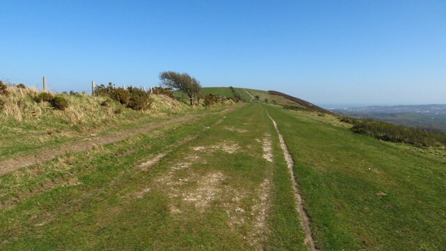
Nine Barrow Down
Nine Barrow Down is an elongated hill forming the northern ridge of the Purbeck Hills on the Isle of Purbeck in Dorset, England. The chalk down is part...

Rowbarrow Hundred
Rowbarrow Hundred or Rowberrow Hundred was a hundred in the county of Dorset, England, containing the following parishes: Langton Matravers Studland Swanage...

Woolgarston
Woolgarston is a village in Dorset, England. == External links == Media related to Woolgarston at Wikimedia Commons

Brenscombe Heath
Brenscombe Heath (grid reference SY985829) is a 34.7 hectare biological Site of Special Scientific Interest in Corfe Castle, Dorset, notified in 1985....

Harman's Cross
Harman's Cross is a small village on the Isle of Purbeck in Dorset, England. It is situated on the A351 road between Swanage and Corfe Castle. The village...

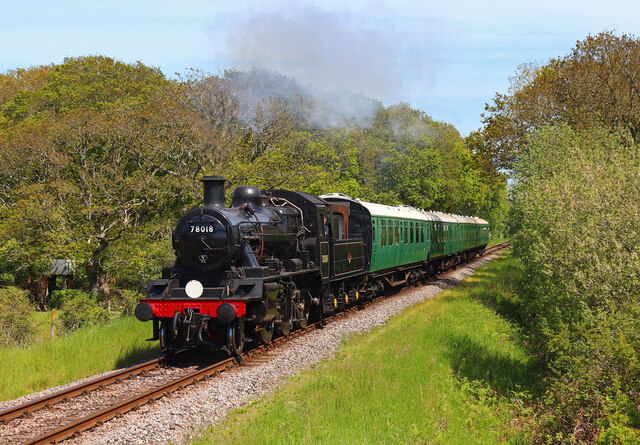
Harman's Cross railway station
Harman's Cross railway station is a railway station located in the village of Harman's Cross, on the Isle of Purbeck in the English county of Dorset. It...

Ballard Down
Ballard Down is an area of chalk downland on the Purbeck Hills in the English county of Dorset. The hills meet the English Channel here, and Ballard Down...
Nearby Amenities
Located within 500m of 50.634248,-2.0025209Have you been to King's Wood?
Leave your review of King's Wood below (or comments, questions and feedback).