Green Haw Wood
Wood, Forest in Yorkshire Craven
England
Green Haw Wood
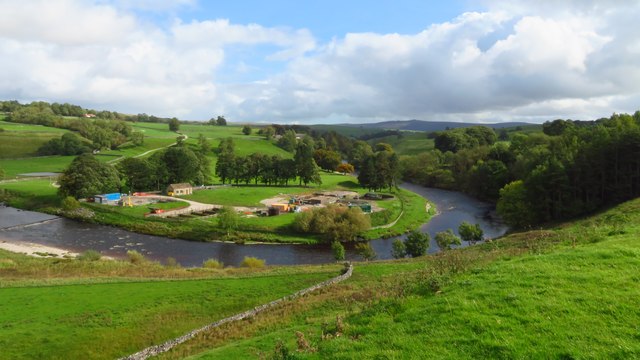
Green Haw Wood is a picturesque woodland located in the county of Yorkshire, England. Spanning over a vast area of land, this enchanting forest is known for its lush greenery, diverse wildlife, and tranquil atmosphere. The wood is situated near the small village of Haw, which adds to its charm and accessibility.
The wood itself is a combination of deciduous and coniferous trees, creating a harmonious blend of colors throughout the year. In spring, the forest comes alive with vibrant blossoms and chirping birds, while in autumn, it transforms into a captivating display of golden hues. The trees provide a canopy of shade, allowing for pleasant walks and a respite from the summer heat.
Green Haw Wood is home to a wide variety of wildlife, making it a haven for nature enthusiasts and photographers. Visitors can spot deer, foxes, rabbits, and a multitude of bird species as they explore the woodland trails. The forest also features a small stream that meanders through its heart, adding to its idyllic charm.
With several well-marked paths and picnic spots, Green Haw Wood is a popular destination for outdoor activities. Families and individuals can enjoy leisurely walks, bike rides, or even set up a picnic amidst the beauty of nature. The wood also offers opportunities for nature study and education, with its diverse range of flora and fauna.
In summary, Green Haw Wood in Yorkshire is a captivating woodland that offers a tranquil escape from the hustle and bustle of everyday life. With its breathtaking scenery, abundant wildlife, and recreational facilities, it is a must-visit destination for nature lovers and those seeking solace in the great outdoors.
If you have any feedback on the listing, please let us know in the comments section below.
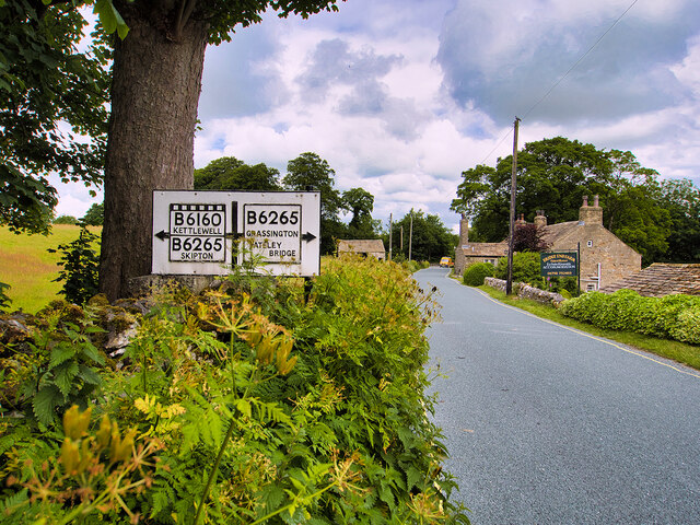
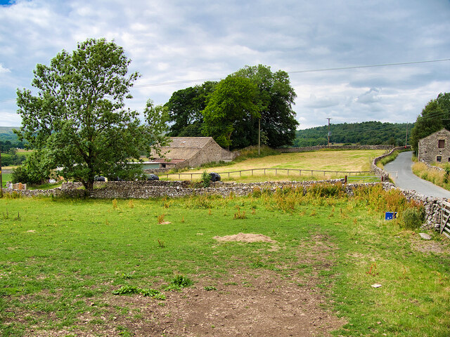
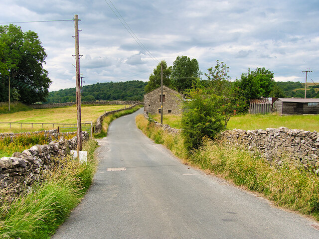
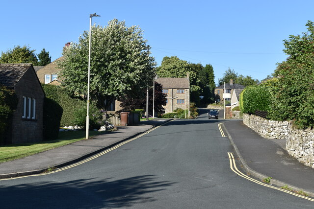
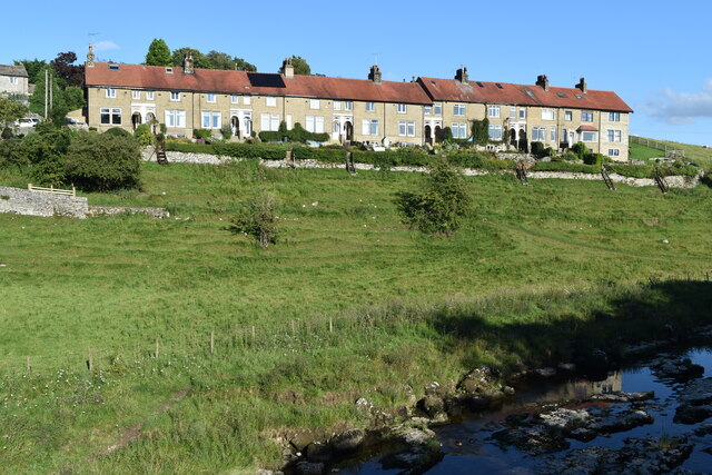
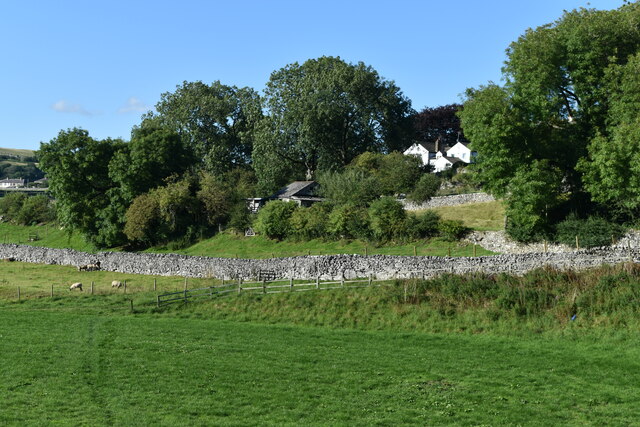
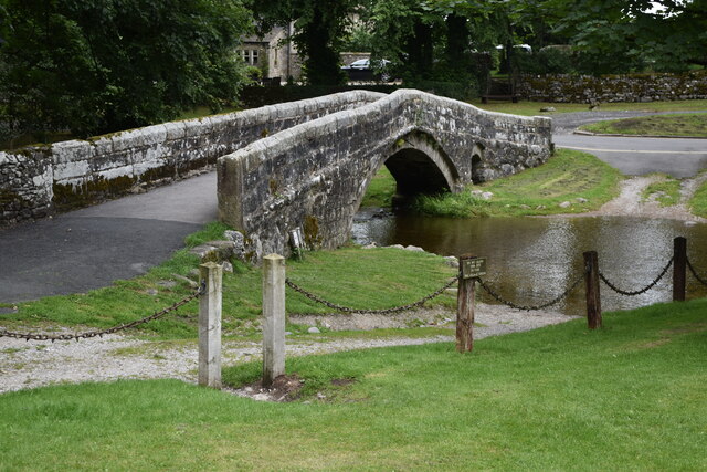
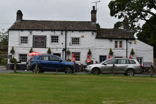
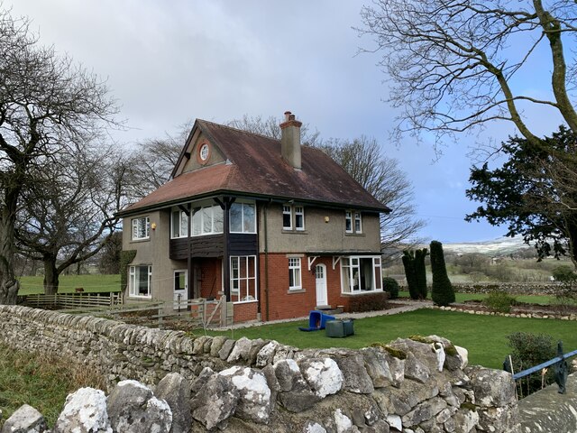
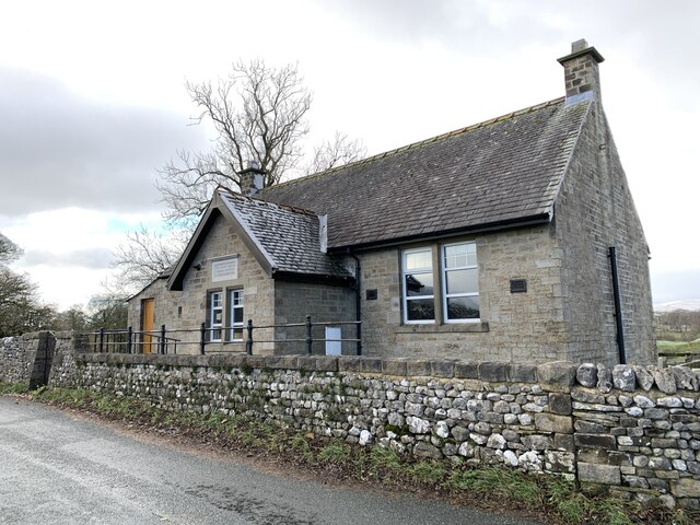
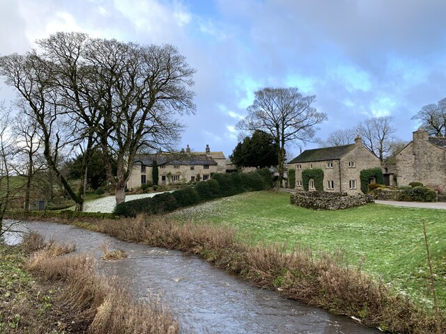
Green Haw Wood Images
Images are sourced within 2km of 54.066621/-2.0026537 or Grid Reference SD9963. Thanks to Geograph Open Source API. All images are credited.


Green Haw Wood is located at Grid Ref: SD9963 (Lat: 54.066621, Lng: -2.0026537)
Division: West Riding
Administrative County: North Yorkshire
District: Craven
Police Authority: North Yorkshire
What 3 Words
///rucksack.demotion.viewers. Near Grassington, North Yorkshire
Nearby Locations
Related Wikis

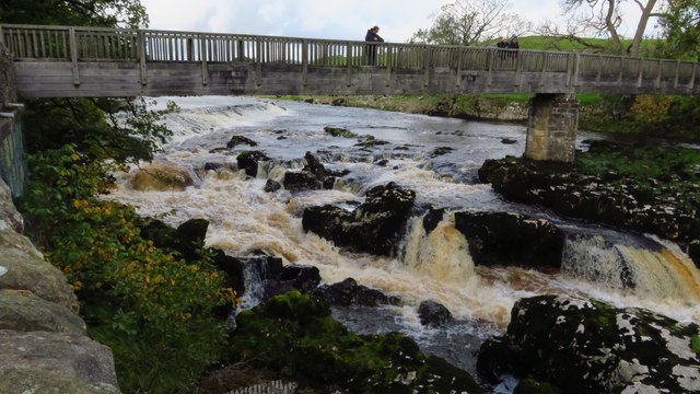
Linton Falls Hydro
Linton Falls Hydro is a hydroelectric generating power station located on the Linton Falls Weir of the River Wharfe, near Grassington, North Yorkshire...

Grassington
Grassington is a village and civil parish in North Yorkshire, England. The population of the parish at the 2011 Census was 1,126. Historically part of...

Grassington & Threshfield railway station
Grassington & Threshfield railway station (or Threshfield station) was a railway station that served the town of Grassington and village of Threshfield...

Linton, North Yorkshire
Linton is a village and civil parish in the Craven district of North Yorkshire, England. The population as of the 2011 census was 176. It lies not far...
Upper Wharfedale School
Upper Wharfedale School is a coeducational secondary school located in Threshfield, North Yorkshire, England. The school is named after Wharfedale, one...
Threshfield
Threshfield is a small village and civil parish in the Craven district of North Yorkshire, England with a population of 980 residents, reducing to 968...

Thorpe, North Yorkshire
Thorpe is a village and civil parish in the Craven district of North Yorkshire, England. It is 2 miles (3 km) south of Grassington and 6 miles (10 km)...
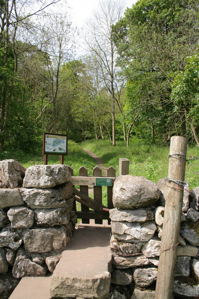
Grass Wood, Wharfedale
Grass Wood is an ancient woodland of 88 hectares (220 acres) in Wharfedale, North Yorkshire, England, that has an exceptional ground flora of woodland...
Nearby Amenities
Located within 500m of 54.066621,-2.0026537Have you been to Green Haw Wood?
Leave your review of Green Haw Wood below (or comments, questions and feedback).