Captain's Wood
Wood, Forest in Dorset
England
Captain's Wood
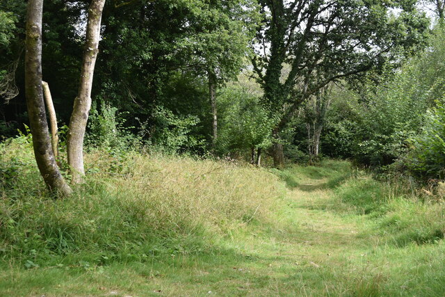
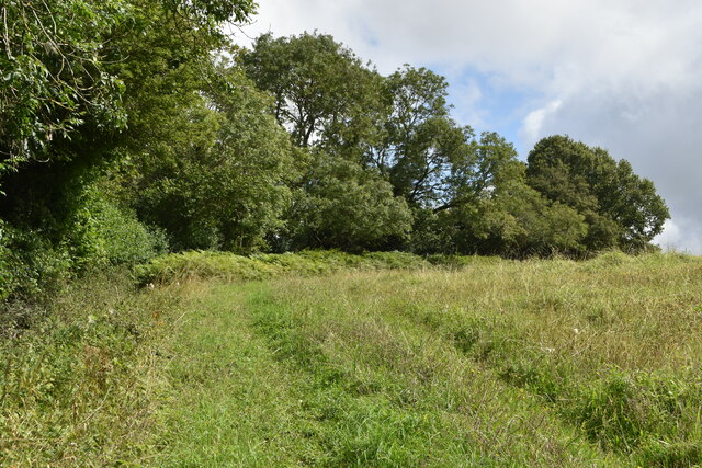
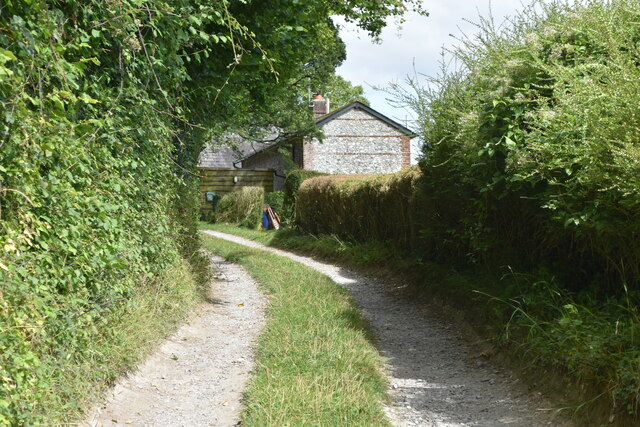
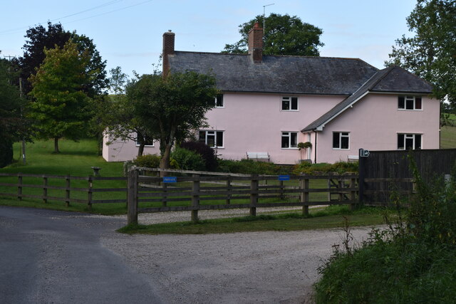
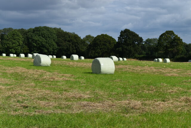
Captain's Wood is a picturesque woodland located in the county of Dorset, England. Situated just outside the small village of Puddletown, this woodland covers an area of approximately 50 hectares and is renowned for its natural beauty and biodiversity.
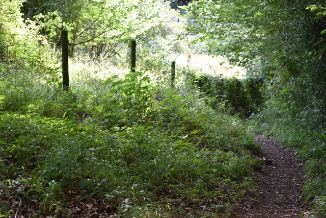
The wood is primarily made up of a mixture of deciduous and coniferous trees, including oak, beech, and pine. These towering trees create a dense canopy, providing a habitat for a wide variety of wildlife. Visitors to Captain's Wood can expect to see an array of bird species, such as woodpeckers, owls, and songbirds, as well as small mammals like squirrels and rabbits.
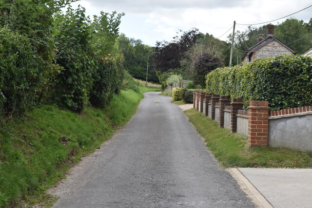
Tranquil walking trails wind their way through the wood, offering visitors the opportunity to immerse themselves in nature and enjoy the peaceful surroundings. The paths are well-maintained and suitable for all ages and abilities, making it an ideal destination for families and nature enthusiasts alike.
In addition to its natural beauty, Captain's Wood also has historical significance. The woodland is believed to have been named after Captain Thomas Hardy, a naval officer who was born in nearby Dorchester and played a significant role in the Battle of Trafalgar.
Overall, Captain's Wood in Dorset is a charming and serene forest, providing a haven for both wildlife and those seeking a peaceful escape into nature. Whether it's a leisurely stroll or a bird-watching expedition, this woodland offers an abundance of natural wonders to be explored and appreciated.
If you have any feedback on the listing, please let us know in the comments section below.
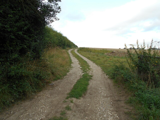
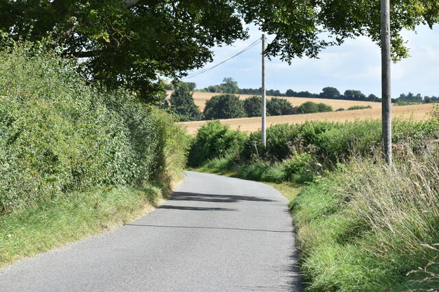
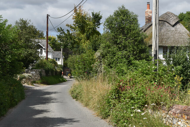
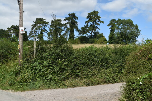
Captain's Wood Images
Images are sourced within 2km of 50.974121/-2.0024415 or Grid Reference ST9919. Thanks to Geograph Open Source API. All images are credited.


Captain's Wood is located at Grid Ref: ST9919 (Lat: 50.974121, Lng: -2.0024415)
Unitary Authority: Dorset
Police Authority: Dorset
What 3 Words
///sidelined.quicksand.blockage. Near Bower Chalke, Wiltshire
Nearby Locations
Related Wikis

Garston Wood
Garston Wood is a 34-hectare (84-acre) woodland nature reserve on the border between Dorset and Wiltshire in England, around 3 km (2 mi) north of the village...

Sixpenny Handley
Sixpenny Handley or Handley is a village and former civil parish, now in the parish of Sixpenny Handley and Pentridge, in north east Dorset, England,...

Bowerchalke Downs
Bowerchalke Downs (grid reference SU004218) (also known as Woodminton, Marleycombe Down and Knowle Down), is a 134 hectares (330 acres) biological Site...

Wor Barrow
Wor Barrow is a Neolithic long barrow on Cranborne Chase, about 1 mile (1.6 km) east of Sixpenny Handley in Dorset, England. It is a scheduled monument...
Nearby Amenities
Located within 500m of 50.974121,-2.0024415Have you been to Captain's Wood?
Leave your review of Captain's Wood below (or comments, questions and feedback).