Mattshill Wood

Wood, Forest in Gloucestershire Cotswold

England

Mattshill Wood

Communication Mast, St Paul's Epistle Sited near the summit of St.Paul's Epistle this communications mast overlooks the A436 and much lower down in the valley the A40.
Communication Mast, St Paul's Epistle Credit: Terry Jacombs

Mattshill Wood is a sprawling woodland located in the county of Gloucestershire, in southwestern England. Spanning an area of approximately 100 acres, it is a captivating destination for nature enthusiasts and those seeking solace in the beauty of the great outdoors.

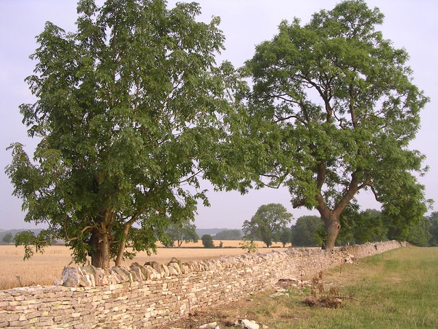
This ancient woodland is known for its diverse range of flora and fauna, making it a haven for wildlife. The dense canopy of trees, primarily consisting of oak and beech, provides a habitat for numerous species of birds, mammals, and insects. It is not uncommon to spot deer, foxes, and rabbits roaming freely within the wood.

Traversing through Mattshill Wood is made easy by a network of well-maintained footpaths, which allow visitors to explore its enchanting corners. The wood is particularly renowned for its carpet of bluebells that bloom in the spring, creating a breathtaking spectacle of color and fragrance. In addition to bluebells, the woodland floor is adorned with wild garlic, wood sorrel, and other wildflowers.

Beyond its natural beauty, Mattshill Wood has historical significance as well. It is believed to have been in existence since medieval times, and remnants of old ditches and banks can still be found within the woodland. These features serve as a reminder of its past use as common land and highlight its contribution to the local heritage.

Mattshill Wood is a cherished gem in Gloucestershire, offering an idyllic retreat for those seeking tranquility and a chance to connect with nature. Whether it be a leisurely stroll, birdwatching, or simply enjoying a picnic amidst the stunning surroundings, this woodland provides a captivating experience for visitors of all ages.

If you have any feedback on the listing, please let us know in the comments section below.

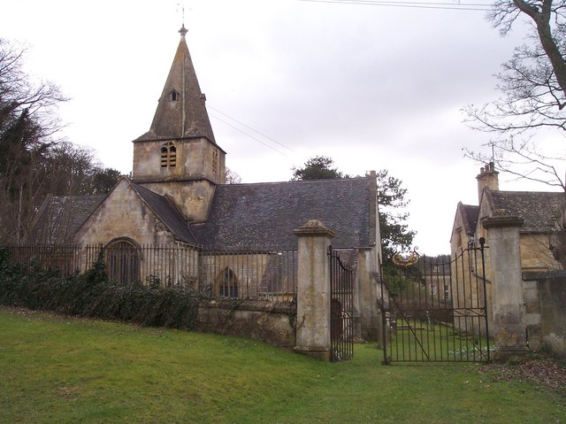
Mattshill Wood Images

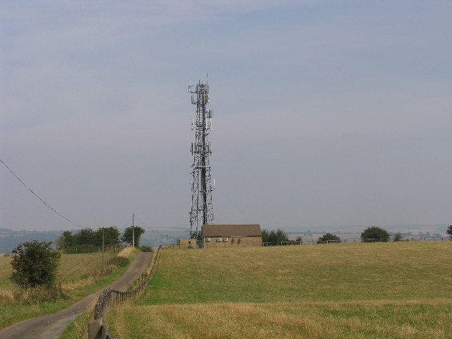
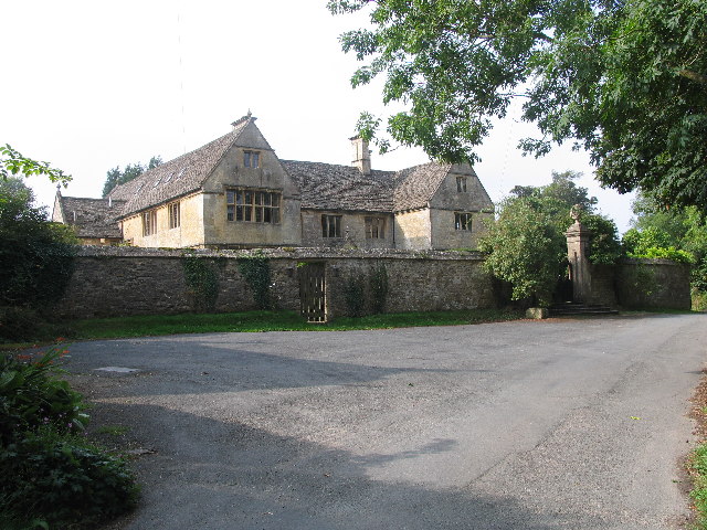
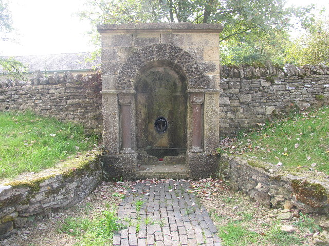
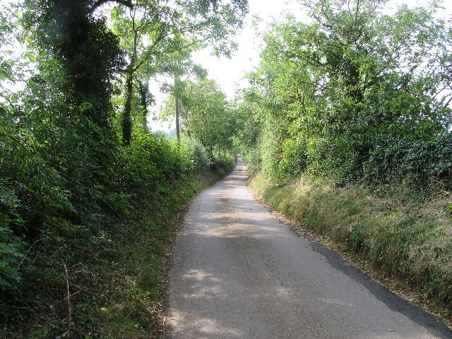
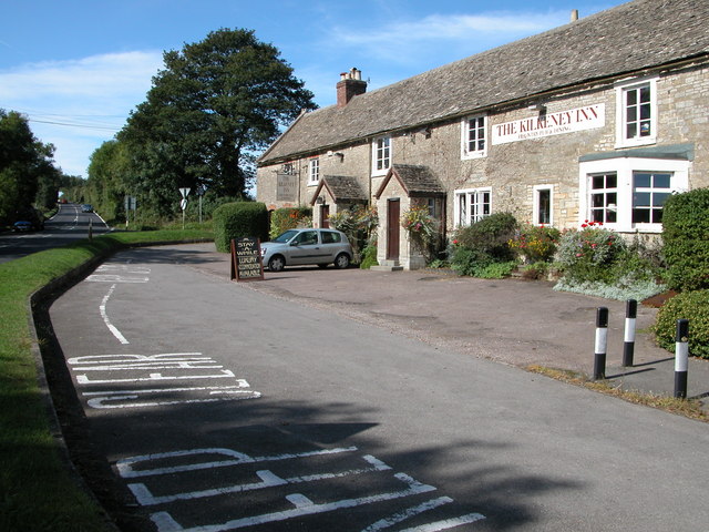
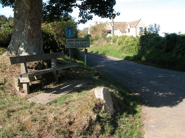
Images are sourced within 2km of 51.86142/-2.0129933 or Grid Reference SO9918. Thanks to Geograph Open Source API. All images are credited.

Communication Mast, St Paul's Epistle Sited near the summit of St.Paul's Epistle this communications mast overlooks the A436 and much lower down in the valley the A40.
Communication Mast, St Paul's Epistle
Sited near the summit of St.Paul's Epistle this communications mast overlooks the A436 and much lower down in the valley the A40.
A436 at Kilkenny The A436 runs across this square east to west and carries a heavy volume of traffic heading for the M5 from the A40, avoiding Cheltenham, on a narrow A road.
A436 at Kilkenny
The A436 runs across this square east to west and carries a heavy volume of traffic heading for the M5 from the A40, avoiding Cheltenham, on a narrow A road.
The Manor House, Upper Dowdeswell Situated on a dead end lane off a quiet cross country lane, the hamlet of Upper Dowdeswell and its old manor house sees few visitors.
The Manor House, Upper Dowdeswell
Situated on a dead end lane off a quiet cross country lane, the hamlet of Upper Dowdeswell and its old manor house sees few visitors.
Public Water Tap, Upper Dowdeswell This water tap is housed in a purpose built alcove in the walls of the Manor House.
Public Water Tap, Upper Dowdeswell
This water tap is housed in a purpose built alcove in the walls of the Manor House.
Gloucestershire Way near St Paul's Epistle This lane which runs from Kilkenny to Hilcot forms part of the Gloucestershire Way for about a kilometre here.
Gloucestershire Way near St Paul's Epistle
This lane which runs from Kilkenny to Hilcot forms part of the Gloucestershire Way for about a kilometre here.
The Kilkenny Inn, Kilkenny The inn is well situated at the junction of four roads.
The Kilkenny Inn, Kilkenny
The inn is well situated at the junction of four roads.
Upper Dowdeswell Seat under a tree at the road junction for Upper Dowdeswell.
Upper Dowdeswell
Seat under a tree at the road junction for Upper Dowdeswell.
Restoration of Dry Stone Wall
Andoversford Relay Transmitter The transmitter and mast are operated by Arqiva, part of a multinational communications conglomerate with Australian roots, Macquaries.  The site was originally built for the Independent Broadcasting Authority and is an analogue TV relay station for Ridge Hill transmitter nr Much Marcle.
Andoversford Relay Transmitter
The transmitter and mast are operated by Arqiva, part of a multinational communications conglomerate with Australian roots, Macquaries. The site was originally built for the Independent Broadcasting Authority and is an analogue TV relay station for Ridge Hill transmitter nr Much Marcle.
Gloucestershire way towards Foxcote
Footpath towards A436
Road climbing towards St Paul's Epistle
St Paul's Epistle
St Paul's Epistle
Entrance to Kilkenny viewpoint
Upper Dowdeswell only The minor road across the image runs from Kilkenny to the A40.
Upper Dowdeswell only
The minor road across the image runs from Kilkenny to the A40.
Old quarry workings at the Kilkenny viewpoint
Picnic table at the Kilkenny viewpoint
Reservoir cover By footpath (Gloucestershire Way) with remains of stile
Reservoir cover
By footpath (Gloucestershire Way) with remains of stile
Show me another place!

Mattshill Wood is located at Grid Ref: SO9918 (Lat: 51.86142, Lng: -2.0129933)

Administrative County: Gloucestershire

District: Cotswold

Police Authority: Gloucestershire

What 3 Words

///tolerable.digress.frown. Near Charlton Kings, Gloucestershire

Related Wikis

Lineover Wood

Lineover Wood (grid reference SO987187) is a 20.3-hectare (50-acre) biological Site of Special Scientific Interest in Gloucestershire, notified in 1986...

Dowdeswell Reservoir

Dowdeswell Reservoir and former water treatment works lie below the parish of Dowdeswell in Gloucestershire. They were originally built by Cheltenham...

A40 road

The A40 is a trunk road which runs between London and Goodwick (Fishguard), Wales, and officially called The London to Fishguard Trunk Road (A40) in all...

Dowdeswell

Dowdeswell is a civil parish in the ward of Chedworth, Cotswold, in the ceremonial county of Gloucestershire, England. It is separated into Upper and Lower...

Related Videos

You Couldn’t make this up, even if you tried 😂 #travel #vanlife #travelblog #motorhome #funny #love

Funny times with the Brummies you couldn't even plan this even if you tried!! #travelvlog #motorhome #vanlife #campervan ...

Nearby Amenities

Located within 500m of 51.86142,-2.0129933
Pegglesworth
Place: hamlet
Source: knowledge
Lat/Long: 51.8648096/-2.0102952
Parking
Description: Layby
Lat/Long: 51.8651261/-2.0157547
The data included in this document is from www.openstreetmap.org. The data is made available under ODbL.

Have you been to Mattshill Wood?

Leave your review of Mattshill Wood below (or comments, questions and feedback).