Wakesdean Wood
Wood, Forest in Wiltshire
England
Wakesdean Wood
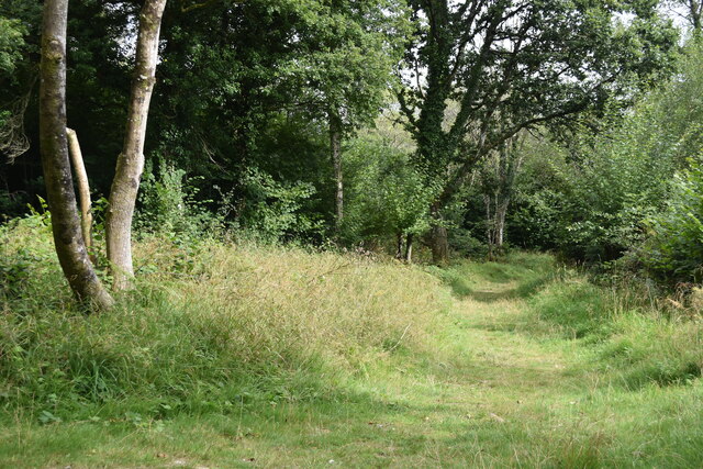
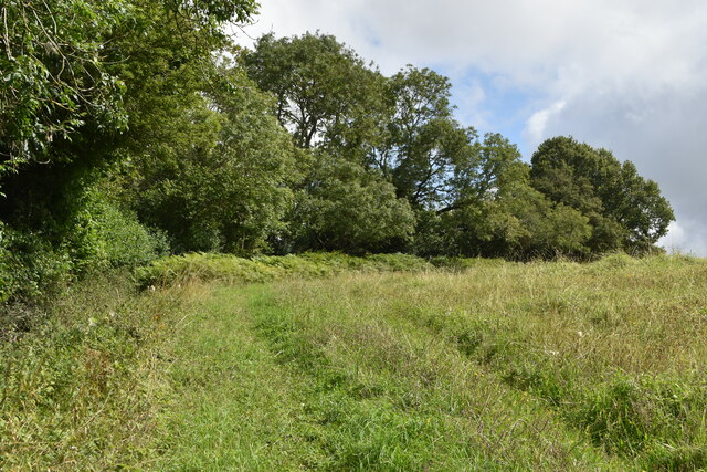
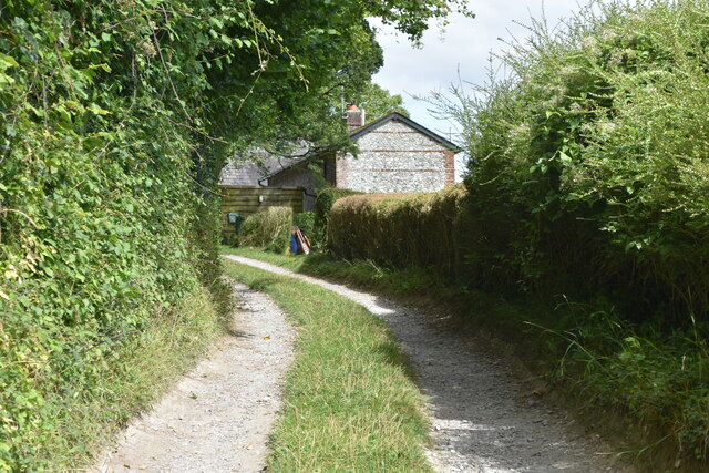
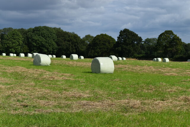
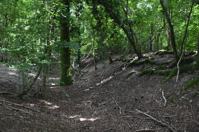
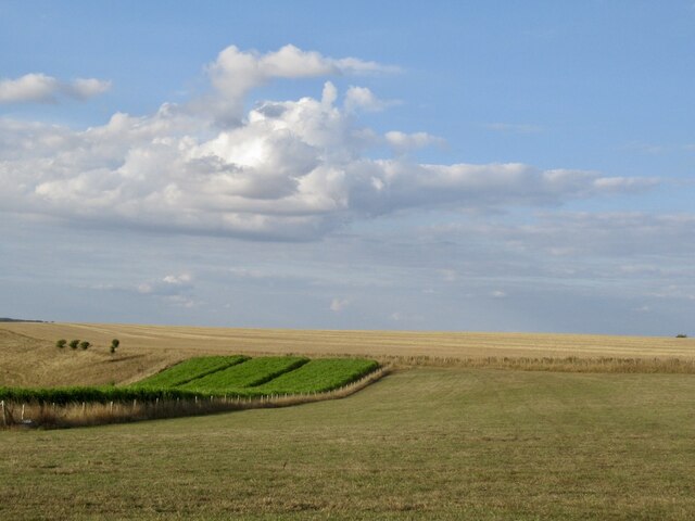
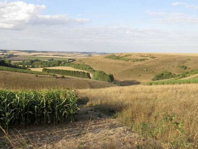
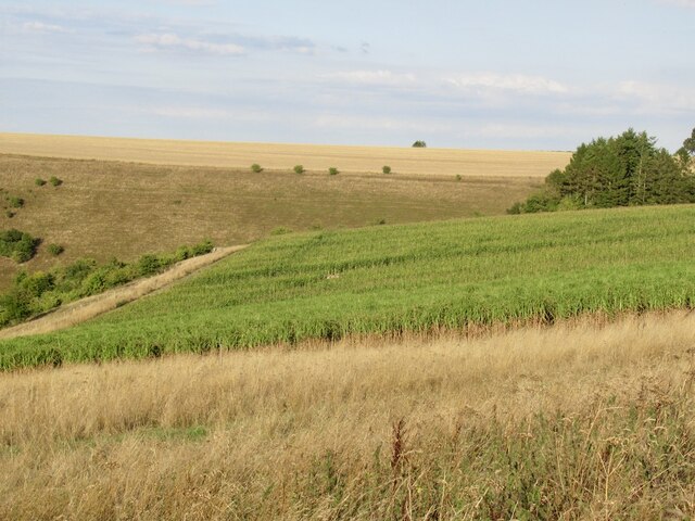
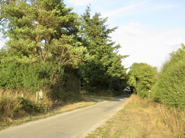
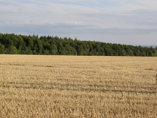
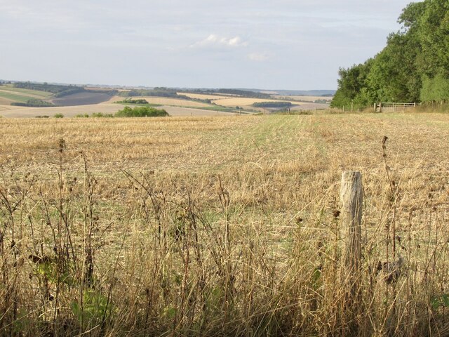
Wakesdean Wood is a beautiful woodland located in the county of Wiltshire, England. Covering an area of approximately 50 acres, it is a prominent natural feature in the region. The wood is situated on a gentle slope, with a mixture of deciduous and coniferous trees creating a diverse and vibrant ecosystem.
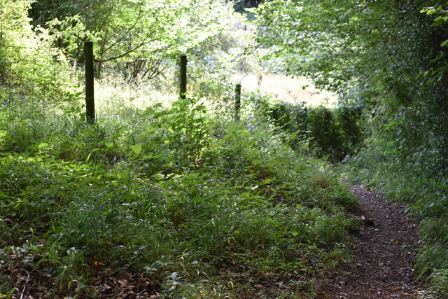
The wood is home to a variety of wildlife, including deer, badgers, foxes, and a wide range of bird species. It provides a crucial habitat for these creatures, offering shelter, food, and nesting opportunities. The woodland floor is covered in a thick carpet of moss and ferns, creating a lush and verdant environment.
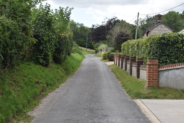
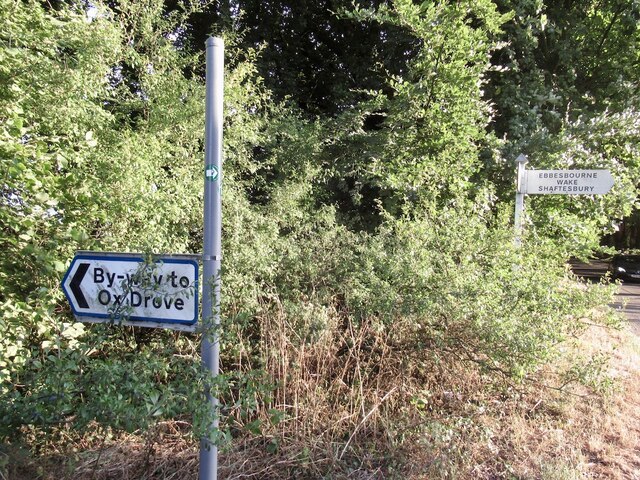
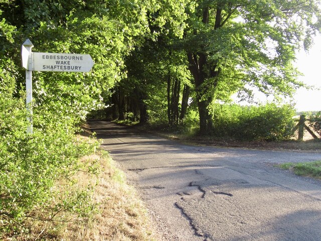
Wakesdean Wood is a popular destination for nature enthusiasts and hikers alike. It offers a network of well-maintained paths and trails, allowing visitors to explore the wood at their own pace. The tranquil atmosphere and breathtaking scenery make it a perfect spot for relaxation and contemplation.
In addition to its natural beauty, Wakesdean Wood also holds historical significance. The wood has been designated as a Site of Special Scientific Interest (SSSI) due to its diverse flora and fauna. It is also believed to have been in existence since at least the medieval period, with remnants of ancient boundary ditches and earthworks still visible today.
Overall, Wakesdean Wood is a remarkable woodland that showcases the beauty and diversity of nature in Wiltshire. Its combination of stunning landscapes, rich biodiversity, and historical significance make it a must-visit destination for nature lovers and history enthusiasts alike.
If you have any feedback on the listing, please let us know in the comments section below.
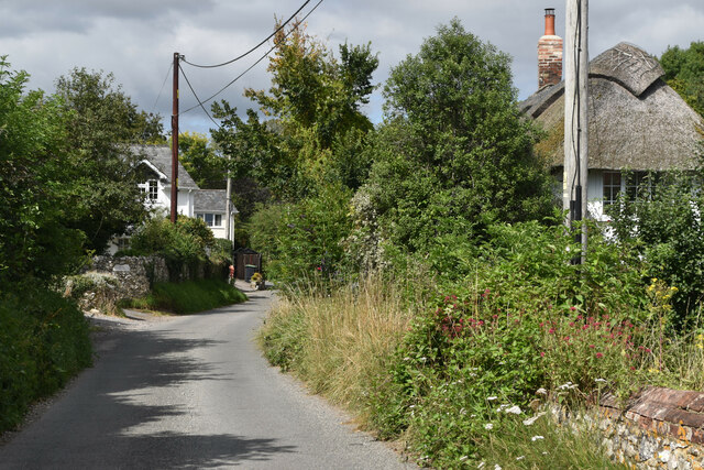
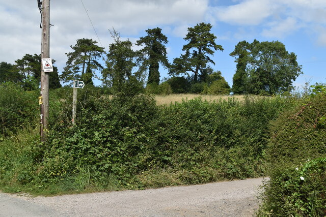
Wakesdean Wood Images
Images are sourced within 2km of 50.982798/-2.0130406 or Grid Reference ST9920. Thanks to Geograph Open Source API. All images are credited.
Wakesdean Wood is located at Grid Ref: ST9920 (Lat: 50.982798, Lng: -2.0130406)
Unitary Authority: Wiltshire
Police Authority: Wiltshire
What 3 Words
///method.litters.gentlemen. Near Bower Chalke, Wiltshire
Nearby Locations
Related Wikis

Garston Wood
Garston Wood is a 34-hectare (84-acre) woodland nature reserve on the border between Dorset and Wiltshire in England, around 3 km (2 mi) north of the village...

Bowerchalke Downs
Bowerchalke Downs (grid reference SU004218) (also known as Woodminton, Marleycombe Down and Knowle Down), is a 134 hectares (330 acres) biological Site...

Pincombe Down
Pincombe Down (grid reference ST966217) is a 23.8 hectare biological Site of Special Scientific Interest in southwest Wiltshire, England, notified in 1971...

Sixpenny Handley
Sixpenny Handley or Handley is a village and former civil parish, now in the parish of Sixpenny Handley and Pentridge, in north east Dorset, England,...
Nearby Amenities
Located within 500m of 50.982798,-2.0130406Have you been to Wakesdean Wood?
Leave your review of Wakesdean Wood below (or comments, questions and feedback).