Stonedown Wood
Wood, Forest in Wiltshire
England
Stonedown Wood
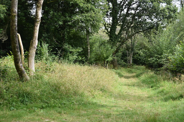
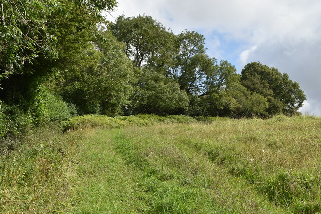
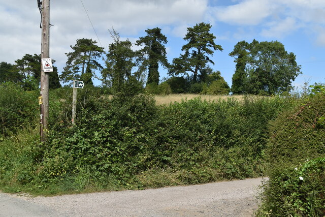
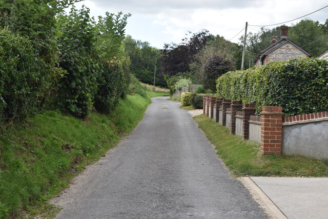
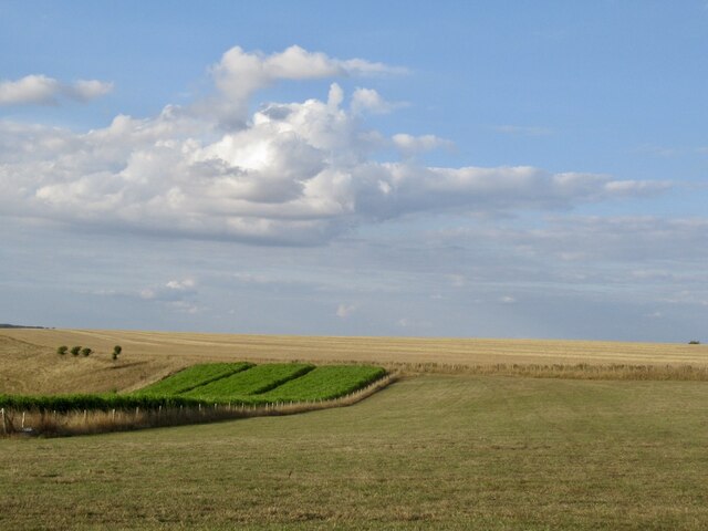
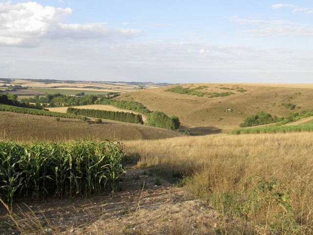
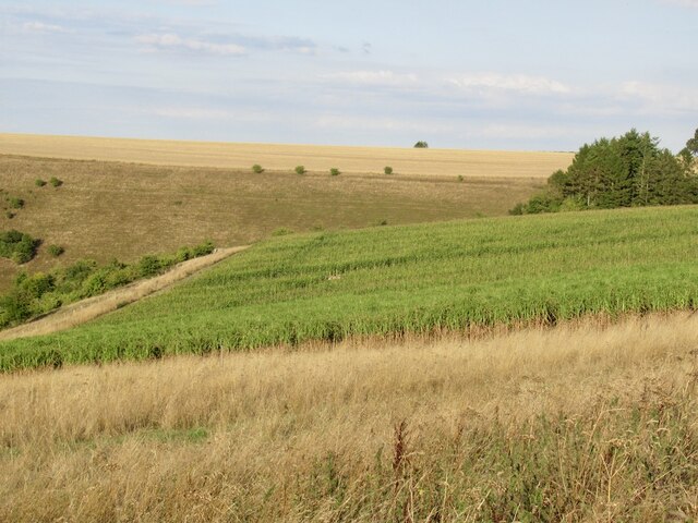
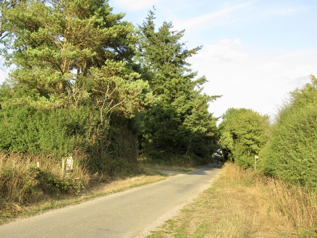
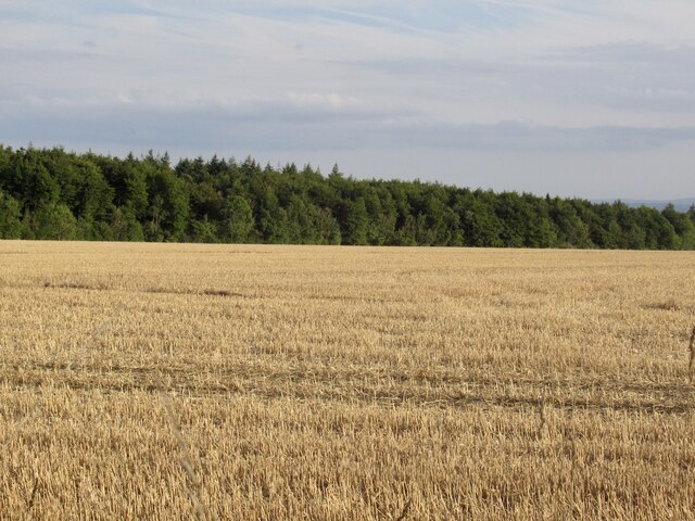
Stonedown Wood is a picturesque woodland located in the county of Wiltshire, England. Situated near the town of Devizes, this enchanting forest covers an area of approximately 200 acres, making it a significant natural attraction in the region. The wood is nestled within the rolling hills and valleys of the Wiltshire countryside, providing visitors with a serene and tranquil environment to explore.
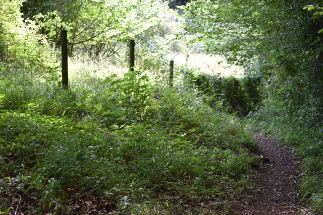
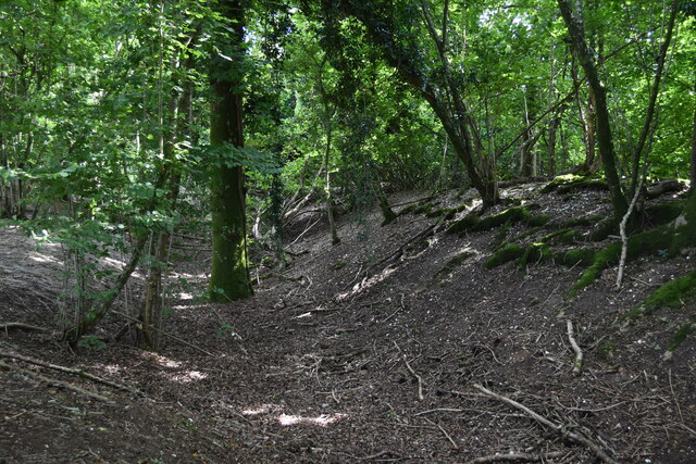
Stonedown Wood is predominantly made up of deciduous trees, including oak, beech, and ash, which create a rich and diverse ecosystem. The canopy of the trees forms a dense cover, casting dappled sunlight onto the forest floor and creating a magical atmosphere. The woodland is also home to several species of wildlife, such as deer, badgers, and a variety of bird species, making it a popular destination for nature enthusiasts and birdwatchers.
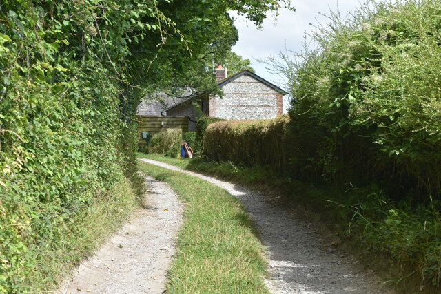
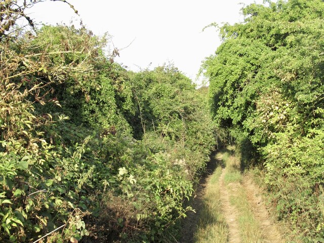
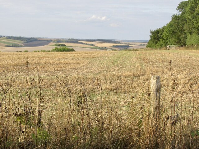
There are several well-maintained walking trails that wind through Stonedown Wood, allowing visitors to immerse themselves in the natural beauty of the surroundings. These paths provide opportunities to witness the changing seasons, from vibrant displays of bluebells in the spring to the golden hues of autumn foliage.
Stonedown Wood is not only a haven for nature lovers but also serves as an important site for conservation. Efforts have been made to preserve and protect the woodland, ensuring the longevity of its diverse flora and fauna. The wood is managed by the local authorities, who work diligently to maintain its natural beauty and promote its ecological significance.
Overall, Stonedown Wood offers visitors a captivating experience, with its ancient trees, diverse wildlife, and peaceful ambiance. It is a place where one can escape the hustle and bustle of everyday life and reconnect with nature in all its glory.
If you have any feedback on the listing, please let us know in the comments section below.
Stonedown Wood Images
Images are sourced within 2km of 50.983518/-2.0088668 or Grid Reference ST9920. Thanks to Geograph Open Source API. All images are credited.
Stonedown Wood is located at Grid Ref: ST9920 (Lat: 50.983518, Lng: -2.0088668)
Unitary Authority: Wiltshire
Police Authority: Wiltshire
What 3 Words
///stun.expand.exposes. Near Bower Chalke, Wiltshire
Nearby Locations
Related Wikis

Garston Wood
Garston Wood is a 34-hectare (84-acre) woodland nature reserve on the border between Dorset and Wiltshire in England, around 3 km (2 mi) north of the village...

Bowerchalke Downs
Bowerchalke Downs (grid reference SU004218) (also known as Woodminton, Marleycombe Down and Knowle Down), is a 134 hectares (330 acres) biological Site...

Pincombe Down
Pincombe Down (grid reference ST966217) is a 23.8 hectare biological Site of Special Scientific Interest in southwest Wiltshire, England, notified in 1971...

Sixpenny Handley
Sixpenny Handley or Handley is a village and former civil parish, now in the parish of Sixpenny Handley and Pentridge, in north east Dorset, England,...

Bowerchalke
Bowerchalke is a village and civil parish in Wiltshire, England, about 9 miles (14 km) southwest of Salisbury. It is in the south of the county, about...

Cranborne Chase and West Wiltshire Downs
Cranborne Chase and West Wiltshire Downs is an Area of Outstanding Natural Beauty (AONB) covering 379 square miles (980 km2) of Dorset, Hampshire, Somerset...

Cranborne Chase
Cranborne Chase (grid reference ST970180) is an area of central southern England, straddling the counties Dorset, Hampshire and Wiltshire. It is part of...

Wor Barrow
Wor Barrow is a Neolithic long barrow on Cranborne Chase, about 1 mile (1.6 km) east of Sixpenny Handley in Dorset, England. It is a scheduled monument...
Related Videos

Garston Walk | 4K Drone | Day Hike Saturday | 🇬🇧 Hiking UK | England
River Ver, historic St Albans and the Roman town of Verulamium Distance: 14.0 km (8.7 miles) Grading: Easy Rating: 2 out of 10 ...

Audi 80 round two!! Will the green beast come back to life!!!… one way to find out
So today we go for round do of reviving the other Audi 80 convertible!!! Fuel problems pump problems .. will the old goat run again ...

Transit engine replacement, you asked for it !! Fixing Trigger
Well you all asked for it !! Today we fit yet another engine in dear old Trigger the transit, 15 heads and 10 new handles …. 2.4 tdci ...

Cambelt snapped ! Repair or replace only one way to find out ???
Back from my working holiday and totally back in the thick of it, Vw lt35 2.5tdi with a snapped cambelt first in line Engine change or ...
Nearby Amenities
Located within 500m of 50.983518,-2.0088668Have you been to Stonedown Wood?
Leave your review of Stonedown Wood below (or comments, questions and feedback).