Churchbrae Plantation
Wood, Forest in Northumberland
England
Churchbrae Plantation
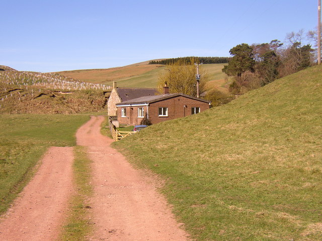
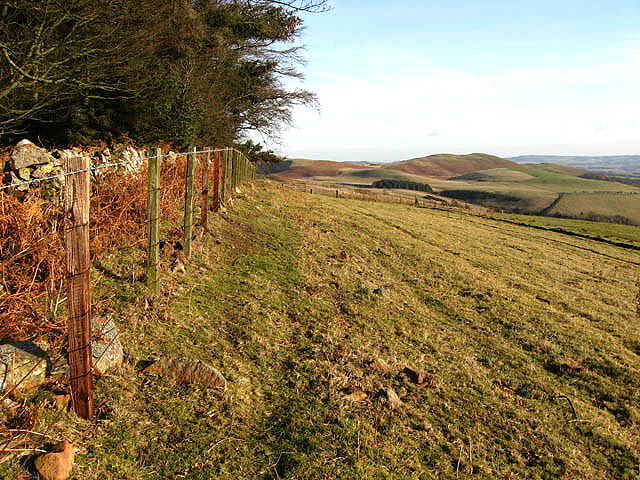
Churchbrae Plantation is a picturesque woodland area located in Northumberland, England. The plantation covers a vast area of land and is known for its dense forest and diverse range of plant and animal species.
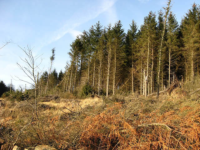
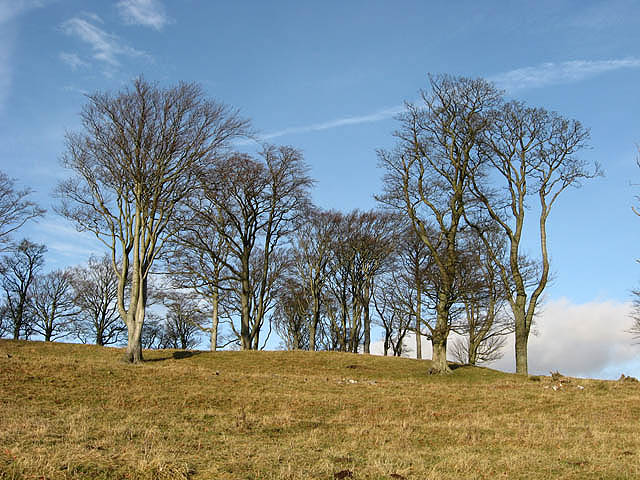
The plantation is characterized by its towering trees, including oak, birch, and pine, which provide a dense canopy and create a peaceful and serene atmosphere. The forest floor is covered with a thick layer of moss, creating a lush green carpet that adds to the beauty of the surroundings.
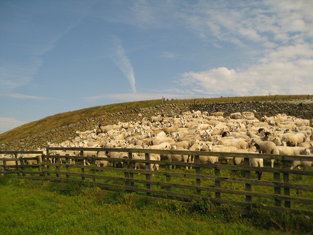
Churchbrae Plantation is home to a variety of wildlife, including deer, foxes, squirrels, and numerous species of birds. Birdwatchers can spot a range of feathered friends, including woodpeckers, owls, and various songbirds.
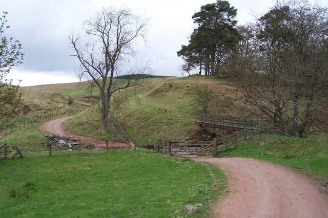
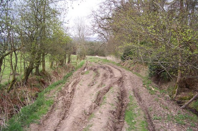
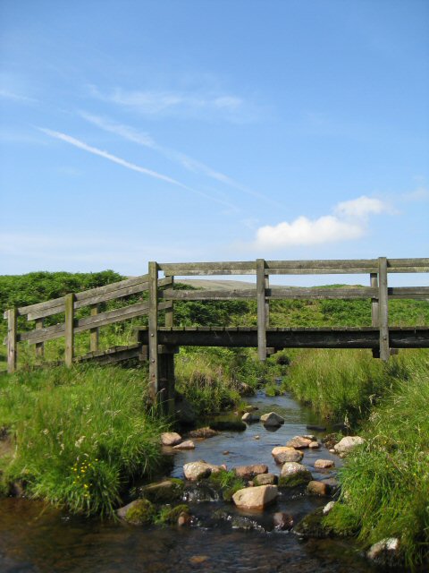
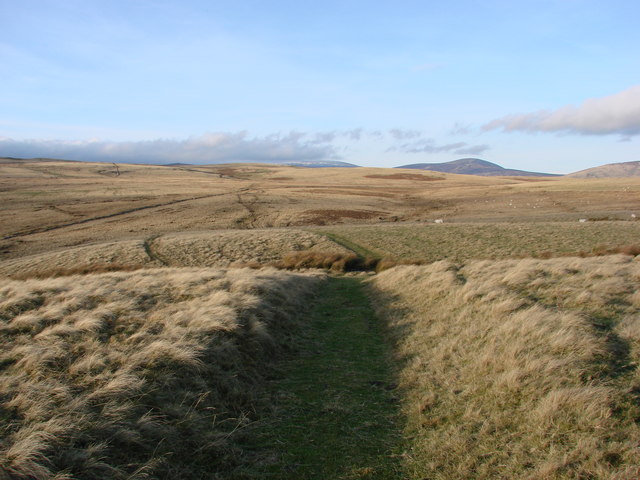
The plantation is a popular destination for nature enthusiasts, hikers, and photographers due to its natural beauty and tranquility. There are several well-marked trails that wind through the woodland, allowing visitors to explore the plantation at their own pace. These trails offer breathtaking views of the surrounding countryside and provide opportunities to spot wildlife and appreciate the diverse flora and fauna.
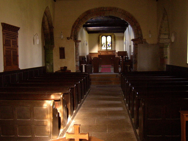
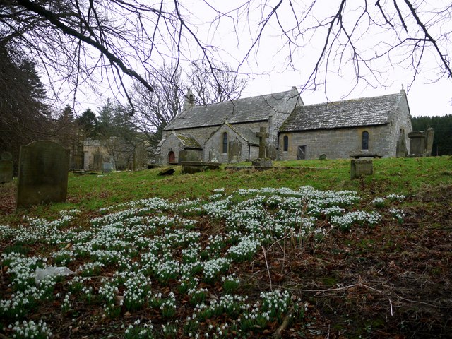
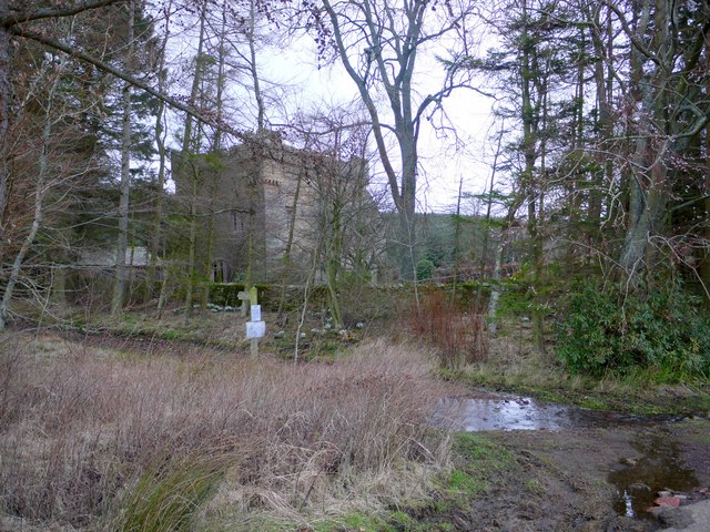
In addition to its natural beauty, Churchbrae Plantation also has historical significance. The area was once part of an estate owned by a local church, hence the name. Ruins of an old chapel can still be found within the plantation, adding an element of intrigue and charm to the site.
Overall, Churchbrae Plantation is a remarkable woodland area in Northumberland, offering a peaceful retreat for nature lovers and a haven for a wide range of plant and animal species.
If you have any feedback on the listing, please let us know in the comments section below.
Churchbrae Plantation Images
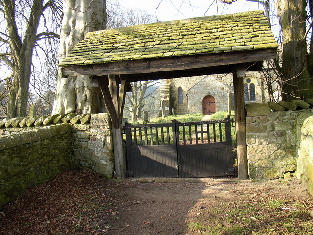
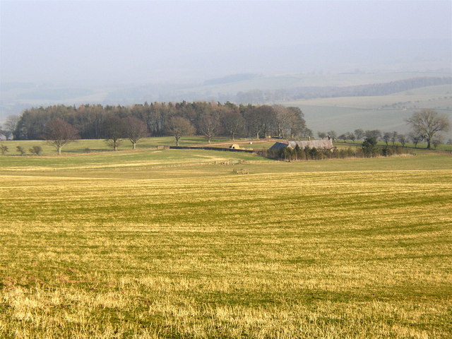
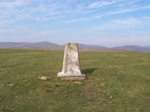
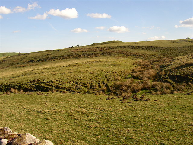
Images are sourced within 2km of 55.394428/-2.0144807 or Grid Reference NT9911. Thanks to Geograph Open Source API. All images are credited.
Churchbrae Plantation is located at Grid Ref: NT9911 (Lat: 55.394428, Lng: -2.0144807)
Unitary Authority: Northumberland
Police Authority: Northumbria
What 3 Words
///yard.badminton.highlight. Near Whittingham, Northumberland
Nearby Locations
Related Wikis

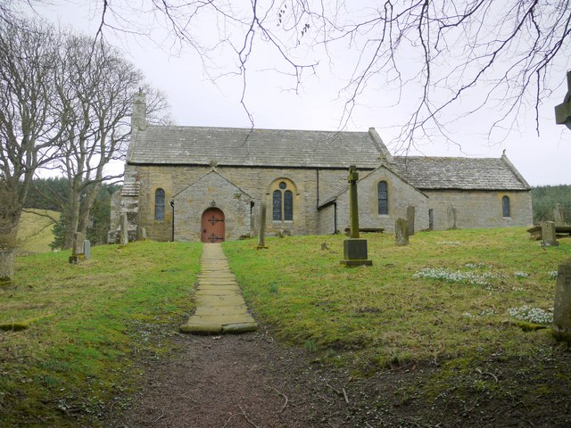
Church of St Michael, Alnham
The Church of St Michael in Alnham, in the English county of Northumberland, is a medieval structure dating from circa 1200. Built on a Roman camp site...
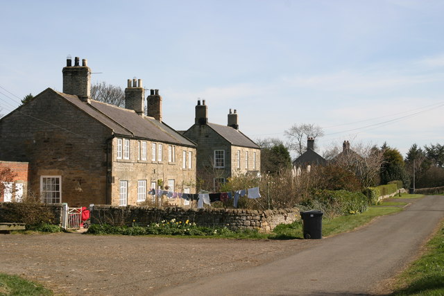
Alnham
Alnham is a hamlet and civil parish in Northumberland, England. It is about 14 miles (23 km) west of Alnwick, about 6 miles (9.7 km) from Scotland and...
Milbourne, Northumberland
Milbourne is a village and former civil parish 14 miles (23 km) from Morpeth, now in the parish of Ponteland, in the county of Northumberland, England...

Scrainwood
Scrainwood is a hamlet and former civil parish 20 miles (32 km) from Morpeth, now in the parish of Alnham, in the county of Northumberland, England. In...
Nearby Amenities
Located within 500m of 55.394428,-2.0144807Have you been to Churchbrae Plantation?
Leave your review of Churchbrae Plantation below (or comments, questions and feedback).