Dowdeswell

Civil Parish in Gloucestershire Cotswold

England

Dowdeswell

Communication Mast, St Paul's Epistle Sited near the summit of St.Paul's Epistle this communications mast overlooks the A436 and much lower down in the valley the A40.
Communication Mast, St Paul's Epistle Credit: Terry Jacombs

Dowdeswell is a civil parish located in the county of Gloucestershire, England. It is situated in the Cotswold District, approximately 4 miles east of Cheltenham. The parish covers a total area of around 1.73 square miles and has a population of about 250 residents.

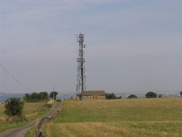
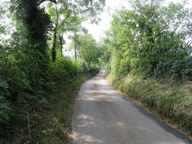
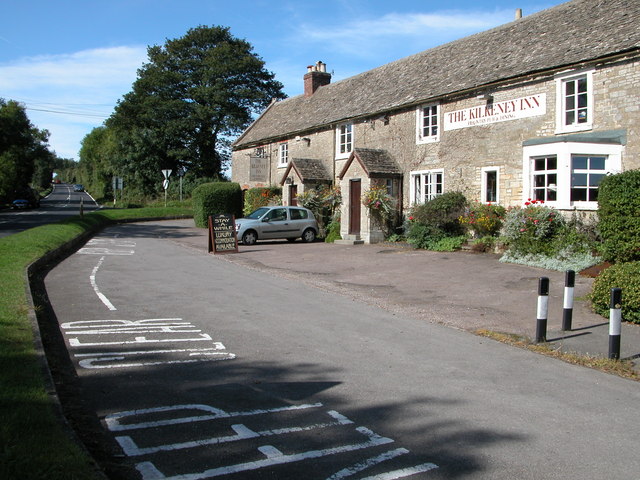
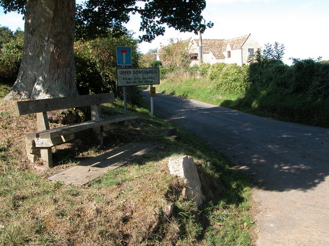
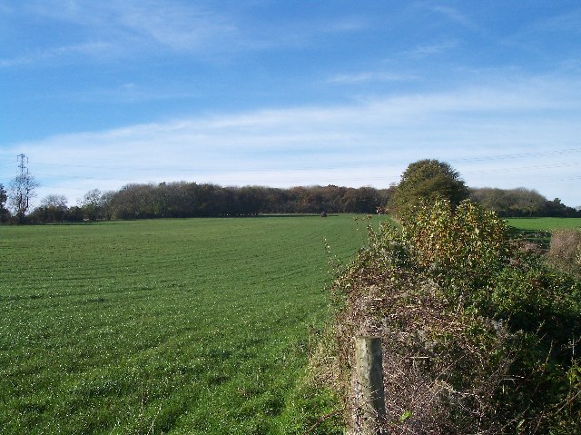
The village of Dowdeswell is nestled in the picturesque Cotswolds countryside, surrounded by rolling hills and lush green fields. It is known for its stunning natural beauty, with many walking and cycling routes that offer breathtaking views of the surrounding landscape.

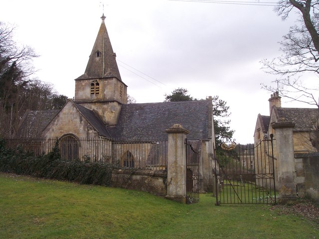
The village itself is small and charming, with a mix of traditional Cotswold stone cottages and more modern houses. The local community is close-knit and friendly, with a strong sense of community spirit. The parish has a local church, St. Michael and All Angels, which is a Grade II listed building and dates back to the 12th century.

Dowdeswell is primarily a residential area, with limited amenities. However, it benefits from its close proximity to Cheltenham, where residents can access a wider range of services, including shops, supermarkets, schools, and healthcare facilities.

The parish is well-connected in terms of transport links. The A40 road runs nearby, providing easy access to Cheltenham and Oxford. Additionally, the village is served by regular bus services, allowing residents to travel to nearby towns and villages.

In conclusion, Dowdeswell is a tranquil and idyllic civil parish in Gloucestershire, offering its residents a peaceful countryside lifestyle, while still being within easy reach of larger towns and cities.

If you have any feedback on the listing, please let us know in the comments section below.

Dowdeswell Images

Images are sourced within 2km of 51.868985/-2.009191 or Grid Reference SO9918. Thanks to Geograph Open Source API. All images are credited.

Communication Mast, St Paul's Epistle Sited near the summit of St.Paul's Epistle this communications mast overlooks the A436 and much lower down in the valley the A40.
Communication Mast, St Paul's Epistle
Sited near the summit of St.Paul's Epistle this communications mast overlooks the A436 and much lower down in the valley the A40.
A436 at Kilkenny The A436 runs across this square east to west and carries a heavy volume of traffic heading for the M5 from the A40, avoiding Cheltenham, on a narrow A road.
A436 at Kilkenny
The A436 runs across this square east to west and carries a heavy volume of traffic heading for the M5 from the A40, avoiding Cheltenham, on a narrow A road.
The Manor House, Upper Dowdeswell Situated on a dead end lane off a quiet cross country lane, the hamlet of Upper Dowdeswell and its old manor house sees few visitors.
The Manor House, Upper Dowdeswell
Situated on a dead end lane off a quiet cross country lane, the hamlet of Upper Dowdeswell and its old manor house sees few visitors.
Public Water Tap, Upper Dowdeswell This water tap is housed in a purpose built alcove in the walls of the Manor House.
Public Water Tap, Upper Dowdeswell
This water tap is housed in a purpose built alcove in the walls of the Manor House.
Gloucestershire Way near St Paul's Epistle This lane which runs from Kilkenny to Hilcot forms part of the Gloucestershire Way for about a kilometre here.
Gloucestershire Way near St Paul's Epistle
This lane which runs from Kilkenny to Hilcot forms part of the Gloucestershire Way for about a kilometre here.
Dowdeswell Church Viewed from the north.
Dowdeswell Church
Viewed from the north.
The Kilkenny Inn, Kilkenny The inn is well situated at the junction of four roads.
The Kilkenny Inn, Kilkenny
The inn is well situated at the junction of four roads.
Upper Dowdeswell Seat under a tree at the road junction for Upper Dowdeswell.
Upper Dowdeswell
Seat under a tree at the road junction for Upper Dowdeswell.
Andoversford Relay Transmitter The transmitter and mast are operated by Arqiva, part of a multinational communications conglomerate with Australian roots, Macquaries.  The site was originally built for the Independent Broadcasting Authority and is an analogue TV relay station for Ridge Hill transmitter nr Much Marcle.
Andoversford Relay Transmitter
The transmitter and mast are operated by Arqiva, part of a multinational communications conglomerate with Australian roots, Macquaries. The site was originally built for the Independent Broadcasting Authority and is an analogue TV relay station for Ridge Hill transmitter nr Much Marcle.
Gloucestershire way towards Foxcote
Footpath towards A436
Road climbing towards St Paul's Epistle
St Paul's Epistle
St Paul's Epistle
Entrance to Kilkenny viewpoint
Farmland, Dowdeswell A stubble field and view over the Chelt valley.
Farmland, Dowdeswell
A stubble field and view over the Chelt valley.
The wrong sort of jumpers A view of a rather run down Sandywell Park Showground from the footpath.
The wrong sort of jumpers
A view of a rather run down Sandywell Park Showground from the footpath.
Minor road to Lower Dowdeswell The minor road runs past the showground on its way from Andoversford to Lower Dowdeswell.  The sign indicating where the footpath across the showground leaves the road can be seen in the centre of the image.
Minor road to Lower Dowdeswell
The minor road runs past the showground on its way from Andoversford to Lower Dowdeswell. The sign indicating where the footpath across the showground leaves the road can be seen in the centre of the image.
Upper Dowdeswell only The minor road across the image runs from Kilkenny to the A40.
Upper Dowdeswell only
The minor road across the image runs from Kilkenny to the A40.
Show me another place!

Dowdeswell is located at Grid Ref: SO9918 (Lat: 51.868985, Lng: -2.009191)

Administrative County: Gloucestershire

District: Cotswold

Police Authority: Gloucestershire

What 3 Words

///loudness.racing.green. Near Charlton Kings, Gloucestershire

Related Wikis

Lineover Wood

Lineover Wood (grid reference SO987187) is a 20.3-hectare (50-acre) biological Site of Special Scientific Interest in Gloucestershire, notified in 1986...

Dowdeswell Reservoir

Dowdeswell Reservoir and former water treatment works lie below the parish of Dowdeswell in Gloucestershire. They were originally built by Cheltenham...

Dowdeswell

Dowdeswell is a civil parish in the ward of Chedworth, Cotswold, in the ceremonial county of Gloucestershire, England. It is separated into Upper and Lower...

A40 road

The A40 is a trunk road which runs between London and Goodwick (Fishguard), Wales, and officially called The London to Fishguard Trunk Road (A40) in all...
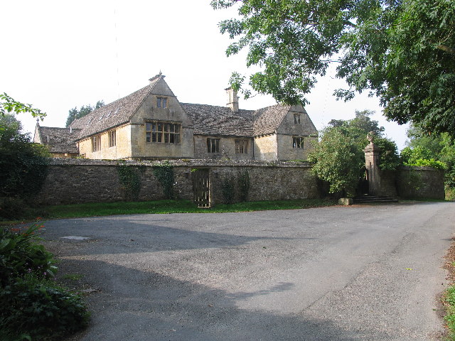
Sandywell Park

Sandywell Park is an Jacobean Georgian manor house, five miles east of Cheltenham in Gloucestershire, England. Built in 1704 by Henry Brett, it was extended...

Whittington Court

Whittington Court is an Elizabethan manor house, five miles east of Cheltenham in Gloucestershire, England. Adjacent to the house is the Whittington parish...

Arle Grove

Arle Grove (grid reference SO995215) is a 5-hectare (12-acre) nature reserve in Gloucestershire. The site is listed in the 'Cotswold District' Local Plan...

Andoversford Junction railway station

Andoversford Junction railway station was in Gloucestershire on the Great Western Railway's Banbury and Cheltenham Direct Railway that opened in 1881....

Related Videos

You Couldn’t make this up, even if you tried 😂 #travel #vanlife #travelblog #motorhome #funny #love

Funny times with the Brummies you couldn't even plan this even if you tried!! #travelvlog #motorhome #vanlife #campervan ...
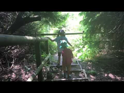
Nearby Amenities

Located within 500m of 51.868985,-2.009191
Pegglesworth
Place: hamlet
Source: knowledge
Lat/Long: 51.8648096/-2.0102952
Barrier: kissing_gate
Foot: yes
Lat/Long: 51.8662602/-2.0112122
Power: pole
Lat/Long: 51.8679866/-2.016096
Power: pole
Lat/Long: 51.8674733/-2.0146298
Information: guidepost
Tourism: information
Lat/Long: 51.8684923/-2.0160805
Information: guidepost
Tourism: information
Lat/Long: 51.8688593/-2.016268
Information: guidepost
Tourism: information
Lat/Long: 51.8676888/-2.0161252
Location Transition: yes
Power: pole
Lat/Long: 51.8672632/-2.0158635
Castle Barn Farm
Power: pole
Transformer: distribution
Voltage Primary: 11000
Lat/Long: 51.8688294/-2.007722
Power: pole
Lat/Long: 51.8684551/-2.0087989
Power: pole
Lat/Long: 51.8682141/-2.0102265
Power: pole
Lat/Long: 51.8679764/-2.0116373
Power: pole
Lat/Long: 51.8677106/-2.0132138
The data included in this document is from www.openstreetmap.org. The data is made available under ODbL.

Have you been to Dowdeswell?

Leave your review of Dowdeswell below (or comments, questions and feedback).