Doveridge
Civil Parish in Derbyshire Derbyshire Dales
England
Doveridge

Doveridge is a civil parish located in Derbyshire, England. It is a small village with a population of around 1,000 residents. The village is situated on the banks of the River Dove, which forms the border between Derbyshire and Staffordshire.
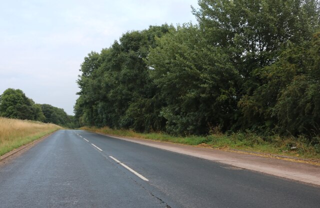
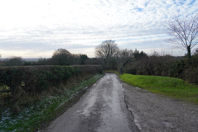
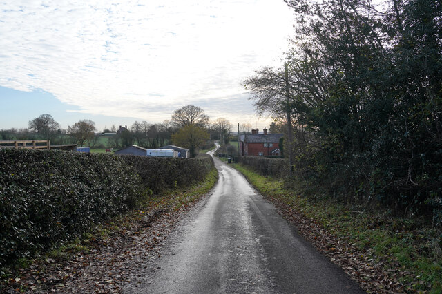
Doveridge is known for its picturesque countryside, with rolling hills and lush green fields surrounding the village. The village itself has a traditional English charm, with stone-built houses and a historic church dating back to the 12th century.
In terms of amenities, Doveridge has a primary school, village hall, and a pub. There are also several walking trails and bridleways in the area, making it popular with outdoor enthusiasts.
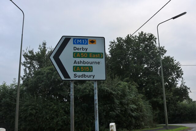
The village is well-connected by road, with the A50 running nearby providing easy access to larger towns and cities such as Derby and Stoke-on-Trent. Overall, Doveridge is a peaceful and idyllic village, perfect for those looking to escape the hustle and bustle of city life and enjoy the beauty of the English countryside.
If you have any feedback on the listing, please let us know in the comments section below.
Doveridge Images
Images are sourced within 2km of 52.910185/-1.820875 or Grid Reference SK1234. Thanks to Geograph Open Source API. All images are credited.


Doveridge is located at Grid Ref: SK1234 (Lat: 52.910185, Lng: -1.820875)
Administrative County: Derbyshire
District: Derbyshire Dales
Police Authority: Derbyshire
What 3 Words
///stalemate.unhappily.safety. Near Doveridge, Derbyshire
Nearby Locations
Related Wikis

Doveridge
Doveridge is a village and civil parish in Derbyshire, United Kingdom, near the border with Staffordshire and about 2 km (1.2 mi) east of Uttoxeter. Its...

St Cuthbert's Church, Doveridge
St Cuthbert's Church, Doveridge is a Grade I listed parish church in the Church of England in Doveridge, Derbyshire. == History == The church dates from...
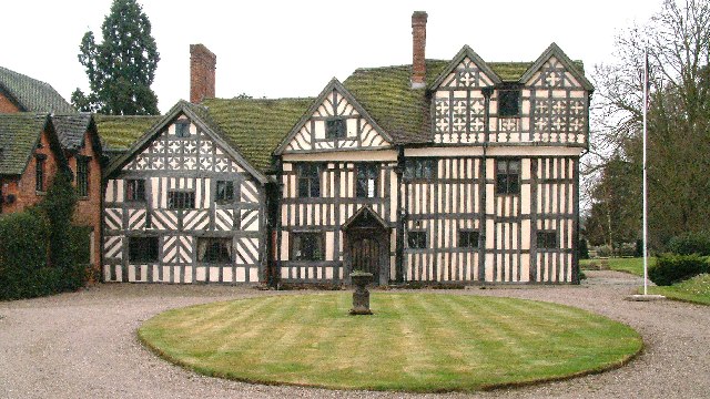
Somersal Herbert Hall
Somersal Herbert Hall is a privately owned timber-framed 16th-century country house at Somersal Herbert, near Ashbourne, Derbyshire, in England. It is...

Brocksford Hall
Brocksford Hall is a country house about one mile (1.6 km) east of Doveridge village, in the south west corner of Derbyshire, England. It is recorded...
Nearby Amenities
Located within 500m of 52.910185,-1.820875Have you been to Doveridge?
Leave your review of Doveridge below (or comments, questions and feedback).