Doverdale

Civil Parish in Worcestershire Wychavon

England

Doverdale

The door of Doverdale church
The door of Doverdale church Credit: Jeff Gogarty

Doverdale is a civil parish located in Worcestershire, England. It is situated near the town of Droitwich Spa and is part of the Wychavon district. The parish covers an area of approximately 450 acres and has a population of around 300 residents.

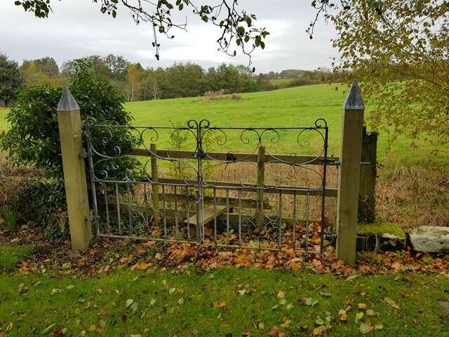
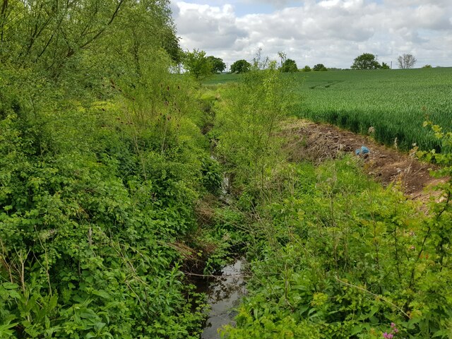
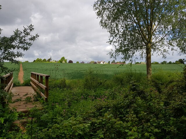
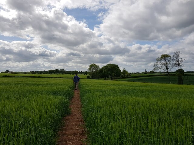
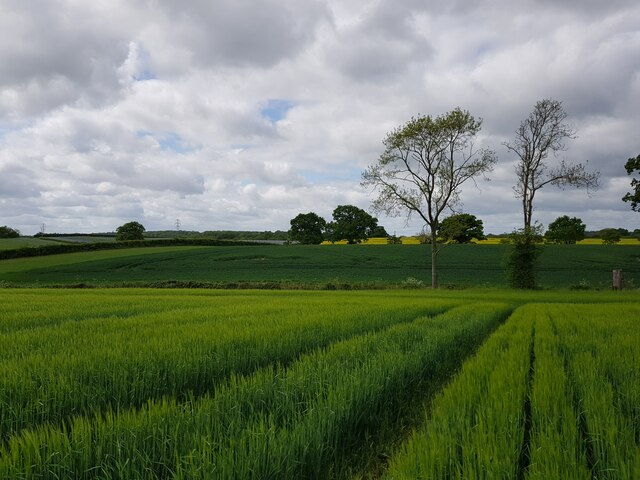
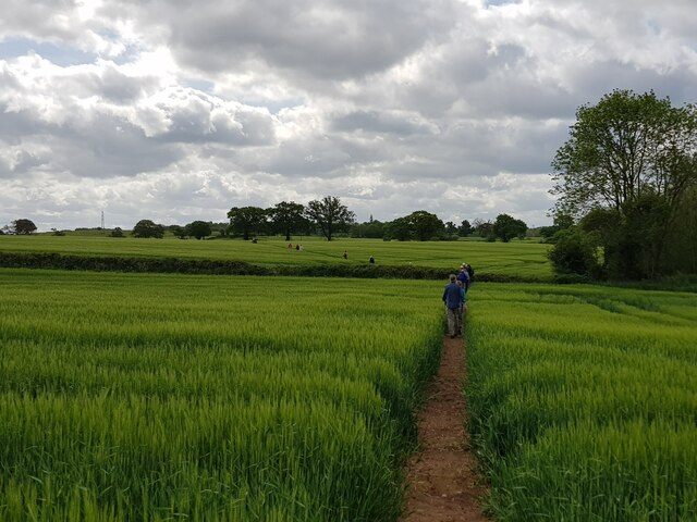
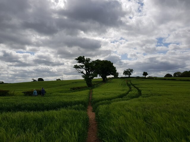
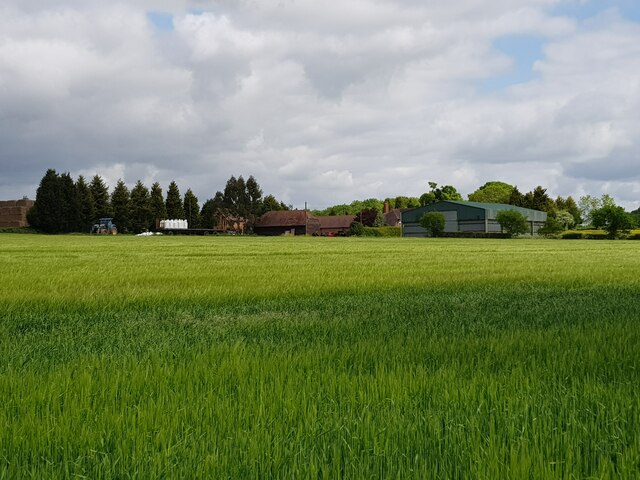
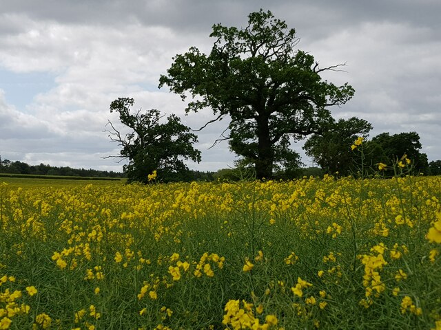
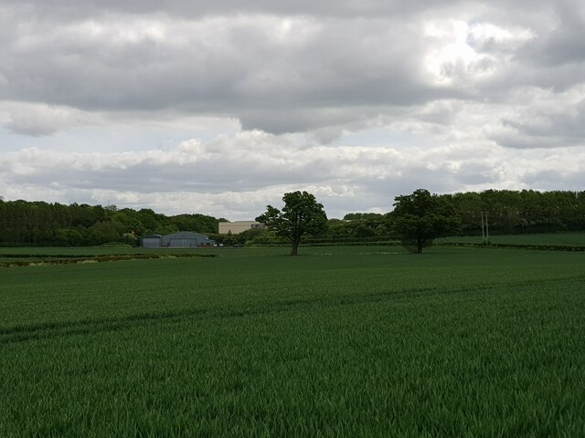
Doverdale is a predominantly rural area with a mix of agricultural land and residential properties. The landscape is characterized by rolling hills, fields, and woodlands, providing a picturesque setting for those who live in the area. The parish is well-connected by road, with the A38 running through the nearby town of Droitwich Spa, providing easy access to the rest of Worcestershire and beyond.

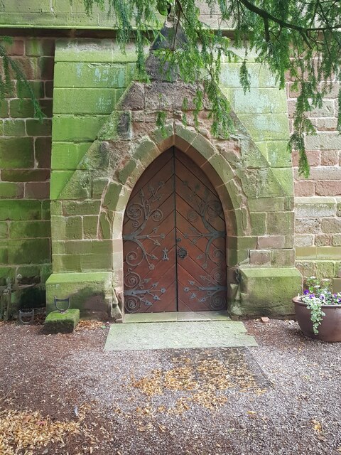
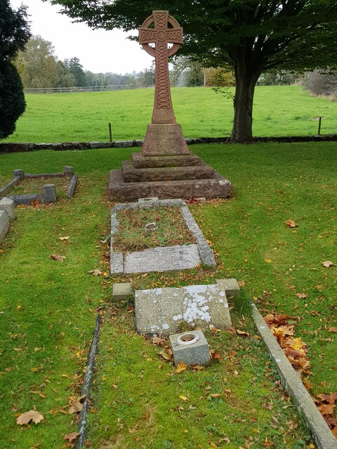
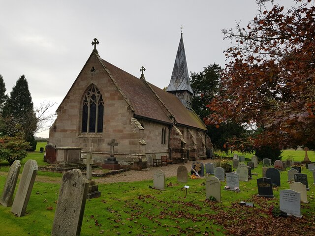
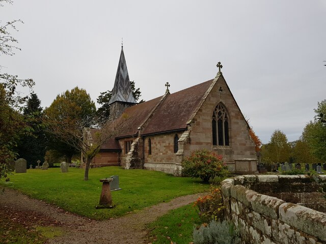
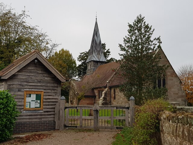
In terms of amenities, Doverdale is a small community with limited facilities. There is a church located in the parish, as well as some local businesses and services. Residents often travel to nearby towns for shopping, dining, and other activities.

Overall, Doverdale is a peaceful and scenic area that offers a quiet lifestyle for its residents. It is a close-knit community where neighbors know each other and come together for various events and activities throughout the year.

If you have any feedback on the listing, please let us know in the comments section below.
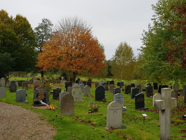
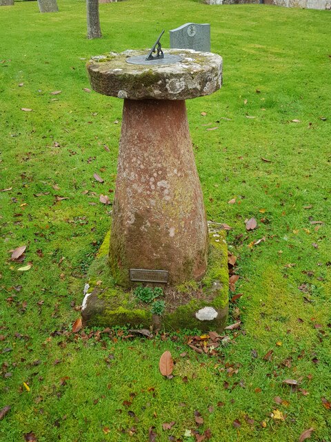
Doverdale Images

Images are sourced within 2km of 52.291601/-2.2028 or Grid Reference SO8665. Thanks to Geograph Open Source API. All images are credited.

The door of Doverdale church
Gated stile at corner of Doverdale churchyard
Cross and graves in Doverdale Churchyard
Church of St Mary, Doverdale (from the North East)
Autumn colour, Doverdale churchyard
Sundial, Doverdale church
Church of St Mary, Doverdale (from the South East)
St Mary's Doverdale from the car park
Ditch with stream, near Church Farm, Doverdale
Footbridge and footpath through crops, Doverdale The spire of Doverdale Church <a href="https://www.geograph.org.uk/photo/5136945">SO8666 : St Mary's Church, Doverdale</a> can just be made out to the right of the path.
Footbridge and footpath through crops, Doverdale
The spire of Doverdale Church SO8666 : St Mary's Church, Doverdale can just be made out to the right of the path.
Footpath through crops with walker, Doverdale
Two trees marking position of a stream, Doverdale
A long line of walkers Crossing fields near Doverdale.
A long line of walkers
Crossing fields near Doverdale.
Footpath reaches field boundary
Packington Farm from the fields
Trees viewed over a field of rape
Industrial estate between the trees
Mill race Hadley Brook in the spring Compare to a winter image <a href="https://www.geograph.org.uk/photo/6713027">SO8664 : The Mill House and Hadley Brook, Hadley, Worcestershire</a>.
Mill race Hadley Brook in the spring
Show me another place!

Doverdale is located at Grid Ref: SO8665 (Lat: 52.291601, Lng: -2.2028)

Administrative County: Worcestershire

District: Wychavon

Police Authority: West Mercia

What 3 Words

///renders.published.eternity. Near Droitwich, Worcestershire

Nearby Locations

Doverdale

Related Wikis

Doverdale

Doverdale is a small village and civil parish in Worcestershire, England, to the west of Droitwich. It has a parish church. Doverdale Manor is one of largest...

Snead's Green

Snead's Green, sometimes written Sneads Green, is an area of Droitwich Spa, Worcestershire, England.Francis Moule, of Snead's Green House, sold the manorial...

Dunhampton

Dunhampton is a village in Worcestershire, England.

Cutnall Green Halt railway station

Cutnall Green Halt was a railway station in Worcestershire, England, serving the nearby village of Hampton Lovett on the Oxford, Worcester and Wolverhampton...

Nearby Amenities

Located within 500m of 52.291601,-2.2028
Post Box
Ref: WR9 362
Royal Cypher: GVIR
Royal Cypher Wikidata: Q33102169
Lat/Long: 52.2934957/-2.2054117
Power: pole
Lat/Long: 52.2934616/-2.197984
Power: pole
Lat/Long: 52.2914003/-2.1963321
Power: pole
Lat/Long: 52.2921646/-2.196952
Power: pole
Lat/Long: 52.2948913/-2.1991216
Doverdale South
Power: pole
Transformer: distribution
Voltage Primary: 11000
Lat/Long: 52.2923494/-2.2078322
Power: pole
Lat/Long: 52.2934527/-2.2075801
Honey Bee
Power: pole
Transformer: distribution
Voltage Primary: 11000
Lat/Long: 52.294245/-2.2076605
Power: pole
Lat/Long: 52.2939637/-2.206823
Church Farm Cottage
Power: pole
Transformer: distribution
Voltage Primary: 11000
Lat/Long: 52.2931352/-2.2022049
Power: pole
Lat/Long: 52.2930672/-2.2036211
Doverdale
Power: pole
Transformer: distribution
Voltage Primary: 11000
Lat/Long: 52.2935872/-2.2049421
Power: pole
Lat/Long: 52.2938222/-2.2055127
Power: pole
Lat/Long: 52.2941884/-2.2064951
Power: pole
Lat/Long: 52.2948741/-2.2062819
Power: pole
Lat/Long: 52.2955188/-2.2060901
The data included in this document is from www.openstreetmap.org. The data is made available under ODbL.

Have you been to Doverdale?

Leave your review of Doverdale below (or comments, questions and feedback).