Talbot's Wood

Wood, Forest in Dorset

England

Talbot's Wood

Path coming out on to High Street Path beside churchyard coming out on to High Street
Path coming out on to High Street Credit: Shaun Ferguson

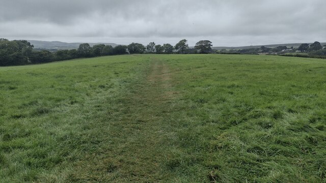
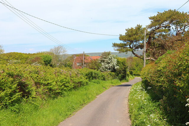
Talbot's Wood is a picturesque forest located in the county of Dorset, England. Covering an area of approximately 100 acres, it is nestled within the beautiful countryside, offering visitors a serene and tranquil retreat from the hustle and bustle of city life.

The wood is predominantly made up of native broadleaf trees, including oak, beech, and ash, creating a rich and diverse habitat for a wide range of flora and fauna. The forest floor is blanketed with a lush carpet of bluebells in the spring, adding a splash of vibrant color to the landscape.

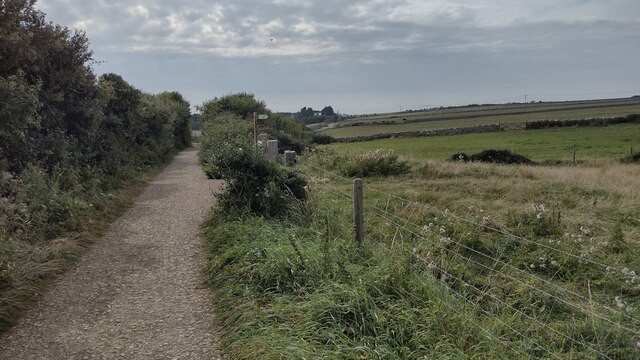
Talbot's Wood is crisscrossed by a network of well-maintained footpaths, allowing visitors to explore the area at their own pace. These paths wind through the dense woodland, leading to hidden clearings and secluded picnic spots, providing the perfect setting for a leisurely day out with family and friends.

Nature enthusiasts will delight in the abundance of wildlife that calls Talbot's Wood home. Deer, foxes, and badgers can often be spotted roaming the forest, while a variety of bird species, such as woodpeckers and owls, can be heard chirping and hooting from the treetops.

The wood also holds historical significance, with remnants of old charcoal pits and sawpits scattered throughout the area, harking back to its past use as a source of timber.

Talbot's Wood is a haven for nature lovers and a popular destination for those seeking tranquility and natural beauty. Its idyllic setting, diverse wildlife, and rich history make it a true gem within the Dorset countryside.

If you have any feedback on the listing, please let us know in the comments section below.

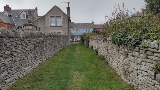
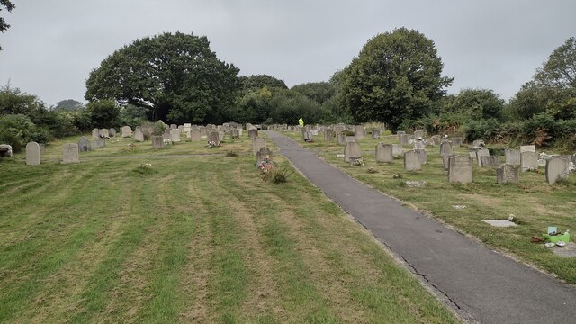
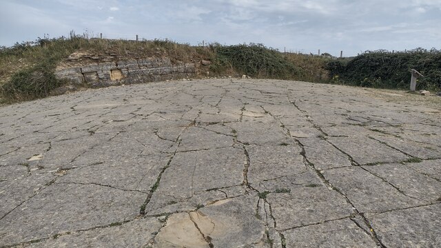
Talbot's Wood Images

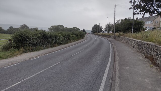
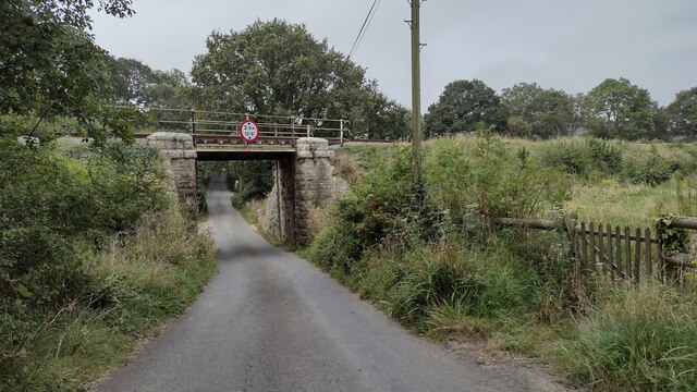
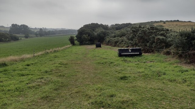
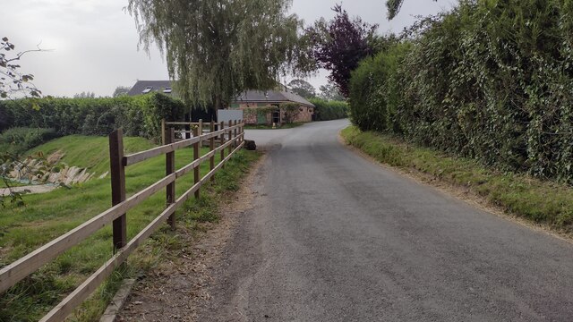
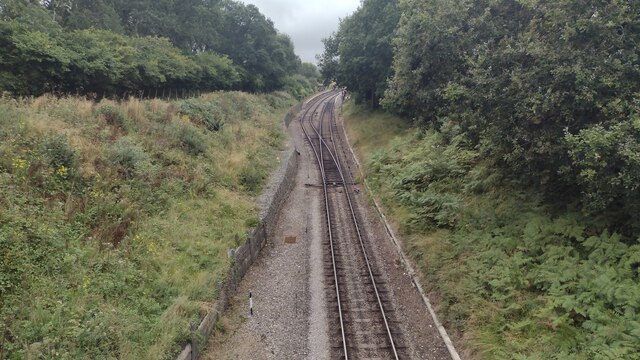
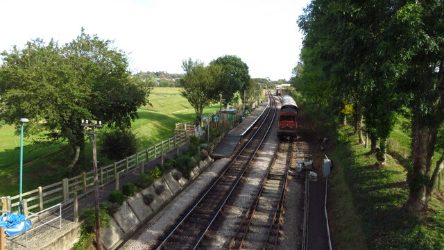
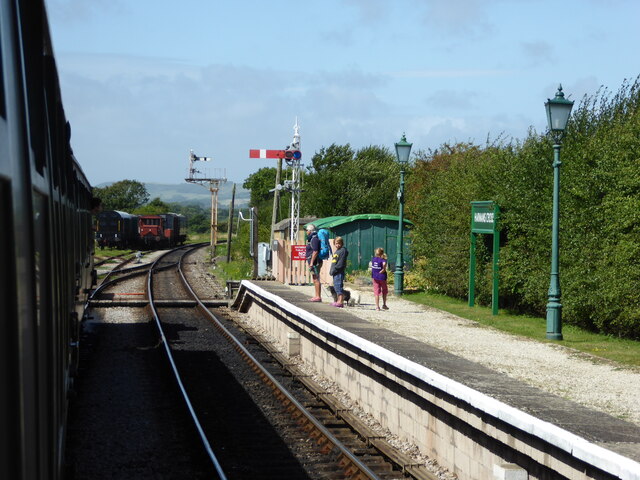
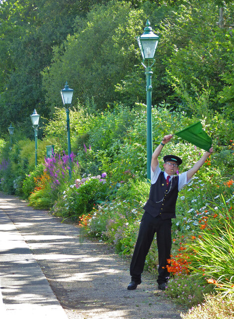
Images are sourced within 2km of 50.614365/-2.0042299 or Grid Reference SY9979. Thanks to Geograph Open Source API. All images are credited.

Path coming out on to High Street Path beside churchyard coming out on to High Street
Path coming out on to High Street
Path beside churchyard coming out on to High Street
Crack Lane Cemetery Crack Lane Cemetery outside of Langton Matravers
Crack Lane Cemetery
Crack Lane Cemetery outside of Langton Matravers
Keates Quarry Keates Quarry dinosaur footprints
Keates Quarry
Keates Quarry dinosaur footprints
Priest's Way Priest's Way passing the entrance to Keates Quarry dinosaur footprints
Priest's Way
Priest's Way passing the entrance to Keates Quarry dinosaur footprints
Path heading towards Woodhyde Campsite From Haycrafts Lane the path heading towards Woodhyde Campsite
Path heading towards Woodhyde Campsite
From Haycrafts Lane the path heading towards Woodhyde Campsite
Haycraft's Lane Minor road near Harman's Cross.
Haycraft's Lane
Minor road near Harman's Cross.
Level Crossing Steam train near Harman's Cross.
Level Crossing
Steam train near Harman's Cross.
Level crossing, Quarr Farm
High Street High Street A351 heading into Swanage
High Street
High Street A351 heading into Swanage
Coombe Hill Coombe Hill passing Coombe Farm
Coombe Hill
Coombe Hill passing Coombe Farm
New Barn Bridge New Barn Bridge on Knitson Lane
New Barn Bridge
New Barn Bridge on Knitson Lane
Path to Windmill Knap From New Barn the path to Windmill Knap
Path to Windmill Knap
From New Barn the path to Windmill Knap
Washpond Lane Washpond Lane passing Herston Yards Farm
Washpond Lane
Washpond Lane passing Herston Yards Farm
The double track at Harman's Cross Station From Haycrafts Lane bridge looking to the double track at Harman's Cross Station
The double track at Harman's Cross Station
From Haycrafts Lane bridge looking to the double track at Harman's Cross Station
Herston Halt Railway Station, Swanage
Swanage Railway - Harman's Cross Station
Swanage Railway - all clear at Harman's Cross Station The guard giving the all clear to the driver of the steam locomotive on this preserved railway.
Swanage Railway - all clear at Harman's Cross Station
The guard giving the all clear to the driver of the steam locomotive on this preserved railway.
Swanage Railway - signal box at Harman's Cross On this preserved railway at the end of the station.
Swanage Railway - signal box at Harman's Cross
On this preserved railway at the end of the station.
Show me another place!

Talbot's Wood is located at Grid Ref: SY9979 (Lat: 50.614365, Lng: -2.0042299)

Unitary Authority: Dorset

Police Authority: Dorset

What 3 Words

///superbly.opts.fats. Near Swanage, Dorset

Related Wikis

The Old Malthouse School

The Old Malthouse School (The OMH) was a preparatory school in the village of Langton Matravers near Swanage in the Isle of Purbeck, Dorset, United Kingdom...

Durnford School

Durnford School was an English preparatory school for boys which opened in 1894 on the Isle of Purbeck in Dorset. The school occupied Durnford House, in...

Langton Matravers

Langton Matravers () is a village and civil parish on the Isle of Purbeck, in the county of Dorset in the south of England. It is situated about 2 miles...

Leeson House

Leeson House is a field studies centre in the village of Langton Matravers in the heart of the Isle of Purbeck, Dorset, England. The Isle of Purbeck forms...

Nearby Amenities

Located within 500m of 50.614365,-2.0042299
Turning Circle
Source: bing
Lat/Long: 50.6100406/-2.0034477
Langton Matravers Museum of the Stone Industry
Addr City: Swanage
Addr Postcode: BH19 3HZ
Addr Street: Saint George's Close
Fee: yes
Fee Conditional: no @ (age < 10)
Opening Hours: Apr 01-Sep 30 Mo-Sa 10:00-12:00,14:00-16:00
Tourism: museum
Website: https://www.dorsetmuseums.co.uk/langton-matravers-museum
Wikidata: Q113369844
Lat/Long: 50.610026/-2.0033197
Material: wood
Power: pole
Source: bing
Lat/Long: 50.6118766/-1.9986378
Material: wood
Power: pole
Source: bing
Lat/Long: 50.6128354/-1.9986194
Material: wood
Power: pole
Source: bing
Switch: mechanical
Lat/Long: 50.6137252/-1.9985867
Material: wood
Power: pole
Source: bing
Lat/Long: 50.6144521/-2.0105566
Material: wood
Power: pole
Ref: 56904066;8
Source: bing
Lat/Long: 50.6150446/-2.0097789
Material: wood
Power: pole
Source: bing
Lat/Long: 50.6155666/-2.008972
Material: wood
Power: pole
Source: bing
Lat/Long: 50.615855/-2.0075358
Material: wood
Power: pole
Source: bing
Lat/Long: 50.6159945/-2.0080703
Material: wood
Power: pole
Ref: 245;816028
Source: GPS+GLONASS
Lat/Long: 50.6104566/-2.0076401
Material: wood
Power: pole
Ref: 816031
Source: GPS+GLONASS
Source Ref: survey
Lat/Long: 50.6105062/-2.0070144
Barrier: stile
Source: GPS
Lat/Long: 50.6114705/-2.0080968
Barrier: gate;stile
Source: GPS
Lat/Long: 50.612996/-2.0082637
Barrier: stile
Source: GPS
Lat/Long: 50.6140249/-2.0088819
Barrier: stile
Source: GPS
Lat/Long: 50.6152494/-2.0105624
Barrier: stile
Source: GPS
Lat/Long: 50.6152484/-2.0099607
Barrier: stile
Lat/Long: 50.6164004/-2.0102153
Barrier: stile
Source: GPS
Lat/Long: 50.6166522/-2.0101072
Barrier: stile
Source: survey
Lat/Long: 50.6128894/-2.0098746
Barrier: stile
Source: survey
Lat/Long: 50.6142569/-2.0017904
Barrier: stile
Source: survey
Lat/Long: 50.6106087/-2.0068795
Barrier: stile
Source: survey
Lat/Long: 50.6123862/-2.00678
Fixme: School playing fields
Lat/Long: 50.6103783/-2.0070248
Location: underground
Source: GPS+GLONASS
Water: wash_out
Lat/Long: 50.610573/-2.0053422
Bench
Source: survey
Lat/Long: 50.6128946/-2.0012445
Bench
Source: survey
Lat/Long: 50.6128972/-2.0022834
Bench
Source: survey
Lat/Long: 50.6129377/-2.0012514
Barrier: stile
Source: GPS+GLONASS
Lat/Long: 50.6144268/-2.0014619
Material: wood
Power: pole
Source: bing
Lat/Long: 50.6141446/-1.9980217
Power: transformer
Source: bing
Transformer: distribution
Lat/Long: 50.6100971/-2.0024109
Power: switch
Source: bing
Lat/Long: 50.610093/-2.0024377
The data included in this document is from www.openstreetmap.org. The data is made available under ODbL.

Have you been to Talbot's Wood?

Leave your review of Talbot's Wood below (or comments, questions and feedback).