Langton West Wood
Wood, Forest in Dorset
England
Langton West Wood
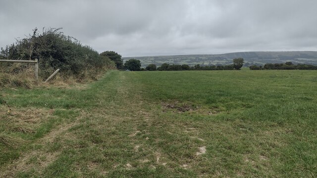
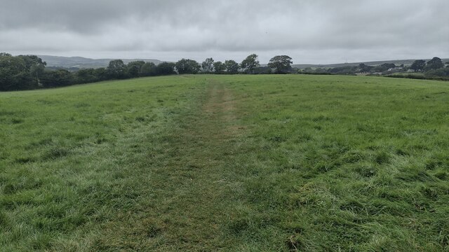
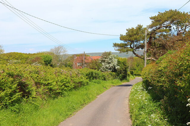
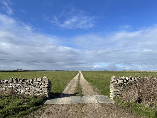
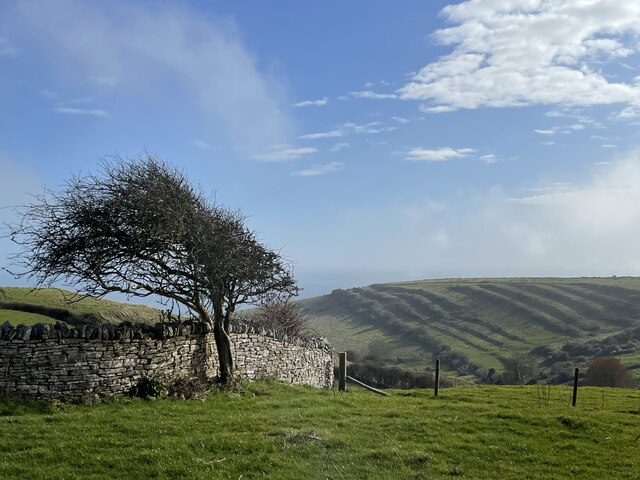
Langton West Wood is a picturesque woodland located in the county of Dorset, England. Covering an area of approximately 30 hectares, it is situated near the village of Langton Matravers. The wood is part of the larger Langton Matravers Common and is surrounded by rolling hills and stunning natural beauty.
The woodland consists mainly of native broadleaf trees, including oak, beech, and hazel, which create a diverse and vibrant ecosystem. The forest floor is covered in a carpet of wildflowers, ferns, and mosses, providing a haven for a wide range of plant and animal species.
Langton West Wood is renowned for its biodiversity and is home to various bird species, including woodpeckers, tawny owls, and song thrushes. The wood also provides a habitat for mammals such as deer, badgers, and foxes, which can often be spotted roaming through the trees.
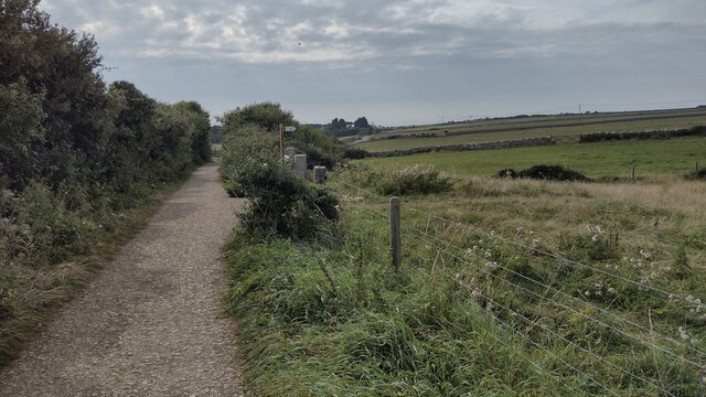
Visitors to Langton West Wood can enjoy a network of well-maintained walking trails, allowing them to explore the woodland at their own pace. The paths meander through the trees, offering breathtaking views of the surrounding countryside and the opportunity to encounter the area's wildlife up close.
Nature enthusiasts and photographers are particularly drawn to Langton West Wood for its stunning vistas and tranquil atmosphere. The wood is a popular spot for birdwatching, wildlife photography, and simply immersing oneself in the beauty of nature.
Overall, Langton West Wood is a cherished natural gem in Dorset, providing a peaceful retreat for both locals and visitors alike to enjoy the wonders of the countryside and reconnect with the natural world.
If you have any feedback on the listing, please let us know in the comments section below.
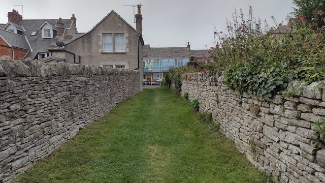
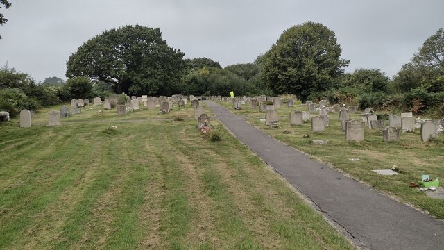
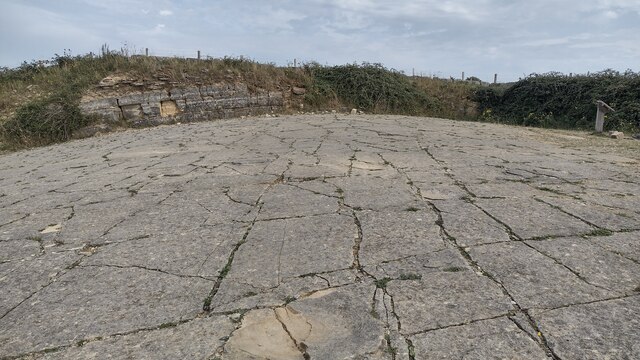
Langton West Wood Images
Images are sourced within 2km of 50.614508/-2.0144064 or Grid Reference SY9979. Thanks to Geograph Open Source API. All images are credited.
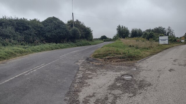
Langton West Wood is located at Grid Ref: SY9979 (Lat: 50.614508, Lng: -2.0144064)
Unitary Authority: Dorset
Police Authority: Dorset
What 3 Words
///boldest.paint.lends. Near Swanage, Dorset
Nearby Locations
Related Wikis

Woolgarston
Woolgarston is a village in Dorset, England. == External links == Media related to Woolgarston at Wikimedia Commons

Langton Matravers
Langton Matravers () is a village and civil parish on the Isle of Purbeck, in the county of Dorset in the south of England. It is situated about 2 miles...

The Old Malthouse School
The Old Malthouse School (The OMH) was a preparatory school in the village of Langton Matravers near Swanage in the Isle of Purbeck, Dorset, United Kingdom...

Durnford School
Durnford School was an English preparatory school for boys which opened in 1894 on the Isle of Purbeck in Dorset. The school occupied Durnford House, in...
Acton, Dorset
Acton is a hamlet in the parish of Langton Matravers, on the Isle of Purbeck, in the county of Dorset in the south of England. The hamlet of Acton was...

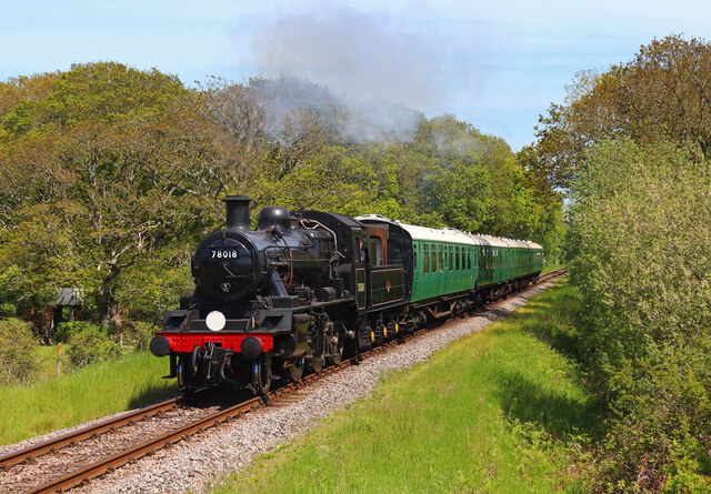
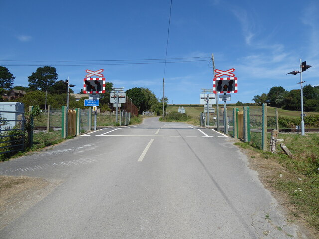
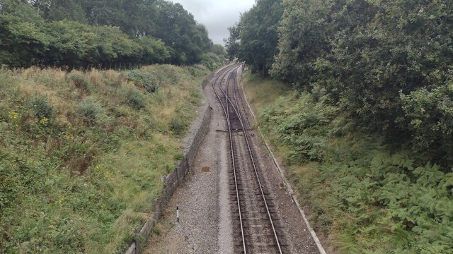
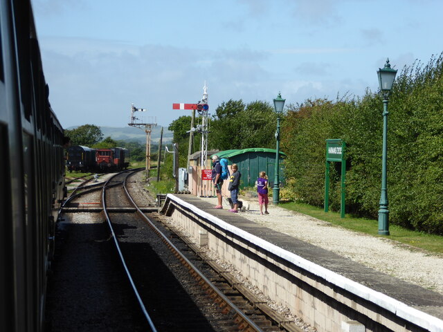
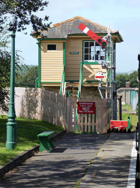
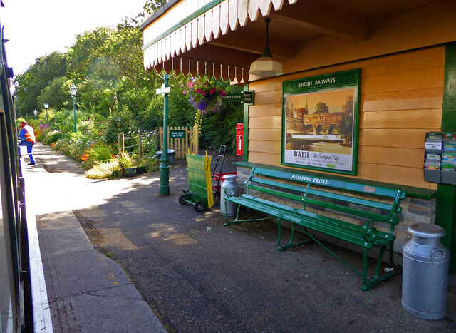
Harman's Cross railway station
Harman's Cross railway station is a railway station located in the village of Harman's Cross, on the Isle of Purbeck in the English county of Dorset. It...

Harman's Cross
Harman's Cross is a small village on the Isle of Purbeck in Dorset, England. It is situated on the A351 road between Swanage and Corfe Castle. The village...
Spyway
Spyway is an isolated property in the parish of Worth Matravers in Dorset and is owned by the National Trust. It is located on the route of the Priest...
Nearby Amenities
Located within 500m of 50.614508,-2.0144064Have you been to Langton West Wood?
Leave your review of Langton West Wood below (or comments, questions and feedback).