The Wilderness

Wood, Forest in Dorset

England

The Wilderness

Path coming out on to High Street Path beside churchyard coming out on to High Street
Path coming out on to High Street Credit: Shaun Ferguson

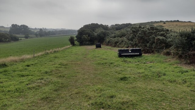
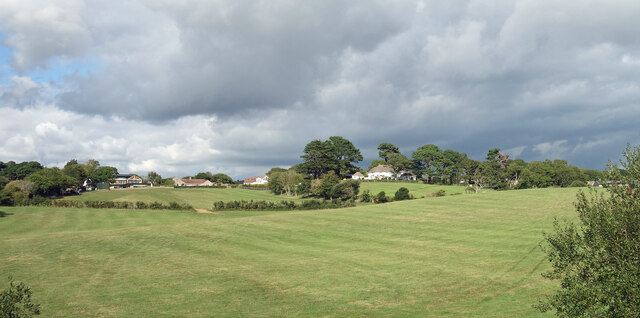
The Wilderness, located in Dorset, is a captivating wood and forest that spans over a vast area of picturesque landscapes. This natural haven is renowned for its breathtaking beauty and diverse flora and fauna, making it a popular destination for nature enthusiasts and outdoor adventurers.

This woodland paradise is characterized by its dense canopies of towering trees, including oak, beech, and ash, which create a captivating ambiance as sunlight filters through the leaves, casting dappled shadows on the forest floor. The Wilderness is also home to a variety of wildflowers, adding vibrant pops of color to the green surroundings.

The forest is intersected by a network of well-maintained trails, offering visitors the opportunity to explore its enchanting nooks and crannies. These paths wind through the forest, leading to hidden ponds, babbling brooks, and secluded clearings, providing a tranquil escape from the bustling world outside.

Wildlife thrives within The Wilderness, with a plethora of species calling it home. Keen-eyed visitors may spot deer grazing in the meadows or catch a glimpse of a fox darting through the undergrowth. Birdwatchers will delight in the chance to observe various avian species, including woodpeckers, owls, and warblers, which can be heard singing their melodious tunes throughout the day.

For those seeking a peaceful retreat or a place to reconnect with nature, The Wilderness in Dorset offers a truly immersive experience. It is a sanctuary where one can discover the wonders of the natural world, providing an escape from the daily routine and an opportunity to immerse oneself in the beauty and tranquility of this remarkable woodland.

If you have any feedback on the listing, please let us know in the comments section below.

The Wilderness Images

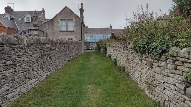
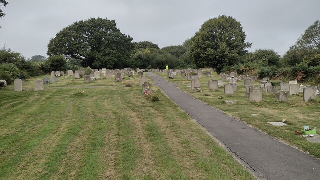
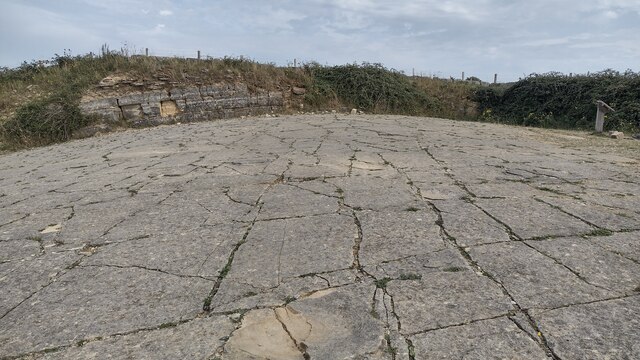
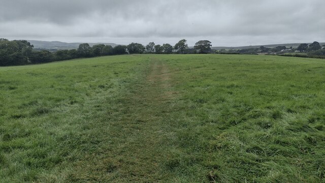
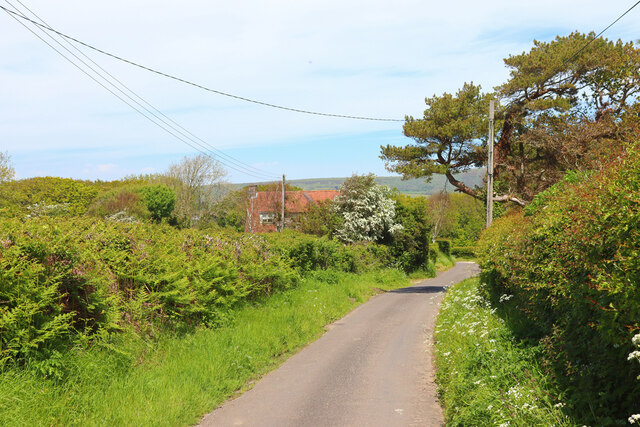
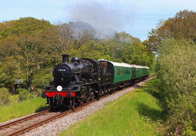
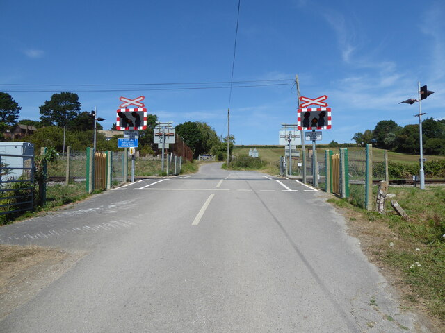
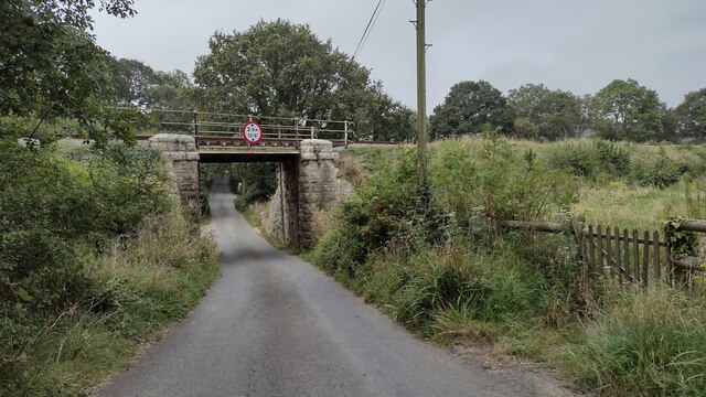
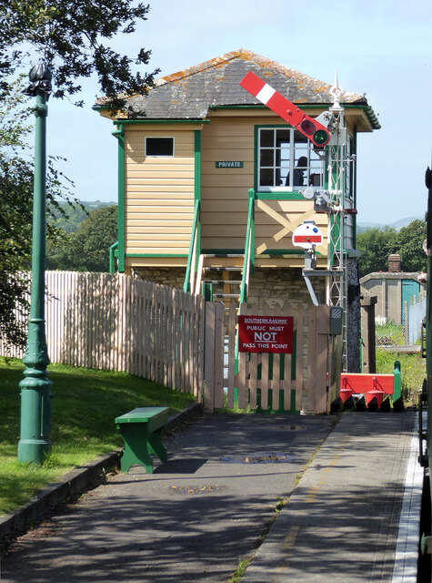
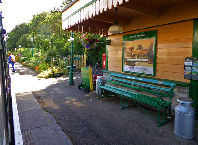
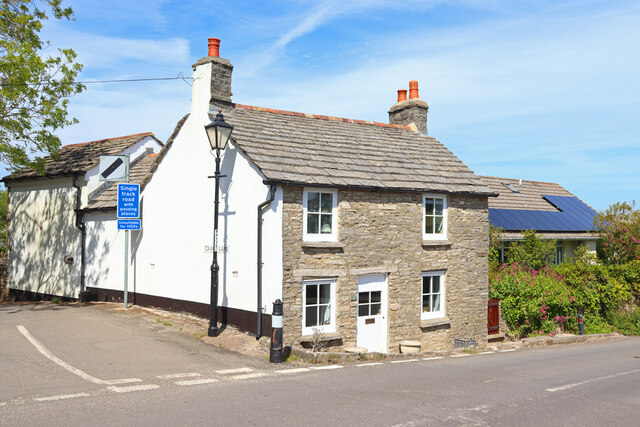
Images are sourced within 2km of 50.618385/-2.0095875 or Grid Reference SY9979. Thanks to Geograph Open Source API. All images are credited.

Path coming out on to High Street Path beside churchyard coming out on to High Street
Path coming out on to High Street
Path beside churchyard coming out on to High Street
Crack Lane Cemetery Crack Lane Cemetery outside of Langton Matravers
Crack Lane Cemetery
Crack Lane Cemetery outside of Langton Matravers
Keates Quarry Keates Quarry dinosaur footprints
Keates Quarry
Keates Quarry dinosaur footprints
Path heading towards Woodhyde Campsite From Haycrafts Lane the path heading towards Woodhyde Campsite
Path heading towards Woodhyde Campsite
From Haycrafts Lane the path heading towards Woodhyde Campsite
Haycraft's Lane Minor road near Harman's Cross.
Haycraft's Lane
Minor road near Harman's Cross.
Level Crossing Steam train near Harman's Cross.
Level Crossing
Steam train near Harman's Cross.
Level crossing, Quarr Farm
Coombe Hill Coombe Hill passing Coombe Farm
Coombe Hill
Coombe Hill passing Coombe Farm
New Barn Bridge New Barn Bridge on Knitson Lane
New Barn Bridge
New Barn Bridge on Knitson Lane
Path to Windmill Knap From New Barn the path to Windmill Knap
Path to Windmill Knap
From New Barn the path to Windmill Knap
The double track at Harman's Cross Station From Haycrafts Lane bridge looking to the double track at Harman's Cross Station
The double track at Harman's Cross Station
From Haycrafts Lane bridge looking to the double track at Harman's Cross Station
Swanage Railway - Harman's Cross Station
Swanage Railway - all clear at Harman's Cross Station The guard giving the all clear to the driver of the steam locomotive on this preserved railway.
Swanage Railway - all clear at Harman's Cross Station
The guard giving the all clear to the driver of the steam locomotive on this preserved railway.
Swanage Railway - signal box at Harman's Cross On this preserved railway at the end of the station.
Swanage Railway - signal box at Harman's Cross
On this preserved railway at the end of the station.
Swanage Railway - Harman's Cross Station  On this preserved railway. Very nicely presented but on this occasion the lighting was tricky.
Swanage Railway - Harman's Cross Station
On this preserved railway. Very nicely presented but on this occasion the lighting was tricky.
Langton Matravers Cottage in Langton Matravers.
Langton Matravers
Cottage in Langton Matravers.
Main road to Swanage at Instow
View near Harman's Cross Fields north of the railway with houses in Harman's Cross on the horizon.
View near Harman's Cross
Fields north of the railway with houses in Harman's Cross on the horizon.
Show me another place!

The Wilderness is located at Grid Ref: SY9979 (Lat: 50.618385, Lng: -2.0095875)

Unitary Authority: Dorset

Police Authority: Dorset

What 3 Words

///organist.thousands.organist. Near Swanage, Dorset

Related Wikis

The Old Malthouse School

The Old Malthouse School (The OMH) was a preparatory school in the village of Langton Matravers near Swanage in the Isle of Purbeck, Dorset, United Kingdom...

Durnford School

Durnford School was an English preparatory school for boys which opened in 1894 on the Isle of Purbeck in Dorset. The school occupied Durnford House, in...

Langton Matravers

Langton Matravers () is a village and civil parish on the Isle of Purbeck, in the county of Dorset in the south of England. It is situated about 2 miles...
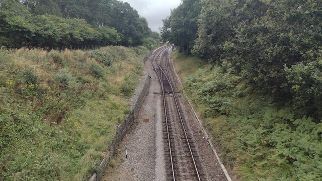
Harman's Cross

Harman's Cross is a small village on the Isle of Purbeck in Dorset, England. It is situated on the A351 road between Swanage and Corfe Castle. The village...

Nearby Amenities

Located within 500m of 50.618385,-2.0095875
Railway: level_crossing
Lat/Long: 50.6186007/-2.007137
Railway: level_crossing
Lat/Long: 50.6195801/-2.014146
Material: wood
Power: pole
Source: bing
Lat/Long: 50.6144521/-2.0105566
Material: wood
Power: pole
Ref: 56904066;8
Source: bing
Lat/Long: 50.6150446/-2.0097789
Material: wood
Power: pole
Source: bing
Lat/Long: 50.6155666/-2.008972
Material: wood
Power: pole
Source: bing
Lat/Long: 50.615855/-2.0075358
Material: wood
Power: pole
Source: bing
Lat/Long: 50.6159945/-2.0080703
Barrier: stile
Source: GPS
Lat/Long: 50.6140249/-2.0088819
Barrier: stile
Source: GPS
Lat/Long: 50.6152494/-2.0105624
Barrier: stile
Source: GPS
Lat/Long: 50.6152484/-2.0099607
Barrier: stile
Lat/Long: 50.6164004/-2.0102153
Barrier: stile
Source: GPS
Lat/Long: 50.6166522/-2.0101072
Man Made: surveillance
Surveillance: outdoor;public
Surveillance Type: camera
Lat/Long: 50.616705/-2.0161165
Barrier: stile
Source: GPS
Lat/Long: 50.6177166/-2.0098396
Barrier: stile
Source: GPS
Lat/Long: 50.6187281/-2.0096642
Crossing: uncontrolled
Railway: crossing
Source: survey
Lat/Long: 50.6189039/-2.0097551
Barrier: stile
Source: GPS
Lat/Long: 50.6190249/-2.009583
Material: wood
Power: pole
Ref: 816956
Lat/Long: 50.619719/-2.0068392
Material: wood
Power: pole
Ref: 816955
Lat/Long: 50.6197958/-2.0069353
Fire Hydrant
Emergency: fire_hydrant
Fire Hydrant Diameter: 4 inch
Fire Hydrant Type: underground
Ref: 11382
Source: GPS
Lat/Long: 50.6198484/-2.0069917
Barrier: stile
Source: GPS
Lat/Long: 50.6206287/-2.0086902
Barrier: stile
Source: GPS
Lat/Long: 50.620997/-2.0083518
Barrier: stile
Source: GPS
Lat/Long: 50.6211193/-2.0083196
Barrier: stile
Lat/Long: 50.6216333/-2.0082457
Material: wood
Power: pole
Transformer: distribution
Lat/Long: 50.6222884/-2.0081461
Barrier: stile
Source: GPS
Lat/Long: 50.622663/-2.0077336
Post Box
Post Box Type: lamp
Ref: BH19 191
Ref GB Uprn: 10015414597
Royal Cypher: EIIR
Royal Cypher Wikidata: Q33102113
Lat/Long: 50.6209806/-2.0085333
Post Office
Valley Road Post Office
Addr Postcode: BH19 3DX
Brand: Post Office
Brand Wikidata: Q1783168
Contact Website: https://www.postoffice.co.uk/branch-finder/3425088/valley-road
Ref Pol Id: 146965
Lat/Long: 50.6210146/-2.0084837
The data included in this document is from www.openstreetmap.org. The data is made available under ODbL.

Have you been to The Wilderness?

Leave your review of The Wilderness below (or comments, questions and feedback).