Birchall Wood

Wood, Forest in Staffordshire Staffordshire Moorlands

England

Birchall Wood

Farm buildings south-east of Leek, Staffordshire Seen from a passing train on the Churnet Valley Railway.
Farm buildings south-east of Leek, Staffordshire Credit: Roger Kidd

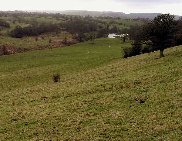
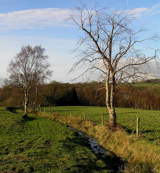
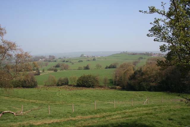
Birchall Wood is a picturesque forest located in Staffordshire, England. With an area covering over 500 acres, it is a popular destination for nature enthusiasts, hikers, and wildlife lovers. The wood is primarily made up of birch trees, as its name suggests, but also features a variety of other tree species such as oak, beech, and pine.

The forest is known for its diverse ecosystem, providing a habitat for numerous plant and animal species. Visitors can expect to see an array of bird species, including woodpeckers, thrushes, and owls. Small mammals like squirrels and foxes can also be spotted within the woodland.

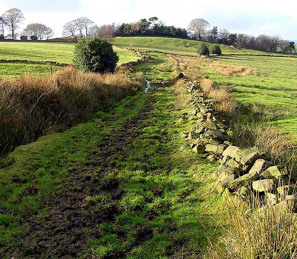
There are several walking trails that wind through the forest, allowing visitors to explore its beauty at their own pace. The paths are well-maintained and suitable for individuals of all ages and abilities. Along the way, there are informative signs providing interesting facts about the flora and fauna found in Birchall Wood.

The serene surroundings of Birchall Wood make it an ideal spot for picnics and family outings. There are designated picnic areas with benches scattered throughout the forest, providing visitors with a peaceful place to relax and enjoy the natural surroundings.

Overall, Birchall Wood offers a tranquil escape from the bustling city life, allowing visitors to immerse themselves in the beauty of nature. Its well-preserved ecosystem and abundance of wildlife make it a must-visit destination for anyone seeking solace and a connection with the natural world.

If you have any feedback on the listing, please let us know in the comments section below.

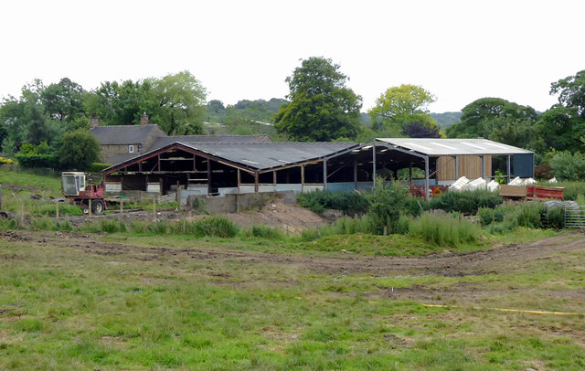
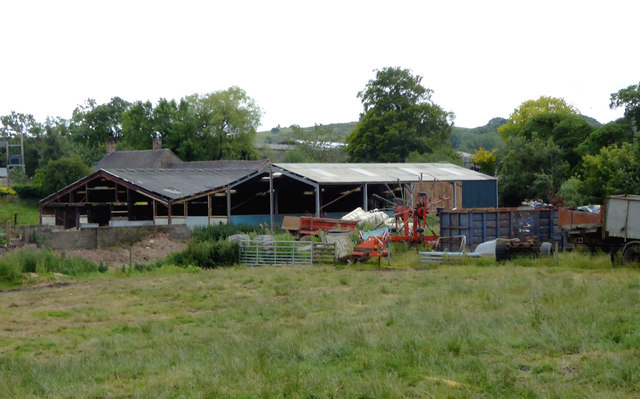
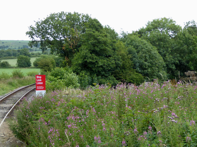
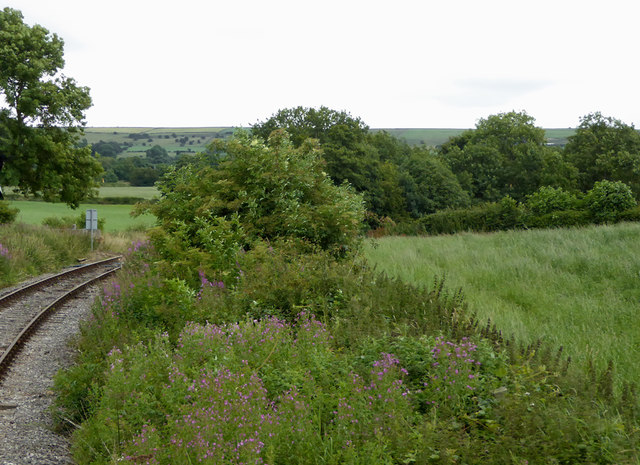
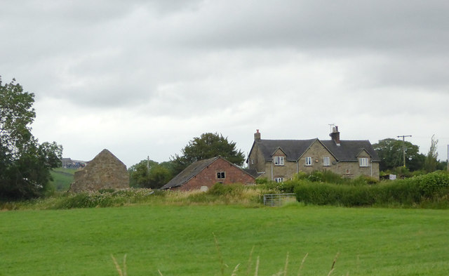
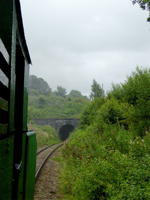
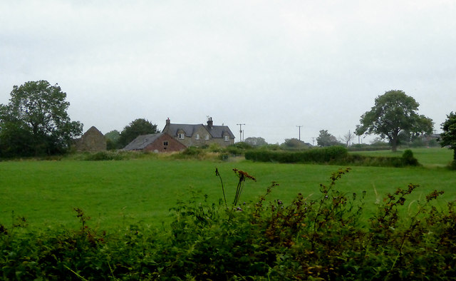
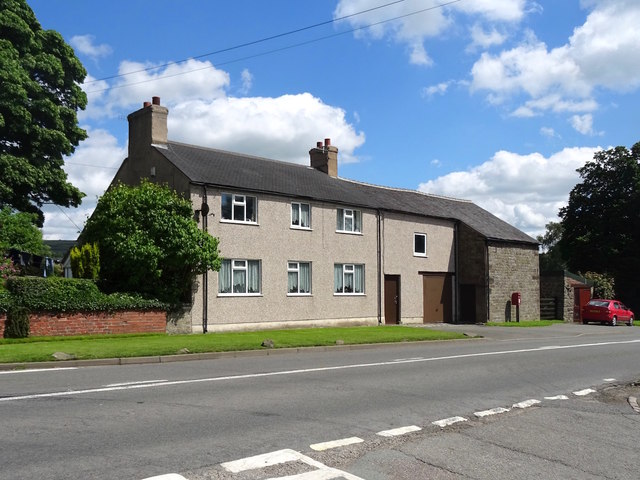
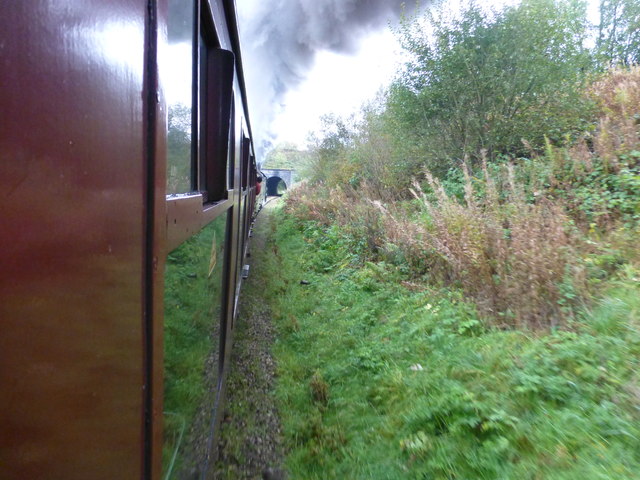
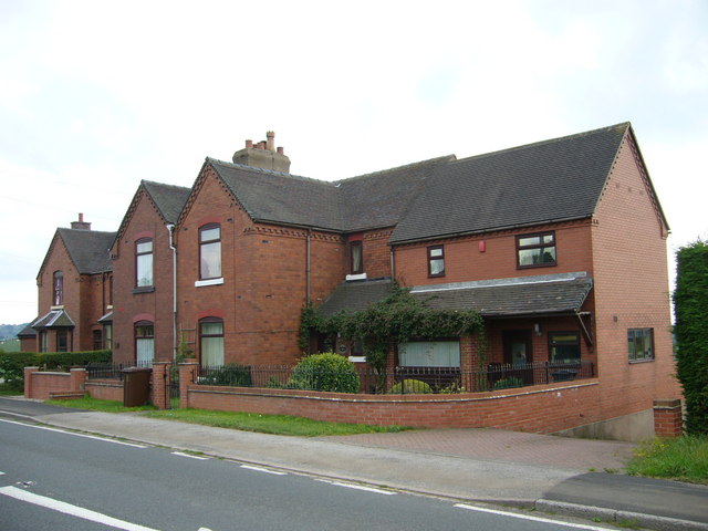
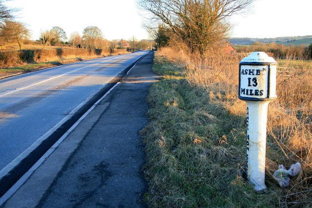
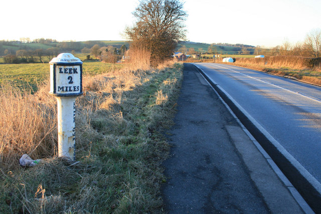
Birchall Wood Images

Images are sourced within 2km of 53.088829/-2.0152636 or Grid Reference SJ9954. Thanks to Geograph Open Source API. All images are credited.

Farm buildings south-east of Leek, Staffordshire Seen from a passing train on the Churnet Valley Railway.
Farm buildings south-east of Leek, Staffordshire
Seen from a passing train on the Churnet Valley Railway.
Farm buildings south-east of Leek, Staffordshire Buildings at Cliff Farm seen from a passing train on the Churnet Valley Railway.
Farm buildings south-east of Leek, Staffordshire
Buildings at Cliff Farm seen from a passing train on the Churnet Valley Railway.
Railway trackside south-east of Leek, Staffordshire A public footpath crosses the line here near Cliff Farm.

The preserved Churnet Valley Railway operates steam and diesel (sometimes both!) locomotives to haul trains between Kingsley and Froghall Station to Cheddleton, and sometimes beyond to Ipstones. <span class="nowrap"><a title="https://www.churnet-valley-railway.co.uk/" rel="nofollow ugc noopener" href="https://www.churnet-valley-railway.co.uk/">Link</a><img style="margin-left:2px;" alt="External link" title="External link - shift click to open in new window" src="https://s1.geograph.org.uk/img/external.png" width="10" height="10"/></span>
Railway trackside south-east of Leek, Staffordshire
A public footpath crosses the line here near Cliff Farm. The preserved Churnet Valley Railway operates steam and diesel (sometimes both!) locomotives to haul trains between Kingsley and Froghall Station to Cheddleton, and sometimes beyond to Ipstones. LinkExternal link
Farmland by the railway near Bradnop, Staffordshire Seen from a passing train approaching the footpath crossing near Cliff Farm.

The preserved Churnet Valley Railway operates steam and diesel (sometimes both!) locomotives to haul trains between Kingsley and Froghall Station to Cheddleton, and sometimes beyond to Ipstones. <span class="nowrap"><a title="https://www.churnet-valley-railway.co.uk/" rel="nofollow ugc noopener" href="https://www.churnet-valley-railway.co.uk/">Link</a><img style="margin-left:2px;" alt="External link" title="External link - shift click to open in new window" src="https://s1.geograph.org.uk/img/external.png" width="10" height="10"/></span>
Farmland by the railway near Bradnop, Staffordshire
Seen from a passing train approaching the footpath crossing near Cliff Farm. The preserved Churnet Valley Railway operates steam and diesel (sometimes both!) locomotives to haul trains between Kingsley and Froghall Station to Cheddleton, and sometimes beyond to Ipstones. LinkExternal link
Farm land south-east of Leek, Staffordshire Seen from a passing train, this telephoto assisted image shows Wildgoose Farm.
Farm land south-east of Leek, Staffordshire
Seen from a passing train, this telephoto assisted image shows Wildgoose Farm.
Railway at Bradnop, Staffordshire This is looking back (south-east) at the bridge at Bradnop. The train is being pulled on the return to Froghall by a diesel unit which helped the small green Polish steam locomotive haul it up the gradient to Ipstones by pushing from the rear.
The line is currently being used as far as the former Ipstones Station by the Churnet Valley Railway Company, but is currently owned by the Moorland and City Railways Company, with plans to reopen lines as far as Leek and Stoke, and agreements likely that CVR will have access to all of its tracks.
Railway at Bradnop, Staffordshire
This is looking back (south-east) at the bridge at Bradnop. The train is being pulled on the return to Froghall by a diesel unit which helped the small green Polish steam locomotive haul it up the gradient to Ipstones by pushing from the rear. The line is currently being used as far as the former Ipstones Station by the Churnet Valley Railway Company, but is currently owned by the Moorland and City Railways Company, with plans to reopen lines as far as Leek and Stoke, and agreements likely that CVR will have access to all of its tracks.
Pasture south-east of Leek, Staffordshire Looking at land by Wildgoose Farm on a very gloomy morning, seen from a passing Churnet Valley Railway train.
Pasture south-east of Leek, Staffordshire
Looking at land by Wildgoose Farm on a very gloomy morning, seen from a passing Churnet Valley Railway train.
Four Sycamores, formerly the Blacksmith's Arms The Blacksmith's Arms closed after a fire in about 1940, leaving Bradnop with no pub.
Four Sycamores, formerly the Blacksmith's Arms
The Blacksmith's Arms closed after a fire in about 1940, leaving Bradnop with no pub.
Bridge near Bradnop View from steam train on the Cauldon Lowe Branch
Bridge near Bradnop
View from steam train on the Cauldon Lowe Branch
Old Milepost by the A523, Ashbourne Road, Bradnop Ashbourne iron bobbin by the A523, in parish of Bradnop (Staffordshire Moorlands District), West of Bradnop, on grass verge.

Inscription reads:-
: LEEK / 2 / MILES : : LONDON 152 MILES : : ASHBOURNE / 13 / MILES :

'Lost' since 2010

Milestone Society National ID: ST_LKAB02
Old Milepost by the A523, Ashbourne Road, Bradnop
Ashbourne iron bobbin by the A523, in parish of Bradnop (Staffordshire Moorlands District), West of Bradnop, on grass verge. Inscription reads:- : LEEK / 2 / MILES : : LONDON 152 MILES : : ASHBOURNE / 13 / MILES : 'Lost' since 2010 Milestone Society National ID: ST_LKAB02
Hidden valley Valley of brook running southwards towards the River Churnet
Hidden valley
Valley of brook running southwards towards the River Churnet
Green Lane towards Egg Well Right of way
Green Lane towards Egg Well
Right of way
Stream running towards Ashenhurst
Railway Cottages Ashbourne Road, Bradnop. Back in 1905 there were no planning committees to say "you can't build in brick - the natural building material in this area is stone". So the North Staffordshire Railway <span class="nowrap"><a title="http://en.wikipedia.org/wiki/North_Staffordshire_Railway" rel="nofollow ugc noopener" href="http://en.wikipedia.org/wiki/North_Staffordshire_Railway">Link</a><img style="margin-left:2px;" alt="External link" title="External link - shift click to open in new window" src="https://s1.geograph.org.uk/img/external.png" width="10" height="10"/></span> erected the same pattern housing as everywhere else in their network. In this case it was for the staff of Bradnop Station nearby.
Railway Cottages
Ashbourne Road, Bradnop. Back in 1905 there were no planning committees to say "you can't build in brick - the natural building material in this area is stone". So the North Staffordshire Railway LinkExternal link erected the same pattern housing as everywhere else in their network. In this case it was for the staff of Bradnop Station nearby.
Roost Hill and Revedge From the lane near Combes Valley Nature Reserve looking NNE.
Roost Hill and Revedge
From the lane near Combes Valley Nature Reserve looking NNE.
Milepost on the A523 Quite a few of these cast iron mileposts dating from 1839 still remain along the Ashbourne to Leek road.  As can be seen this one is 2 miles from Leek.
Milepost on the A523
Quite a few of these cast iron mileposts dating from 1839 still remain along the Ashbourne to Leek road. As can be seen this one is 2 miles from Leek.
Milepost on the A523 Quite a few of these cast iron mileposts dating from 1834 still remain along the Ashbourne to Leek road.  As can be seen this one is 13 miles from Ashbourne.

Update Aug 2016: This one has I think now gone.
Milepost on the A523
Quite a few of these cast iron mileposts dating from 1834 still remain along the Ashbourne to Leek road. As can be seen this one is 13 miles from Ashbourne. Update Aug 2016: This one has I think now gone.
Brightly lit chevrons Lit by the rapidly westering sun.  They're on a bend in the A523 just to the east of Leek.
Brightly lit chevrons
Lit by the rapidly westering sun. They're on a bend in the A523 just to the east of Leek.
Show me another place!

Birchall Wood is located at Grid Ref: SJ9954 (Lat: 53.088829, Lng: -2.0152636)

Administrative County: Staffordshire

District: Staffordshire Moorlands

Police Authority: Staffordshire

What 3 Words

///swims.feeds.dame. Near Leek, Staffordshire

Nearby Locations

Birchall Wood

Related Wikis

Nearby Amenities

Located within 500m of 53.088829,-2.0152636
Post Box
Ref: ST13 641
Lat/Long: 53.0899572/-2.0187923
Post Box
Ref: ST13 747
Lat/Long: 53.088882/-2.0207532
Bus Stop
Birchall Lane
Bus: yes
Naptan AtcoCode: 3800C892201
Naptan Bearing: S
Naptan CommonName: Birchall Lane
Naptan Indicator: Adj
Naptan Landmark: Birchall Ln
Naptan Street: Cheddleton Rd
Naptan Verified: no
Public Transport: platform
Source: naptan_import
Lat/Long: 53.0886401/-2.0205158
Bus Stop
Birchall Lane
Bus: yes
Naptan AtcoCode: 3800C892202
Naptan Bearing: N
Naptan CommonName: Birchall Lane
Naptan Indicator: Opp
Naptan Landmark: Birchall Ln
Naptan Street: Cheddleton Rd
Naptan Verified: no
Public Transport: platform
Source: naptan_import
Lat/Long: 53.0889277/-2.0207697
The data included in this document is from www.openstreetmap.org. The data is made available under ODbL.

Have you been to Birchall Wood?

Leave your review of Birchall Wood below (or comments, questions and feedback).