Touching Head Copse
Wood, Forest in Wiltshire
England
Touching Head Copse
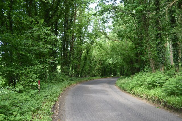
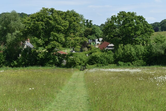
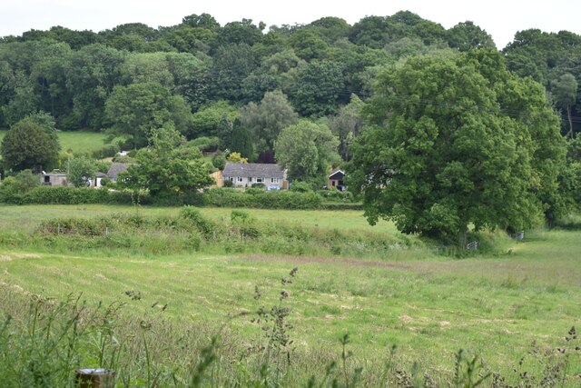
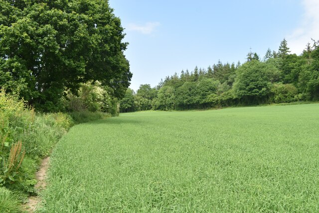
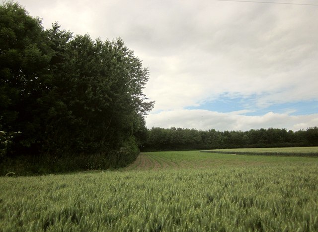
Touching Head Copse is a picturesque wood located in the county of Wiltshire, England. Covering an area of approximately 30 acres, it is a charming forest that offers visitors a tranquil and immersive natural experience.
The copse is primarily composed of a diverse range of deciduous trees, including oak, beech, and ash. These majestic trees provide a dense canopy, creating a shaded and cool environment, especially during hot summer months. The forest floor is adorned with a carpet of wildflowers, ferns, and moss, adding a touch of vibrant color to the woodland.
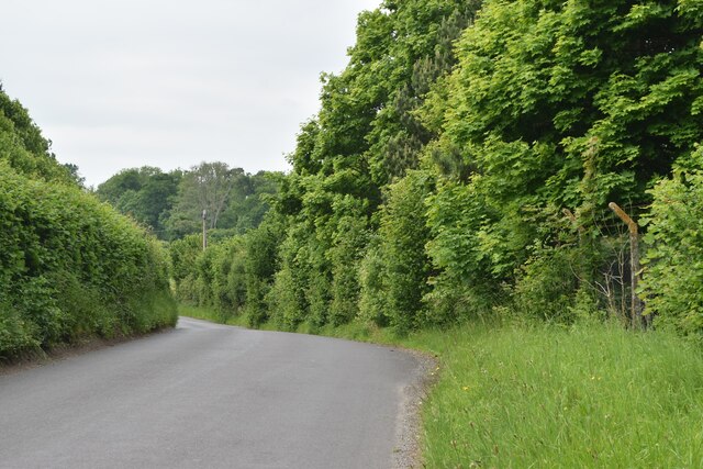
The copse is crisscrossed with a network of well-maintained walking trails, allowing visitors to explore its natural beauty at their own pace. These paths wind through the trees, revealing glimpses of sunlight streaming through the foliage and creating a magical atmosphere. Birdsong fills the air, and keen observers may spot various woodland creatures such as squirrels, rabbits, and deer.
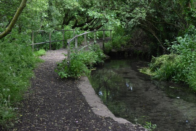
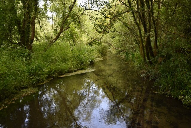
Touching Head Copse is also home to a small stream that meanders through the wood, adding a serene and soothing element to the overall ambiance. The sound of trickling water provides a calming soundtrack, making it an ideal spot for relaxation and reflection.
Managed by a local conservation group, the copse is well-preserved and protected, ensuring the continued existence of this natural gem for generations to come. It serves as an important habitat for a wide range of flora and fauna, contributing to the biodiversity of the region.
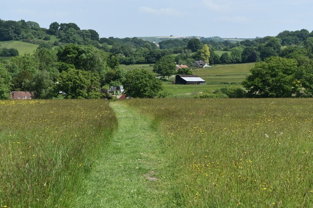
Overall, Touching Head Copse offers a delightful escape from the hustle and bustle of daily life, providing a sanctuary where visitors can connect with nature and enjoy the beauty of the English countryside.
If you have any feedback on the listing, please let us know in the comments section below.
Touching Head Copse Images
Images are sourced within 2km of 51.059997/-2.0052432 or Grid Reference ST9928. Thanks to Geograph Open Source API. All images are credited.
Touching Head Copse is located at Grid Ref: ST9928 (Lat: 51.059997, Lng: -2.0052432)
Unitary Authority: Wiltshire
Police Authority: Wiltshire
What 3 Words
///sheepish.dolly.glad. Near Dinton, Wiltshire
Nearby Locations
Related Wikis

Fovant
Fovant is a village and civil parish in southwest Wiltshire, England, lying about 9 miles (14 km) west of Salisbury on the A30 Salisbury-Shaftesbury road...

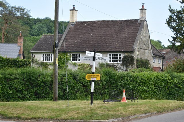
Sutton Mandeville
Sutton Mandeville is a small village and civil parish in Wiltshire, England, in the Nadder valley and towards the east end of the Vale of Wardour. The...
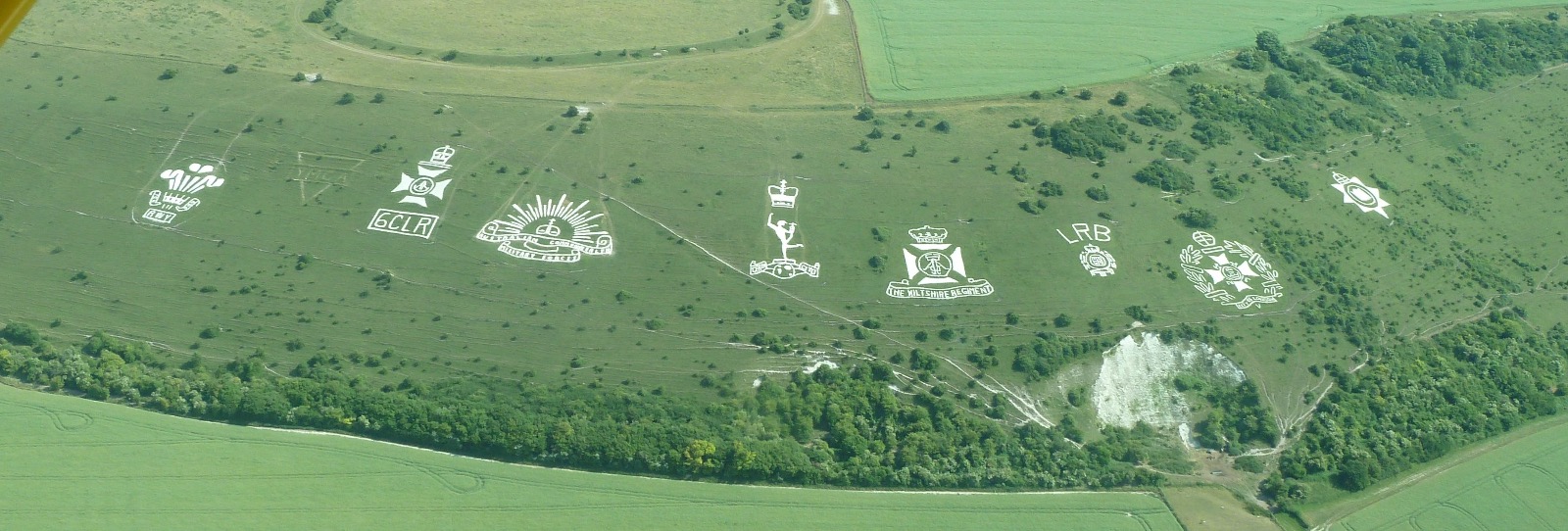
Fovant Badges
The Fovant Badges are a set of regimental badges cut into a chalk hill, Fovant Down, near Fovant, in south-west Wiltshire, England. They are between Salisbury...

Dinton Quarry
Dinton Quarry (grid reference SU006308) is a 3,000 square metre geological Site of Special Scientific Interest in Wiltshire, notified in 1990. This long...
Dinton Railway Cutting
Dinton Railway Cutting (grid reference SU008309) is a 2,600 square metre geological Site of Special Scientific Interest in Wiltshire, notified in 1990...

Chiselbury
Chiselbury is the site of an Iron Age univallate hillfort in Wiltshire, England. The hillfort is sub-circular in plan, and encloses an area of approximately...

Dinton railway station
Dinton railway station is a disused railway station which formerly served Dinton in Wiltshire, England. It was situated on the West of England Main Line...

Teffont Evias
Teffont Evias is a small village and former civil parish, now in the parish of Teffont, on the Nadder valley in the south of Wiltshire, England. Edric...
Related Videos
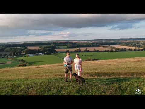
Fovant Badges, Salisbury, Wiltshire
Drone views whilst walking Lulu the black Labrador. #trustedhousesitters.

🇬🇧 Fovant Badges | WWI memorial made by soldiers 🎖
WWI warm memorial chalk hill badges #wiltshire #southeast #fovant #wwi #uk #england #chalk #army #regiment ...
Salisbury Plain on a Honda CRF250 Rally - Part 2
Part 2 takes me South of the Plain along the old Drove Road that runs West of Salisbury. It has some beautiful views, not as open ...

My most nervous passenger… can I get her to relax?
Aviation is not for everyone, but I manage to persuade Linzi (who has a phobia of flying) that going for a flight with me will be a ...
Nearby Amenities
Located within 500m of 51.059997,-2.0052432Have you been to Touching Head Copse?
Leave your review of Touching Head Copse below (or comments, questions and feedback).