Heathy Down Copse
Wood, Forest in Wiltshire
England
Heathy Down Copse
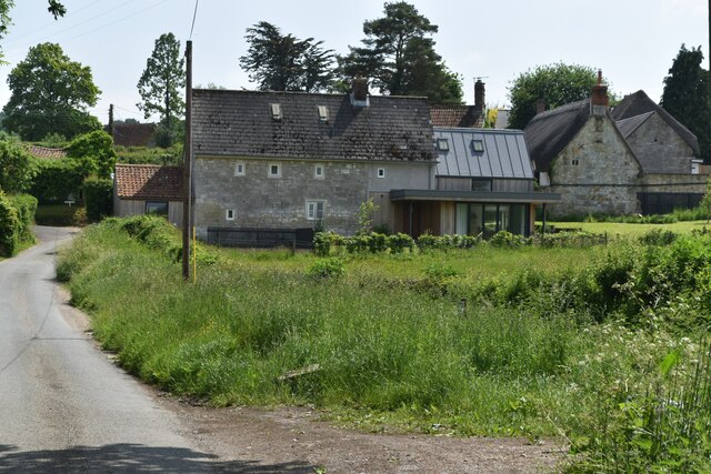
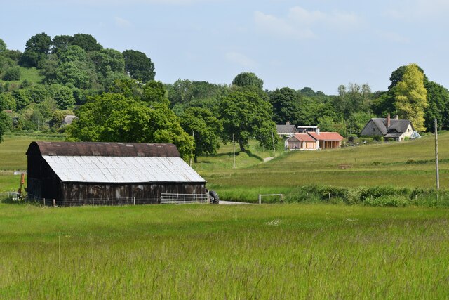
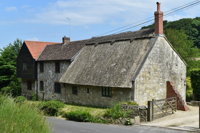
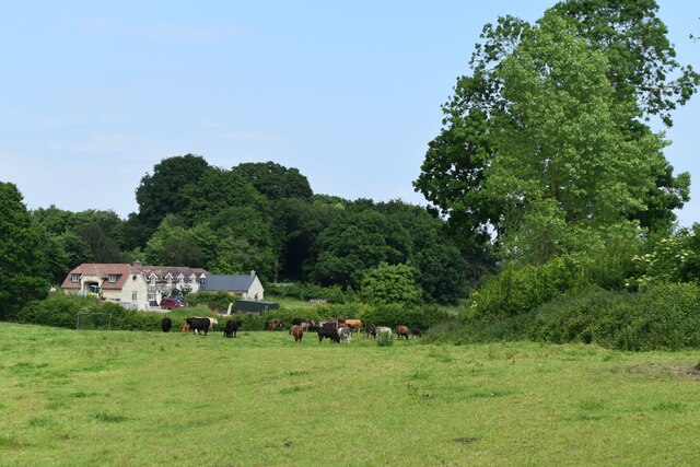
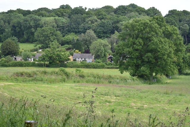
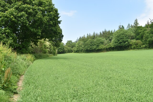
Healthy Down Copse is a picturesque woodland located in the county of Wiltshire, England. Situated near the village of Healthy Down, the copse covers an area of approximately 50 acres and is part of the larger Healthy Down Forest.
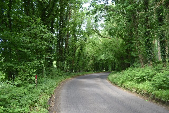
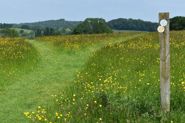
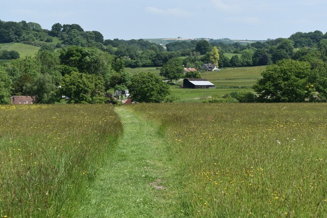
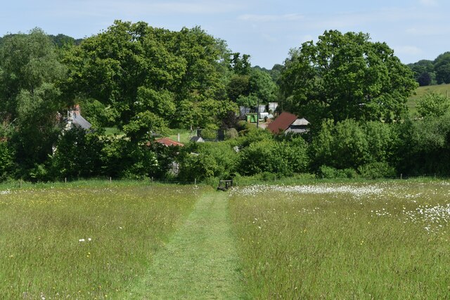
The copse is predominantly composed of mature deciduous trees, including oak, beech, and ash, which create a dense and lush canopy. This provides a haven for a wide variety of flora and fauna, making it a popular destination for nature enthusiasts and wildlife lovers. Bluebells carpet the forest floor during spring, creating a vibrant and enchanting scene.
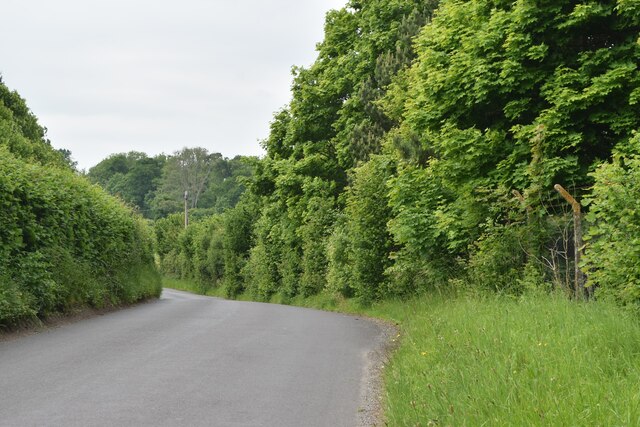
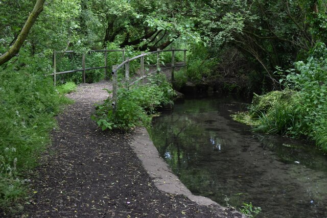
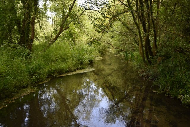
Traversing the copse, a network of well-maintained footpaths offers visitors the opportunity to explore its beauty. These paths wind their way through the woodland, revealing hidden clearings, small streams, and charming bridges. The copse is also home to several small ponds, attracting a diverse range of aquatic wildlife.
Healthy Down Copse is known for its rich birdlife. Birdwatchers flock to the area to catch a glimpse of species such as woodpeckers, nuthatches, and tawny owls that call the copse their home. The woodland is also inhabited by mammals like deer, badgers, and foxes, adding to its biodiversity.
The copse is managed by the local authorities, who ensure the preservation of its natural beauty while providing recreational facilities for visitors. Picnic areas, benches, and information boards are strategically placed throughout the copse, allowing visitors to relax and learn about its flora and fauna.
Overall, Healthy Down Copse is a tranquil and idyllic woodland that offers a peaceful escape from the bustle of everyday life, providing a unique opportunity to immerse oneself in nature.
If you have any feedback on the listing, please let us know in the comments section below.
Heathy Down Copse Images
Images are sourced within 2km of 51.056651/-2.01222 or Grid Reference ST9928. Thanks to Geograph Open Source API. All images are credited.
Heathy Down Copse is located at Grid Ref: ST9928 (Lat: 51.056651, Lng: -2.01222)
Unitary Authority: Wiltshire
Police Authority: Wiltshire
What 3 Words
///hurry.scanty.busters. Near Dinton, Wiltshire
Nearby Locations
Related Wikis

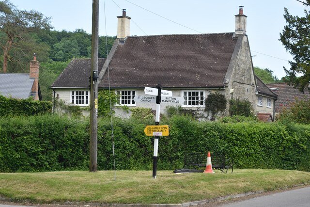
Sutton Mandeville
Sutton Mandeville is a small village and civil parish in Wiltshire, England, in the Nadder valley and towards the east end of the Vale of Wardour. The...

Fovant
Fovant is a village and civil parish in southwest Wiltshire, England, lying about 9 miles (14 km) west of Salisbury on the A30 Salisbury-Shaftesbury road...
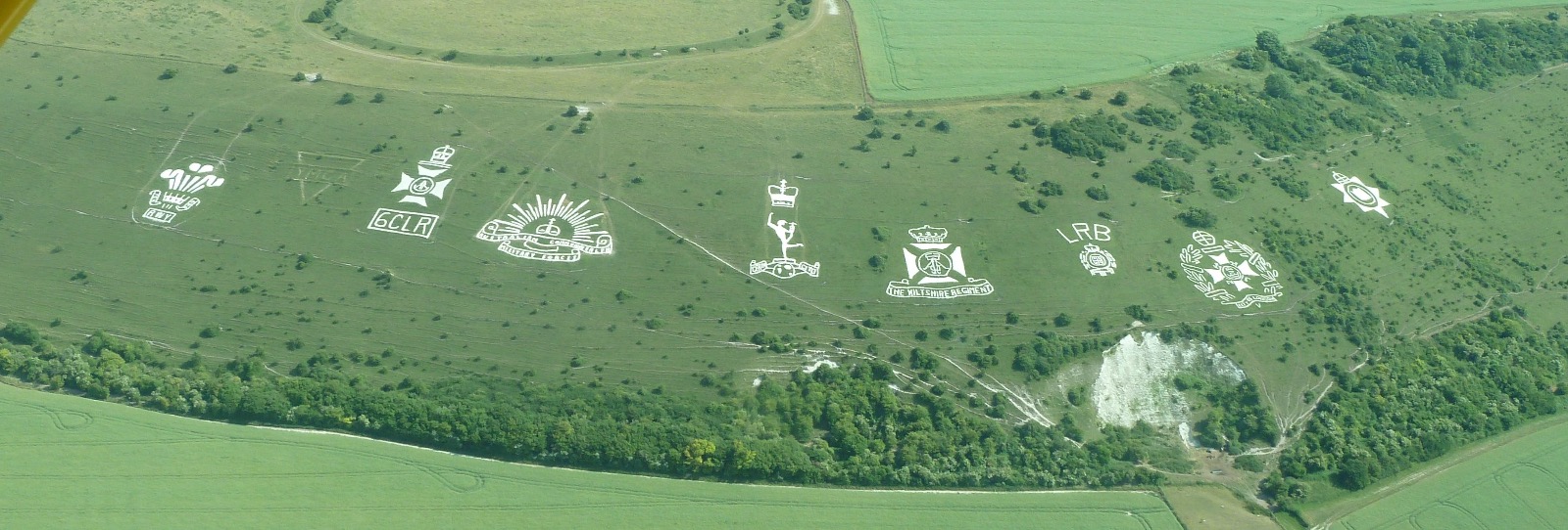
Fovant Badges
The Fovant Badges are a set of regimental badges cut into a chalk hill, Fovant Down, near Fovant, in south-west Wiltshire, England. They are between Salisbury...

Dinton Quarry
Dinton Quarry (grid reference SU006308) is a 3,000 square metre geological Site of Special Scientific Interest in Wiltshire, notified in 1990. This long...

Chiselbury
Chiselbury is the site of an Iron Age univallate hillfort in Wiltshire, England. The hillfort is sub-circular in plan, and encloses an area of approximately...

Lower Chicksgrove
Lower Chicksgrove is a hamlet on the north bank of the River Nadder in the south of the county of Wiltshire, England, within the Vale of Wardour. It is...

Teffont Evias
Teffont Evias is a small village and former civil parish, now in the parish of Teffont, on the Nadder valley in the south of Wiltshire, England. Edric...
Dinton Railway Cutting
Dinton Railway Cutting (grid reference SU008309) is a 2,600 square metre geological Site of Special Scientific Interest in Wiltshire, notified in 1990...
Nearby Amenities
Located within 500m of 51.056651,-2.01222Have you been to Heathy Down Copse?
Leave your review of Heathy Down Copse below (or comments, questions and feedback).