Kimmeridge Hill Copse
Wood, Forest in Dorset
England
Kimmeridge Hill Copse
Kimmeridge Hill Copse is a beautiful woodland located in the county of Dorset, England. Situated on the slopes of Kimmeridge Hill, the copse covers an area of approximately 15 hectares and is known for its diverse flora and fauna.
The copse is primarily composed of broadleaved trees, including oak, ash, beech, and hazel. These deciduous trees create a dense canopy that provides shade and shelter for a wide range of plant species. The forest floor is adorned with a carpet of wildflowers such as bluebells, primroses, and wood anemones during the spring months.
The woodland is home to a variety of wildlife, making it a popular spot for nature enthusiasts. Birdwatchers can spot species such as woodpeckers, nightjars, and tawny owls, while woodland mammals like badgers, foxes, and deer can also be seen here. Additionally, the copse is known for its diverse insect population, including butterflies, beetles, and dragonflies.
Kimmeridge Hill Copse is not only a haven for wildlife but also a place of historical significance. In the past, the copse was used as a source for charcoal production, and remnants of these activities can still be found within the woodland. The area is also home to several archaeological sites, including ancient burial mounds and earthworks.
Visitors to Kimmeridge Hill Copse can enjoy a peaceful and tranquil environment, perfect for walking, picnicking, and exploring nature. The copse is easily accessible by foot and is located near the picturesque village of Kimmeridge, offering stunning views of the surrounding countryside and the iconic Jurassic Coastline.
If you have any feedback on the listing, please let us know in the comments section below.
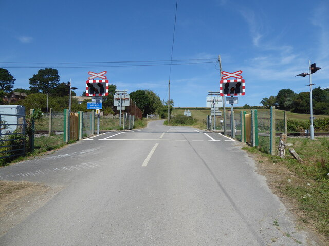
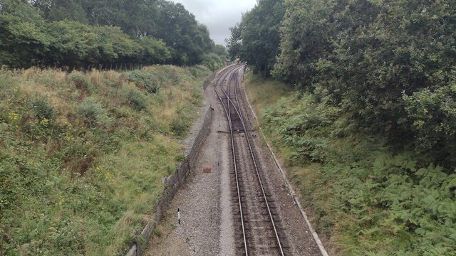
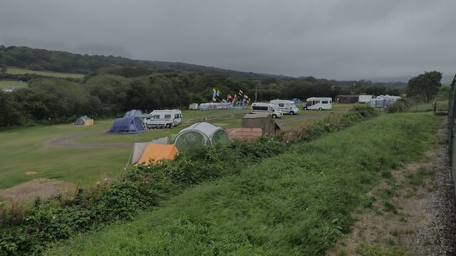
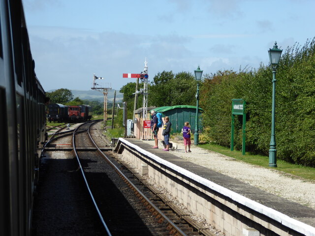
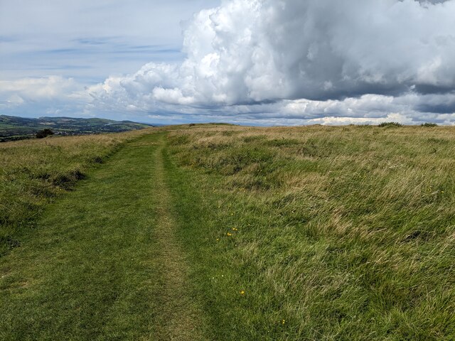
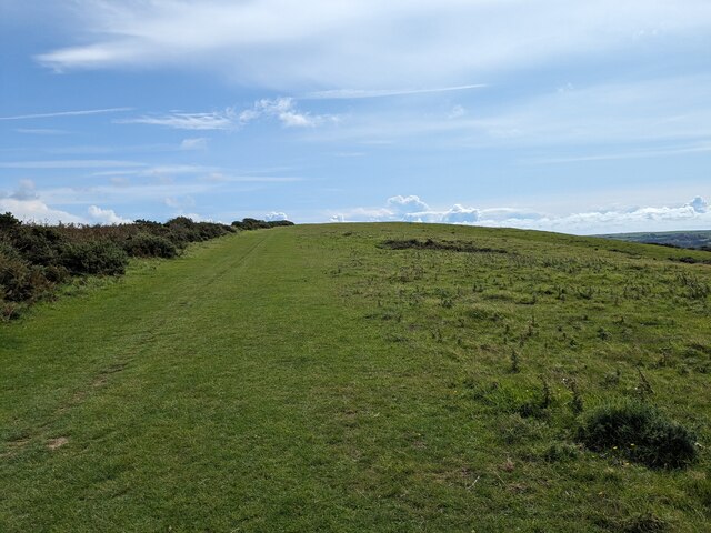
Kimmeridge Hill Copse Images
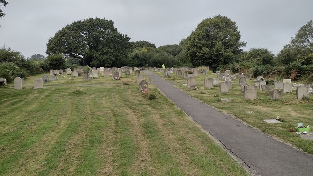
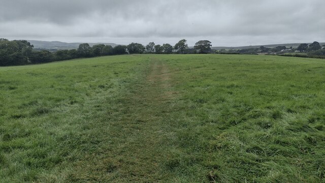
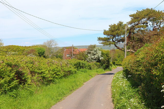
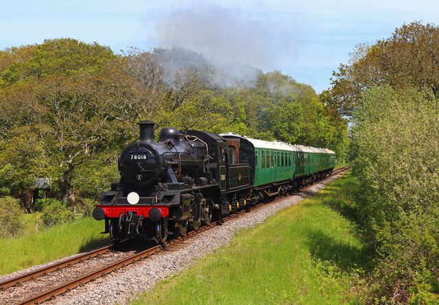
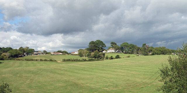
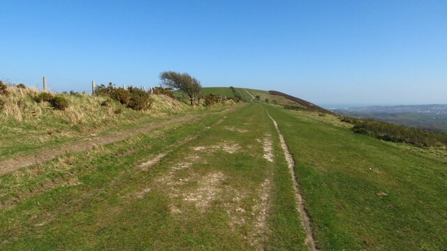
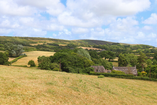
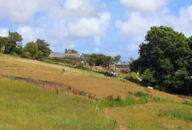
Images are sourced within 2km of 50.627494/-2.0121484 or Grid Reference SY9980. Thanks to Geograph Open Source API. All images are credited.
Kimmeridge Hill Copse is located at Grid Ref: SY9980 (Lat: 50.627494, Lng: -2.0121484)
Unitary Authority: Dorset
Police Authority: Dorset
What 3 Words
///wimp.shoulders.skipped. Near Corfe Castle, Dorset
Nearby Locations
Related Wikis

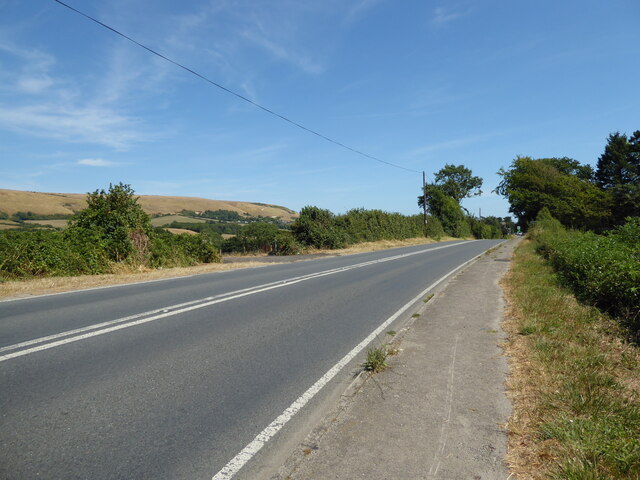
Harman's Cross
Harman's Cross is a small village on the Isle of Purbeck in Dorset, England. It is situated on the A351 road between Swanage and Corfe Castle. The village...

Woolgarston
Woolgarston is a village in Dorset, England. == External links == Media related to Woolgarston at Wikimedia Commons

Rempstone Stone Circle
Rempstone Stone Circle (grid reference SY994820) is a stone circle located near to Corfe Castle on the Isle of Purbeck in the south-western English county...

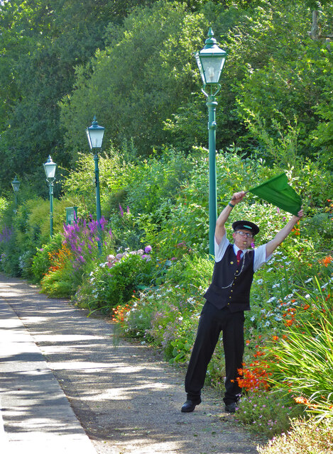
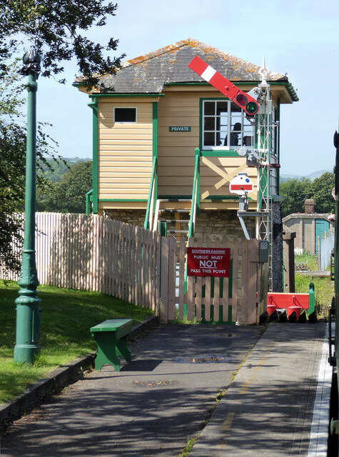
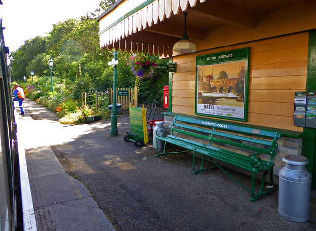
Harman's Cross railway station
Harman's Cross railway station is a railway station located in the village of Harman's Cross, on the Isle of Purbeck in the English county of Dorset. It...

Nine Barrow Down
Nine Barrow Down is an elongated hill forming the northern ridge of the Purbeck Hills on the Isle of Purbeck in Dorset, England. The chalk down is part...

Rowbarrow Hundred
Rowbarrow Hundred or Rowberrow Hundred was a hundred in the county of Dorset, England, containing the following parishes: Langton Matravers Studland Swanage...

The Old Malthouse School
The Old Malthouse School (The OMH) was a preparatory school in the village of Langton Matravers near Swanage in the Isle of Purbeck, Dorset, United Kingdom...
Durnford School
Durnford School was an English preparatory school for boys which opened in 1894 on the Isle of Purbeck in Dorset. The school occupied Durnford House, in...
Nearby Amenities
Located within 500m of 50.627494,-2.0121484Have you been to Kimmeridge Hill Copse?
Leave your review of Kimmeridge Hill Copse below (or comments, questions and feedback).