Mount Copse
Wood, Forest in Dorset
England
Mount Copse
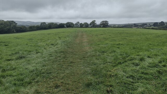
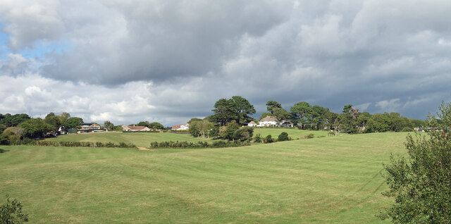
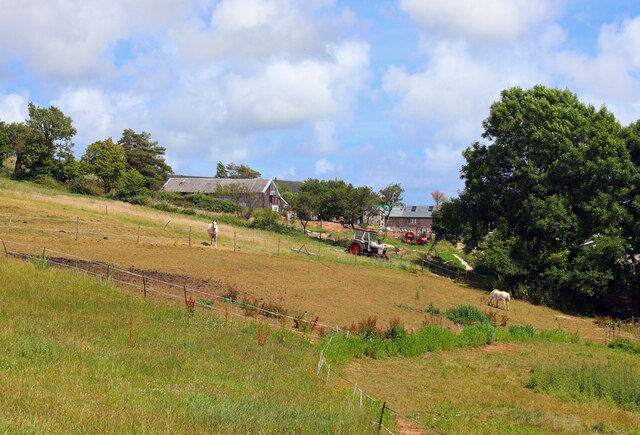
Mount Copse is a picturesque woodland located in the county of Dorset, England. Situated in the heart of the county, near the village of Copse Hill, this woodland covers an area of approximately 500 acres. It is renowned for its natural beauty and serves as a popular recreational spot for both locals and tourists.
The forest is primarily composed of broadleaf trees such as oak, beech, and ash, creating a vibrant and diverse ecosystem. The dense canopy provides ample shade, making it a perfect destination for hikers and nature enthusiasts, particularly during the summer months.
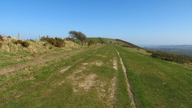
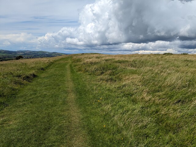
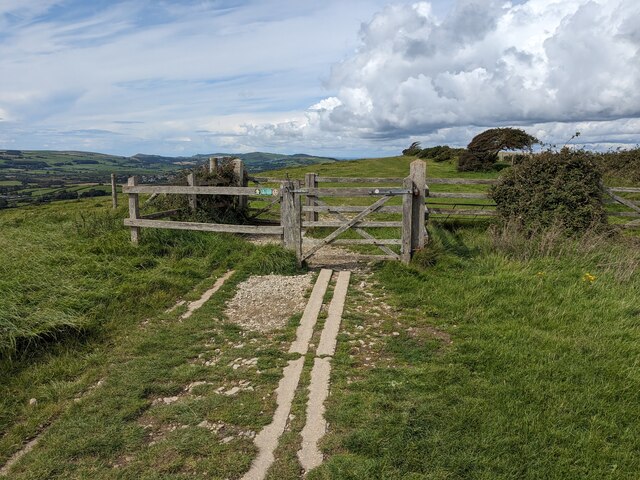
Trails and footpaths crisscross throughout the woodland, allowing visitors to explore the area at their own pace. These paths are well-maintained and marked, ensuring a safe and enjoyable experience for all. Along the way, one can discover various species of wildlife, including deer, squirrels, and a myriad of bird species, making it a haven for birdwatchers.
The natural beauty of Mount Copse is enhanced by the presence of a small stream that meanders through the forest, providing a tranquil soundtrack to the surrounding flora and fauna. The stream also offers the opportunity for visitors to engage in activities like fishing or simply relaxing by the water's edge.
Mount Copse is easily accessible, with ample parking available nearby. It offers a peaceful retreat from the hustle and bustle of everyday life, allowing visitors to connect with nature and recharge their spirits. Whether it is for a leisurely stroll, a picnic, or a day of exploring, Mount Copse is a must-visit destination for anyone seeking a serene and enchanting woodland experience in Dorset.
If you have any feedback on the listing, please let us know in the comments section below.
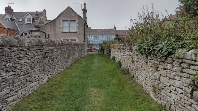
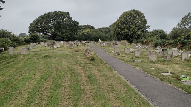
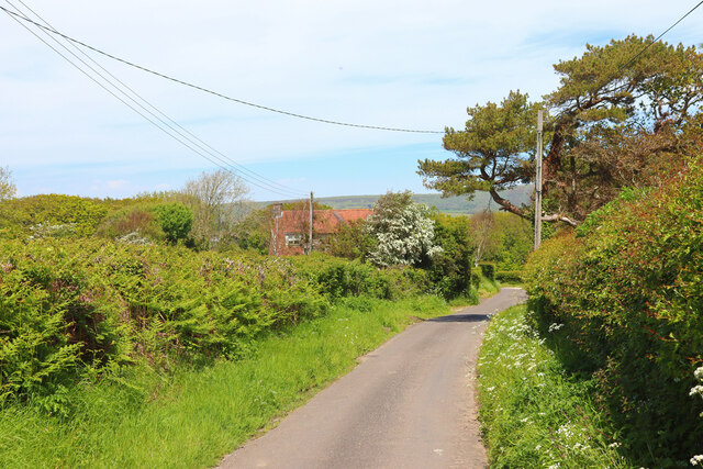
Mount Copse Images
Images are sourced within 2km of 50.624509/-2.007963 or Grid Reference SY9980. Thanks to Geograph Open Source API. All images are credited.

Mount Copse is located at Grid Ref: SY9980 (Lat: 50.624509, Lng: -2.007963)
Unitary Authority: Dorset
Police Authority: Dorset
What 3 Words
///freshest.hounded.voltages. Near Swanage, Dorset
Nearby Locations
Related Wikis

Woolgarston
Woolgarston is a village in Dorset, England. == External links == Media related to Woolgarston at Wikimedia Commons

Harman's Cross
Harman's Cross is a small village on the Isle of Purbeck in Dorset, England. It is situated on the A351 road between Swanage and Corfe Castle. The village...

Nine Barrow Down
Nine Barrow Down is an elongated hill forming the northern ridge of the Purbeck Hills on the Isle of Purbeck in Dorset, England. The chalk down is part...

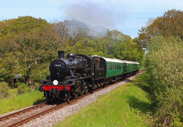
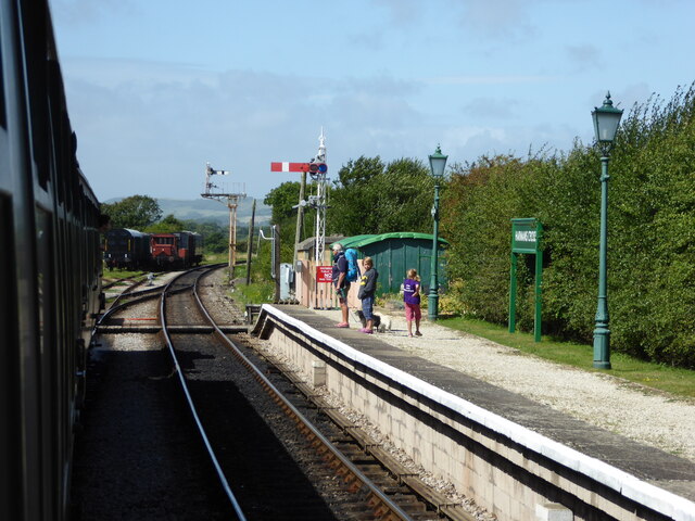
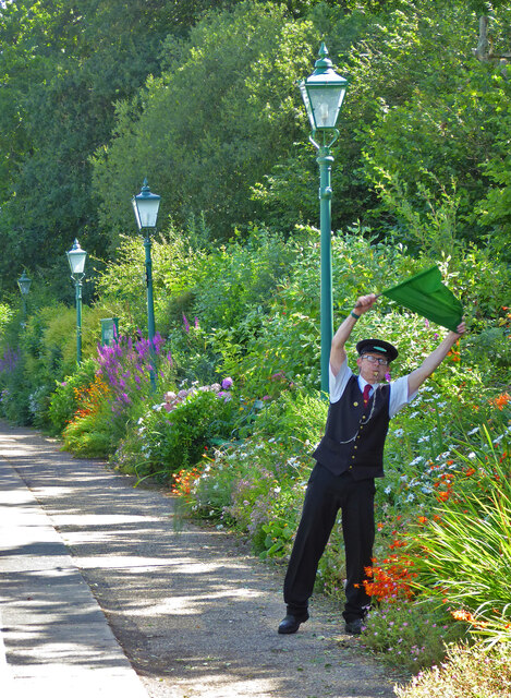
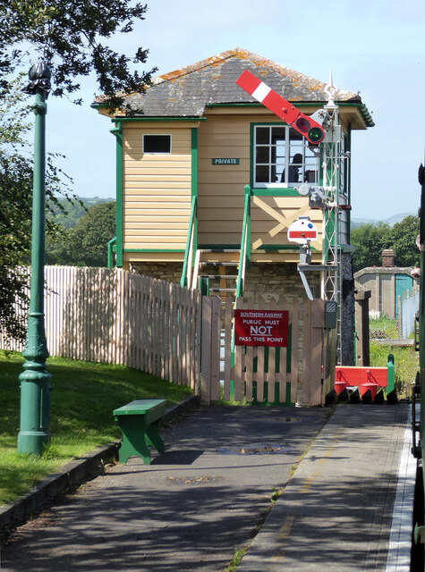
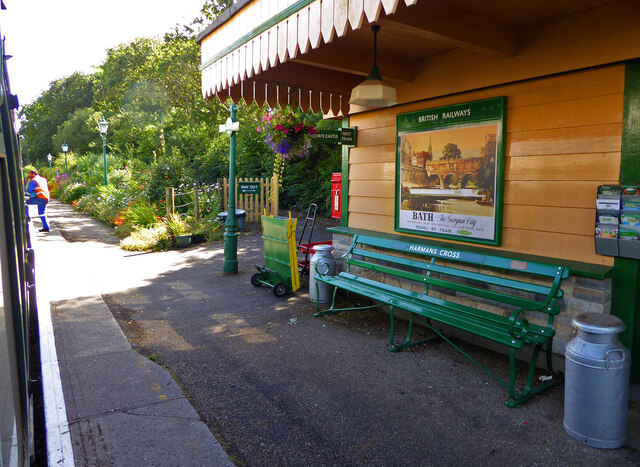
Harman's Cross railway station
Harman's Cross railway station is a railway station located in the village of Harman's Cross, on the Isle of Purbeck in the English county of Dorset. It...

Rempstone Stone Circle
Rempstone Stone Circle (grid reference SY994820) is a stone circle located near to Corfe Castle on the Isle of Purbeck in the south-western English county...

The Old Malthouse School
The Old Malthouse School (The OMH) was a preparatory school in the village of Langton Matravers near Swanage in the Isle of Purbeck, Dorset, United Kingdom...

Durnford School
Durnford School was an English preparatory school for boys which opened in 1894 on the Isle of Purbeck in Dorset. The school occupied Durnford House, in...

Langton Matravers
Langton Matravers () is a village and civil parish on the Isle of Purbeck, in the county of Dorset in the south of England. It is situated about 2 miles...
Nearby Amenities
Located within 500m of 50.624509,-2.007963Have you been to Mount Copse?
Leave your review of Mount Copse below (or comments, questions and feedback).