Rickett's Copse
Wood, Forest in Dorset
England
Rickett's Copse
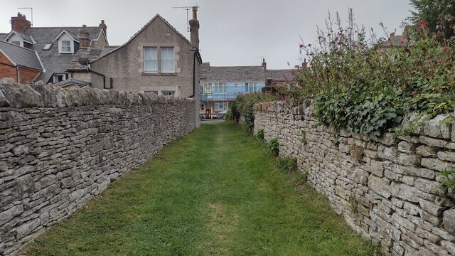
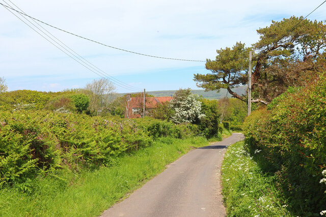
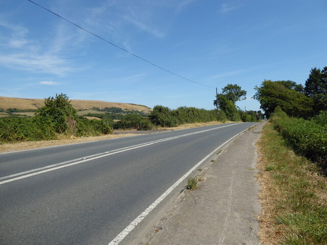
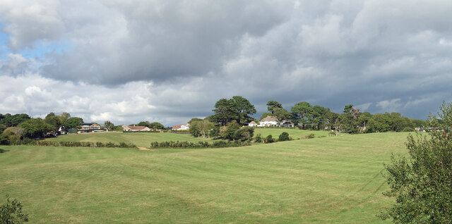
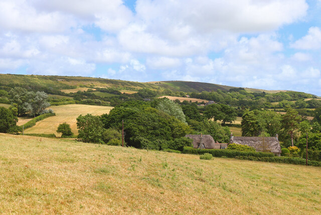
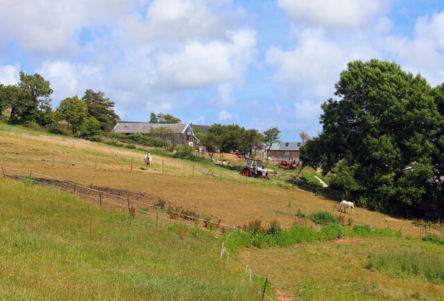
Rickett's Copse is a picturesque woodland located in the county of Dorset, England. Situated near the town of Wimborne Minster, this woodland is a popular destination for nature enthusiasts and outdoor enthusiasts alike.
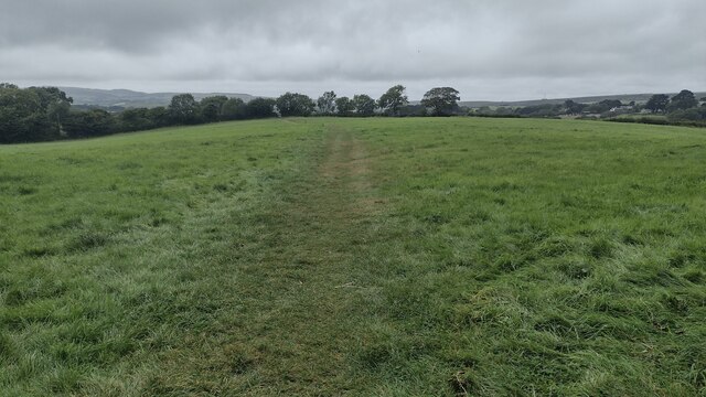
Covering an area of approximately 50 acres, Rickett's Copse is characterized by its diverse range of flora and fauna. The woodland is primarily composed of broadleaf trees, including oak, beech, and ash, which create a dense canopy overhead. This canopy provides a cool and shaded environment, even on hot summer days.
The forest floor is covered in a rich carpet of mosses, ferns, and wildflowers, adding to the enchanting atmosphere of the copse. These undergrowth plants attract a variety of insects, birds, and small mammals, making it a haven for wildlife.
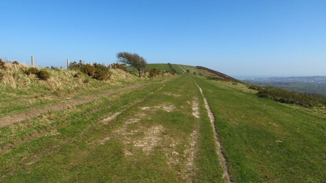
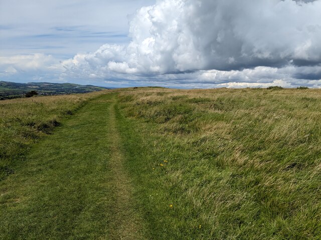
Trails wind through Rickett's Copse, allowing visitors to explore the woodland at their own pace. These paths are well-maintained and provide easy access for walkers, joggers, and cyclists. Along the way, visitors have the opportunity to spot woodland creatures such as squirrels, badgers, and deer.
Rickett's Copse is also known for its historical significance. It is believed that the woodland was once part of an ancient hunting ground, dating back to medieval times. Some remnants of this history, such as old boundary markers, can still be found within the copse.
Overall, Rickett's Copse offers a tranquil escape from the hustle and bustle of modern life. Its natural beauty and peaceful ambiance make it a perfect destination for those seeking solace in nature.
If you have any feedback on the listing, please let us know in the comments section below.
Rickett's Copse Images
Images are sourced within 2km of 50.623097/-2.0097864 or Grid Reference SY9980. Thanks to Geograph Open Source API. All images are credited.
Rickett's Copse is located at Grid Ref: SY9980 (Lat: 50.623097, Lng: -2.0097864)
Unitary Authority: Dorset
Police Authority: Dorset
What 3 Words
///passports.maybe.saves. Near Swanage, Dorset
Nearby Locations
Related Wikis

Woolgarston
Woolgarston is a village in Dorset, England. == External links == Media related to Woolgarston at Wikimedia Commons

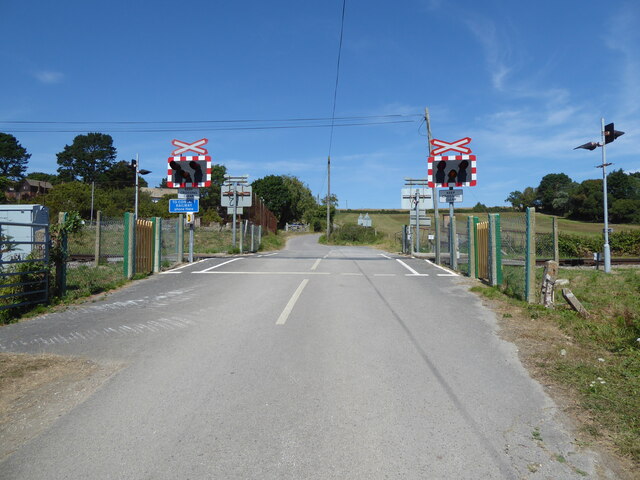
Harman's Cross
Harman's Cross is a small village on the Isle of Purbeck in Dorset, England. It is situated on the A351 road between Swanage and Corfe Castle. The village...

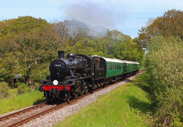
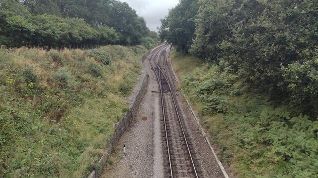
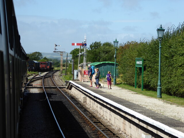
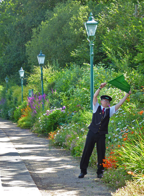
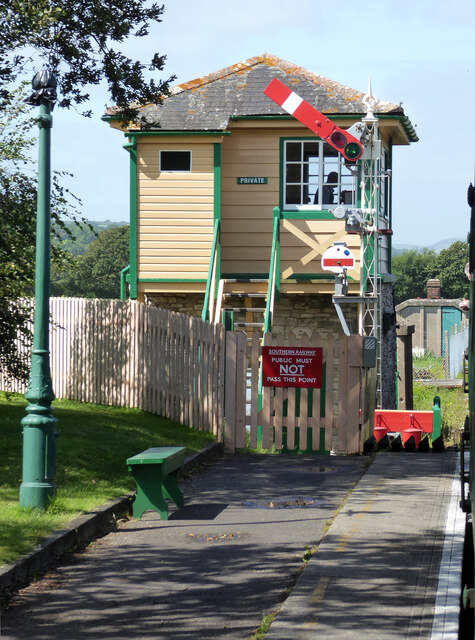
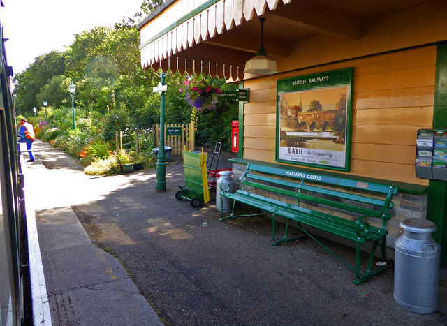
Harman's Cross railway station
Harman's Cross railway station is a railway station located in the village of Harman's Cross, on the Isle of Purbeck in the English county of Dorset. It...

The Old Malthouse School
The Old Malthouse School (The OMH) was a preparatory school in the village of Langton Matravers near Swanage in the Isle of Purbeck, Dorset, United Kingdom...

Durnford School
Durnford School was an English preparatory school for boys which opened in 1894 on the Isle of Purbeck in Dorset. The school occupied Durnford House, in...

Nine Barrow Down
Nine Barrow Down is an elongated hill forming the northern ridge of the Purbeck Hills on the Isle of Purbeck in Dorset, England. The chalk down is part...

Langton Matravers
Langton Matravers () is a village and civil parish on the Isle of Purbeck, in the county of Dorset in the south of England. It is situated about 2 miles...

Rempstone Stone Circle
Rempstone Stone Circle (grid reference SY994820) is a stone circle located near to Corfe Castle on the Isle of Purbeck in the south-western English county...
Related Videos

Solo Hiking & Wild Camping Along England's Jurassic Coast
In May 2022, I escaped London for 24 hours and hit up a section of the Jurassic Coast. Hiking alone from Worth Matravers, I wild ...
The Purbecks & Corfe Castle, 10 Miles along The Purbeck Hills
Started the year off with 10 mile hike along the Purbeck Hills at the beginning of Jan. Probably one of my favourite walks so far, ...

VLOG | OUR FIRST HOLIDAY AS PARENTS | ISLE OF PURBECK, DORSET | COME EXPLORE WITH US!
Welcome to our first ever vlog!! Join us on or first holiday as a family of 4 - We stayed in a cute little Shepard's hut in the Isle Of ...

CORFE and the Isle of Purbeck - an epic hike in DORSET. The Jurassic Coast World Heritage Site. UK
Need a short break in the UK? How about dorset? Dorset, Part of the Jurassic Coast World Heritage Site, this is a big one in Corfe ...
Nearby Amenities
Located within 500m of 50.623097,-2.0097864Have you been to Rickett's Copse?
Leave your review of Rickett's Copse below (or comments, questions and feedback).