Dean Copse
Wood, Forest in Wiltshire
England
Dean Copse
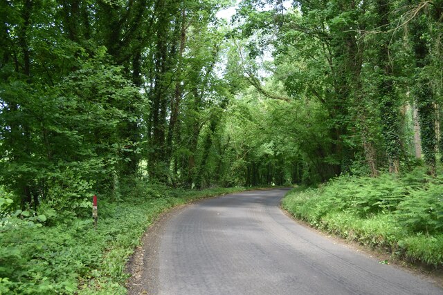
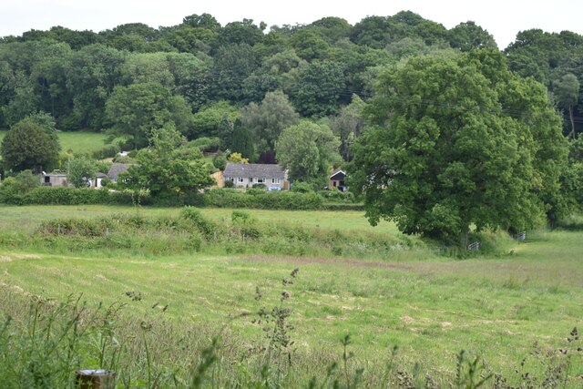
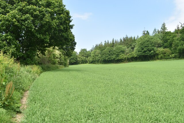
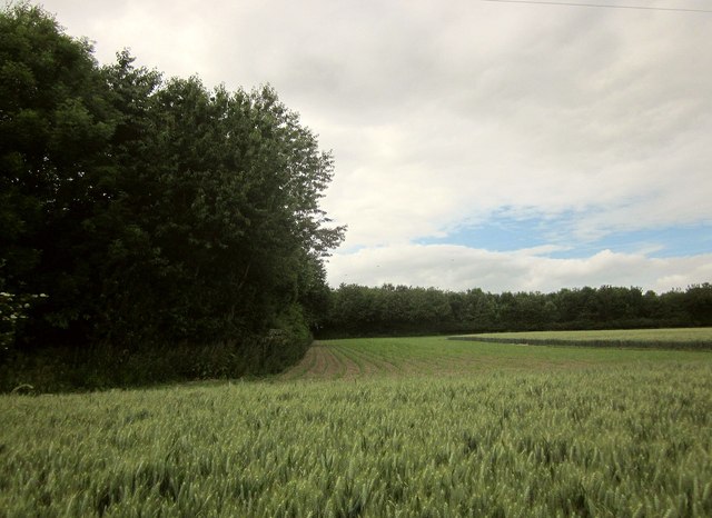
Dean Copse is a picturesque woodland situated in the county of Wiltshire, England. Spanning an area of approximately 50 hectares, this ancient forest is known for its dense foliage and diverse range of tree species. The copse is located near the village of Dean, offering a serene and tranquil escape from the bustling city life.
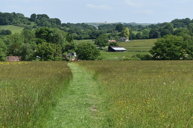
The woodland is predominantly made up of deciduous trees, including oak, ash, and beech, which provide a rich canopy of greenery throughout the year. These towering trees create a habitat for a variety of wildlife, such as squirrels, deer, and a wide array of bird species, making it a popular spot for nature enthusiasts and birdwatchers.
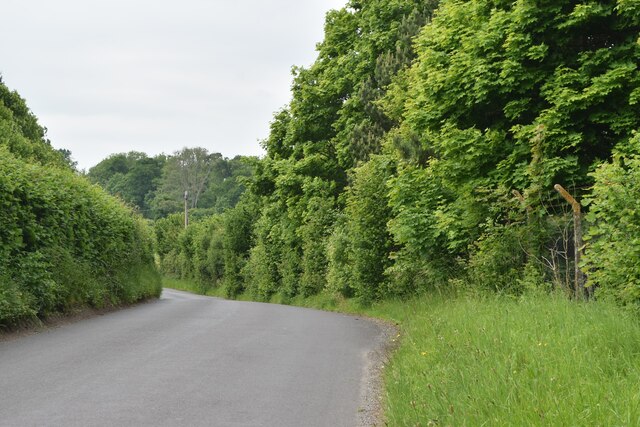
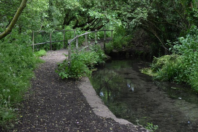
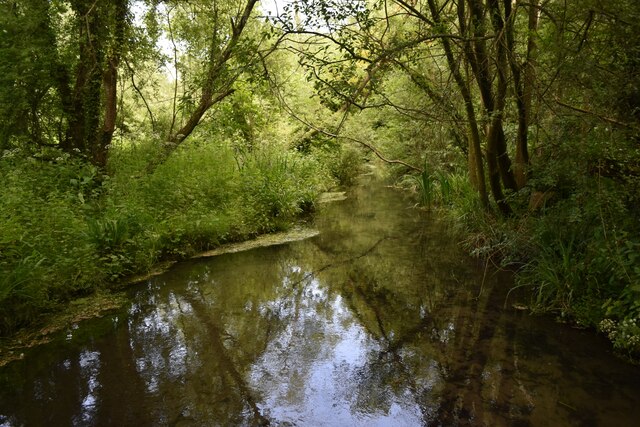
Dean Copse boasts a network of well-maintained walking trails, allowing visitors to explore the natural beauty at their own pace. The paths wind through the forest, offering glimpses of wildflowers, moss-covered rocks, and babbling brooks. The peaceful atmosphere and the soothing sounds of nature make it an ideal location for those seeking solace and a break from the demands of everyday life.
The copse is particularly enchanting during the autumn months when the leaves change color, painting the forest in vibrant hues of red, orange, and gold. This natural spectacle attracts photographers and artists, eager to capture the captivating beauty of the woodland.
Dean Copse is a treasured natural gem in Wiltshire, offering a haven for both wildlife and humans alike. Whether it's a leisurely stroll, a birdwatching expedition, or simply a desire to reconnect with nature, this enchanting forest provides a memorable experience for all who visit.
If you have any feedback on the listing, please let us know in the comments section below.
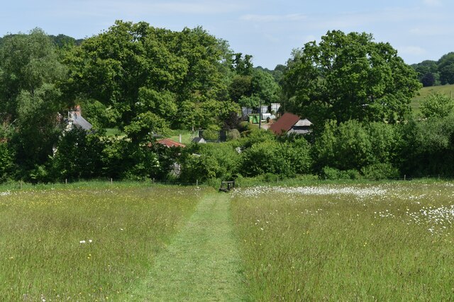
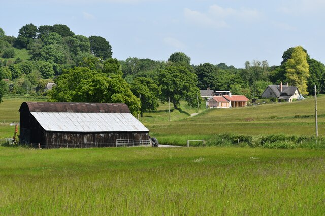
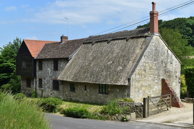
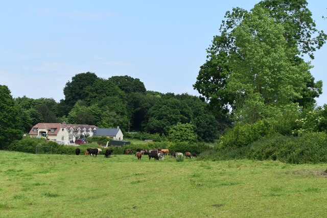
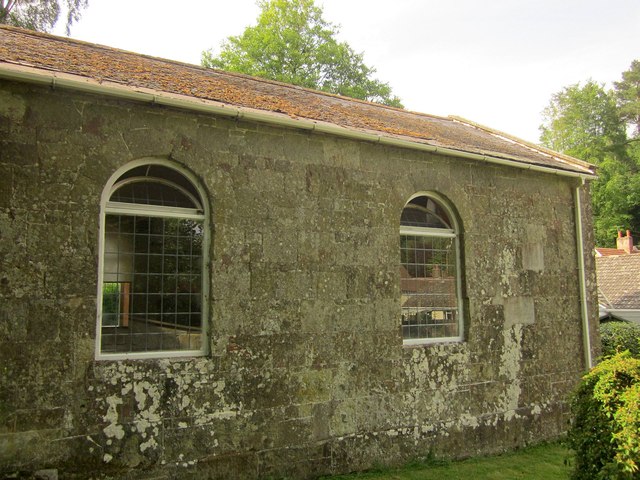
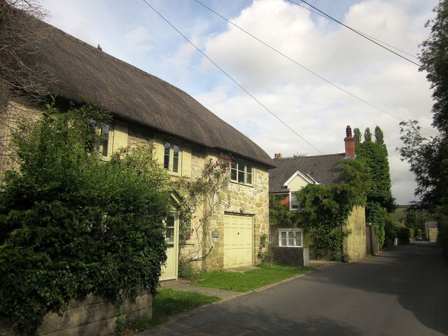
Dean Copse Images
Images are sourced within 2km of 51.056822/-2.0088099 or Grid Reference ST9928. Thanks to Geograph Open Source API. All images are credited.
Dean Copse is located at Grid Ref: ST9928 (Lat: 51.056822, Lng: -2.0088099)
Unitary Authority: Wiltshire
Police Authority: Wiltshire
What 3 Words
///riverside.talents.pass. Near Dinton, Wiltshire
Nearby Locations
Related Wikis

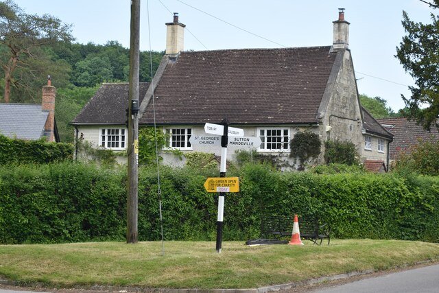
Sutton Mandeville
Sutton Mandeville is a small village and civil parish in Wiltshire, England, in the Nadder valley and towards the east end of the Vale of Wardour. The...

Fovant
Fovant is a village and civil parish in southwest Wiltshire, England, lying about 9 miles (14 km) west of Salisbury on the A30 Salisbury-Shaftesbury road...
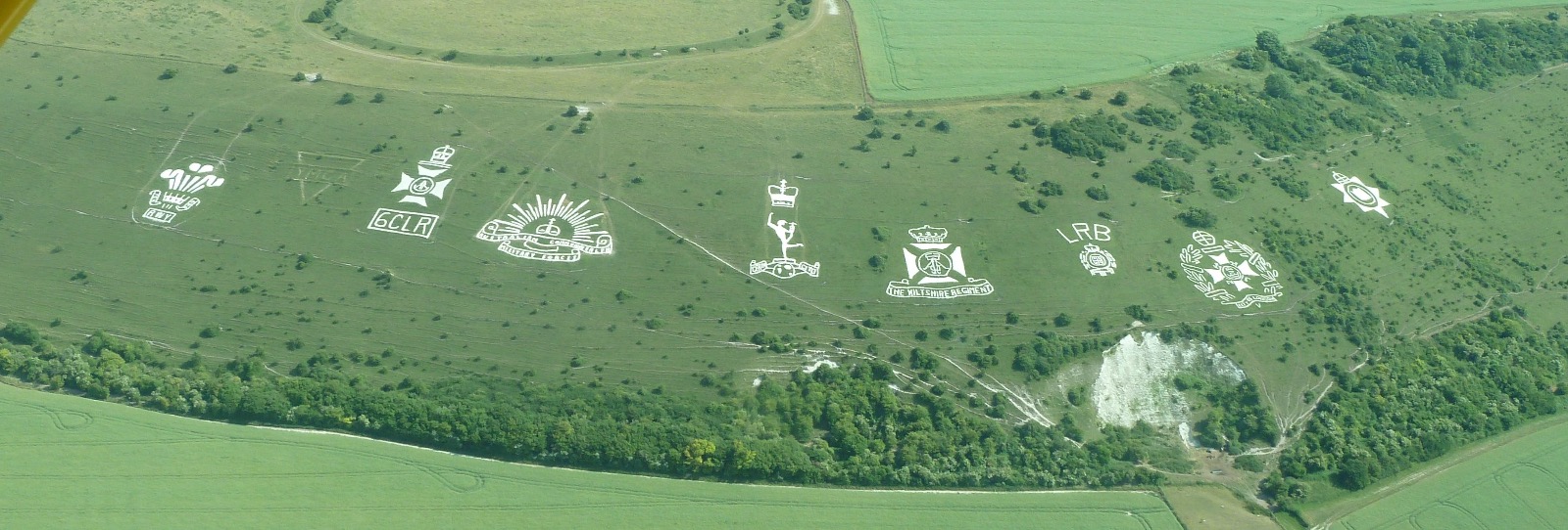
Fovant Badges
The Fovant Badges are a set of regimental badges cut into a chalk hill, Fovant Down, near Fovant, in south-west Wiltshire, England. They are between Salisbury...

Chiselbury
Chiselbury is the site of an Iron Age univallate hillfort in Wiltshire, England. The hillfort is sub-circular in plan, and encloses an area of approximately...

Dinton Quarry
Dinton Quarry (grid reference SU006308) is a 3,000 square metre geological Site of Special Scientific Interest in Wiltshire, notified in 1990. This long...
Dinton Railway Cutting
Dinton Railway Cutting (grid reference SU008309) is a 2,600 square metre geological Site of Special Scientific Interest in Wiltshire, notified in 1990...

Teffont Evias
Teffont Evias is a small village and former civil parish, now in the parish of Teffont, on the Nadder valley in the south of Wiltshire, England. Edric...

Dinton railway station
Dinton railway station is a disused railway station which formerly served Dinton in Wiltshire, England. It was situated on the West of England Main Line...
Nearby Amenities
Located within 500m of 51.056822,-2.0088099Have you been to Dean Copse?
Leave your review of Dean Copse below (or comments, questions and feedback).