Lawn Wood
Wood, Forest in Staffordshire Staffordshire Moorlands
England
Lawn Wood
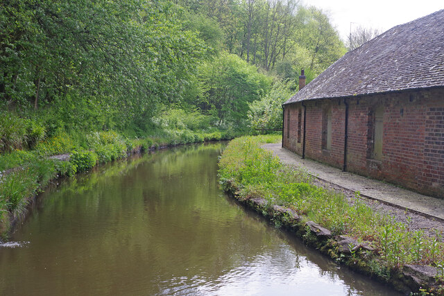
Lawn Wood is a picturesque forest located in the county of Staffordshire, England. Covering an area of approximately 100 acres, it is a popular destination for nature enthusiasts and outdoor enthusiasts alike. The wood is situated near the small village of Lawn, and is easily accessible by both car and foot.
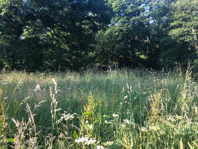
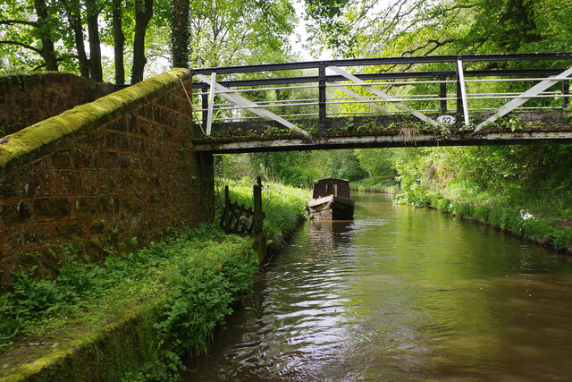
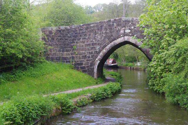
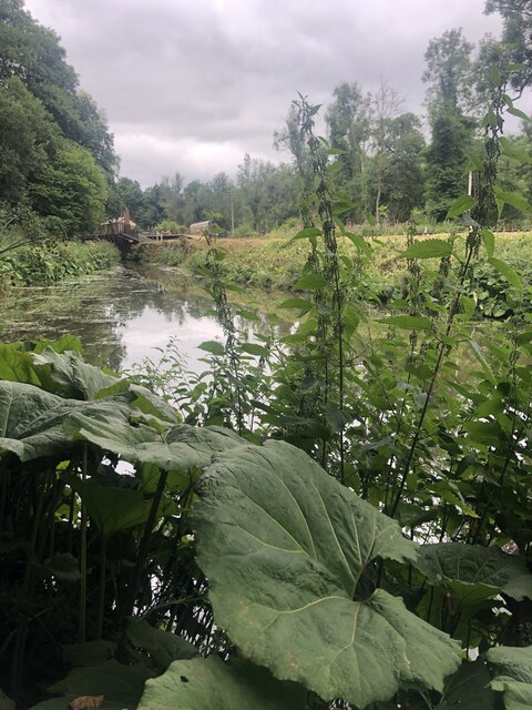
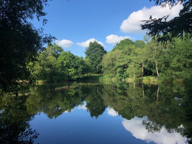
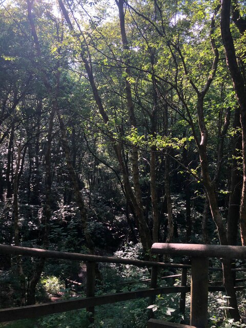
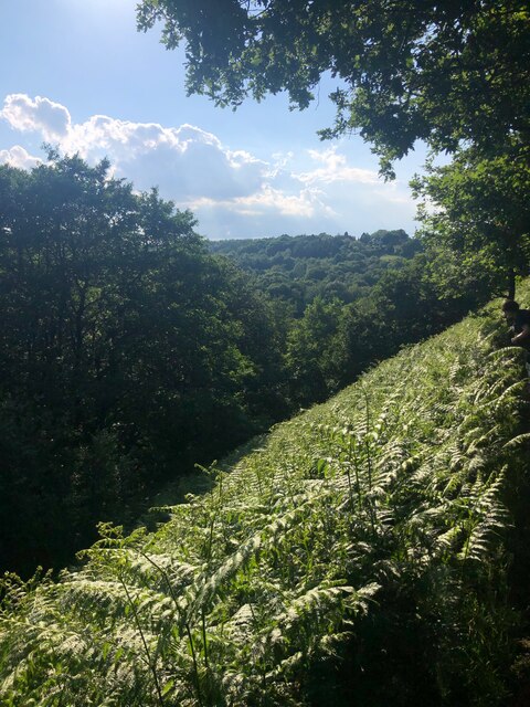
The woodland boasts a diverse range of flora and fauna, making it a haven for wildlife. Visitors can expect to see a variety of native trees such as oak, ash, and silver birch, which provide a dense canopy of shade in the summer months. The forest floor is adorned with a carpet of bluebells in the spring, creating a stunning display of color.
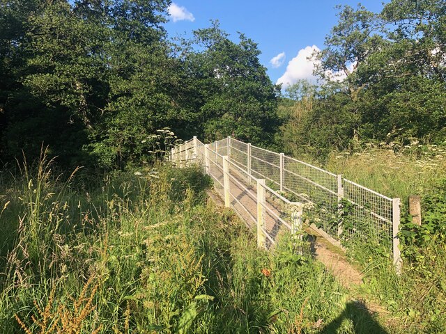
Lawn Wood offers a network of well-maintained footpaths and trails, making it an ideal location for walking, hiking, and jogging. These paths wind their way through the forest, offering visitors the opportunity to explore its hidden nooks and crannies. Along the way, one might encounter squirrels, rabbits, and a multitude of bird species, including woodpeckers and owls.
In addition to its natural beauty, Lawn Wood also holds historical significance. It is believed that the woodland has been in existence for centuries, and remnants of ancient settlements have been discovered within its boundaries. The wood has also served as a source of timber for local communities throughout the years.
Overall, Lawn Wood is a captivating destination that offers a tranquil escape from the hustle and bustle of everyday life. With its stunning scenery and abundant wildlife, it is a must-visit for nature lovers and those seeking a peaceful retreat in the heart of Staffordshire.
If you have any feedback on the listing, please let us know in the comments section below.
Lawn Wood Images
Images are sourced within 2km of 53.033205/-2.0054764 or Grid Reference SJ9948. Thanks to Geograph Open Source API. All images are credited.
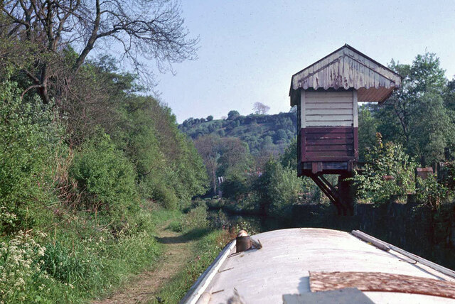

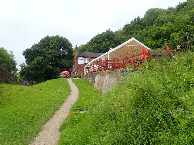
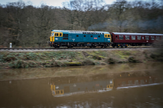
![Consall Station from the Caldon Canal towpath A preserved railway line near Leek in Staffordshire, running from Froghall up the valley to Cheddleton with one intermediate stop at Consall, and (since 2011) on an extension to a former quarry at Cauldon Low, where as of 2012 there is no station. The society has plans to connect to the national network at Stoke-on-Trent.
The lines were originally constructed by the North Staffordshire Railway (the &quot;Knotty&quot;). According to one writer, &quot;the buildings on the Churnet Valley line are of local stone, straightforwardly neo-Tudor, and effective&quot; [Lloyd &amp; Insall, &quot;Railway Station Architecture&quot;, David &amp; Charles 1978, p.17].](https://s1.geograph.org.uk/geophotos/07/51/43/7514373_0f9ef3fb.jpg)
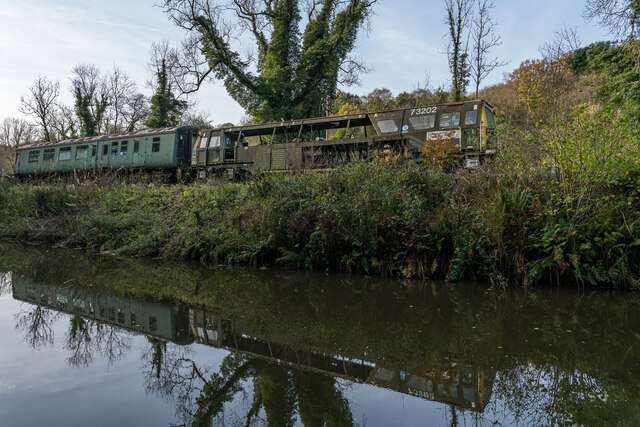
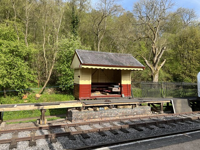
![Consall Station A preserved railway line near Leek in Staffordshire, running from Froghall up the valley to Cheddleton with one intermediate stop at Consall, and (since 2011) on an extension to a former quarry at Cauldon Low, where as of 2012 there is no station. The society has plans to connect to the national network at Stoke-on-Trent.
The lines were originally constructed by the North Staffordshire Railway (the &quot;Knotty&quot;). According to one writer, &quot;the buildings on the Churnet Valley line are of local stone, straightforwardly neo-Tudor, and effective&quot; [Lloyd &amp; Insall, &quot;Railway Station Architecture&quot;, David &amp; Charles 1978, p.17].](https://s0.geograph.org.uk/geophotos/07/66/70/7667004_978b380e.jpg)
Lawn Wood is located at Grid Ref: SJ9948 (Lat: 53.033205, Lng: -2.0054764)
Administrative County: Staffordshire
District: Staffordshire Moorlands
Police Authority: Staffordshire
What 3 Words
///purified.merge.slimmer. Near Cheddleton, Staffordshire
Nearby Locations
Related Wikis

Consall railway station
Consall railway station is a former passenger railway station of the North Staffordshire Railway (NSR) and is now a preserved station on the Churnet Valley...

Consall
Consall is a small village situated in the Staffordshire Moorlands, Staffordshire, England. It is approximately 6 miles south of the market town of Leek...

Kingsley, Staffordshire
Kingsley is a small village in the Staffordshire Moorlands near to Cheadle, and situated on the A52 from Stoke on Trent to Ashbourne. The civil parish...

Above Church
Above Church is a hamlet about 0.6 kilometers (0.4 mi) northwest of Ipstones in the English county of Staffordshire. It is located at grid reference SK016504...

Froghall
Froghall is a village situated approximately ten miles to the east of Stoke-on-Trent and two miles north of Cheadle in Staffordshire, England. Population...

Uttoxeter Canal
The Uttoxeter Canal was a thirteen-mile extension of the Caldon Canal running from Froghall as far as Uttoxeter in Staffordshire, England. It was authorised...

Ipstones
Ipstones is a village and civil parish in the north of the English county of Staffordshire. Ipstones is part of the Staffordshire Moorlands district; within...
Kingsley and Froghall railway station
Kingsley and Froghall is a former railway station of the North Staffordshire Railway (NSR) that is now preserved on the Churnet Valley Railway in Staffordshire...
Nearby Amenities
Located within 500m of 53.033205,-2.0054764Have you been to Lawn Wood?
Leave your review of Lawn Wood below (or comments, questions and feedback).