Eastwoodhouse Plantation

Wood, Forest in Northumberland

England

Eastwoodhouse Plantation

Forester's Cottage
Forester's Cottage Credit: Les Hull

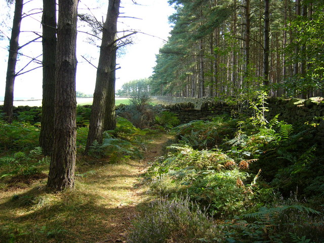
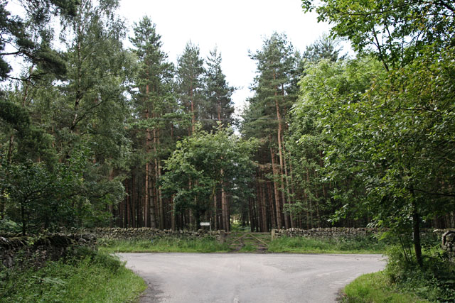
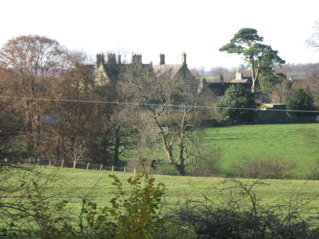
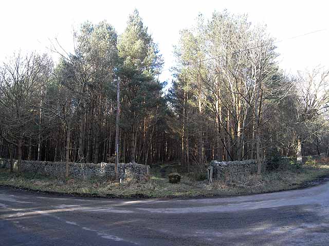
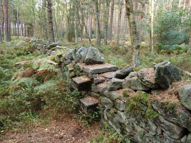
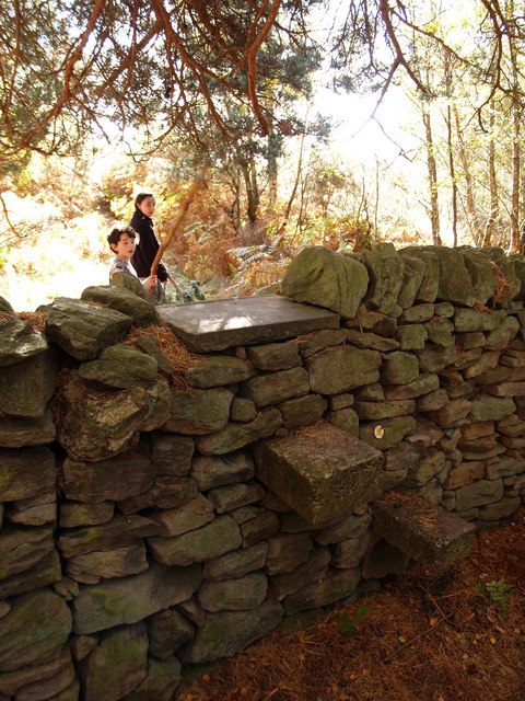
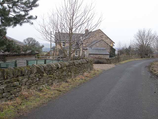
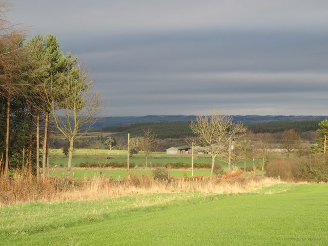
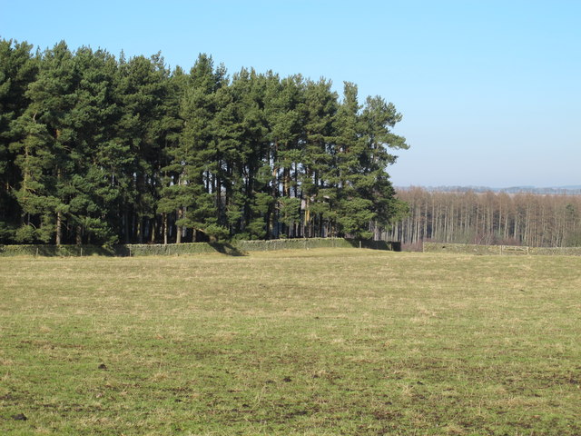
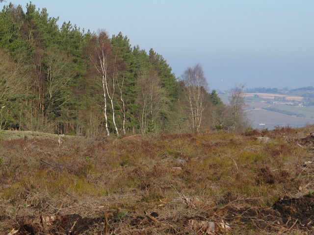
Eastwoodhouse Plantation is a picturesque woodland located in Northumberland, England. Covering a vast area, it is known for its dense and diverse assortment of trees, making it a haven for nature enthusiasts and hikers alike.

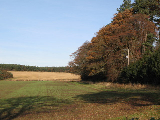
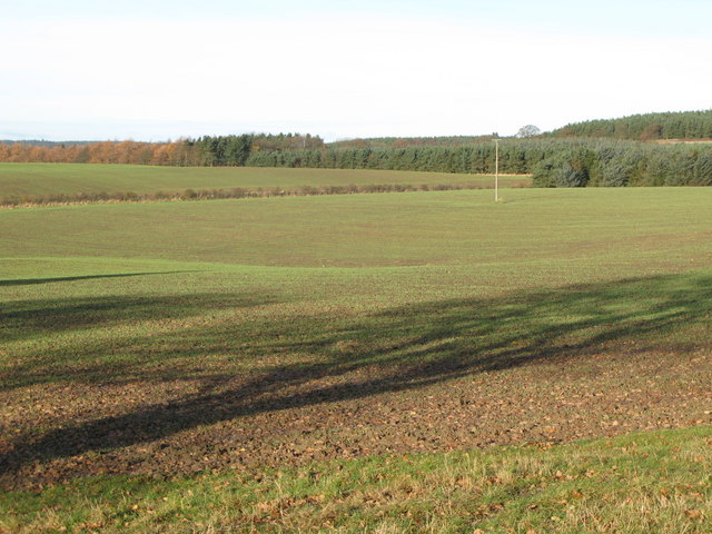
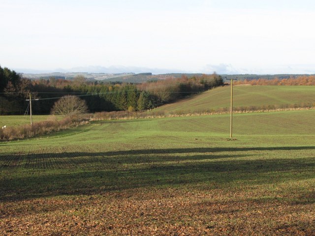
Situated in the heart of the county, the plantation offers a serene escape from the hustle and bustle of urban life. The woodlands are predominantly made up of native species such as oak, beech, and birch, creating a rich tapestry of colors throughout the seasons. The age of the trees varies, with some towering giants dating back centuries, while others are younger, ensuring a varied and interesting landscape.

Aside from its natural beauty, Eastwoodhouse Plantation is home to an array of wildlife. Visitors may spot squirrels, deer, and a variety of bird species, including woodpeckers and owls. The plantation's management actively promotes biodiversity and conservation, ensuring a thriving ecosystem.

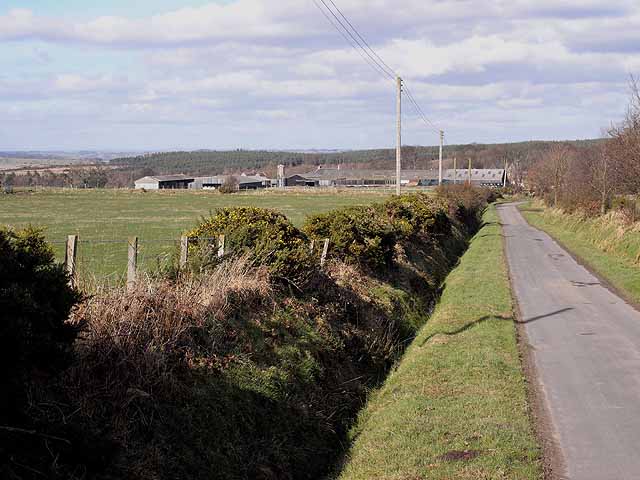
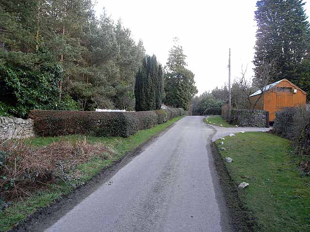
For outdoor enthusiasts, the woodland offers an extensive network of trails and paths, allowing visitors to explore its beauty at their own pace. Whether it's a leisurely stroll or a challenging hike, there are options to suit all fitness levels. Additionally, there are designated picnic spots and rest areas throughout the plantation, providing opportunities to relax and immerse oneself in the tranquil surroundings.

Eastwoodhouse Plantation is open to the public year-round, with no admission fee. It is easily accessible by car, with ample parking available. Whether for a peaceful walk, wildlife spotting, or simply to appreciate the beauty of nature, Eastwoodhouse Plantation is a must-visit destination for anyone seeking solace in Northumberland's woodlands.

If you have any feedback on the listing, please let us know in the comments section below.

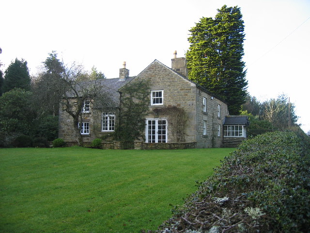
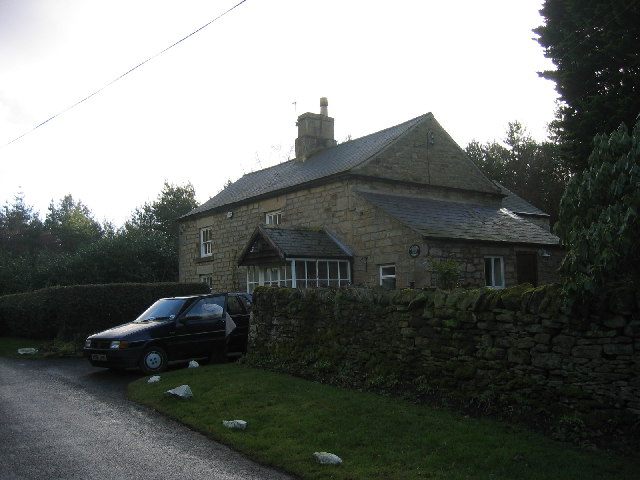
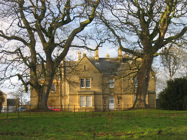
Eastwoodhouse Plantation Images

Images are sourced within 2km of 54.931035/-2.0074443 or Grid Reference NY9959. Thanks to Geograph Open Source API. All images are credited.

Forester's Cottage
Forester's Cottage
Forester's Cottage
Forester's Cottage
Healey Hall The hall was built in 1834 and replaced an earlier building thought to have been a 17th century bastle. An old drawing shows a few details and remains of part of this old house are built into the stable block.
Healey Hall
The hall was built in 1834 and replaced an earlier building thought to have been a 17th century bastle. An old drawing shows a few details and remains of part of this old house are built into the stable block.
Footpath through Robson's Plantation
Burnt House Plantation Junction of minor roads through coniferous plantations near Healey
Burnt House Plantation
Junction of minor roads through coniferous plantations near Healey
Farmland near Healey Photo taken from the track in the northwest corner of <a href="https://www.geograph.org.uk/gridref/NZ0157">NZ0157</a>.
Farmland near Healey
Photo taken from the track in the northwest corner of NZ0157.
Farmland near Healey See <a href="https://www.geograph.org.uk/photo/1094137">NZ0158 : Farmland near Healey</a> for a view slightly to the east. Photo taken from the track in the northwest corner of <a href="https://www.geograph.org.uk/gridref/NZ0157">NZ0157</a>.
Farmland near Healey
See NZ0158 : Farmland near Healey for a view slightly to the east. Photo taken from the track in the northwest corner of NZ0157.
Farmland near Healey (2) See <a href="https://www.geograph.org.uk/photo/1094141">NZ0058 : Farmland near Healey</a> for a view slightly to the east. Photo taken from the track in the northwest corner of <a href="https://www.geograph.org.uk/gridref/NZ0157">NZ0157</a>.
Farmland near Healey (2)
See NZ0058 : Farmland near Healey for a view slightly to the east. Photo taken from the track in the northwest corner of NZ0157.
Healey Hall
Healey Hall
Farm buildings at Healey Hall At the centre of a sizeable estate in Hexhamshire.
Farm buildings at Healey Hall
At the centre of a sizeable estate in Hexhamshire.
Road junction near Burnt House This view is taken from approximately the diametrically opposite direction to <a href="https://www.geograph.org.uk/photo/504171">NZ0058 : Burnt House Plantation</a>.In addition to the three roads, there are two forest tracks come in at this point.
Road junction near Burnt House
This view is taken from approximately the diametrically opposite direction to NZ0058 : Burnt House Plantation.In addition to the three roads, there are two forest tracks come in at this point.
Forester's Cottage garden Curiously, the garden of Forester's Cottage (to the right of the road) has been extended onto the other side of the road and includes a narrow strip on the roadward side of the plantation wall. This strip of garden is just wide enough to accommodate a greenhouse and the washing.
Forester's Cottage garden
Curiously, the garden of Forester's Cottage (to the right of the road) has been extended onto the other side of the road and includes a narrow strip on the roadward side of the plantation wall. This strip of garden is just wide enough to accommodate a greenhouse and the washing.
Stile in Robson's Plantation
Stile between Hemmels Fell and East Woodhouse Fell
Broomley Wood House This modern house has obviously gone up in the world - probably completely rebuilt from the original house on the site which was named "Broomley Pit House".
Broomley Wood House
This modern house has obviously gone up in the world - probably completely rebuilt from the original house on the site which was named "Broomley Pit House".
Farmland south of Healey Hall Photo taken from near <a href="https://www.geograph.org.uk/photo/2501052">NZ0057 : Lane Head</a> photographed by Peter McDermott.
Farmland south of Healey Hall
Photo taken from near NZ0057 : Lane Head photographed by Peter McDermott.
Pastures and woodland south of High Plains
Broomleyfell Plantation (felled) and Robson's Plantation
Show me another place!

Eastwoodhouse Plantation is located at Grid Ref: NY9959 (Lat: 54.931035, Lng: -2.0074443)

Unitary Authority: Northumberland

Police Authority: Northumbria

What 3 Words

///push.hampers.hammocks. Near Slaley, Northumberland

Related Wikis

Beauclerc

Beauclerc is a small village in Northumberland, England. It is situated to the west of Riding Mill, between Hexham and Newcastle upon Tyne. == Governance... ==

Healey, Northumberland

Healey is a rural estate and civil parish in Northumberland, England, situated between Riding Mill to the north and Slaley to the south. The neo-Norman...

Riding Mill

Riding Mill is a village near Hexham in Northumberland, England. It is part of the civil parish of Broomhaugh and Riding. It is served by Riding Mill railway...

Broomhaugh and Riding

Broomhaugh and Riding is a civil parish in Northumberland, England. It includes the villages of Broomhaugh and Riding Mill. According to the 2001 census...

Slaley, Northumberland

Slaley is a village in Northumberland, England. It is situated to the southeast of Hexham. It is surrounded by the following villages: Ruffside, Whitley...

Broomhaugh

Broomhaugh is a village and former civil parish, now in the parish of Broomhaugh and Riding, in Northumberland, in England. It is situated between Hexham...

Riding Mill railway station

Riding Mill is a railway station on the Tyne Valley Line, which runs between Newcastle and Carlisle via Hexham. The station, situated 16 miles 71 chains...

Slaley Hall

Slaley Hall is a country house golf resort in Northumberland in North East England, built by local developers Seamus O'Carroll and John Rourke which hosted...

Have you been to Eastwoodhouse Plantation?

Leave your review of Eastwoodhouse Plantation below (or comments, questions and feedback).