Hardy Wood
Wood, Forest in Staffordshire Staffordshire Moorlands
England
Hardy Wood
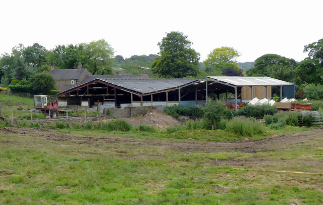
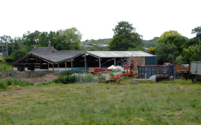
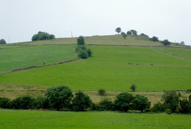
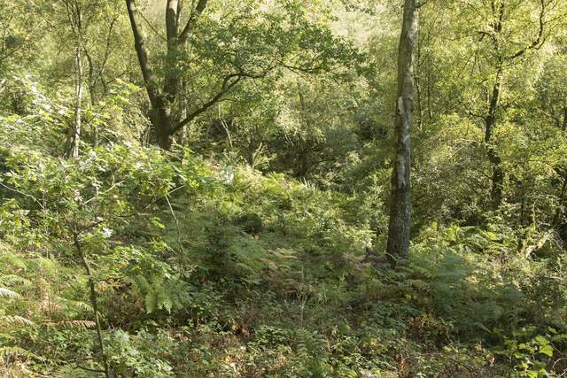
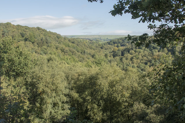
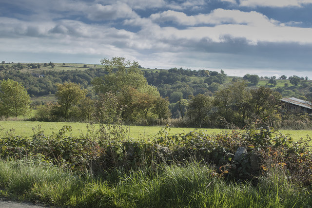
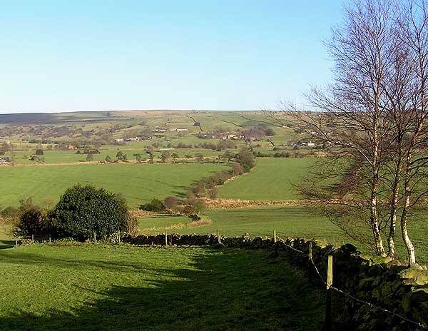
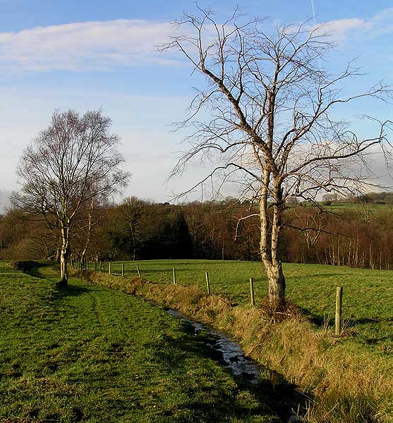
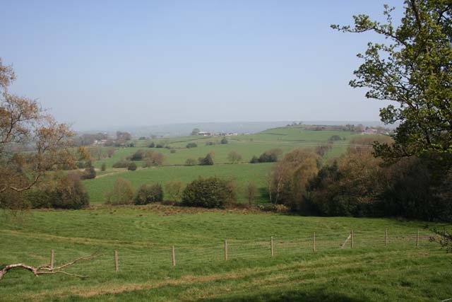
Hardy Wood is a picturesque woodland area located in Staffordshire, England. Covering an area of approximately 100 acres, it is renowned for its natural beauty and tranquil atmosphere. The wood is predominantly composed of broadleaf trees, including oak, beech, and ash, which create a dense canopy that provides shade and shelter for a variety of flora and fauna.
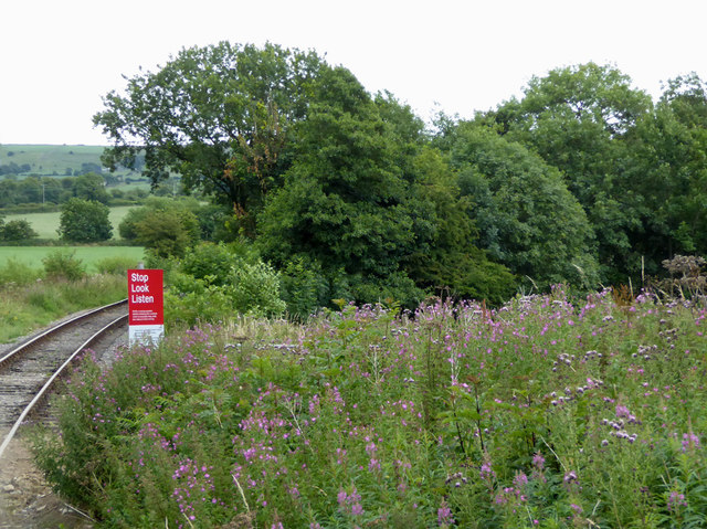
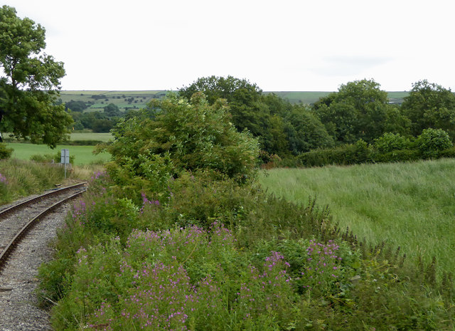
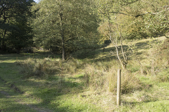
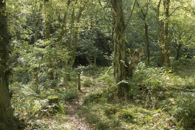
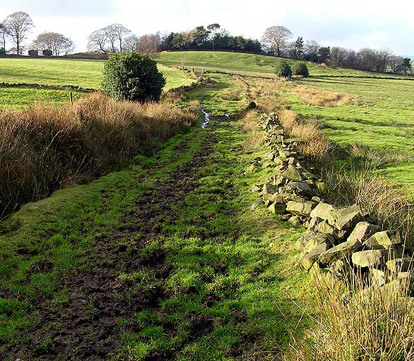
The woodland is crisscrossed with a network of well-maintained footpaths, making it a popular destination for walkers, hikers, and nature enthusiasts. These paths allow visitors to explore the diverse ecosystem of the wood, which is home to a wide range of plant and animal species. From bluebells and wild garlic in the spring to mushrooms and ferns in the autumn, there is always something to discover throughout the seasons.
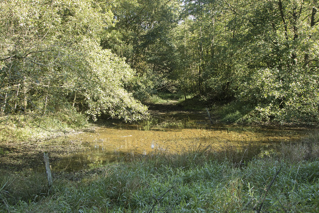
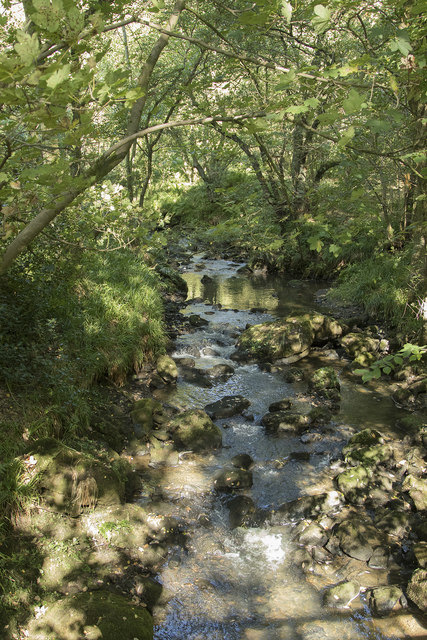
Hardy Wood also boasts a small stream that meanders through its heart, adding to its charm and providing a habitat for aquatic life. The babbling sound of the water adds to the peaceful ambiance of the wood, making it an ideal spot for relaxation and contemplation.
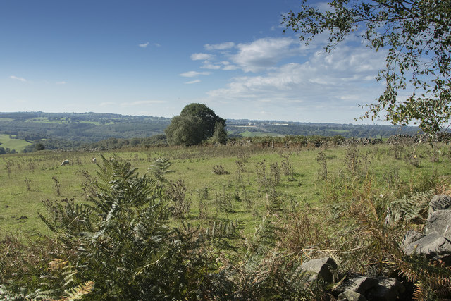
In addition to its natural beauty, Hardy Wood has historical significance as well. It is believed to have been a part of the ancient Staffordshire Forest, which covered a vast area during medieval times. Today, remnants of this historical forest can still be seen, with some trees estimated to be centuries old.
Overall, Hardy Wood offers a serene escape from the hustle and bustle of everyday life, providing visitors with an opportunity to connect with nature and immerse themselves in the tranquility of this charming woodland area.
If you have any feedback on the listing, please let us know in the comments section below.
Hardy Wood Images
Images are sourced within 2km of 53.076029/-2.0070942 or Grid Reference SJ9953. Thanks to Geograph Open Source API. All images are credited.
Hardy Wood is located at Grid Ref: SJ9953 (Lat: 53.076029, Lng: -2.0070942)
Administrative County: Staffordshire
District: Staffordshire Moorlands
Police Authority: Staffordshire
What 3 Words
///attending.cracker.eased. Near Cheddleton, Staffordshire
Nearby Locations
Related Wikis

Coombes Valley RSPB reserve
Coombes Valley RSPB reserve (grid reference SK005525) is a nature reserve, run by the RSPB, near the town of Leek in Staffordshire, England. It is best...

Leek Brook railway station
Leek Brook railway station is a passenger station in Staffordshire, Great Britain. == History == Leek Brook railway station was opened by the North Staffordshire...
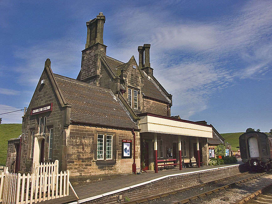
Cheddleton railway station
Cheddleton railway station is a former passenger railway station of the North Staffordshire Railway (NSR) and is now a preserved station on the Churnet...

Churnet Valley Railway
The Churnet Valley Railway is a preserved standard gauge heritage railway in the Staffordshire Moorlands of Staffordshire, England. It operates on part...

Staffordshire Moorlands (UK Parliament constituency)
Staffordshire Moorlands is a constituency represented in the House of Commons of the UK Parliament since 2010 by Karen Bradley, a Conservative who served...

Bradnop railway station
Bradnop railway station was a railway station that served the village of Bradnop, Staffordshire. It was opened by the North Staffordshire Railway (NSR...

St Edwards Hospital tramway
The St Edward's Hospital tramway was a tramway built for Staffordshire County Council for the construction of the St Edward's County Mental Asylum at Cheddleton...

St Edward's Hospital
St Edward's Hospital was a mental health facility at Cheddleton in Staffordshire, England. The hospital closed in 2002 and was converted into apartments...
Nearby Amenities
Located within 500m of 53.076029,-2.0070942Have you been to Hardy Wood?
Leave your review of Hardy Wood below (or comments, questions and feedback).