Marchburn Wood
Wood, Forest in Northumberland
England
Marchburn Wood
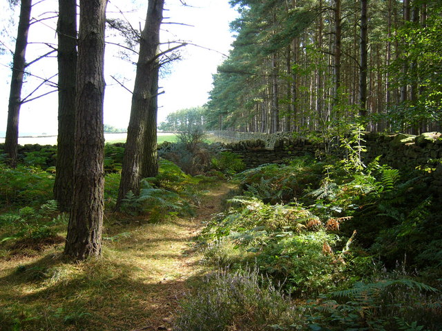
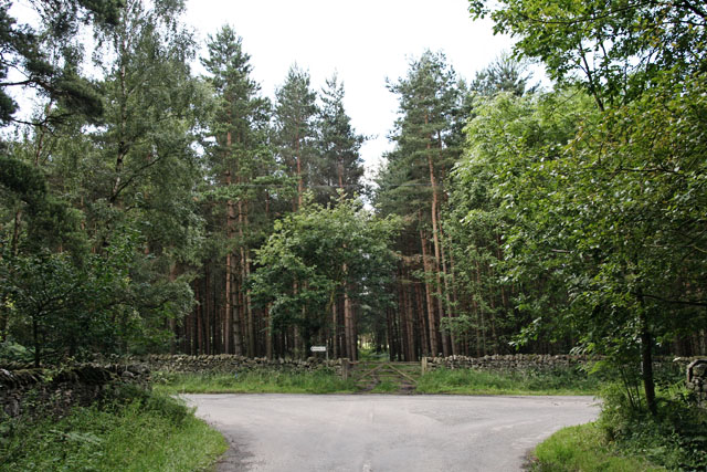
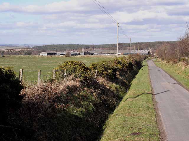
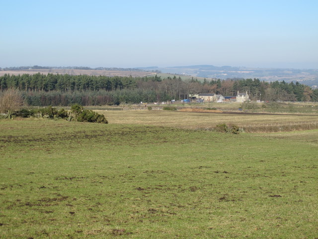
Marchburn Wood is a picturesque woodland located in the heart of Northumberland, England. Covering an area of approximately 100 acres, this enchanting forest is known for its diverse range of flora and fauna, making it a popular destination for nature lovers and outdoor enthusiasts.
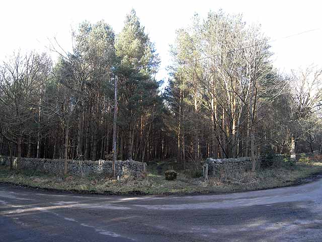
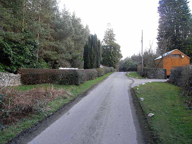
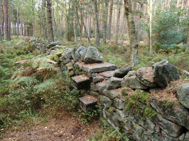
The wood is characterized by its dense canopy of towering trees, predominantly consisting of native species such as oak, birch, and beech. The lush undergrowth is a vibrant tapestry of ferns, bluebells, and wildflowers, adding to its natural beauty. The forest floor is carpeted with a rich layer of moss and fallen leaves, providing a serene and tranquil atmosphere.
Marchburn Wood is home to a plethora of wildlife, including a variety of bird species, such as woodpeckers, owls, and songbirds. Visitors may also spot mammals like red squirrels, foxes, and deer amidst the secluded pathways. The wood is a haven for birdwatching and wildlife photography enthusiasts, offering ample opportunities to capture stunning images of the local wildlife in their natural habitat.
The woodland boasts a network of well-maintained walking trails, allowing visitors to explore its scenic beauty at their own pace. These paths wind through the forest, providing panoramic views of the surrounding countryside. Marchburn Wood also offers picnic areas and benches, making it an ideal spot for a leisurely family outing or a peaceful escape from the hustle and bustle of daily life.
In summary, Marchburn Wood is a captivating woodland in Northumberland, offering a sanctuary for nature enthusiasts and a haven for a wide variety of flora and fauna. Its natural beauty, diverse wildlife, and tranquil ambiance make it a must-visit destination for those seeking solace in the heart of nature.
If you have any feedback on the listing, please let us know in the comments section below.
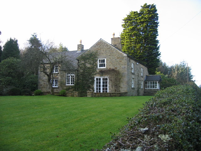
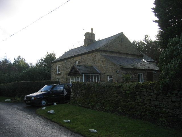
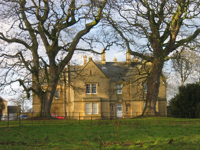
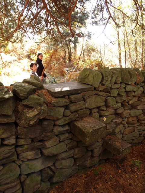
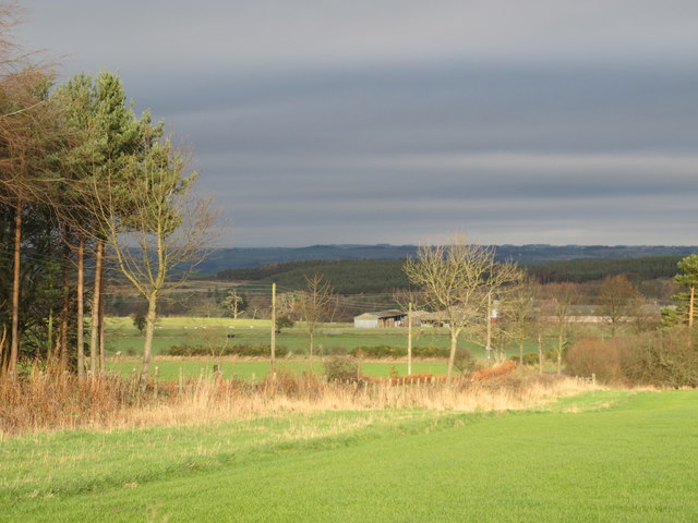
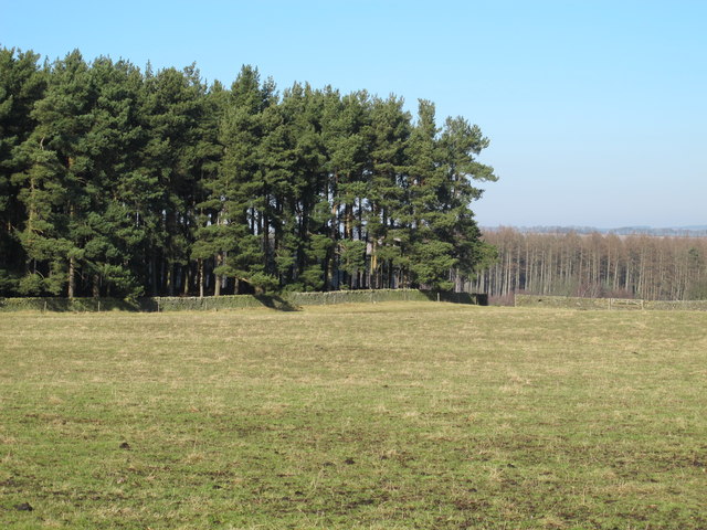
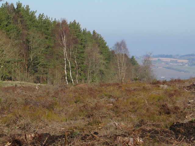
Marchburn Wood Images
Images are sourced within 2km of 54.930091/-2.0094884 or Grid Reference NY9959. Thanks to Geograph Open Source API. All images are credited.

Marchburn Wood is located at Grid Ref: NY9959 (Lat: 54.930091, Lng: -2.0094884)
Unitary Authority: Northumberland
Police Authority: Northumbria
What 3 Words
///breath.correctly.amounting. Near Slaley, Northumberland
Related Wikis

Beauclerc
Beauclerc is a small village in Northumberland, England. It is situated to the west of Riding Mill, between Hexham and Newcastle upon Tyne. == Governance... ==

Healey, Northumberland
Healey is a rural estate and civil parish in Northumberland, England, situated between Riding Mill to the north and Slaley to the south. The neo-Norman...

Slaley, Northumberland
Slaley is a village in Northumberland, England. It is situated to the southeast of Hexham. It is surrounded by the following villages: Ruffside, Whitley...

Riding Mill
Riding Mill is a village near Hexham in Northumberland, England. It is part of the civil parish of Broomhaugh and Riding. It is served by Riding Mill railway...
Broomhaugh and Riding
Broomhaugh and Riding is a civil parish in Northumberland, England. It includes the villages of Broomhaugh and Riding Mill. According to the 2001 census...
Broomhaugh
Broomhaugh is a village and former civil parish, now in the parish of Broomhaugh and Riding, in Northumberland, in England. It is situated between Hexham...

Riding Mill railway station
Riding Mill is a railway station on the Tyne Valley Line, which runs between Newcastle and Carlisle via Hexham. The station, situated 16 miles 71 chains...

Slaley Hall
Slaley Hall is a country house golf resort in Northumberland in North East England, built by local developers Seamus O'Carroll and John Rourke which hosted...
Have you been to Marchburn Wood?
Leave your review of Marchburn Wood below (or comments, questions and feedback).