Todburn Wood
Wood, Forest in Northumberland
England
Todburn Wood
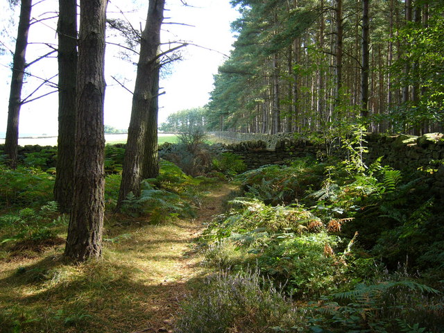
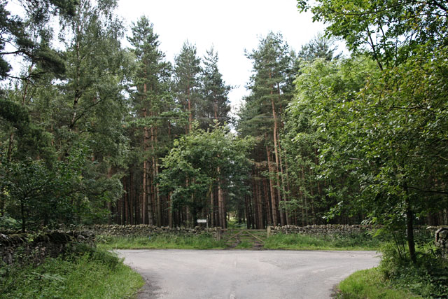
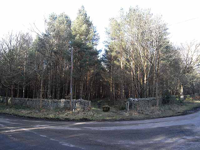
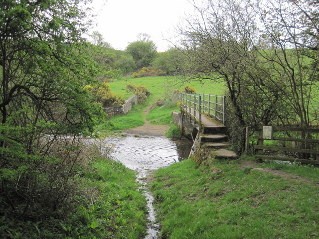
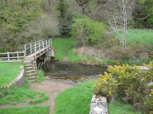
Todburn Wood is a picturesque woodland nestled in the Northumberland region of England. Covering an area of approximately 100 acres, it is located near the small village of Todburn, offering a tranquil and serene setting for nature enthusiasts and outdoor lovers.
The woodland is predominantly composed of native deciduous trees such as oak, birch, and ash, creating a diverse and vibrant ecosystem. The dense canopy of foliage provides ample shade, making it an ideal habitat for a variety of wildlife species, including birds, mammals, and insects.
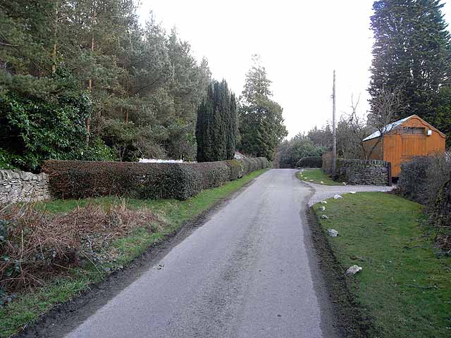
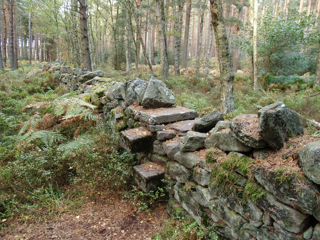
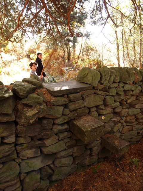
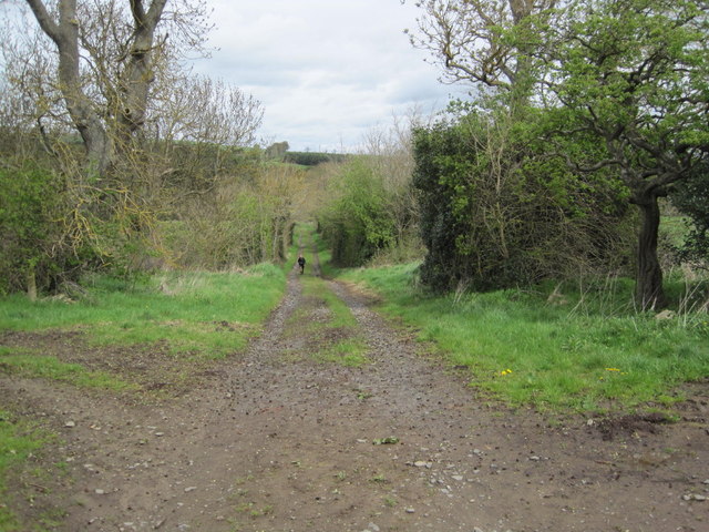
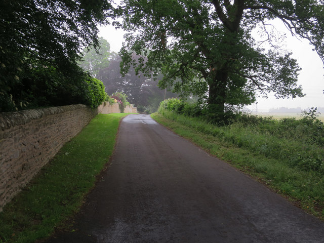
Todburn Wood is renowned for its scenic beauty, with winding pathways meandering through the trees, inviting visitors to explore and immerse themselves in the natural splendor. The forest floor is carpeted with an array of wildflowers and ferns, enhancing the charm and enchantment of the woodland.
For those interested in birdwatching, Todburn Wood offers a rich avian population. Species such as woodpeckers, owls, and warblers can often be sighted and heard amongst the treetops. Additionally, the wood provides an excellent habitat for small mammals like squirrels and hedgehogs, adding to the diversity of wildlife.
The woodland is a popular destination for hikers, nature photographers, and families seeking a peaceful retreat. Its well-maintained trails and picnic areas make it an accessible and enjoyable location for outdoor activities. Todburn Wood truly embodies the beauty and tranquility of the Northumberland countryside, inviting visitors to connect with nature and experience its wonders firsthand.
If you have any feedback on the listing, please let us know in the comments section below.
Todburn Wood Images
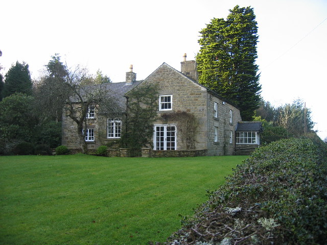
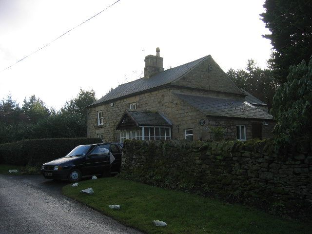
Images are sourced within 2km of 54.930711/-2.011767 or Grid Reference NY9959. Thanks to Geograph Open Source API. All images are credited.


Todburn Wood is located at Grid Ref: NY9959 (Lat: 54.930711, Lng: -2.011767)
Unitary Authority: Northumberland
Police Authority: Northumbria
What 3 Words
///expansion.roosters.filed. Near Slaley, Northumberland
Related Wikis

Beauclerc
Beauclerc is a small village in Northumberland, England. It is situated to the west of Riding Mill, between Hexham and Newcastle upon Tyne. == Governance... ==

Healey, Northumberland
Healey is a rural estate and civil parish in Northumberland, England, situated between Riding Mill to the north and Slaley to the south. The neo-Norman...

Slaley, Northumberland
Slaley is a village in Northumberland, England. It is situated to the southeast of Hexham. It is surrounded by the following villages: Ruffside, Whitley...

Riding Mill
Riding Mill is a village near Hexham in Northumberland, England. It is part of the civil parish of Broomhaugh and Riding. It is served by Riding Mill railway...
Have you been to Todburn Wood?
Leave your review of Todburn Wood below (or comments, questions and feedback).