Fairnley Plantation
Wood, Forest in Northumberland
England
Fairnley Plantation
The requested URL returned error: 429 Too Many Requests
If you have any feedback on the listing, please let us know in the comments section below.
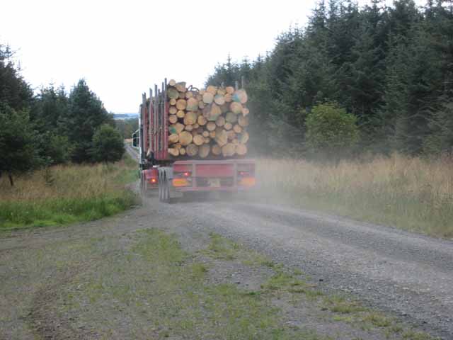
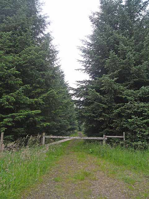
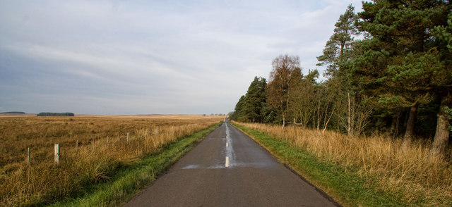
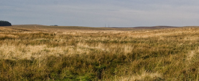
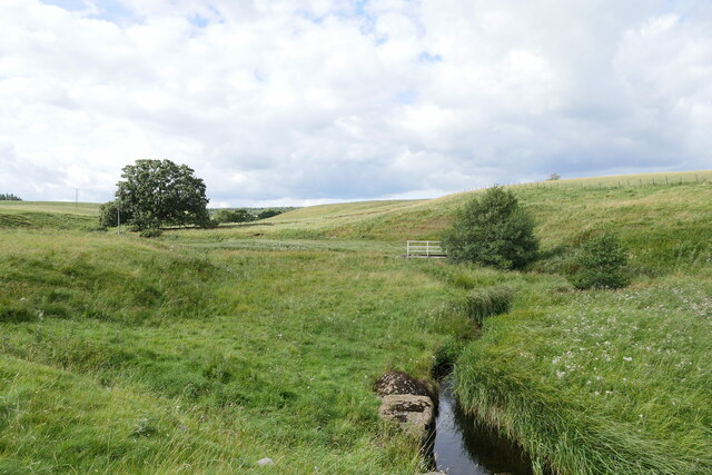
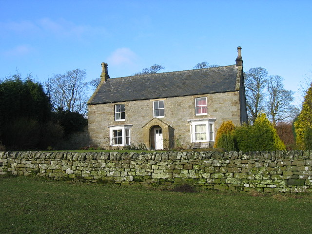
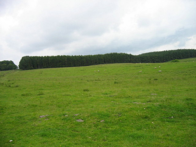
Fairnley Plantation Images
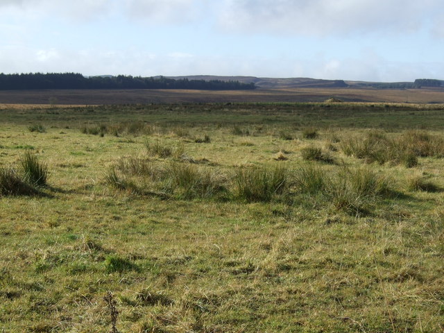
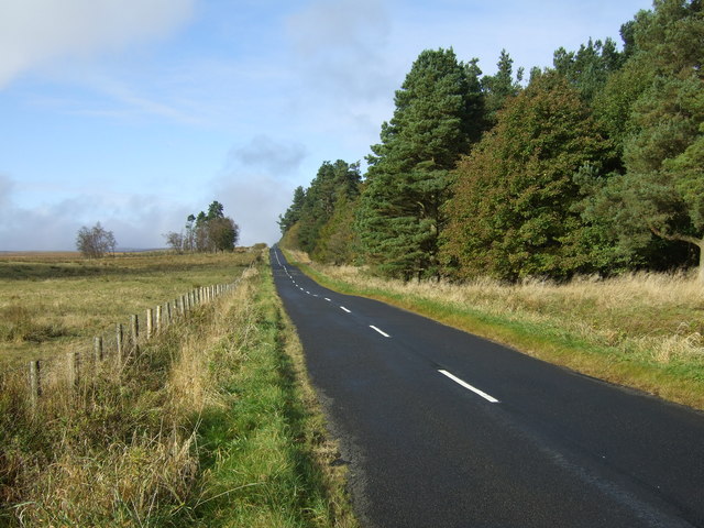
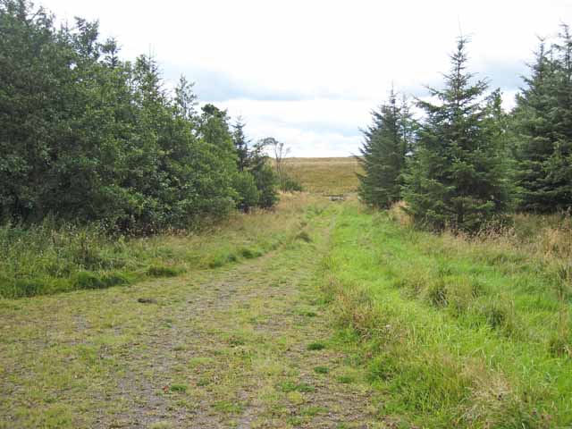
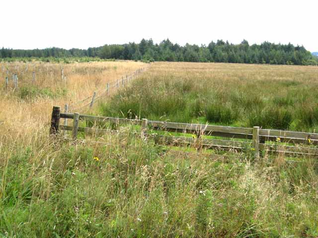
Images are sourced within 2km of 55.199421/-2.0075118 or Grid Reference NY9989. Thanks to Geograph Open Source API. All images are credited.


Fairnley Plantation is located at Grid Ref: NY9989 (Lat: 55.199421, Lng: -2.0075118)
Unitary Authority: Northumberland
Police Authority: Northumbria
What 3 Words
///manifests.awkward.yard. Near Rothley, Northumberland
Nearby Locations
Related Wikis

Knowesgate railway station
Knowesgate was a stone-built railway station with goods sidings in Northumberland, England on the Wansbeck Railway between Morpeth and Reedsmouth, which...

Northumberland
Northumberland ( nor-THUM-bər-lənd) is a ceremonial county in North East England, bordering Scotland. It is bordered by the Scottish Borders to the north...

Harwood Forest
Harwood Forest is a 3,527 hectares (8,720 acres) conifer plantation located to the south of Rothbury in North Northumberland, England, and managed by Forestry...

Rothley Castle
Rothley Castle is an 18th-century gothic folly built to resemble a medieval castle, situated at Rothley, Northumberland. It is a Grade II* listed building...
Have you been to Fairnley Plantation?
Leave your review of Fairnley Plantation below (or comments, questions and feedback).