Haregate Wood

Wood, Forest in Staffordshire Staffordshire Moorlands

England

Haregate Wood

Thorncliffe, shepherding A herd of sheep being driven by shepherds on quad bikes, probably from Lower Farm.
Thorncliffe, shepherding Credit: Mike Faherty

Haregate Wood is a scenic woodland located in Staffordshire, England. Covering an area of approximately 50 acres, it is nestled within the picturesque Staffordshire Moorlands district. The wood is situated on the northern outskirts of the market town of Leek, providing a tranquil escape from the hustle and bustle of urban life.

Primarily consisting of mature native trees, such as oak, birch, and beech, Haregate Wood boasts a rich and diverse ecosystem. The dense canopy created by these trees provides a haven for various bird species, including woodpeckers and owls, making it a popular spot for birdwatchers. Additionally, the woodland floor is adorned with a plethora of wildflowers and ferns, adding to its natural beauty.

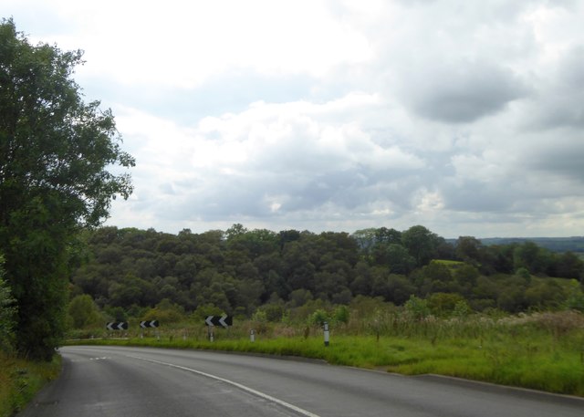
The wood is crisscrossed with a network of well-maintained footpaths, allowing visitors to explore its enchanting surroundings. These paths wind through the trees, providing ample opportunities for leisurely strolls or invigorating hikes. As visitors wander through the wood, they may encounter several wooden sculptures, showcasing the area's artistic flair and connection to nature.

Haregate Wood also holds historical significance, as remnants of old quarrying activities can still be found within its boundaries. These remnants serve as a reminder of the area's industrial past and contribute to the wood's unique character.

With its stunning natural scenery and peaceful ambiance, Haregate Wood is a beloved destination for locals and tourists alike. Whether it is to enjoy a picnic, go for a jog, or simply immerse oneself in nature, this woodland offers an idyllic retreat for all nature enthusiasts.

If you have any feedback on the listing, please let us know in the comments section below.

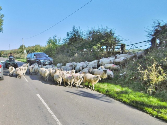
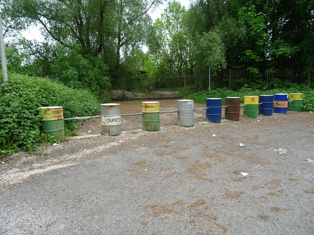
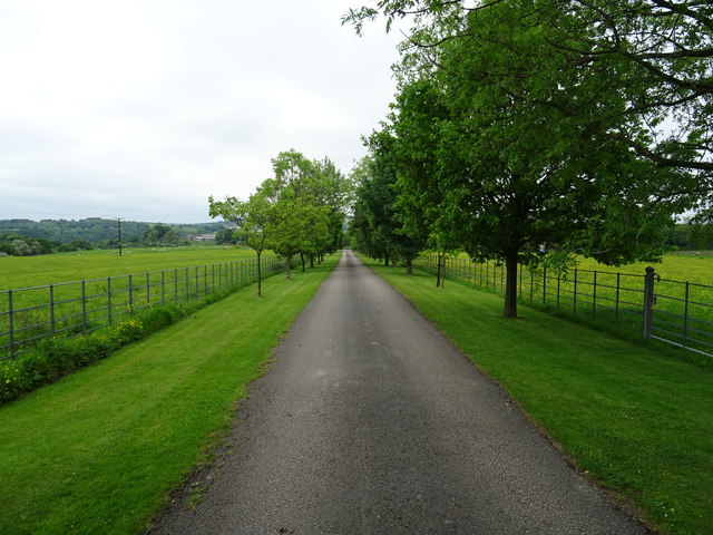
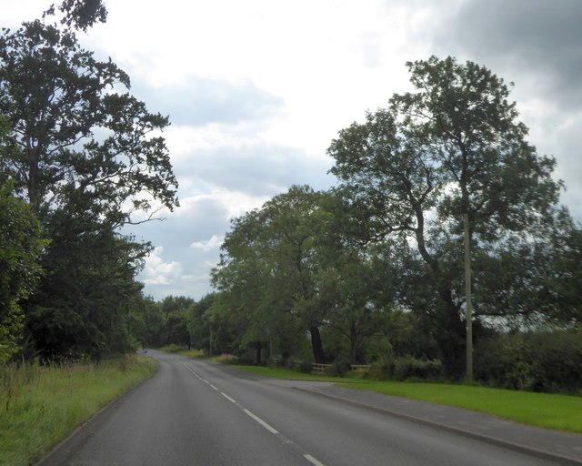
Haregate Wood Images

Images are sourced within 2km of 53.118547/-2.0071911 or Grid Reference SJ9957. Thanks to Geograph Open Source API. All images are credited.

Thorncliffe, shepherding A herd of sheep being driven by shepherds on quad bikes, probably from Lower Farm.
Thorncliffe, shepherding
A herd of sheep being driven by shepherds on quad bikes, probably from Lower Farm.
Pumping station
Pumping station
Red Lion Inn, Thorncliffe
Thorncliffe Grange, Thorncliffe
Red Lion Inn, Thorncliffe
In memory of Gordon Corbishley A stone bench in Thorncliffe.  <a title="https://www.geograph.org.uk/photo/4891512" href="https://www.geograph.org.uk/photo/4891512">Link</a>
In memory of Gordon Corbishley
A stone bench in Thorncliffe. Link
In memory of Gordon Corbishley A stone bench in Thorncliffe.  <a title="https://www.geograph.org.uk/photo/4891509" href="https://www.geograph.org.uk/photo/4891509">Link</a>
In memory of Gordon Corbishley
A stone bench in Thorncliffe. Link
Ankors Lane, Thorncliffe
Methodist Chapel On Ankors Lane, Throncliffe.
Methodist Chapel
On Ankors Lane, Throncliffe.
White Gables Old military camp near White Gables.
White Gables
Old military camp near White Gables.
Entrance to Anzio Camp Opened in 1943 as a transit camp for US anti-aircraft units then Polish troops and families from 1946-64. Later used as a training area until 2005. Plans for a retirement village appear to have been shelved.
Entrance to Anzio Camp
Opened in 1943 as a transit camp for US anti-aircraft units then Polish troops and families from 1946-64. Later used as a training area until 2005. Plans for a retirement village appear to have been shelved.
Track to Troutsdale Farm
Old military buildings above Anzio Camp Opened in 1943 as a transit camp for US Army anti-aircraft units.
Old military buildings above Anzio Camp
Opened in 1943 as a transit camp for US Army anti-aircraft units.
A53 south of Blackshaw Grange A straight road (Roman alignment) looking towards a slight bend where the road crosses a small river
A53 south of Blackshaw Grange
A straight road (Roman alignment) looking towards a slight bend where the road crosses a small river
A53 approaching the valley of Solomon's Hollow
Old Milepost by the A53, Blackshaw Moor, Tittesworth Parish The milestone is located by the Anzio Camp, on the verge, on the south east side of the road. Parish of Tittesworth (Staffordshire Moorlands District). Cast iron post, Green iron bobbin design, erected by the Leek & Hassop, Middlehills & Buxton turnpike trust in the 19th century. 

Inscription reads:-
: LEEK / 2 / MILES : : BUXTON / 10 / MILES :
Maker:-
: WM GREEN. MACCLESFIELD :

Grade II listed. List Entry Number: 1038190
<span class="nowrap"><a title="https://historicengland.org.uk/listing/the-list/list-entry/1038190" rel="nofollow ugc noopener" href="https://historicengland.org.uk/listing/the-list/list-entry/1038190">Link</a><img style="margin-left:2px;" alt="External link" title="External link - shift click to open in new window" src="https://s1.geograph.org.uk/img/external.png" width="10" height="10"/></span>

Milestone Society National ID: ST_LKBX02
Old Milepost by the A53, Blackshaw Moor, Tittesworth Parish
The milestone is located by the Anzio Camp, on the verge, on the south east side of the road. Parish of Tittesworth (Staffordshire Moorlands District). Cast iron post, Green iron bobbin design, erected by the Leek & Hassop, Middlehills & Buxton turnpike trust in the 19th century. Inscription reads:- : LEEK / 2 / MILES : : BUXTON / 10 / MILES : Maker:- : WM GREEN. MACCLESFIELD : Grade II listed. List Entry Number: 1038190 LinkExternal link Milestone Society National ID: ST_LKBX02
Old Milepost by the A53, Buxton Road, Leek Parish The milestone is located north west of Haregate, on the verge in front of drystone wall and hedge, on the south east side of road. Parish of Leek (Staffordshire Moorlands District). Cast iron post, green iron bobbin design, erected by the Leek & Hassop, Middlehills & Buxton turnpike trust in the 19th century. The milestone appears to have been relocated from the farm junction further North.

Inscription reads:- : LEEK / 1 / MILE : : BUXTON / 11 / MILES : : WM GREEN. MACCLESFIELD :

Grade II Listed. List Entry Number: 1268634
<span class="nowrap"><a title="https://historicengland.org.uk/listing/the-list/list-entry/1268634" rel="nofollow ugc noopener" href="https://historicengland.org.uk/listing/the-list/list-entry/1268634">Link</a><img style="margin-left:2px;" alt="External link" title="External link - shift click to open in new window" src="https://s1.geograph.org.uk/img/external.png" width="10" height="10"/></span>

Milestone Society National ID: ST_LKBX01
Old Milepost by the A53, Buxton Road, Leek Parish
The milestone is located north west of Haregate, on the verge in front of drystone wall and hedge, on the south east side of road. Parish of Leek (Staffordshire Moorlands District). Cast iron post, green iron bobbin design, erected by the Leek & Hassop, Middlehills & Buxton turnpike trust in the 19th century. The milestone appears to have been relocated from the farm junction further North. Inscription reads:- : LEEK / 1 / MILE : : BUXTON / 11 / MILES : : WM GREEN. MACCLESFIELD : Grade II Listed. List Entry Number: 1268634 LinkExternal link Milestone Society National ID: ST_LKBX01
Show me another place!

Haregate Wood is located at Grid Ref: SJ9957 (Lat: 53.118547, Lng: -2.0071911)

Administrative County: Staffordshire

District: Staffordshire Moorlands

Police Authority: Staffordshire

What 3 Words

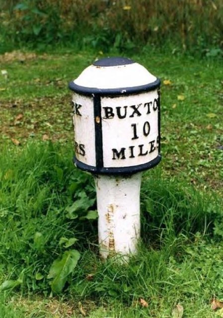
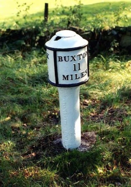
///worksheet.tidal.recover. Near Leek, Staffordshire

Related Wikis

Ball Haye Green

Ball Haye Green is an area of Leek in Staffordshire, England. The area was historically an estate in the township of Tittesworth. It was developed as...

Tittesworth

Tittesworth is a civil parish in the Staffordshire Moorlands, in Staffordshire, England. It extends from the edge of the town of Leek in the south-west...

Leek High School

Leek High School is a mixed upper school (termed 'high school') located in Leek, Staffordshire, England. As of 2021, the number of students at the school...

The Meadows School, Leek

The Meadows School is a mixed special school co-located with Leek High School in Leek, Staffordshire, England.In 2014 Ofsted said “Students make good...

Dieulacres Abbey

Dieulacres Abbey was a Cistercian monastery established by Ranulf, Earl of Chester at Poulton in Cheshire. It moved to the present site at Abbey Green...

Buxton & Leek College

Buxton & Leek College is a college of Further and Higher Education operating at their campuses and facilities in Buxton, Derbyshire, Leek, Staffordshire...

Leek, Staffordshire

Leek is a market town and civil parish in the county of Staffordshire, England, on the River Churnet. It is situated about 10 miles (16 km) north east...

Abbey Green, Staffordshire Moorlands

Abbey Green is a village near Leek in the English county of Staffordshire. The village is close to the site of Dieulacres Abbey. The abbey was founded...

Nearby Amenities

Located within 500m of 53.118547,-2.0071911
Turning Circle
Lat/Long: 53.1154481/-2.0094184
Post Box
Post Box Type: pillar
Ref: ST13 756
Lat/Long: 53.1154428/-2.0078835
Booth: K6
Covered: booth
Old Phone: +44 1538 383772
Removed Amenity: telephone
Lat/Long: 53.1153738/-2.0083424
Leek Convenience Store
Brand: Premier
Brand Wikidata: Q7240340
Brand Wikipedia: en:Premier Stores
Operator: Premier
Shop: convenience
Website: https://www.premier-stores.co.uk/our-stores/leek-convenience-store
Lat/Long: 53.1143736/-2.0077105
Scissors
Shop: hairdresser
Lat/Long: 53.1144482/-2.0077035
Fast Food
Haregate Fish Bar
Cuisine: fish_and_chips
Lat/Long: 53.1145467/-2.007683
Bus Stop
Haregate Hall
Bus: yes
Naptan AtcoCode: 3800C809600
Naptan Bearing: E
Naptan CommonName: Haregate Hall
Naptan Indicator: Adj
Naptan Landmark: Haregate Hall
Naptan Street: Haregate Rd
Naptan Verified: no
Public Transport: platform
Source: naptan_import
Lat/Long: 53.1168498/-2.0091739
Bus Stop
Haregate Hall
Bus: yes
Naptan AtcoCode: 3800C809601
Naptan Bearing: SW
Naptan CommonName: Haregate Hall
Naptan Indicator: Opp
Naptan Landmark: Haregate Hall
Naptan Street: Haregate Rd
Naptan Verified: no
Public Transport: platform
Source: naptan_import
Lat/Long: 53.1165531/-2.009891
Bus Stop
Churnet View Middle School
Bus: yes
Naptan AtcoCode: 3800C816000
Naptan Bearing: N
Naptan CommonName: Churnet View Middle School
Naptan Indicator: Adj
Naptan Landmark: Churnet View Middle Sch
Naptan Street: Haregate Rd
Naptan Verified: no
Public Transport: platform
Source: naptan_import
Lat/Long: 53.1160764/-2.0132078
Bus Stop
Horsecroft Crescent
Bus: yes
Naptan AtcoCode: 3800C892901
Naptan Bearing: N
Naptan CommonName: Horsecroft Crescent
Naptan Indicator: Adj
Naptan Landmark: Horsecroft Cres
Naptan Street: Queens Dr
Naptan Verified: no
Public Transport: platform
Source: naptan_import
Lat/Long: 53.1147978/-2.0080889
Bus Stop
Shops
Bus: yes
Naptan AtcoCode: 3800C892902
Naptan Bearing: S
Naptan CommonName: Shops
Naptan Indicator: Adj
Naptan Landmark: Shops
Naptan Street: Queens Dr
Naptan Verified: no
Public Transport: platform
Source: naptan_import
Lat/Long: 53.1144498/-2.0078736
Turning Circle
Lat/Long: 53.1159589/-2.009788
Barrier: stile
Lat/Long: 53.1168615/-2.0034534
Windsor Drive
Power: substation
Ref: 2446
Lat/Long: 53.1166857/-2.0038929
Bench
Lat/Long: 53.1205704/-2.0103856
Bench
Lat/Long: 53.1225751/-2.0073797
Bench
Lat/Long: 53.121648/-2.0087073
Traffic Calming: bump
Lat/Long: 53.1197423/-2.0114396
Traffic Calming: bump
Lat/Long: 53.1175707/-2.0098816
Traffic Calming: bump
Lat/Long: 53.1173399/-2.0067908
Traffic Calming: bump
Lat/Long: 53.1172867/-2.0042318
Tittesworth Sewage Pumping Station Combined Sewer Overflow
Description: Overflow for combined sewer discharges into the River Churnet here during times of heavy load, such as high rainfall.
Man Made: outfall
Operator: Severn Trent
Operator Wikidata: Q503077
Operator Wikipedia: en:Severn Trent
Outlet: screen
Permit Number: TSC4004
Substance: stormwater;sewage
Lat/Long: 53.1199967/-2.0109686
The data included in this document is from www.openstreetmap.org. The data is made available under ODbL.

Have you been to Haregate Wood?

Leave your review of Haregate Wood below (or comments, questions and feedback).