Stones Wood
Wood, Forest in Yorkshire
England
Stones Wood
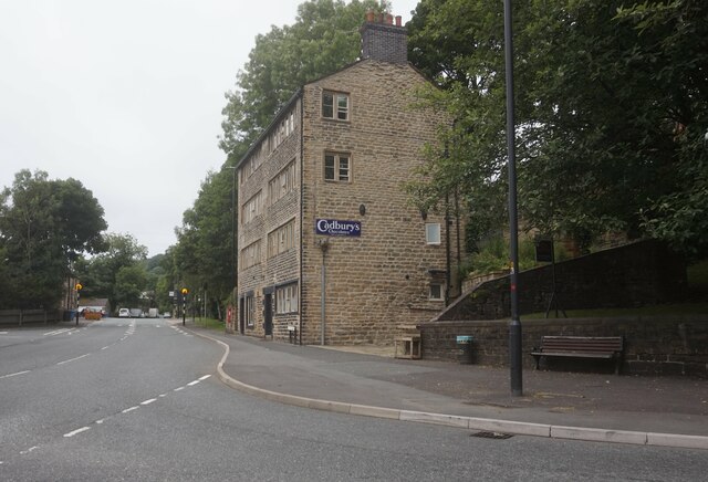
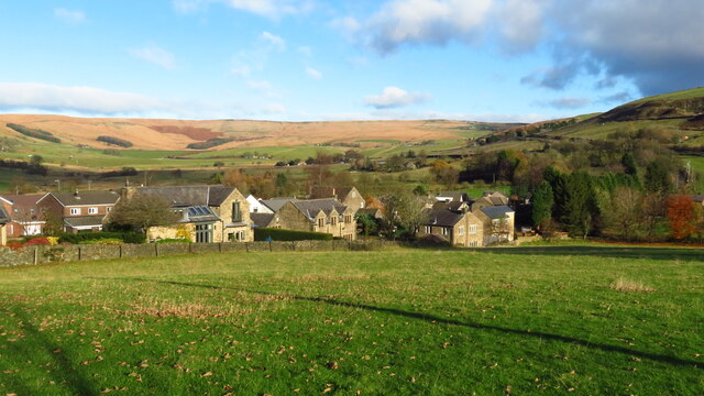
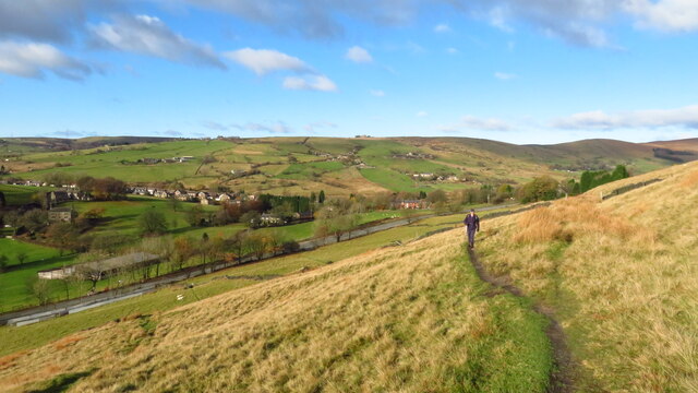
Stones Wood, located in Yorkshire, England, is a picturesque forest that stretches across a vast area of land. It is situated in the southern part of Yorkshire, near the town of Wood. The woodland is characterized by its dense canopy of trees, providing a serene and tranquil atmosphere for visitors.
Covering an expansive area, Stones Wood boasts a diverse range of tree species, including oak, beech, ash, and birch. These trees form a lush and vibrant greenery, offering a natural habitat for various wildlife species. The forest is home to a rich array of flora and fauna, making it an ideal destination for nature enthusiasts and wildlife lovers.
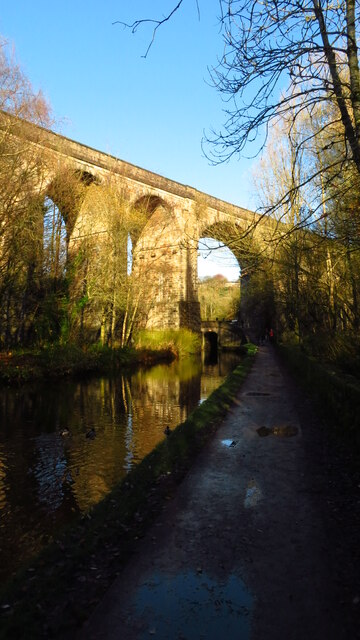
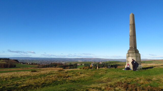
Visitors to Stones Wood can enjoy a multitude of activities, such as hiking and walking along the well-maintained trails that wind through the forest. The trails provide an opportunity to explore the woodland and discover its hidden gems, including ancient ruins and archaeological sites. Moreover, the forest offers a range of picnic areas and designated spots for camping, allowing visitors to immerse themselves in the peaceful surroundings.
Stones Wood also serves as an important conservation area, with dedicated efforts to preserve its natural beauty and protect the wildlife that inhabits it. The forest is managed by local authorities who ensure the sustainable management of the woodland, balancing the needs of visitors with the preservation of the ecosystem.
Overall, Stones Wood in Yorkshire offers a captivating blend of natural beauty, diverse wildlife, and recreational activities, making it a must-visit destination for those seeking a peaceful retreat in the heart of nature.
If you have any feedback on the listing, please let us know in the comments section below.
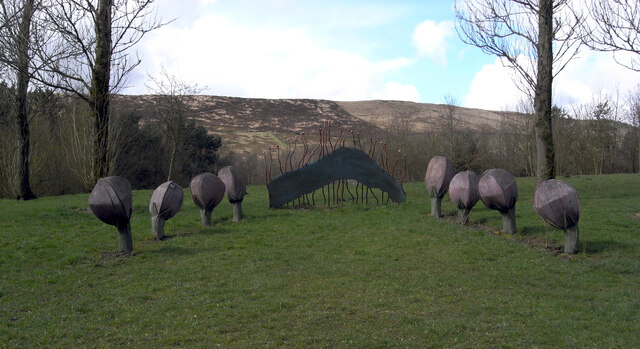
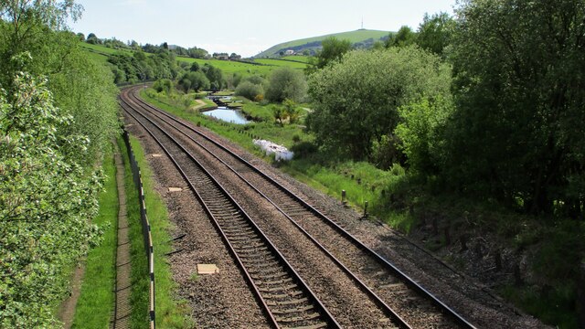
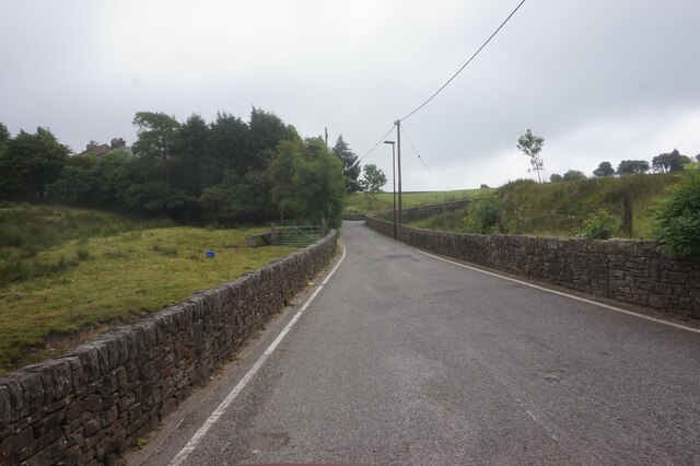
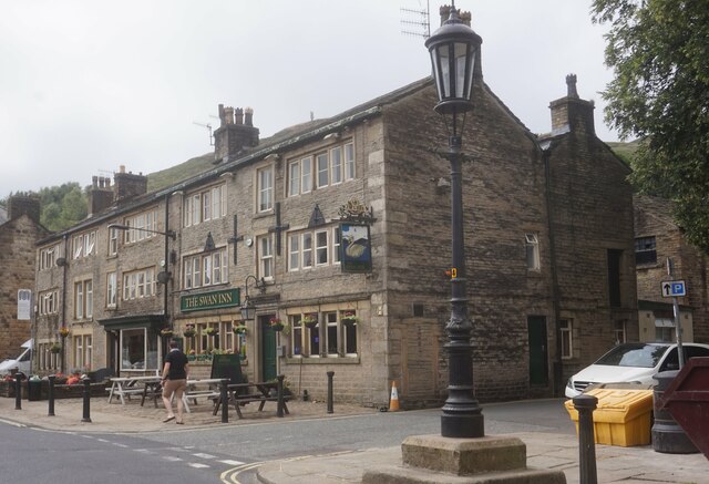
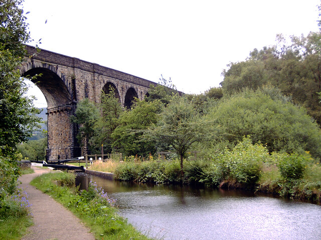
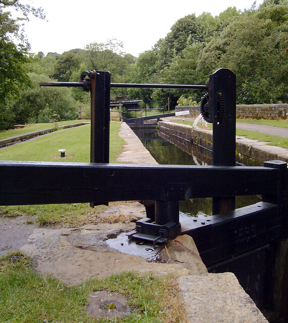
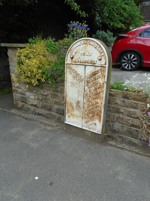
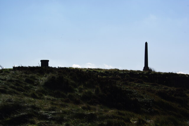
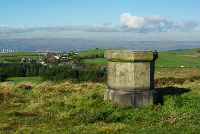
Stones Wood Images
Images are sourced within 2km of 53.563168/-2.0267298 or Grid Reference SD9807. Thanks to Geograph Open Source API. All images are credited.


Stones Wood is located at Grid Ref: SD9807 (Lat: 53.563168, Lng: -2.0267298)
Division: West Riding
Unitary Authority: Oldham
Police Authority: Greater Manchester
What 3 Words
///toolbar.bleaching.typed. Near Delph, Manchester
Nearby Locations
Related Wikis

Delph railway station
Delph railway station served the village of Delph, Oldham, in what is now Greater Manchester, United Kingdom, between 1851 and 1955. == History == The...

Delph
Delph (Old English (ge)delf a quarry) is a village in the civil parish of Saddleworth in the Metropolitan Borough of Oldham, in Greater Manchester, England...

Measurements Halt railway station
Measurements Halt railway station was opened on 18 July 1932 as part of the former London and North Western Railway route from Oldham to Delph. The station...

Dobcross
Dobcross is a village in the civil parish of Saddleworth in the Metropolitan Borough of Oldham in Greater Manchester, England. It is in a valley in the...
Dobcross railway station
Dobcross railway station served the village of Dobcross between 1912 and 1955. == History == The station was opened on 1 January 1912 as part of the London...

Heights, Greater Manchester
Heights is a hamlet in the Saddleworth parish of the Metropolitan Borough of Oldham, in Greater Manchester, England. It is directly north of Delph, and...
Saddleworth railway station
Saddleworth railway station, on the Huddersfield Line in Dobcross to the north of Uppermill, opened in August 1849 and closed to passengers in October...
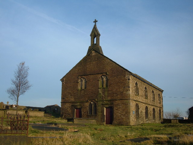
St Thomas' Church, Friarmere
St Thomas' Church, Friarmere, also known as Heights Chapel, is a redundant Anglican church standing on a hillside overlooking the village of Delph, Greater...
Nearby Amenities
Located within 500m of 53.563168,-2.0267298Have you been to Stones Wood?
Leave your review of Stones Wood below (or comments, questions and feedback).