Swan Meadow
Downs, Moorland in Yorkshire
England
Swan Meadow
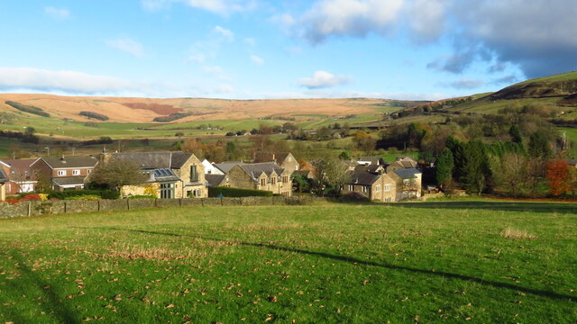
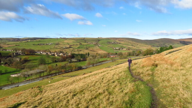
Swan Meadow is a picturesque region located in Yorkshire, England. Situated amidst the stunning landscape of the Yorkshire Downs and Moorland, it offers visitors a unique and idyllic experience.
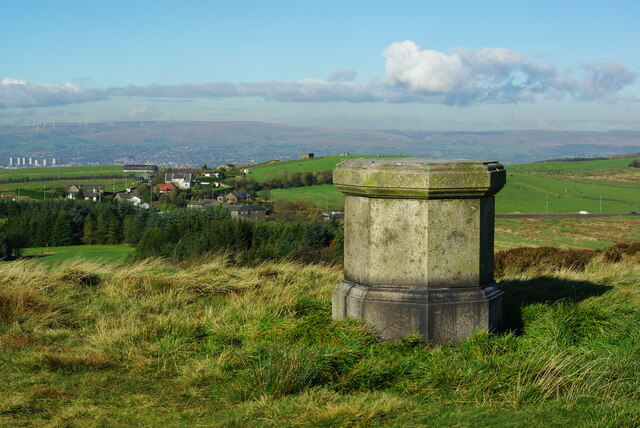
The meadow itself is characterized by its lush greenery, filled with an abundance of vibrant wildflowers during the summer months. It is a haven for various species of birds, including swans, which can often be seen gracefully gliding along the serene meandering river that runs through the heart of Swan Meadow. This river provides a peaceful soundtrack to the area, as it gently flows past the surrounding rolling hills.
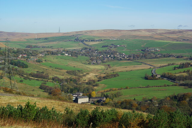
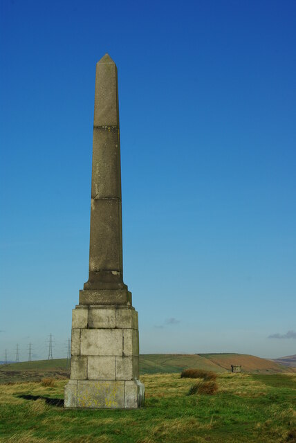
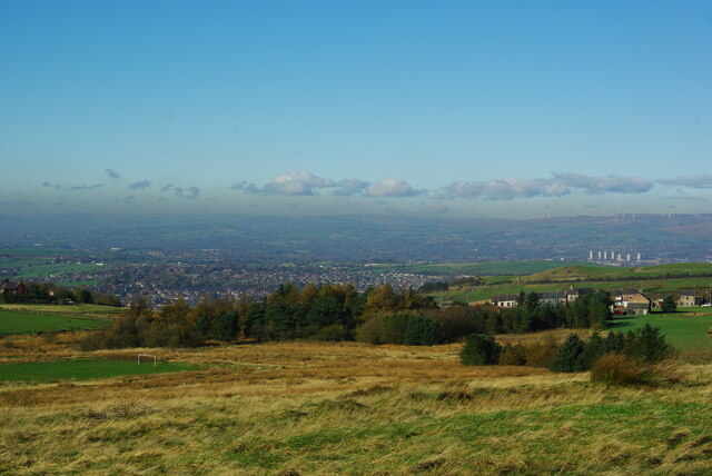
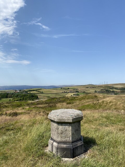
The Yorkshire Downs, which surround Swan Meadow, are a sight to behold. The undulating hills offer breathtaking panoramic views, with their green expanses stretching as far as the eye can see. Hikers and nature enthusiasts can explore the numerous winding trails that crisscross the area, immersing themselves in the natural beauty of the region.
Adjacent to the downs lies the vast Moorland, known for its heather-covered landscapes. The heather blooms into a stunning purple hue during late summer, creating a captivating spectacle that attracts visitors from far and wide. The Moorland is also home to a diverse array of wildlife, including rare bird species and unique plant life.
Swan Meadow, Yorkshire, truly offers a tranquil escape from the hustle and bustle of everyday life. Its combination of unspoiled meadows, rolling hills, and moorland make it a must-visit destination for nature lovers seeking solace in the beauty of the English countryside.
If you have any feedback on the listing, please let us know in the comments section below.
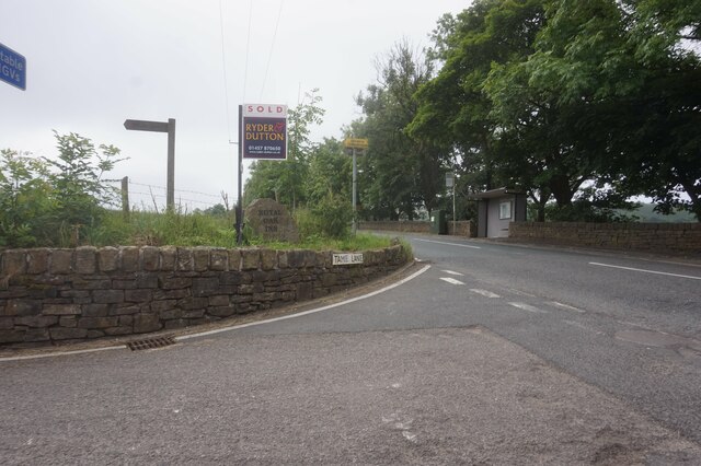
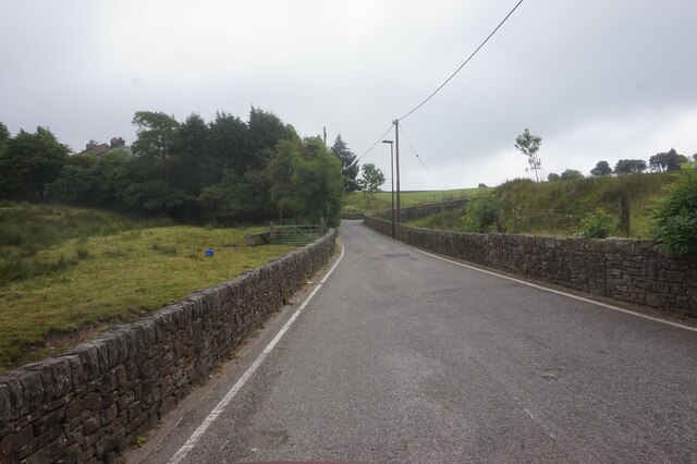
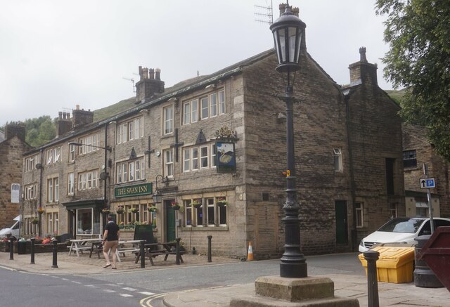
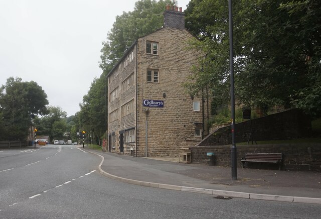
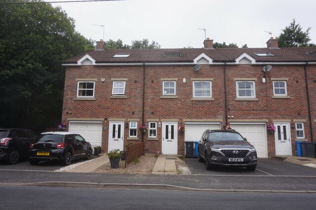
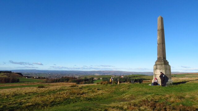
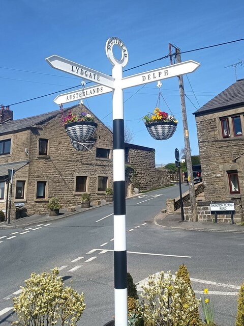
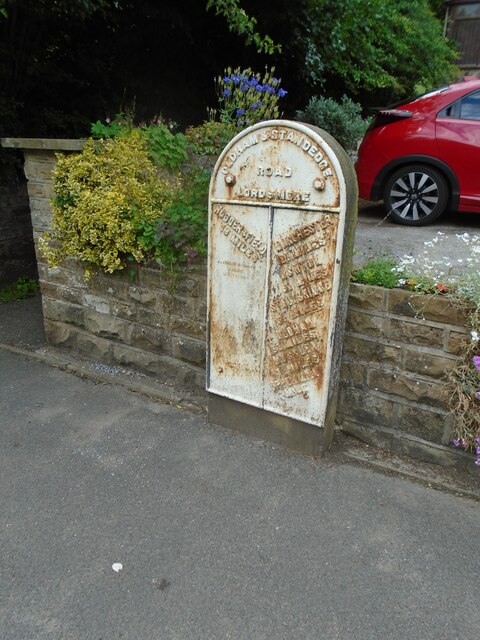
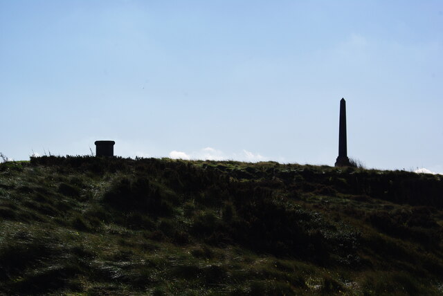
Swan Meadow Images
Images are sourced within 2km of 53.568291/-2.0286356 or Grid Reference SD9807. Thanks to Geograph Open Source API. All images are credited.


Swan Meadow is located at Grid Ref: SD9807 (Lat: 53.568291, Lng: -2.0286356)
Division: West Riding
Unitary Authority: Oldham
Police Authority: Greater Manchester
What 3 Words
///adapt.bronzer.loudly. Near Delph, Manchester
Nearby Locations
Related Wikis

Delph
Delph (Old English (ge)delf a quarry) is a village in the civil parish of Saddleworth in the Metropolitan Borough of Oldham, in Greater Manchester, England...

Delph railway station
Delph railway station served the village of Delph, Oldham, in what is now Greater Manchester, United Kingdom, between 1851 and 1955. == History == The...

Heights, Greater Manchester
Heights is a hamlet in the Saddleworth parish of the Metropolitan Borough of Oldham, in Greater Manchester, England. It is directly north of Delph, and...
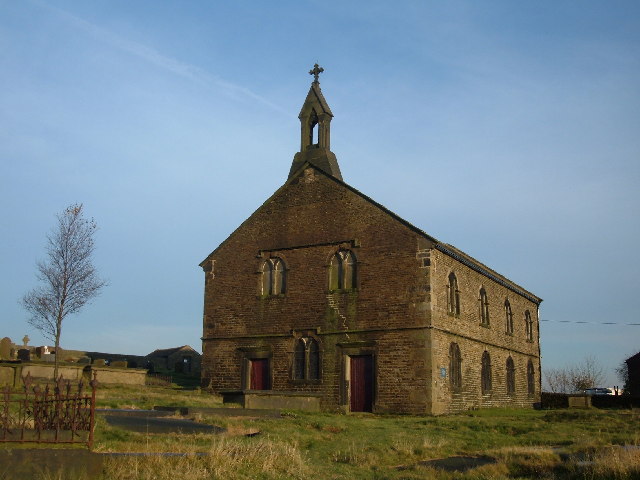
St Thomas' Church, Friarmere
St Thomas' Church, Friarmere, also known as Heights Chapel, is a redundant Anglican church standing on a hillside overlooking the village of Delph, Greater...

Measurements Halt railway station
Measurements Halt railway station was opened on 18 July 1932 as part of the former London and North Western Railway route from Oldham to Delph. The station...

Dobcross
Dobcross is a village in the civil parish of Saddleworth in the Metropolitan Borough of Oldham in Greater Manchester, England. It is in a valley in the...
Dobcross railway station
Dobcross railway station served the village of Dobcross between 1912 and 1955. == History == The station was opened on 1 January 1912 as part of the London...
Saddleworth railway station
Saddleworth railway station, on the Huddersfield Line in Dobcross to the north of Uppermill, opened in August 1849 and closed to passengers in October...
Nearby Amenities
Located within 500m of 53.568291,-2.0286356Have you been to Swan Meadow?
Leave your review of Swan Meadow below (or comments, questions and feedback).