Delph Hill
Hill, Mountain in Yorkshire
England
Delph Hill
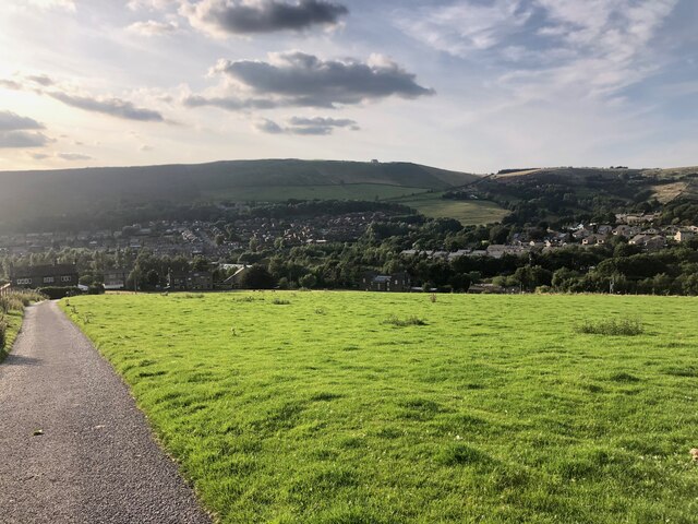
Delph Hill is a prominent hill located in the county of Yorkshire, England. Standing at an elevation of approximately 300 meters (984 feet), it is a significant landmark that provides breathtaking panoramic views of the surrounding area. Delph Hill is situated in the northern part of Yorkshire, near the town of Holmfirth.
The hill is known for its distinctive shape, characterized by its steep slopes and rugged terrain. Its summit is relatively flat, providing an excellent vantage point for visitors to admire the picturesque countryside. On clear days, it is possible to see as far as the Peak District National Park, which lies to the south of Delph Hill.
The hill is accessible via a network of footpaths and trails that wind through the surrounding moorland and forests. These paths offer opportunities for hikers and outdoor enthusiasts to explore the natural beauty of the area. Delph Hill is also a popular destination for birdwatching, with various species of birds, including kestrels and peregrine falcons, often spotted in the vicinity.
The area surrounding Delph Hill is rich in history, with evidence of human settlements dating back thousands of years. Archaeological finds suggest that the hill was once inhabited during the Iron Age and Roman periods. The remnants of ancient settlements and burial mounds can still be seen in the vicinity, adding to the cultural significance of the area.
Overall, Delph Hill is a captivating natural landmark that offers visitors a chance to immerse themselves in the stunning landscapes and rich history of Yorkshire.
If you have any feedback on the listing, please let us know in the comments section below.
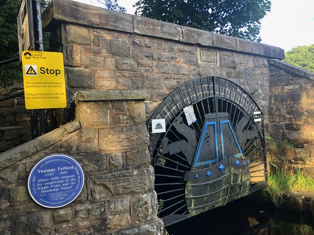
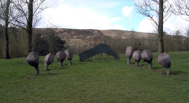
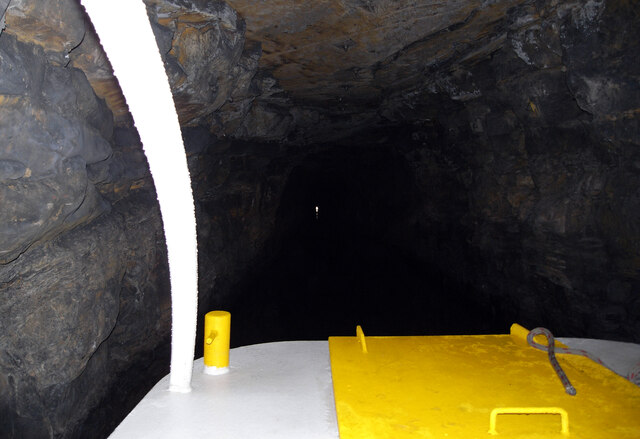
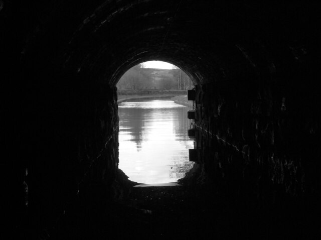
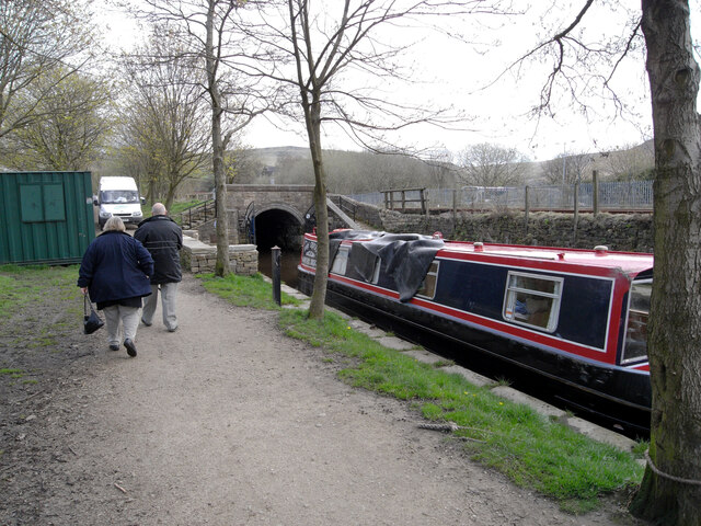
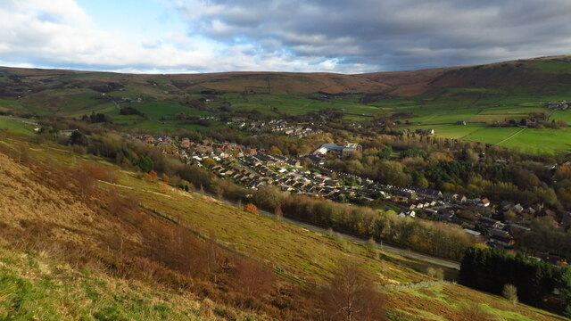
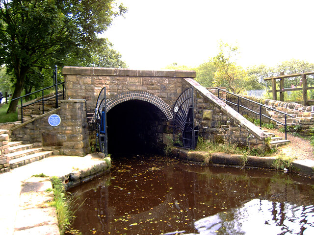
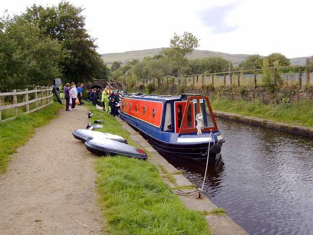
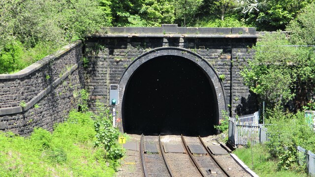
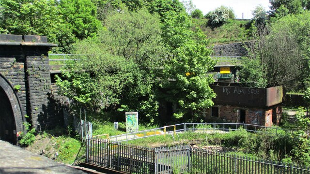
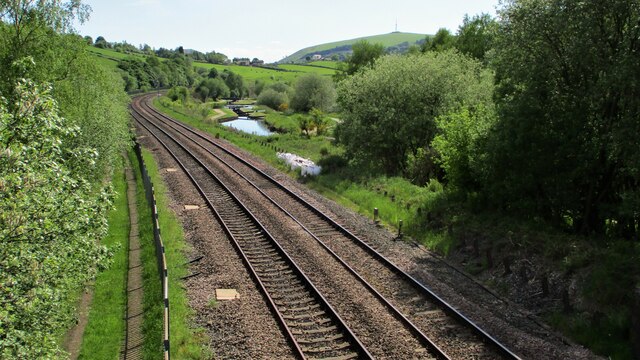
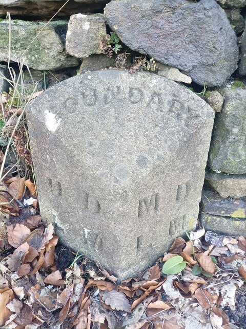
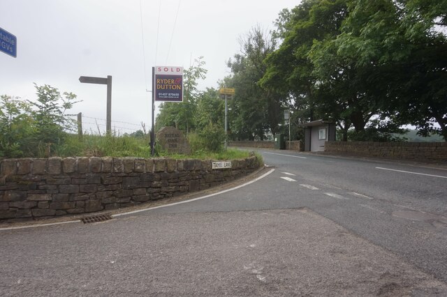
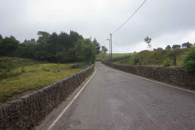
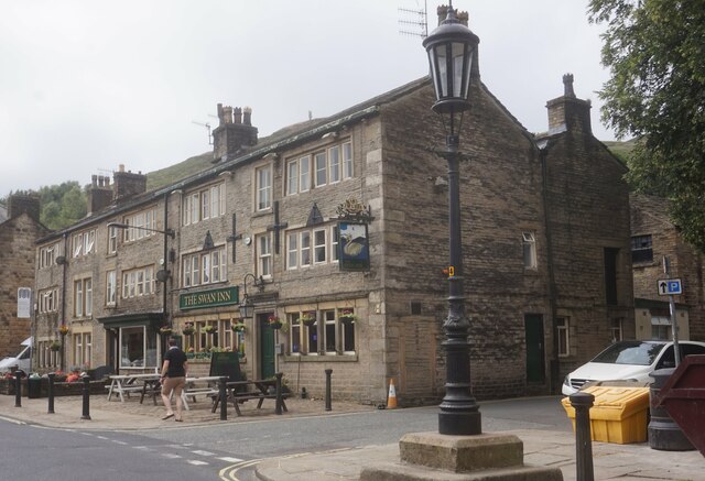
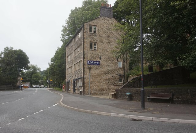
Delph Hill Images
Images are sourced within 2km of 53.568292/-2.0194551 or Grid Reference SD9807. Thanks to Geograph Open Source API. All images are credited.

Delph Hill is located at Grid Ref: SD9807 (Lat: 53.568292, Lng: -2.0194551)
Division: West Riding
Unitary Authority: Oldham
Police Authority: Greater Manchester
What 3 Words
///beaks.aquatics.bluff. Near Delph, Manchester
Nearby Locations
Related Wikis

Delph
Delph (Old English (ge)delf a quarry) is a village in the civil parish of Saddleworth in the Metropolitan Borough of Oldham, in Greater Manchester, England...

Delph railway station
Delph railway station served the village of Delph, Oldham, in what is now Greater Manchester, United Kingdom, between 1851 and 1955. == History == The...

Heights, Greater Manchester
Heights is a hamlet in the Saddleworth parish of the Metropolitan Borough of Oldham, in Greater Manchester, England. It is directly north of Delph, and...

Measurements Halt railway station
Measurements Halt railway station was opened on 18 July 1932 as part of the former London and North Western Railway route from Oldham to Delph. The station...
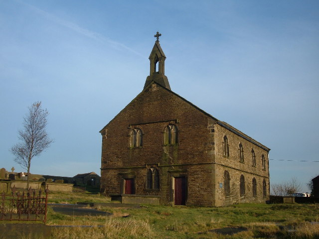
St Thomas' Church, Friarmere
St Thomas' Church, Friarmere, also known as Heights Chapel, is a redundant Anglican church standing on a hillside overlooking the village of Delph, Greater...

Dobcross
Dobcross is a village in the civil parish of Saddleworth in the Metropolitan Borough of Oldham in Greater Manchester, England. It is in a valley in the...

Diggle, Greater Manchester
Diggle is a village in the civil parish of the Saddleworth in Metropolitan Borough of Oldham, in Greater Manchester, England. The village is situated on...
Dobcross railway station
Dobcross railway station served the village of Dobcross between 1912 and 1955. == History == The station was opened on 1 January 1912 as part of the London...
Nearby Amenities
Located within 500m of 53.568292,-2.0194551Have you been to Delph Hill?
Leave your review of Delph Hill below (or comments, questions and feedback).