Bield Hill
Hill, Mountain in Northumberland
England
Bield Hill

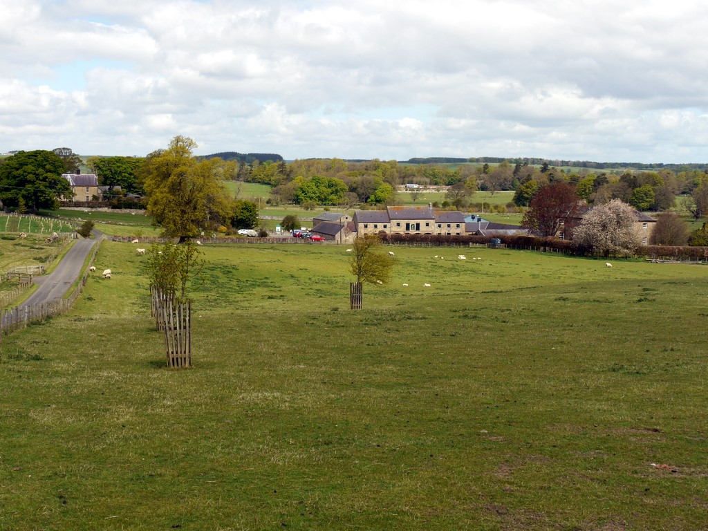
Bield Hill is a prominent hill located in the county of Northumberland, England. It is part of the Cheviot Hills, a range that extends along the border between England and Scotland. Bield Hill sits at an elevation of 479 meters (1,572 feet) and offers breathtaking panoramic views of the surrounding countryside.
The hill is characterized by its rolling grassy slopes, which are interspersed with rocky outcrops and crags. These features contribute to the scenic beauty of the area and make Bield Hill a popular destination for hikers and nature enthusiasts.
At the summit of Bield Hill, visitors can enjoy a commanding view of the Northumberland National Park, with its vast expanses of moorland, forests, and rivers. On clear days, it is possible to see as far as the North Sea and the Scottish Borders.
The hill is also home to a variety of wildlife, including native bird species such as curlews, skylarks, and meadow pipits. Red grouse, a game bird, can be found in the heather-covered moorland surrounding Bield Hill.
Access to Bield Hill is relatively easy, with several walking routes leading to the summit. The most popular trail starts from the nearby village of Ingram, taking walkers through a mixture of farmland and open countryside.
Overall, Bield Hill is a picturesque and accessible destination, offering visitors a chance to immerse themselves in the natural beauty of Northumberland's landscape.
If you have any feedback on the listing, please let us know in the comments section below.
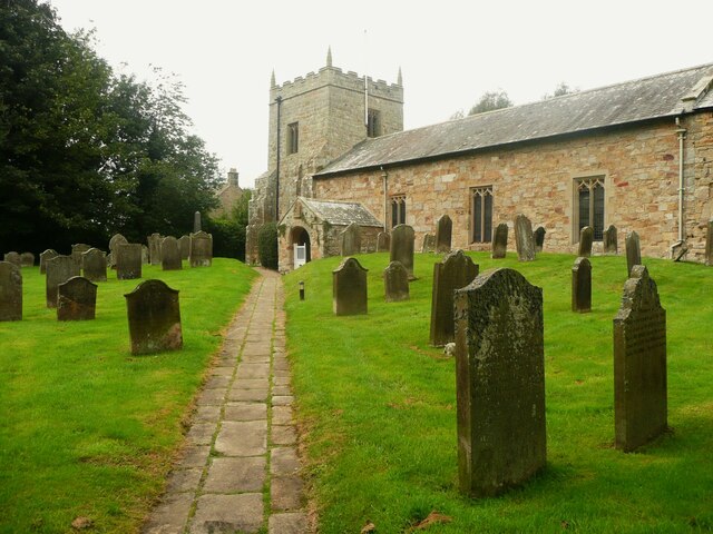
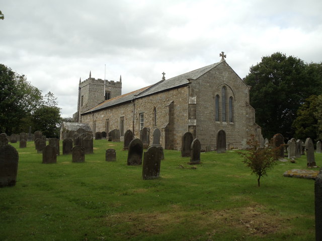
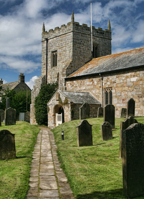
Bield Hill Images
Images are sourced within 2km of 55.144992/-2.02057 or Grid Reference NY9883. Thanks to Geograph Open Source API. All images are credited.


Bield Hill is located at Grid Ref: NY9883 (Lat: 55.144992, Lng: -2.02057)
Unitary Authority: Northumberland
Police Authority: Northumbria
What 3 Words
///weddings.dragon.ferried. Near Rothley, Northumberland
Nearby Locations
Related Wikis

Little Harle Tower
Little Harle Tower is a Grade II* listed privately owned country house with 15th-century origins, located at Little Harle, Kirkwhelpington, Northumberland...

Kirkwhelpington
Kirkwhelpington is a village and civil parish in the English county of Northumberland about 13 miles (21 km) northeast of Hexham. It is on the River Wansbeck...

Knowesgate railway station
Knowesgate was a stone-built railway station with goods sidings in Northumberland, England on the Wansbeck Railway between Morpeth and Reedsmouth, which...

Northumberland
Northumberland ( nor-THUM-bər-lənd) is a ceremonial county in North East England, bordering Scotland. It is bordered by the Scottish Borders to the north...

Kirkharle Hall
Kirkharle Hall was a country house at Kirkharle, Northumberland, England, the former seat of the Loraine family, now much reduced and in use as a farmhouse...
Kirkharle
Kirkharle (otherwise Kirk Harle) is a village and former civil parish, now in the parish of Kirkwhelpington, in the county of Northumberland in Northern...
Bavington Crags
Bavington Crags is a Site of Special Scientific Interest (SSSI) in north Northumberland, England. The site is an outcropping of the Whin Sill which gives...

Wallington Hall
Wallington is a country house and gardens located about 12 miles (19 km) west of Morpeth, Northumberland, England, near the village of Cambo. It has been...
Nearby Amenities
Located within 500m of 55.144992,-2.02057Have you been to Bield Hill?
Leave your review of Bield Hill below (or comments, questions and feedback).