Well Bottom Belt
Wood, Forest in Wiltshire
England
Well Bottom Belt
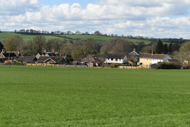
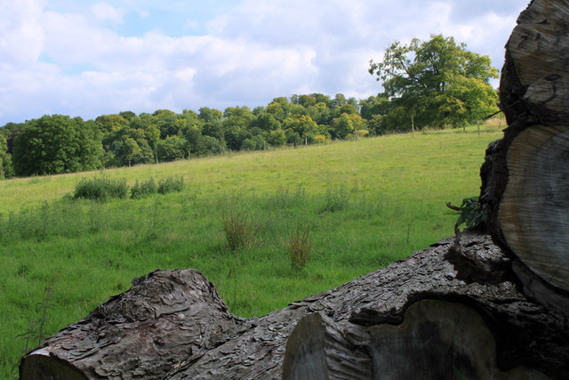
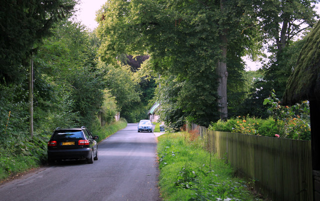
Well Bottom Belt is a charming woodland area located in the county of Wiltshire, England. Nestled in the heart of the picturesque countryside, this ancient forest is renowned for its natural beauty and rich history. Covering an area of approximately 500 acres, Well Bottom Belt is a haven for nature enthusiasts and outdoor adventurers alike.
The woodland is predominantly composed of broad-leaved trees, including oak, birch, and beech, which create a dense canopy that provides shelter for a diverse range of flora and fauna. The forest floor is adorned with a vibrant carpet of wildflowers, ferns, and mosses, adding to its enchanting allure.
Well Bottom Belt is home to an array of wildlife, making it a popular destination for birdwatchers and animal lovers. Visitors may spot various species, such as woodpeckers, tawny owls, and foxes, as they explore the well-maintained network of trails that crisscross the forest. These pathways offer a tranquil escape for walkers, joggers, and cyclists, providing ample opportunities to immerse oneself in the serene surroundings.
For those interested in history, Well Bottom Belt boasts ancient features that hint at its past. The remnants of a Roman road can be found within the woodland, serving as a reminder of the area's historical significance. Additionally, there are archaeological sites nearby that date back to the Neolithic period, offering glimpses into the lives of our ancestors.
Overall, Well Bottom Belt in Wiltshire is a captivating destination that offers a perfect blend of natural beauty, recreational activities, and historical intrigue.
If you have any feedback on the listing, please let us know in the comments section below.
Well Bottom Belt Images
Images are sourced within 2km of 51.168955/-2.0629679 or Grid Reference ST9541. Thanks to Geograph Open Source API. All images are credited.
![Corton village [8] Old Farm Cottage is an early 18th century semi-detached house. Constructed of squared, coursed limestone and limestone ashlar under a pantile roof. Some original internal features remain. Listed, grade II, with details at: <span class="nowrap"><a title="https://historicengland.org.uk/listing/the-list/list-entry/1036348" rel="nofollow ugc noopener" href="https://historicengland.org.uk/listing/the-list/list-entry/1036348">Link</a><img style="margin-left:2px;" alt="External link" title="External link - shift click to open in new window" src="https://s1.geograph.org.uk/img/external.png" width="10" height="10"/></span>
Corton is a small village in the Wylye Valley, Wiltshire, about 5 miles southeast of Warminster and 14¼ miles northwest of Salisbury. There is much evidence of ancient settlement in the area, including Corton Long Barrow on Barrow Hill, southwest of the village. Most working residents in the village commute.](https://s2.geograph.org.uk/geophotos/07/34/49/7344926_dc663684.jpg)
![Corton village [9] Jubilee Cottage is built gable end to the street. The rear part is 17th century
in square-panel timber framing with brick nogging and weatherboard cladding to the south side. The front part is 19th century in rubble stone with brick dressings. All under a thatch roof. The cottage is a rare example of surviving timber framing in this area. Listed, grade II, with details at: <span class="nowrap"><a title="https://historicengland.org.uk/listing/the-list/list-entry/1183274" rel="nofollow ugc noopener" href="https://historicengland.org.uk/listing/the-list/list-entry/1183274">Link</a><img style="margin-left:2px;" alt="External link" title="External link - shift click to open in new window" src="https://s1.geograph.org.uk/img/external.png" width="10" height="10"/></span>
Corton is a small village in the Wylye Valley, Wiltshire, about 5 miles southeast of Warminster and 14¼ miles northwest of Salisbury. There is much evidence of ancient settlement in the area, including Corton Long Barrow on Barrow Hill, southwest of the village. Most working residents in the village commute.](https://s3.geograph.org.uk/geophotos/07/34/49/7344927_653dbb65.jpg)


Well Bottom Belt is located at Grid Ref: ST9541 (Lat: 51.168955, Lng: -2.0629679)
Unitary Authority: Wiltshire
Police Authority: Wiltshire
What 3 Words
///first.defaults.beams. Near Boyton, Wiltshire
Nearby Locations
Related Wikis

Codford railway station
Codford railway station was an intermediate station on the Salisbury branch line of the Great Western Railway built along the Wylye valley to connect Warminster...
Greenways School
Greenways School, also known as Greenways Preparatory School, was an English prep school, founded at Bognor Regis, Sussex, before the Second World War...
Ashton Gifford House
Ashton Gifford House is a Grade II listed country house in the hamlet of Ashton Gifford, part of the civil parish of Codford in the English county of Wiltshire...

Upton Lovell
Upton Lovell is a village and civil parish in Wiltshire, England. It lies on the A36, in the Wylye valley about 5 miles (8.0 km) southeast of Warminster...
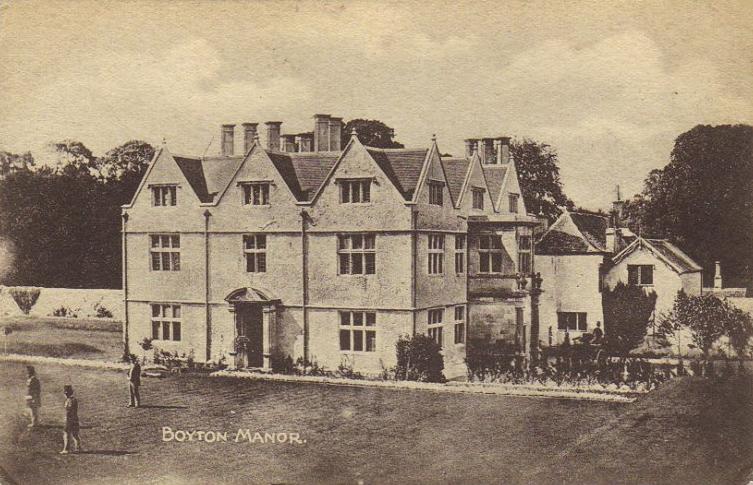
Boyton, Wiltshire
Boyton is a village and civil parish in Wiltshire, England. It lies in the Wylye Valley within Salisbury Plain, about 6 miles (10 km) south-east of Warminster...

Woolstore Theatre
The Woolstore Theatre is a theatre in the village of Codford, Wiltshire, England. The theatre has been operating since 1928, when it was built by Colonel...

Codford
Codford is a civil parish south of Salisbury Plain in the Wylye Valley in Wiltshire, England. Its settlements are the adjacent villages of Codford St Peter...

Sherrington
Sherrington is a small village and civil parish on the River Wylye in Wiltshire, England. The part of the Great Ridge Wood known as Snailcreep Hanging...
Related Videos
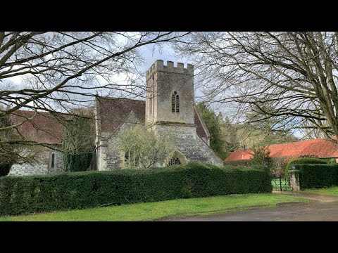
St Mary's Church, Boyton, Wiltshire, England
Filmed April, 2022.
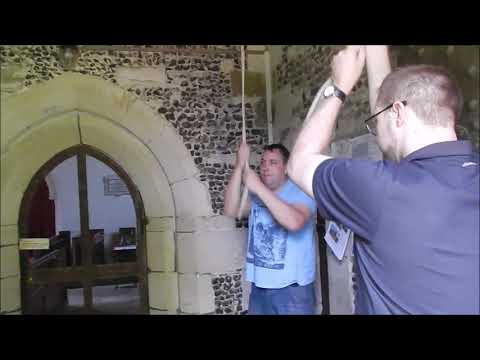
Mixed Doubles at Boyton, Wiltshire
Some St Simon and St Martin Doubles on this little ground-floor five, filmed 20th August 2015 (the same day we went to Imber).

St Mary’s Church, Codford, Wiltshire, England
Filmed October and November, 2021. Music: Vaughan Williams - The Lark Ascending Benedictines Of Mary, Queen of Apostles ...

2nd June Chitterne Anstey ........
In the woods tis lovely ☕️☕️
Nearby Amenities
Located within 500m of 51.168955,-2.0629679Have you been to Well Bottom Belt?
Leave your review of Well Bottom Belt below (or comments, questions and feedback).