Foss Belt
Wood, Forest in Wiltshire
England
Foss Belt
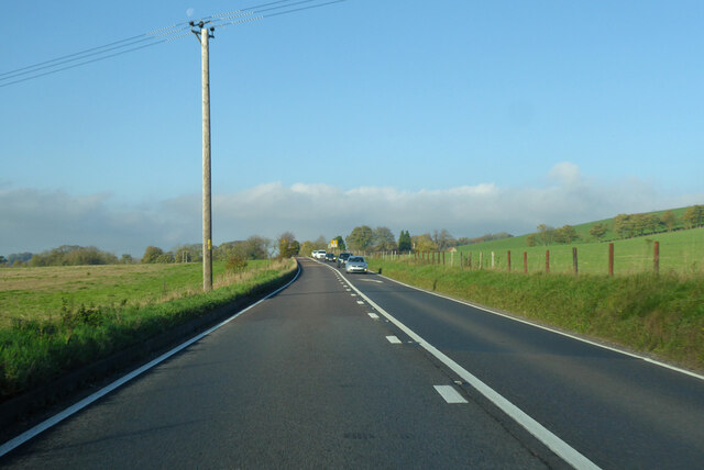
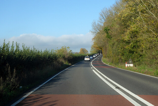
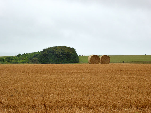
Foss Belt, located in Wiltshire, England, is a picturesque woodland area renowned for its natural beauty and rich history. Spanning over an area of approximately 50 square kilometers, this enchanting forest is a popular destination for nature enthusiasts and history buffs alike.
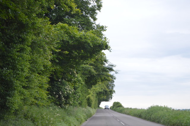
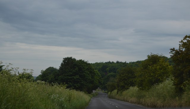
The woodlands of Foss Belt are characterized by a diverse range of tree species, including oak, beech, and birch. The dense foliage provides a habitat for numerous wildlife species, making it an ideal spot for birdwatching and wildlife observation. Visitors can often spot rare and elusive species such as deer, badgers, and foxes roaming freely in their natural habitat.
The history of Foss Belt is equally fascinating. The forest has been inhabited for centuries, with evidence of human activity dating back to the Neolithic period. The area boasts a number of ancient archaeological sites, including burial mounds and earthworks, which offer a glimpse into the lives of early civilizations.
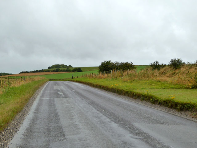
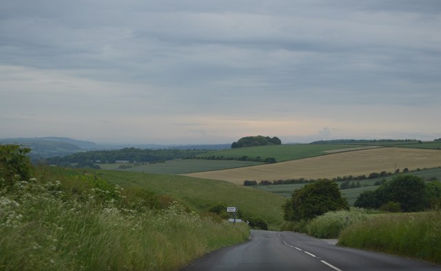
For those interested in outdoor activities, Foss Belt offers several well-maintained walking trails that crisscross the forest. These trails cater to both casual strollers and avid hikers, offering varying levels of difficulty and stunning vistas along the way.
Overall, Foss Belt, Wiltshire is a captivating destination that seamlessly blends nature and history. With its lush woodlands, impressive wildlife, and intriguing historical sites, it is a must-visit location for anyone seeking a tranquil escape into the heart of the English countryside.
If you have any feedback on the listing, please let us know in the comments section below.
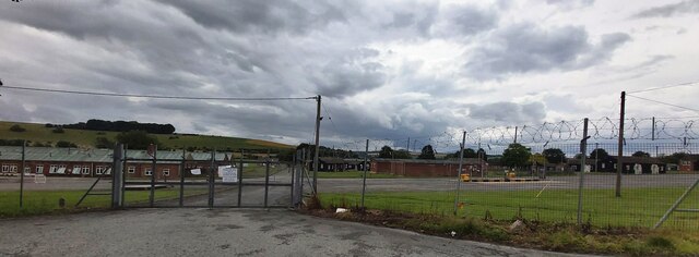
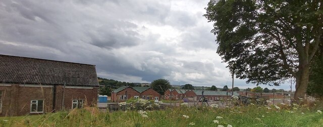
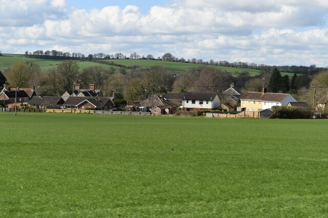
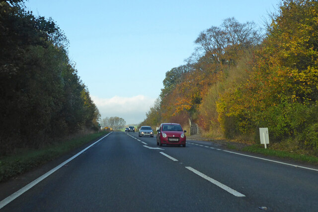
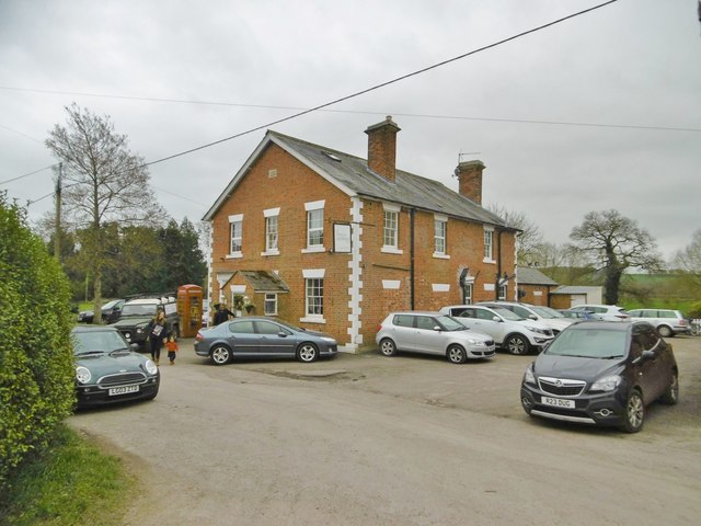
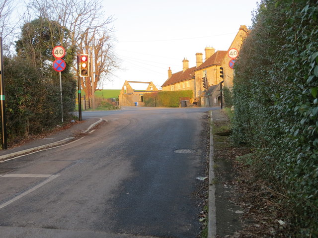
Foss Belt Images
Images are sourced within 2km of 51.177143/-2.0690875 or Grid Reference ST9541. Thanks to Geograph Open Source API. All images are credited.

Foss Belt is located at Grid Ref: ST9541 (Lat: 51.177143, Lng: -2.0690875)
Unitary Authority: Wiltshire
Police Authority: Wiltshire
What 3 Words
///bravo.stowing.protests. Near Boyton, Wiltshire
Nearby Locations
Related Wikis

Upton Lovell
Upton Lovell is a village and civil parish in Wiltshire, England. It lies on the A36, in the Wylye valley about 5 miles (8.0 km) southeast of Warminster...
Knook
Knook is a small village and civil parish in Wiltshire, England. The village lies to the north of the River Wylye at the edge of Salisbury Plain, about...

Codford railway station
Codford railway station was an intermediate station on the Salisbury branch line of the Great Western Railway built along the Wylye valley to connect Warminster...

Greenways School
Greenways School, also known as Greenways Preparatory School, was an English prep school, founded at Bognor Regis, Sussex, before the Second World War...
Ashton Gifford House
Ashton Gifford House is a Grade II listed country house in the hamlet of Ashton Gifford, part of the civil parish of Codford in the English county of Wiltshire...

Knook Castle
Knook Castle is the site of an Iron Age univallate hillfort on Knook Down, near the village of Knook in Wiltshire, England, but largely within the civil...
Boyton, Wiltshire
Boyton is a village and civil parish in Wiltshire, England. It lies in the Wylye Valley within Salisbury Plain, about 6 miles (10 km) south-east of Warminster...

Woolstore Theatre
The Woolstore Theatre is a theatre in the village of Codford, Wiltshire, England. The theatre has been operating since 1928, when it was built by Colonel...
Nearby Amenities
Located within 500m of 51.177143,-2.0690875Have you been to Foss Belt?
Leave your review of Foss Belt below (or comments, questions and feedback).