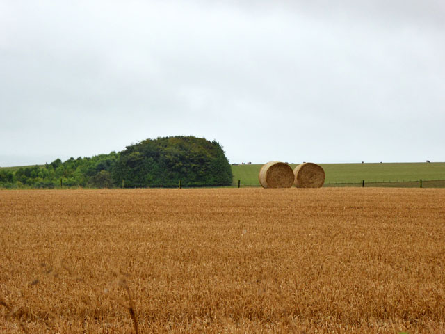
Bagbury Belt
Wood, Forest in Wiltshire
England
Bagbury Belt
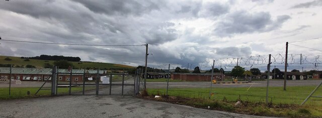
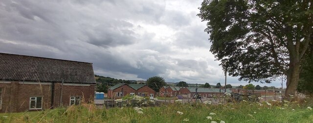
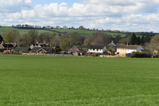
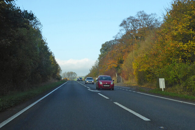
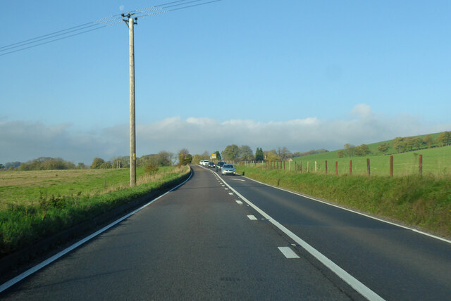
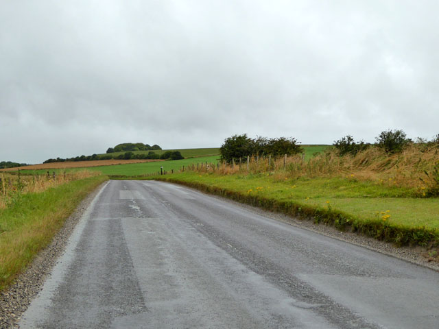
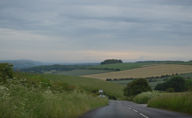
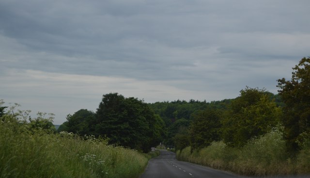
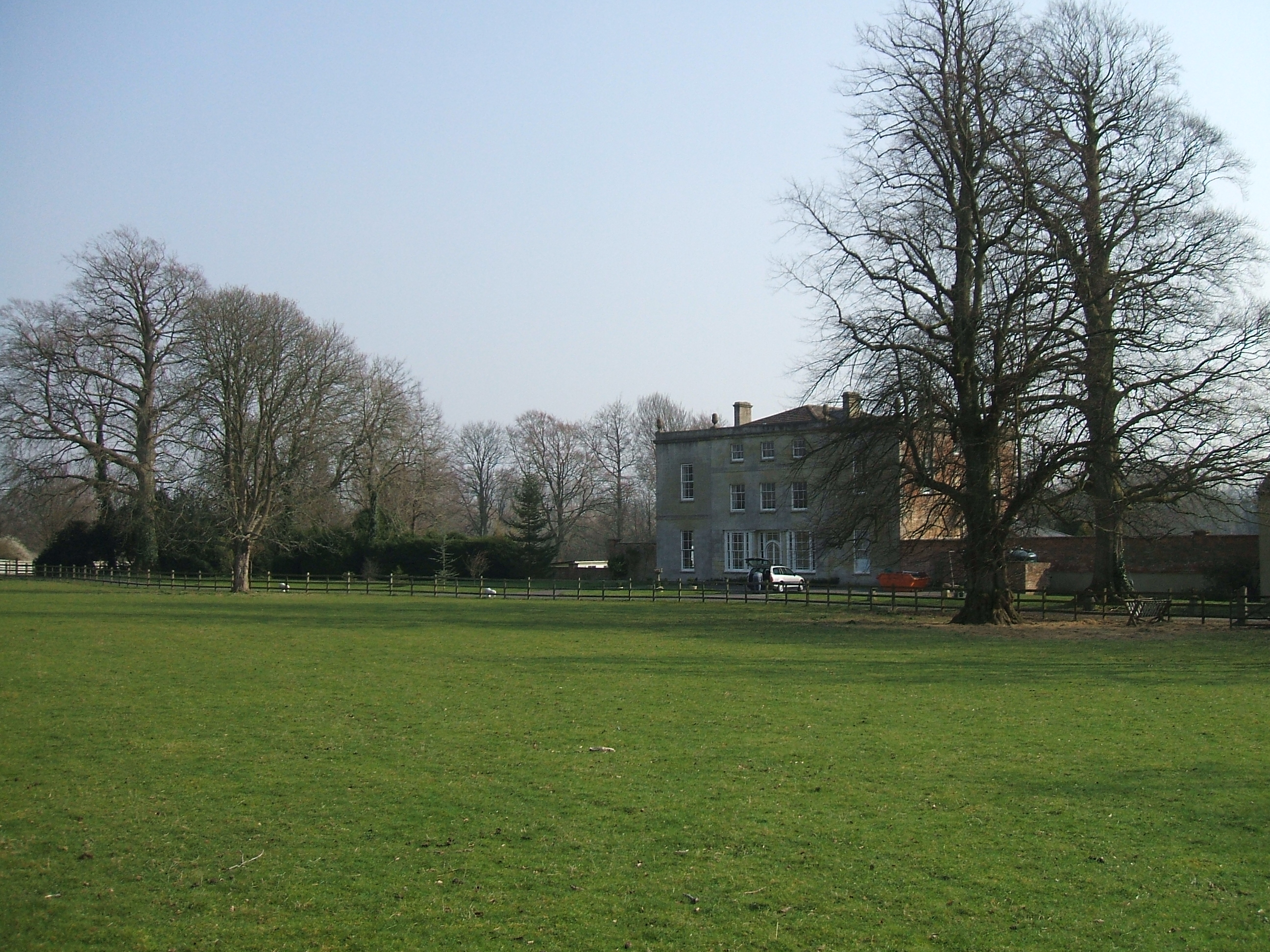
Bagbury Belt is a beautiful wood located in the county of Wiltshire, England. It is situated near the village of Bagbury, which is approximately 6 miles south of the town of Swindon. The Belt covers an area of around 500 acres and is known for its rich biodiversity and stunning natural landscapes.
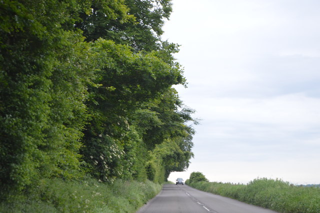
The woodland consists mainly of oak trees, but it also features a variety of other native tree species such as birch, beech, and ash. The dense canopy of the trees creates a cool and shaded environment, making it a perfect place for a leisurely stroll or a picnic on a sunny day.
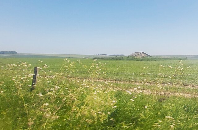
Bagbury Belt is home to a diverse range of wildlife, including several species of birds, mammals, and insects. Visitors can often spot woodland birds like woodpeckers, nuthatches, and owls, as well as deer, foxes, and squirrels. The woodland floor is carpeted with an assortment of wildflowers, ferns, and mosses, adding to its natural beauty.
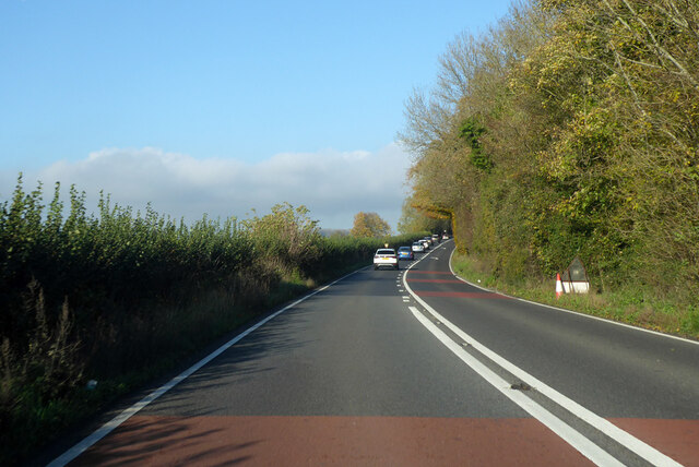
The Belt also has a network of well-maintained footpaths and trails, making it easily accessible for walkers and nature enthusiasts. There are several picnic spots and benches scattered throughout the wood, providing opportunities for visitors to relax and enjoy the tranquil surroundings.
Bagbury Belt is a popular destination for both locals and tourists who are looking to escape the hustle and bustle of urban life and immerse themselves in nature. It offers a peaceful and serene setting, making it an ideal place for nature walks, wildlife spotting, and enjoying the beauty of the British countryside.
If you have any feedback on the listing, please let us know in the comments section below.
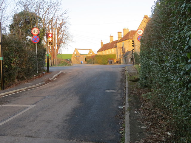
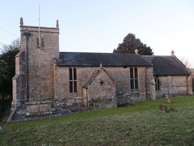
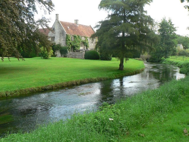
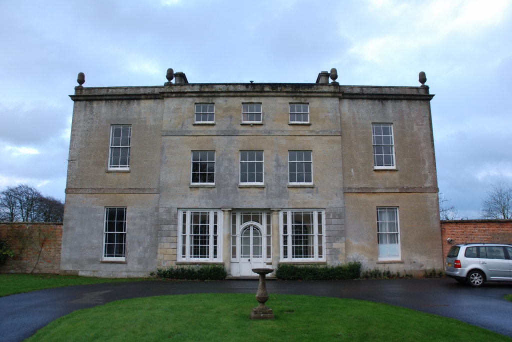
Bagbury Belt Images
Images are sourced within 2km of 51.17685/-2.0630932 or Grid Reference ST9541. Thanks to Geograph Open Source API. All images are credited.
Bagbury Belt is located at Grid Ref: ST9541 (Lat: 51.17685, Lng: -2.0630932)
Unitary Authority: Wiltshire
Police Authority: Wiltshire
What 3 Words
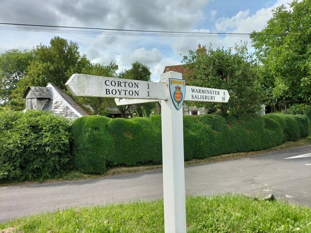
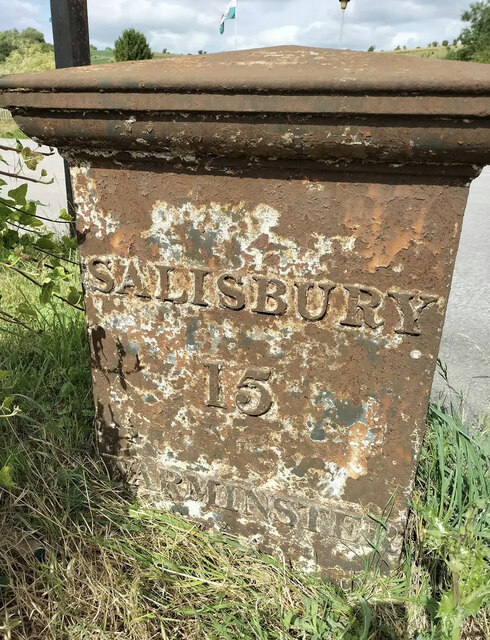
///divorcing.artist.enchanted. Near Boyton, Wiltshire
Nearby Locations
Related Wikis

Upton Lovell
Upton Lovell is a village and civil parish in Wiltshire, England. It lies on the A36, in the Wylye valley about 5 miles (8.0 km) southeast of Warminster...
Knook
Knook is a small village and civil parish in Wiltshire, England. The village lies to the north of the River Wylye at the edge of Salisbury Plain, about...

Codford railway station
Codford railway station was an intermediate station on the Salisbury branch line of the Great Western Railway built along the Wylye valley to connect Warminster...
Greenways School
Greenways School, also known as Greenways Preparatory School, was an English prep school, founded at Bognor Regis, Sussex, before the Second World War...
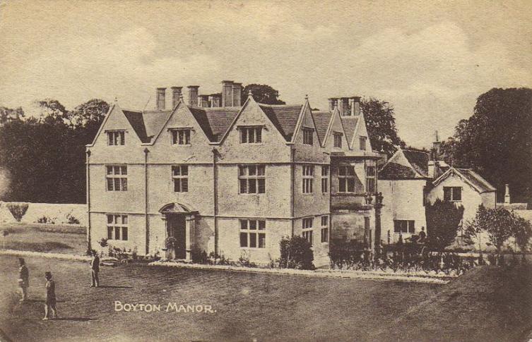
Ashton Gifford House
Ashton Gifford House is a Grade II listed country house in the hamlet of Ashton Gifford, part of the civil parish of Codford in the English county of Wiltshire...

Knook Castle
Knook Castle is the site of an Iron Age univallate hillfort on Knook Down, near the village of Knook in Wiltshire, England, but largely within the civil...
Boyton, Wiltshire
Boyton is a village and civil parish in Wiltshire, England. It lies in the Wylye Valley within Salisbury Plain, about 6 miles (10 km) south-east of Warminster...

Woolstore Theatre
The Woolstore Theatre is a theatre in the village of Codford, Wiltshire, England. The theatre has been operating since 1928, when it was built by Colonel...
Related Videos
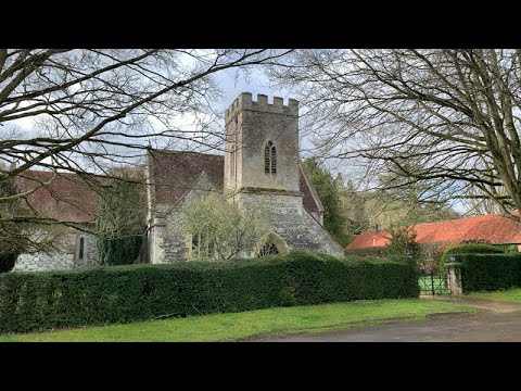
St Mary's Church, Boyton, Wiltshire, England
Filmed April, 2022.
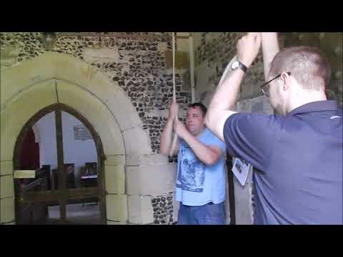
Mixed Doubles at Boyton, Wiltshire
Some St Simon and St Martin Doubles on this little ground-floor five, filmed 20th August 2015 (the same day we went to Imber).

2nd June Chitterne Anstey ........
In the woods tis lovely ☕️☕️

St Augustine's Church, Upton Lovell, Wiltshire, England
Filmed April, 2022.
Nearby Amenities
Located within 500m of 51.17685,-2.0630932Have you been to Bagbury Belt?
Leave your review of Bagbury Belt below (or comments, questions and feedback).