Well Bottom
Valley in Wiltshire
England
Well Bottom
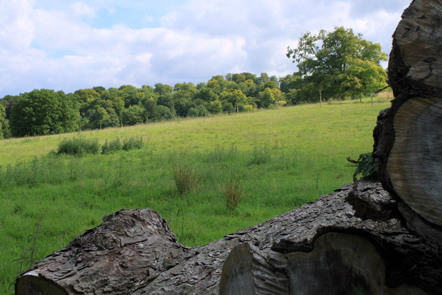
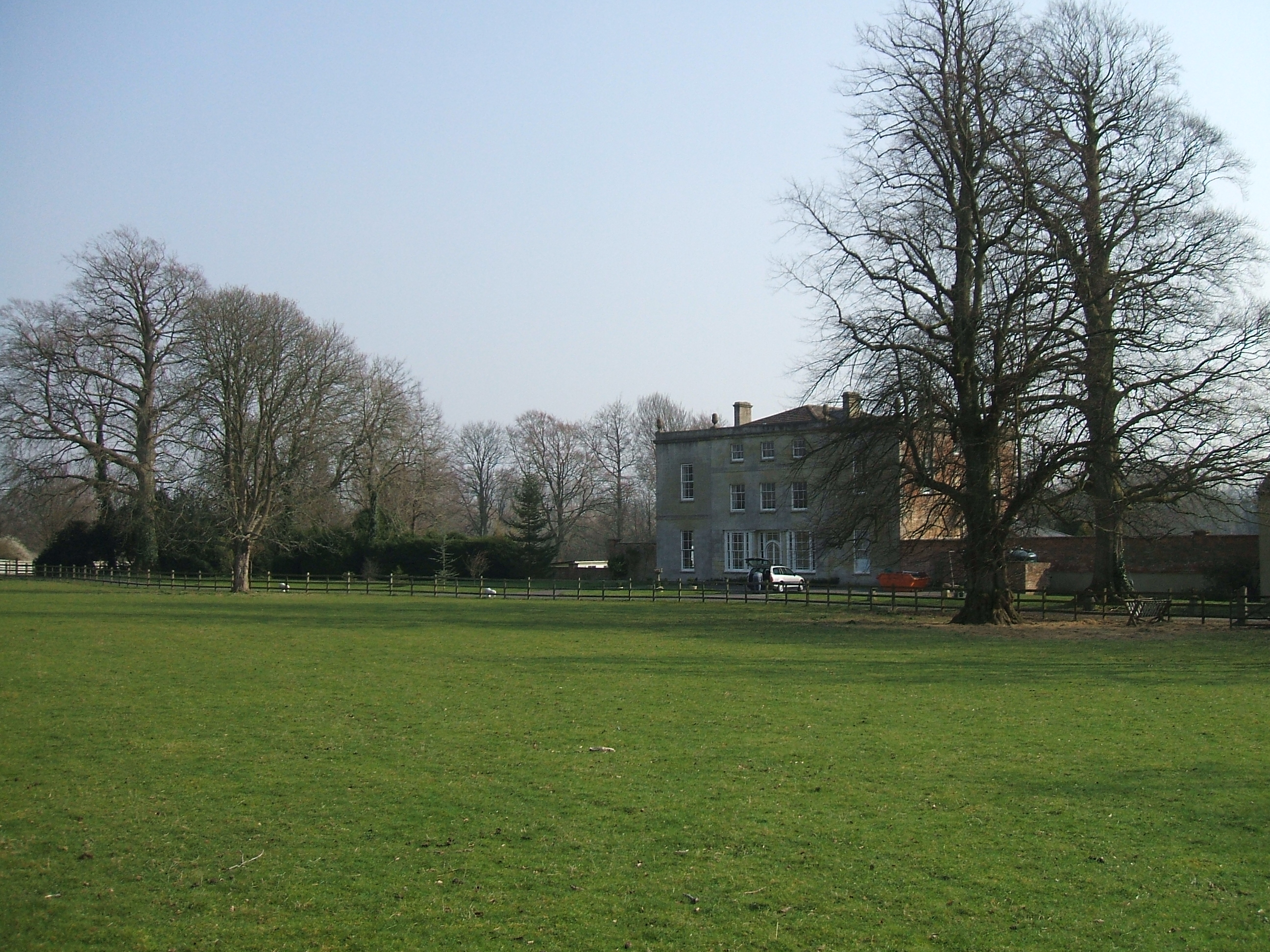
Well Bottom is a picturesque valley located in the county of Wiltshire, England. Nestled between rolling hills and lush green meadows, this tranquil rural area offers a serene and idyllic escape from the hustle and bustle of city life.
The valley is characterized by its charming and unspoiled natural beauty, with a small stream meandering through its center. This babbling brook serves as a focal point, providing a soothing ambiance and attracting a variety of wildlife.
Surrounded by ancient woodland, Well Bottom is a haven for nature enthusiasts and outdoor adventurers. Walking trails crisscross the valley, offering visitors the opportunity to explore and discover the diverse flora and fauna that call this area home.
In addition to its natural attractions, Well Bottom also boasts historical significance. The remains of a medieval well, from which the valley derives its name, can still be found here. This well was once a vital source of water for the local community, serving as a focal point for daily life.
Despite its rural setting, Well Bottom is conveniently located within easy reach of nearby villages and towns. The charming market town of Marlborough is just a short drive away, offering a range of amenities, shops, and restaurants.
Overall, Well Bottom, Wiltshire, is a hidden gem that offers a perfect blend of natural beauty, tranquility, and historical charm. It provides a peaceful retreat for those seeking a break from the fast-paced modern world, while also offering ample opportunities for exploration and adventure.
If you have any feedback on the listing, please let us know in the comments section below.
Well Bottom Images
Images are sourced within 2km of 51.173485/-2.0658063 or Grid Reference ST9541. Thanks to Geograph Open Source API. All images are credited.
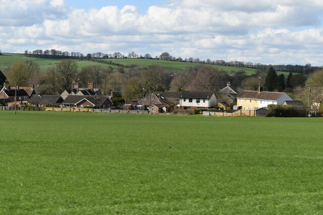
![Corton village [8] Old Farm Cottage is an early 18th century semi-detached house. Constructed of squared, coursed limestone and limestone ashlar under a pantile roof. Some original internal features remain. Listed, grade II, with details at: <span class="nowrap"><a title="https://historicengland.org.uk/listing/the-list/list-entry/1036348" rel="nofollow ugc noopener" href="https://historicengland.org.uk/listing/the-list/list-entry/1036348">Link</a><img style="margin-left:2px;" alt="External link" title="External link - shift click to open in new window" src="https://s1.geograph.org.uk/img/external.png" width="10" height="10"/></span>
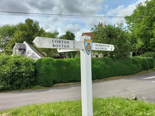
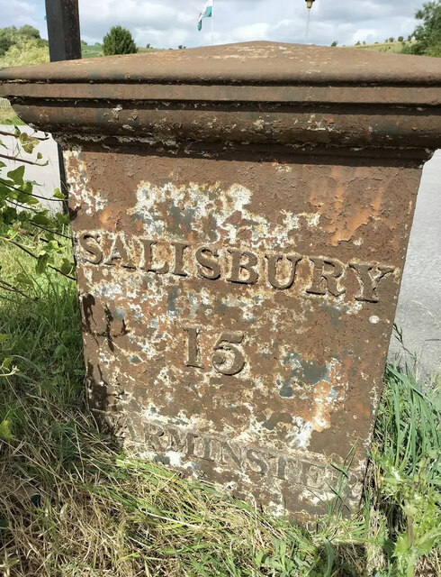
Corton is a small village in the Wylye Valley, Wiltshire, about 5 miles southeast of Warminster and 14¼ miles northwest of Salisbury. There is much evidence of ancient settlement in the area, including Corton Long Barrow on Barrow Hill, southwest of the village. Most working residents in the village commute.](https://s2.geograph.org.uk/geophotos/07/34/49/7344926_dc663684.jpg)
![Corton village [9] Jubilee Cottage is built gable end to the street. The rear part is 17th century
in square-panel timber framing with brick nogging and weatherboard cladding to the south side. The front part is 19th century in rubble stone with brick dressings. All under a thatch roof. The cottage is a rare example of surviving timber framing in this area. Listed, grade II, with details at: <span class="nowrap"><a title="https://historicengland.org.uk/listing/the-list/list-entry/1183274" rel="nofollow ugc noopener" href="https://historicengland.org.uk/listing/the-list/list-entry/1183274">Link</a><img style="margin-left:2px;" alt="External link" title="External link - shift click to open in new window" src="https://s1.geograph.org.uk/img/external.png" width="10" height="10"/></span>
Corton is a small village in the Wylye Valley, Wiltshire, about 5 miles southeast of Warminster and 14¼ miles northwest of Salisbury. There is much evidence of ancient settlement in the area, including Corton Long Barrow on Barrow Hill, southwest of the village. Most working residents in the village commute.](https://s3.geograph.org.uk/geophotos/07/34/49/7344927_653dbb65.jpg)


Well Bottom is located at Grid Ref: ST9541 (Lat: 51.173485, Lng: -2.0658063)
Unitary Authority: Wiltshire
Police Authority: Wiltshire
What 3 Words
///retailing.flaunting.tools. Near Boyton, Wiltshire
Nearby Locations
Related Wikis

Upton Lovell
Upton Lovell is a village and civil parish in Wiltshire, England. It lies on the A36, in the Wylye valley about 5 miles (8.0 km) southeast of Warminster...
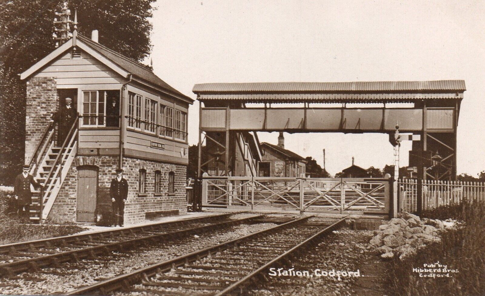
Codford railway station
Codford railway station was an intermediate station on the Salisbury branch line of the Great Western Railway built along the Wylye valley to connect Warminster...
Greenways School
Greenways School, also known as Greenways Preparatory School, was an English prep school, founded at Bognor Regis, Sussex, before the Second World War...
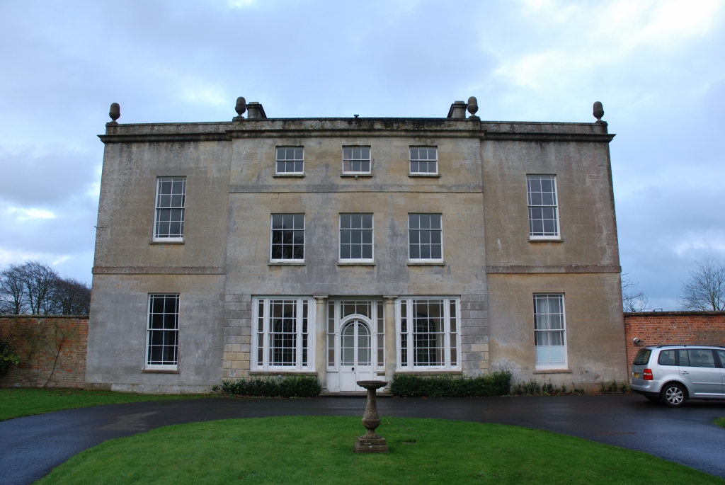
Ashton Gifford House
Ashton Gifford House is a Grade II listed country house in the hamlet of Ashton Gifford, part of the civil parish of Codford in the English county of Wiltshire...
Related Videos

Corton Long Barrow
A short video about Corton Long Barrow, near the village of Corton, Wiltshire. Sorry about the noise from the wind.

2nd June Chitterne Anstey ........
In the woods tis lovely ☕️☕️

18th July sleepy head🚐☕️☕️👍🏼🏴🌈🙏🏼💙❤️💙❤️
And relax........

Evening walk with our dogs
Portuguese Estrela and Caucasian Sheppard strolling through Wiltshire country side.
Nearby Amenities
Located within 500m of 51.173485,-2.0658063Have you been to Well Bottom?
Leave your review of Well Bottom below (or comments, questions and feedback).