Moors Covert

Wood, Forest in Staffordshire South Staffordshire

England

Moors Covert

Across the fields to church No, it's not a route, just a view from the Staffordshire and Worcestershire Canal, looking north-east towards the Church of St James in Acton Trussell.
Across the fields to church Credit: Roger Kidd

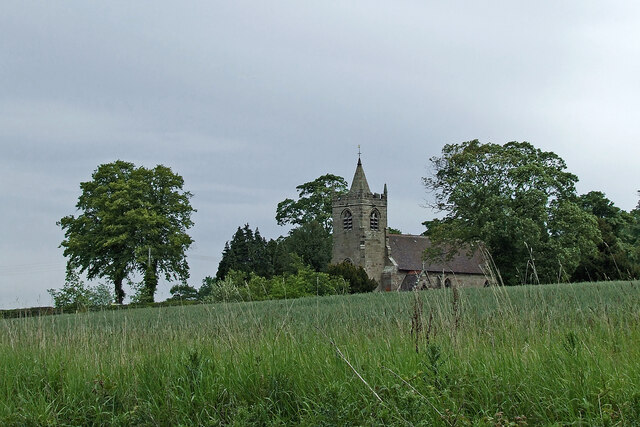
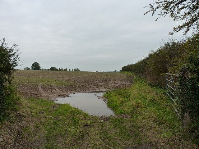
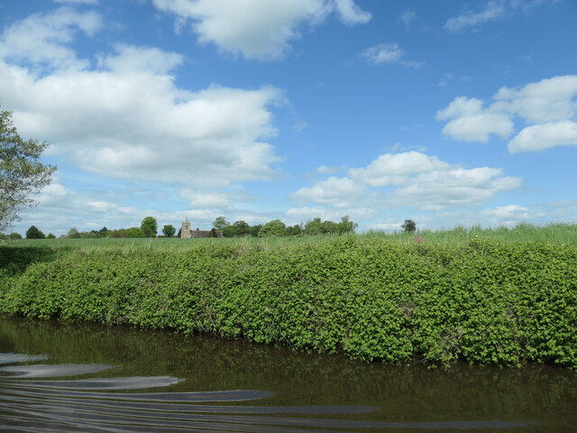
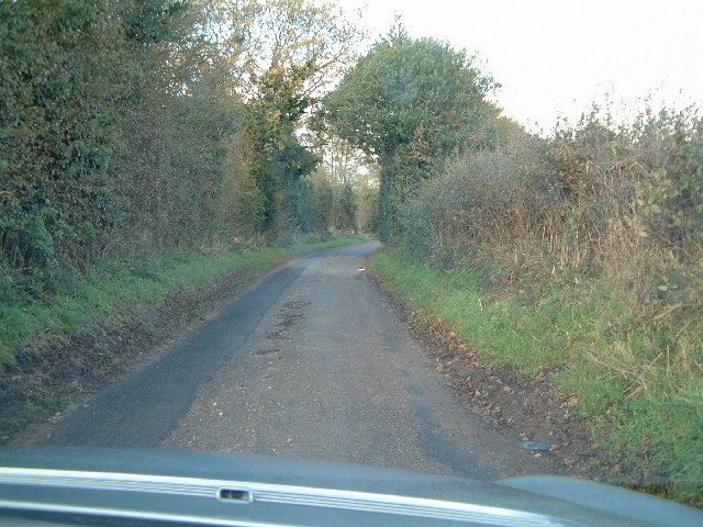
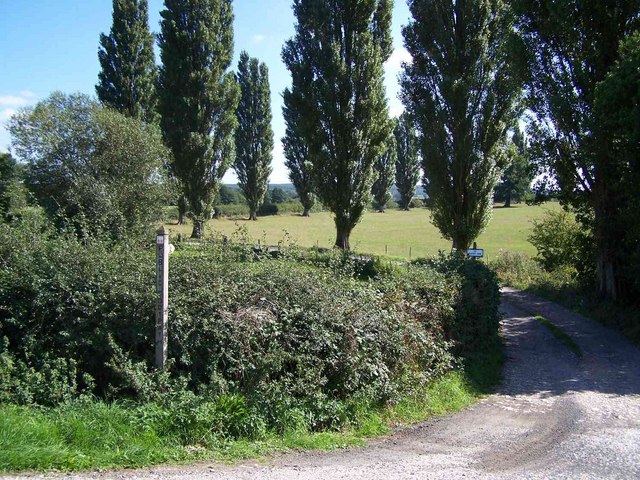
Moors Covert is a beautiful woodland area located in Staffordshire, England. Covering an expansive area, it is known for its dense forest and serene atmosphere, making it a popular spot for nature enthusiasts and hikers.

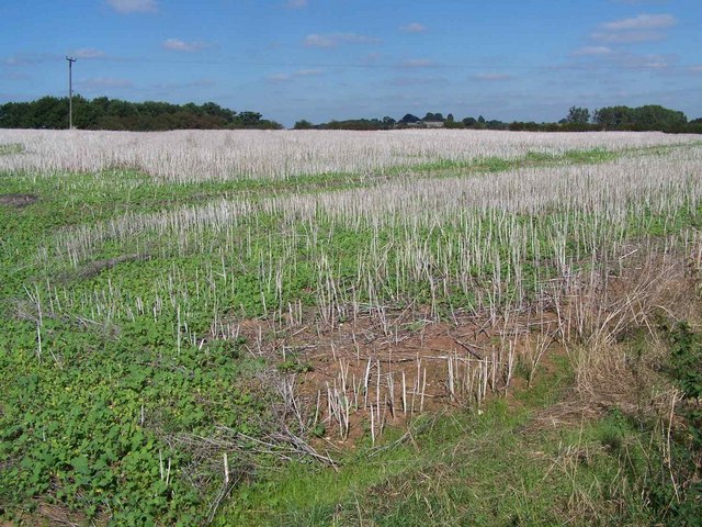
The woodland is predominantly composed of deciduous trees, such as oak, beech, and birch, which create a vibrant and colorful landscape throughout the changing seasons. The forest floor is adorned with a variety of wildflowers, adding to the area's natural charm. Wildlife is abundant in Moors Covert, with numerous species of birds, small mammals, and insects calling it home.

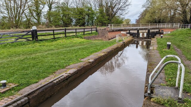
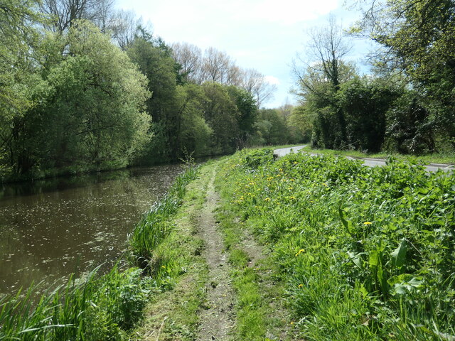
The woodland is crisscrossed by a network of well-maintained walking trails, allowing visitors to explore its beauty at their own pace. These trails vary in difficulty, catering to both casual walkers and experienced hikers. Along the way, visitors can discover hidden streams, peaceful ponds, and picturesque viewpoints.

Moors Covert is also home to several picnic areas and benches, providing the perfect opportunity for visitors to relax and immerse themselves in the tranquility of the forest. The area is well-preserved, with efforts made to protect and conserve its natural habitats.

Managed by the local authorities, Moors Covert offers a peaceful retreat from the hustle and bustle of everyday life. Its accessibility, scenic beauty, and diverse wildlife make it a must-visit destination for anyone seeking solace in nature.

If you have any feedback on the listing, please let us know in the comments section below.

Moors Covert Images

Images are sourced within 2km of 52.753296/-2.0651779 or Grid Reference SJ9517. Thanks to Geograph Open Source API. All images are credited.

Across the fields to church No, it's not a route, just a view from the Staffordshire and Worcestershire Canal, looking north-east towards the Church of St James in Acton Trussell.
Across the fields to church
No, it's not a route, just a view from the Staffordshire and Worcestershire Canal, looking north-east towards the Church of St James in Acton Trussell.
Along Teddesley Road near Newtown
Narrow lane east of Acton Trussell The fly-tipped furniture <a href="https://www.geograph.org.uk/photo/2805943">SJ9418 : Discarded furniture by a country lane</a> that was here on Acton Hall Lane some years ago has been removed.
Narrow lane east of Acton Trussell
The fly-tipped furniture SJ9418 : Discarded furniture by a country lane that was here on Acton Hall Lane some years ago has been removed.
Some people clearly can't read Or they genuinely do not give a monkey's about anyone else, or the state of the countryside around them. This sort of inexcusable behaviour warrants the return of capital punishment, in my book.
Some people clearly can't read
Or they genuinely do not give a monkey's about anyone else, or the state of the countryside around them. This sort of inexcusable behaviour warrants the return of capital punishment, in my book.
Field and hedgerow near Acton Hall Lane
Timber-framed barn at Lower Farm Described in its 1986 Grade II listing <span class="nowrap"><a title="https://britishlistedbuildings.co.uk/101039249-barn-incorporating-cowhouse-approximately-5-yards-north-of-lower-farmhouse-acton-trussell-and-bednall#.Ymo90drMI2w" rel="nofollow ugc noopener" href="https://britishlistedbuildings.co.uk/101039249-barn-incorporating-cowhouse-approximately-5-yards-north-of-lower-farmhouse-acton-trussell-and-bednall#.Ymo90drMI2w">Link</a><img style="margin-left:2px;" alt="External link" title="External link - shift click to open in new window" src="https://s1.geograph.org.uk/img/external.png" width="10" height="10"/></span> & <span class="nowrap"><a title="https://historicengland.org.uk/listing/the-list/list-entry/1039249" rel="nofollow ugc noopener" href="https://historicengland.org.uk/listing/the-list/list-entry/1039249">Link</a><img style="margin-left:2px;" alt="External link" title="External link - shift click to open in new window" src="https://s1.geograph.org.uk/img/external.png" width="10" height="10"/></span> as "Early 18th century", this building is still in agricultural use. It has a cowhouse at the left end, and a threshing room to the right of the full-height doorway.
Timber-framed barn at Lower Farm
Described in its 1986 Grade II listing LinkExternal link & LinkExternal link as "Early 18th century", this building is still in agricultural use. It has a cowhouse at the left end, and a threshing room to the right of the full-height doorway.
Acton Trussell - Parish Church St James Church dates from ca 1300 and lies south of the village Acton Trussell. Note the dinky spire on the low tower.
Acton Trussell - Parish Church
St James Church dates from ca 1300 and lies south of the village Acton Trussell. Note the dinky spire on the low tower.
Acton Trussell - Church Historic parish church of St James seen over part of the moat at the Moat House hotel.
<span class="nowrap"><a title="www.moathouse.co.uk" rel="nofollow ugc noopener" href="http://www.moathouse.co.uk">Link</a><img style="margin-left:2px;" alt="External link" title="External link - shift click to open in new window" src="https://s1.geograph.org.uk/img/external.png" width="10" height="10"/></span>
Acton Trussell - Church
Historic parish church of St James seen over part of the moat at the Moat House hotel. LinkExternal link
A boater's view of Acton Trussell church The church stands isolated in farmland, south of the village and east of the Staffs and Worcs canal. For a closer view, see <a href="https://www.geograph.org.uk/photo/461562">SJ9317 : St James Church, Acton Trussell</a>.
A boater's view of Acton Trussell church
The church stands isolated in farmland, south of the village and east of the Staffs and Worcs canal. For a closer view, see SJ9317 : St James Church, Acton Trussell.
Shutt Hill Lock and bridge The road bridge is in the background
Shutt Hill Lock and bridge
The road bridge is in the background
Recently mown towpath, Staffs & Worcs canal Between Shutt Hill and Park Gate locks, north of Penkridge. There is not much space for the towpath between the water and Teddesley Road.
Recently mown towpath, Staffs & Worcs canal
Between Shutt Hill and Park Gate locks, north of Penkridge. There is not much space for the towpath between the water and Teddesley Road.
Junction of A34 and Sawpit Lane and the way to Penkridge
Junction of A34 and Sawpit Lane
and the way to Penkridge
Country lane near Bednall Small country lane
Country lane near Bednall
Small country lane
All Saints, Bednall <span class="nowrap"><a title="http://churches.lichfield.anglican.org/penkridge/actont/bednall.htm" rel="nofollow ugc noopener" href="http://churches.lichfield.anglican.org/penkridge/actont/bednall.htm">Link</a><img style="margin-left:2px;" alt="External link" title="External link - shift click to open in new window" src="https://s1.geograph.org.uk/img/external.png" width="10" height="10"/></span>
All Saints, Bednall
Near Bednall Looking north
Near Bednall
Looking north
Open Land Looking North West
Open Land
Looking North West
Entrance to Plashes Farm
Stubble Near Acton Trussell
Stubble
Near Acton Trussell
Show me another place!

Moors Covert is located at Grid Ref: SJ9517 (Lat: 52.753296, Lng: -2.0651779)

Administrative County: Staffordshire

District: South Staffordshire

Police Authority: Staffordshire

What 3 Words

///trustees.insisting.alien. Near Penkridge, Staffordshire

Related Wikis

Bednall

Bednall is a village in Staffordshire, England. == Location == Bednall lies somewhat remote from main roads, in dairy-farming countryside some 2.5 miles...

Acton Trussell and Bednall

Acton Trussell and Bednall is a civil parish in the South Staffordshire district of Staffordshire, England. As the name indicates, it contains the two...

Teddesley Hall

Teddesley Hall was a large Georgian English country house located close to Penkridge in Staffordshire, now demolished. It was the main seat firstly of...

Acton Trussell

Acton Trussell is a village in the English county of Staffordshire. It is known as Actone in the Domesday Book. Located around 4 miles southeast of Stafford...

Brocton, Staffordshire

Brocton is a village and civil parish in the English county of Staffordshire. It is within the borough of Stafford. The village describes itself as the...

Dunston, Staffordshire

Dunston is a small village in England lying on the west side of the A449 trunk road about 3 miles (4.8 km) south of Stafford, close to Junction 13 of the...

Cannock Chase German Military Cemetery

The Cannock Chase German Military Cemetery (grid reference SJ984157) is on Cannock Chase, Staffordshire, England. The cemetery contains nearly 5,000 burials...

Walton-on-the-Hill, Staffordshire

Walton-on-the-Hill is a village in the Borough of Stafford in Staffordshire, England. It is about 5 km east of the centre of Stafford, and lies on the...

Related Videos

Teddesley Lock to Gypsey Green Staffordshire Walking Tolkien's Real Shire Narrated Marie Ascot

Marie Ascot A walk through Tolkien's Real Shire from Teddesley Lock to Gypsey Green Staffordshire. This was an hour's walk with ...

BOAT TOUR | Towpath Jungle and a Canal side CHIP FEAST

I meet a lovely couple who have just had a new Narrowboat built by Bourne Boat Builders and they invite me inside for a full BOAT ...

Winter @ Fallow Forest

See the beautiful Cannock Chase forest covered in snow. Filmed at Fallow Forest using DJI Mavic Mini.

Nearby Amenities

Located within 500m of 52.753296,-2.0651779
Telephone
Booth: K6
Covered: booth
Man Made: telephone_box
Tourism: information
Lat/Long: 52.7570618/-2.0640949
Post Box
Post Box Type: lamp
Ref: ST17 313
Royal Cypher: EIIR
Royal Cypher Wikidata: Q33102113
Source: survey
Lat/Long: 52.7570547/-2.064058
Shop: convenience
Lat/Long: 52.7571103/-2.0643005
Bench
Source: survey
Lat/Long: 52.7570464/-2.0640337
Defibrillator
Defibrillator Location: next to red phone box in Bednall
Emergency: defibrillator
Indoor: no
Source: survey
Lat/Long: 52.75706/-2.0640756
Parish Council Notices
Information: board
Tourism: information
Lat/Long: 52.7570574/-2.0641188
Generator Method: photovoltaic
Generator Output Electricity: yes
Generator Source: solar
Generator Type: solar_photovoltaic_panel
Location: roof
Power: generator
Lat/Long: 52.7569096/-2.0694007
The data included in this document is from www.openstreetmap.org. The data is made available under ODbL.

Have you been to Moors Covert?

Leave your review of Moors Covert below (or comments, questions and feedback).