Cuzenage Coppice
Wood, Forest in Dorset
England
Cuzenage Coppice
Cuzenage Coppice is a picturesque woodland located in the county of Dorset, England. Situated just a few miles from the bustling town of Wareham, this woodland is a haven for nature enthusiasts and those seeking a tranquil escape from the busy city life.
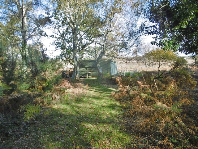
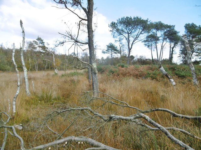
Covering an area of approximately 50 acres, Cuzenage Coppice is predominantly made up of ancient oak trees, with a diverse range of flora and fauna thriving within its borders. The woodland floor is carpeted with bluebells and wild garlic during the spring months, creating a stunning display of color and fragrance.
The coppice has a rich history, dating back centuries. It was traditionally managed for the production of timber and firewood, with evidence of charcoal burning pits still visible today. The practice of coppicing involves cutting trees to the ground and allowing new shoots to grow, resulting in a constant supply of wood while ensuring the sustainability of the woodland ecosystem.
Visitors to Cuzenage Coppice can enjoy a network of well-maintained footpaths and trails that meander through the woodland. These paths offer beautiful views of the surrounding countryside and provide opportunities for wildlife spotting. Birdwatchers may be lucky enough to spot species such as woodpeckers, buzzards, and owls, while small mammals like deer and foxes can also be seen.
Cuzenage Coppice is a popular destination for nature walks and picnics, attracting both locals and tourists alike. Its peaceful ambiance and natural beauty make it an ideal location for those seeking a peaceful retreat in the heart of Dorset's countryside.
If you have any feedback on the listing, please let us know in the comments section below.
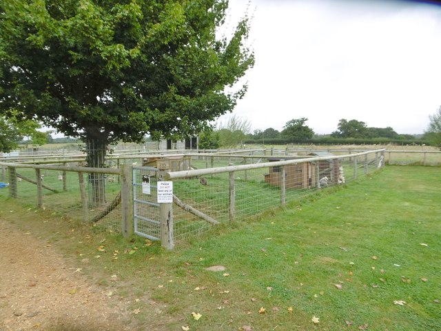
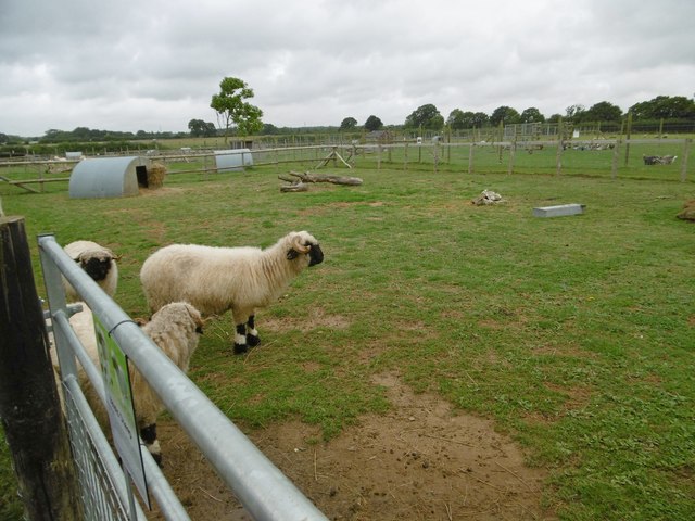
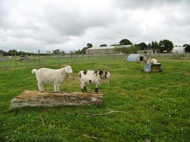
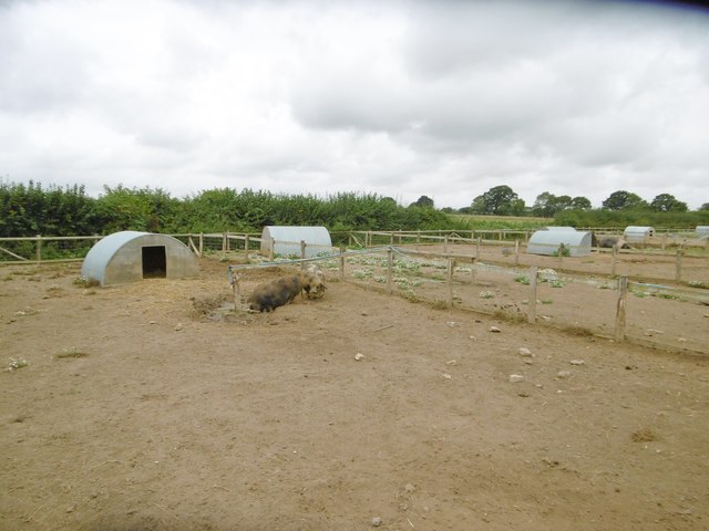
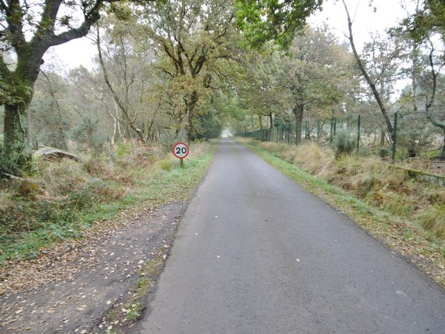
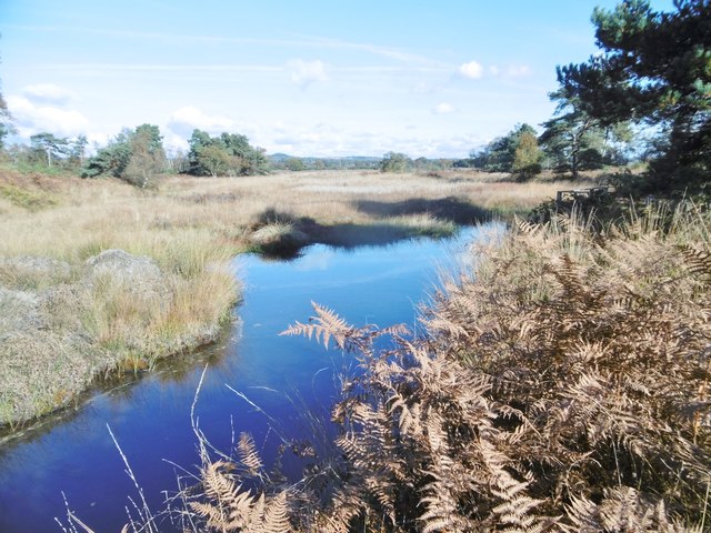
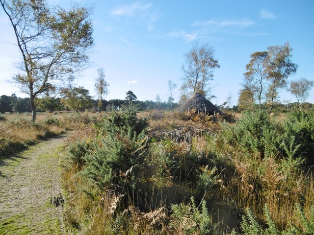
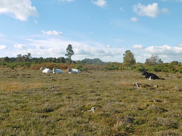
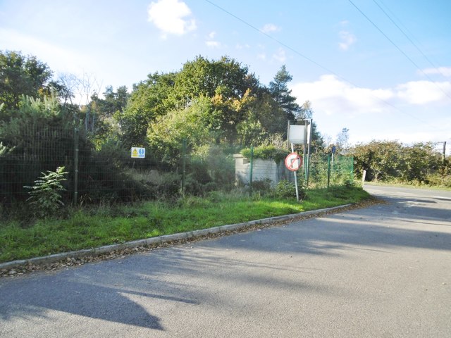
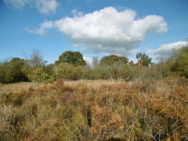
Cuzenage Coppice Images
Images are sourced within 2km of 50.736275/-2.0731957 or Grid Reference SY9492. Thanks to Geograph Open Source API. All images are credited.

Cuzenage Coppice is located at Grid Ref: SY9492 (Lat: 50.736275, Lng: -2.0731957)
Unitary Authority: Dorset
Police Authority: Dorset
What 3 Words
///comical.nail.blues. Near Lytchett Matravers, Dorset
Nearby Locations
Related Wikis

Lytchett Minster
Lytchett Minster is a village in Dorset, England. It lies around 4 miles (6.4 km) north-west of Poole town centre. The village forms part of the civil...

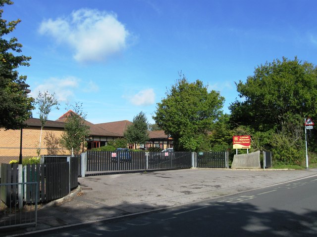
Lytchett Minster School
Lytchett Minster School is a comprehensive school, with about 1,400 students aged 11 to 18, and 100 teachers, in Lytchett Minster, just outside Upton,...

Organford
Organford is a hamlet in the county of Dorset, England. It is located just south of the A35 between Lytchett Minster and Slepe. == References ==
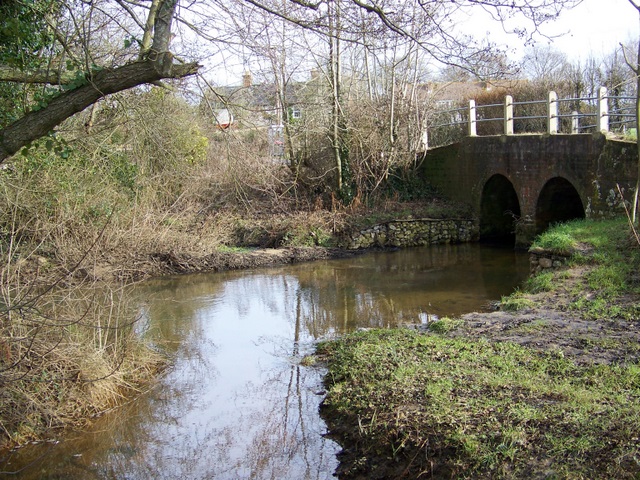
River Sherford
The River Sherford, also frequently called the Sherford River, is one of the four main rivers flowing into Poole Harbour in the county of Dorset, England...
Nearby Amenities
Located within 500m of 50.736275,-2.0731957Have you been to Cuzenage Coppice?
Leave your review of Cuzenage Coppice below (or comments, questions and feedback).